1
Camden
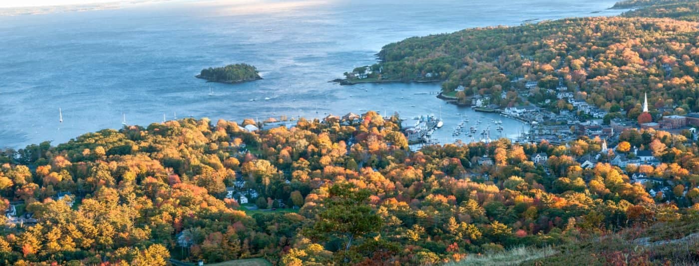
See main listingWhere the mountains meet the sea - windjammer harbor, Mount Battie summit views, and an independent village with real soul.
Details

Guide
Camden Hills State Park in Maine has trails to Mount Battie, Ocean Lookout, Maiden Cliff and Bald Rock, with different climbs, trailheads and views.
Camden Hills State Park is the rare place where you can drive to the view or earn it, and both are worth doing. Roughly 5,700 acres of ridge and forest sit directly behind Camden village, running north toward Lincolnville, with Penobscot Bay laid out below. It rates 4.7 across 2,069 reviews in our dataset (more reviews than any other state park in the midcoast) and it is genuinely as good as that suggests, provided you pick the right trail.
The park's main entrance is at 280 Belfast Rd, on Route 1 about two miles north of Camden village. That single gate handles the campground, the auto road up Mount Battie and most of the trail network, which is why it is the first place to get busy. Several of the best hikes here start somewhere else entirely, and knowing that is most of what separates a good day from a frustrating one.
For lodging choices by setting and stay format, compare Best Hotels in Camden, Maine: Harbor and Inn Picks.
For more trip planning, see What Is Mud Season in Maine?.
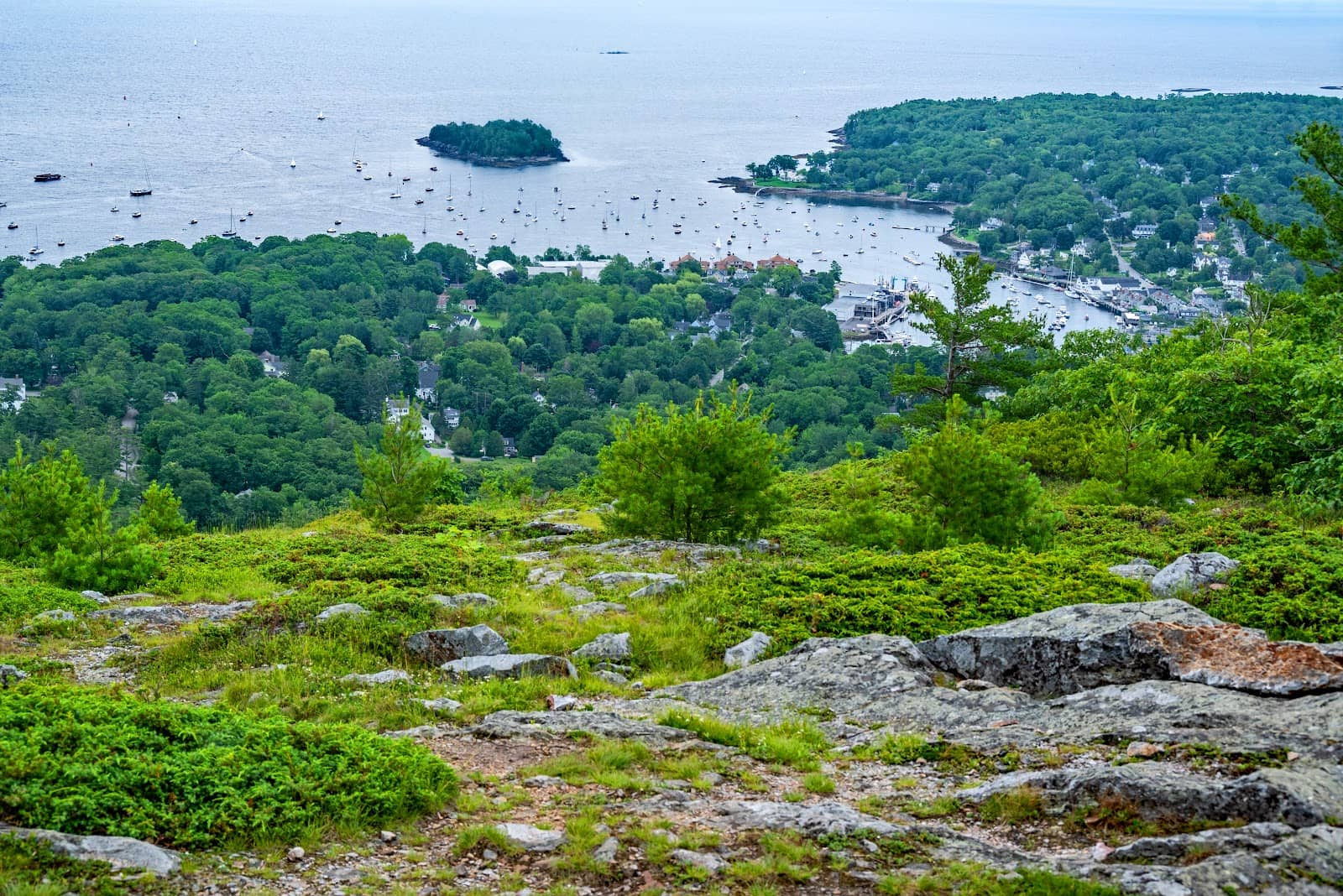
Mount Battie is the low summit (about 800 feet) directly above Camden harbor, and the view from the top is the image that sells the midcoast: the village, the harbor full of masts, the islands of Penobscot Bay stacked out to the horizon. The stone tower at the summit, Mt. Battie Tower, rates 4.8 from 819 reviews in its own right. It's a memorial structure you can climb for a little extra height, and there's a plaque marking the connection to Edna St. Vincent Millay, who grew up in Camden and set her poem Renascence on this view.
You have two ways up.
The auto road. A paved road runs from the park entrance to a parking area just below the summit. It is seasonal, it carries a day-use fee, and it is the reason Mount Battie is accessible to people who cannot hike. Current fees and the season's opening are posted at maine.gov/camdenhills. On a clear October Saturday the summit lot fills and cars queue at the gate. Go early or go on a weekday.
The Mount Battie Trail. The walking route starts from the end of Megunticook Street in Camden village, not from the main park gate: a distinction that catches out a lot of visitors. It's short, under a mile, and steep, gaining most of the 800 feet in a hurry over rock and root. Figure 30 to 45 minutes up. It's a real hike despite the distance, and the trailhead parking is a handful of spaces on a residential street.
The park's signature hike and the one to do if you only do one. Mount Megunticook, at just under 1,400 feet, is the high point of the Camden Hills. Here is the thing nobody tells you: the true summit is wooded and has no view at all. The viewpoint is Ocean Lookout, an open ledge somewhat below and south of the summit, and it is one of the finest outlooks in Maine. A clean drop to the bay with Mount Battie in the foreground.
The standard route climbs from the main park entrance area, roughly two miles round trip to Ocean Lookout with about 1,000 feet of gain, over ledge and loose rock that is slick when wet. Most people turn around at the lookout, which is the correct decision. The trail corridor as a whole rates 5.0 from 21 reviews in our dataset, on a small sample.
4.8 from 91 reviews: the highest-rated trailhead in the Camden Hills by average score. The Maiden Cliff Trailhead is on Route 52 (Turnpike Drive) northwest of the village, well away from the main gate, and the parking is a small roadside lot. The hike is about a mile and a half round trip to a cliff edge above Megunticook Lake, marked by a large white cross placed in memory of a girl who fell here in the 1860s. The view is inland and over the lake rather than out to sea, which makes it a good complement to the Battie and Ocean Lookout views rather than a repeat of them. The cliff edge is unfenced and genuinely exposed; this is not the hike for a child who runs ahead.
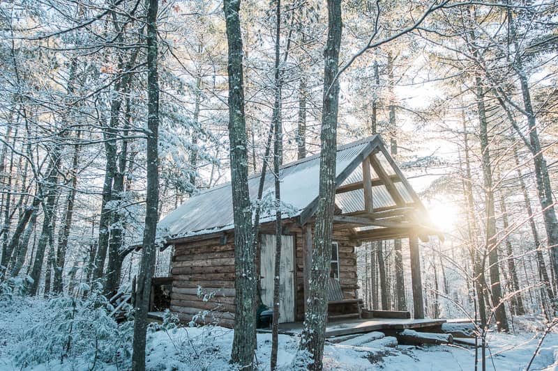
The northern end of the park, reached from Youngtown Road in Lincolnville rather than the Route 1 gate. The climb follows an old road for most of its length and finishes on a ledge looking out over the bay toward the islands. There are backcountry shelters near the summit that can be reserved through the park. It's the quietest of the park's good views by a wide margin, because almost nobody driving Route 1 knows the trailhead exists.
The Old Carriage Road Trail Head rates 4.6 from 35 reviews. These wider, gentler routes through the park's interior are the answer for trail running, cross-country skiing and anyone who wants forest rather than summits. They are also where you go when the ledges are iced and the summit trails are a bad idea.
4.8 from 39 reviews. A viewpoint on the ridge system that shows up in the dataset separately from the main summits and is worth knowing about as a shorter objective on a day when Ocean Lookout feels like too much.
The park's campground sits near the Route 1 entrance and is one of the more popular in the Maine state park system, with the enormous practical advantage of being walking distance from Camden village. Sites go through Maine's state park reservation system on a rolling booking window, and midcoast summer weekends are taken as soon as they open. Off-season and midweek are a different story. Bald Rock's backcountry shelters are a separate, more basic option at the north end. Current fees, the reservation window and the season's dates are all at maine.gov/camdenhills. See also our guide to Maine's state parks.
Fees and hours. Day-use fees apply at the main entrance and change; check maine.gov/camdenhills. The auto road runs a seasonal schedule and closes for winter, though the park itself and its trails stay open year-round for those willing to walk up.
Footing. The summit trails here are ledge and loose rock, not groomed path. Wet granite is slippery and the descent is where people get hurt. Trail runners are fine in the dry; in April mud or November ice, wear something with an edge.
When it's busy. Peak foliage (generally the first half of October in the midcoast) is the single busiest period, and the Mount Battie summit lot can back up onto the auto road. Summer Saturdays are close behind. Weekday mornings in September are close to perfect. Our Maine fall foliage guide covers timing.
Combining with town. The park's proximity to the village is its best feature. You can hike Ocean Lookout in the morning and be eating lunch on Camden harbor by one. Our things to do in Camden guide and Camden restaurants guide cover that half of the day, and the Camden town page has lodging. Rockland, eight miles south, is where to stay if Camden's rates in August have put you off: they're high, and that is not a season-dependent fact.
Yes. A paved auto road runs from the Camden Hills State Park entrance on Route 1 to a parking area just below the summit, leaving a short walk to the tower and the view. It's seasonal and carries a day-use fee, both of which are posted at maine.gov/camdenhills. The road closes for winter, but the Mount Battie Trail from Megunticook Street in the village stays open year-round if you're prepared for ice.
Moderate. About two miles round trip with roughly 1,000 feet of climbing, on ledge and rock rather than smooth trail, taking most people 90 minutes to two hours. It is short but steep and the footing is the hard part, particularly coming down. The true summit of Mount Megunticook beyond the lookout is wooded and viewless, so Ocean Lookout is the sensible turnaround.
Ocean Lookout on the Mount Megunticook ridge, for the drop to Penobscot Bay. Mount Battie has almost the same view with a fraction of the effort, which is why it's more famous and more crowded. Maiden Cliff (4.8 from 91 reviews) is the pick if you want something different. It looks inland over Megunticook Lake. Bald Rock Mountain at the north end gives you an island view with far fewer people.
Effectively yes for any summer weekend. Sites are booked through Maine's state park reservation system on a rolling window that opens well in advance, and this campground goes fast because it is within walking distance of Camden village. Midweek and shoulder-season sites are much easier. Check current availability, fees and the booking window at maine.gov/camdenhills.
Where the mountains meet the sea - windjammer harbor, Mount Battie summit views, and an independent village with real soul.
A Penobscot Bay village with a beach right on Route 1 and the ferry to Islesboro leaving from the same spot.
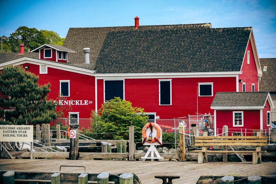
Start here. This 5,500-acre state park on Belfast Road is the region's workhorse, with a campground, trails, and the iconic Mount Battie summit. The drive-up option to the top is free for campers, but the hike itself (not too long) delivers the real reward: you're standing above Camden Harbor looking out across Penobscot Bay, with islands dotting the water in every direction. One visitor called it "one of those worth every step kind of days."
If you're basing yourself in the park overnight, you'll find clean sites, friendly staff, and easy access to downtown Camden for dinner. The park sees wild turkeys, decent cycling trails, and steady foot traffic, so don't expect solitude in peak season. The Mount Battie view is posted on postcards for a reason.
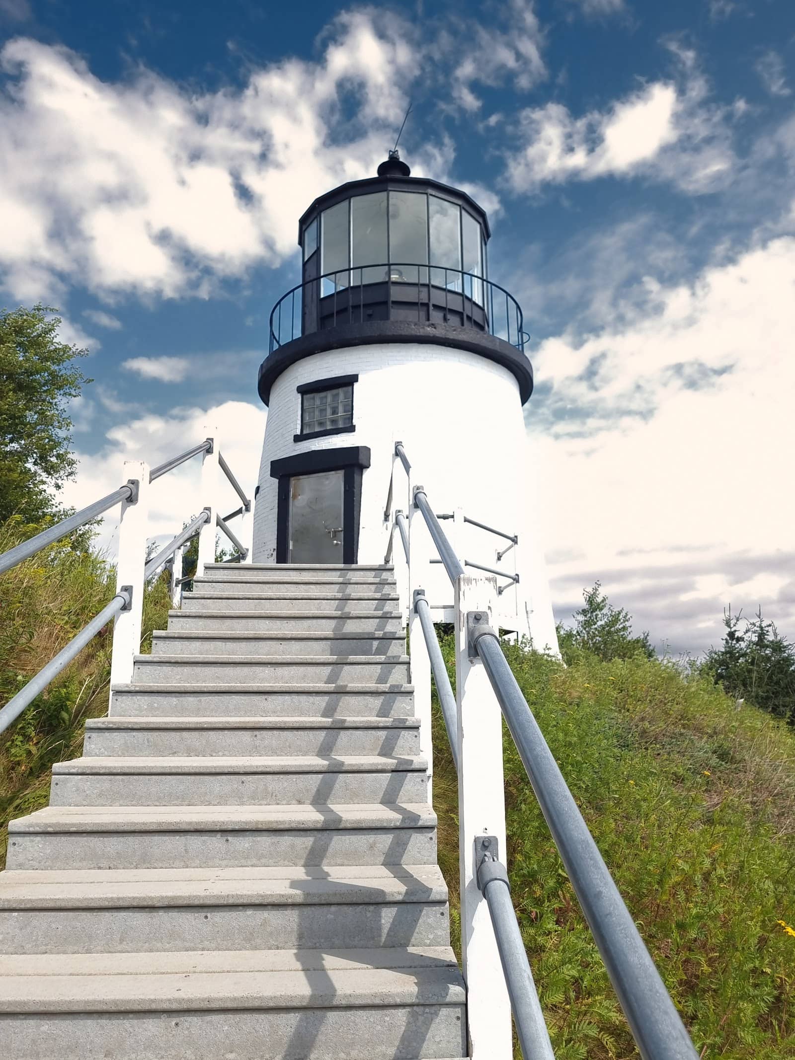
This small but beautiful park centers on Owls Head Lighthouse, a 1825 structure perched on rocky headland. The walk from the parking lot is short and straightforward, but plan for wind once you climb to the lighthouse itself, bring a jacket. The real draw is the vantage point: you're looking straight out over open ocean with a working lighthouse in front of you and a rocky beach with picnic areas below.
Free parking and less crowded than the bigger parks, even on weekends. The views are what visitors come for, and they don't disappoint. It's an easy addition to a day exploring the mid-coast.
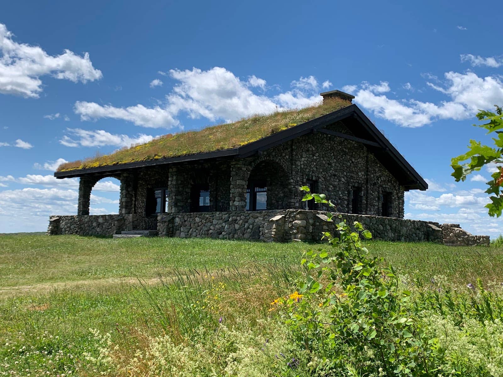
Two hundred ninety-five acres of forested land with two distinct trailheads that feel like different hikes. The Beech Hill Road lot is shorter and family-friendly, following a stone path up to a historic stone hut at the summit. From there you're looking out at the ocean and islands to the front, Ragged Mountains behind. The Erickson Fields trailhead on Route 90 offers a longer, more classic woodland hike with exposed roots and rocks that make it fun to run down.
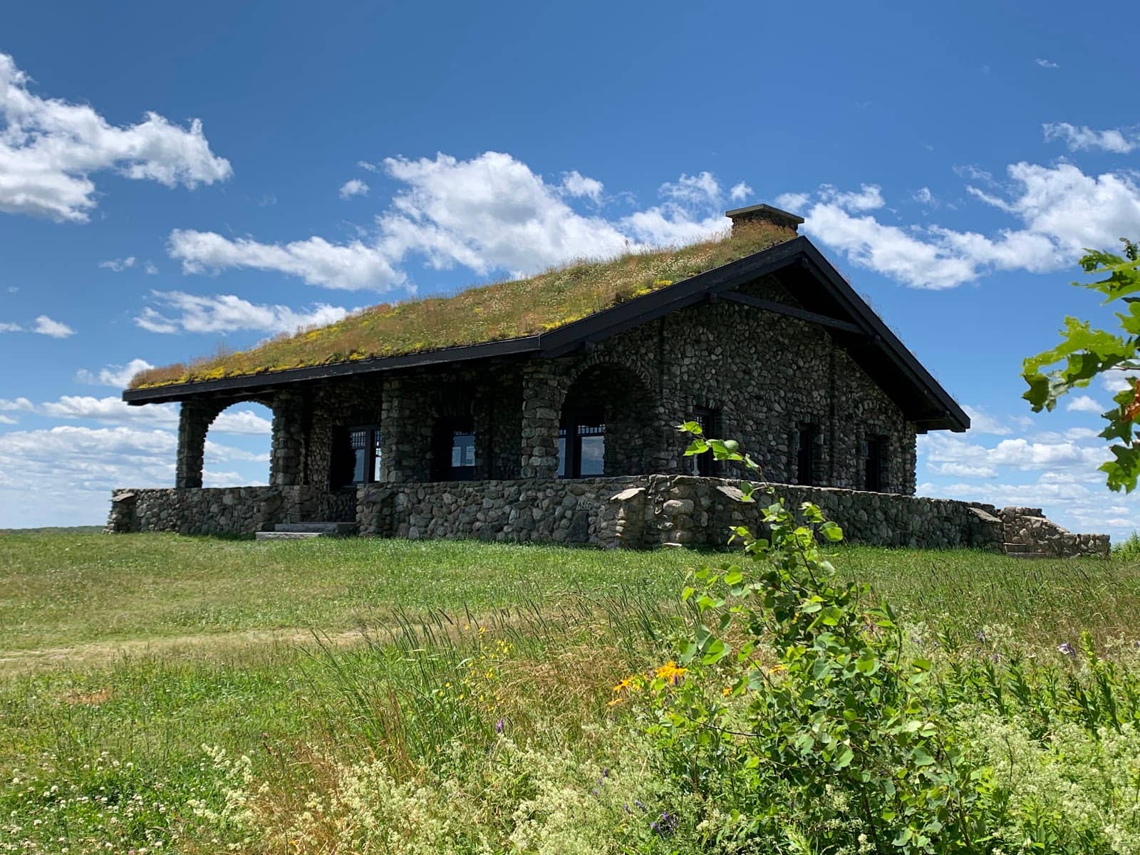
One visitor noted the hut itself is worth photographing, sod roof and all. Both trails are well maintained, though the longer route narrows in spots and can be tricky if you have a reactive dog. Fall hunting happens here, so wear orange if you're hiking then. Spring can be muddy, and tick season requires vigilance.
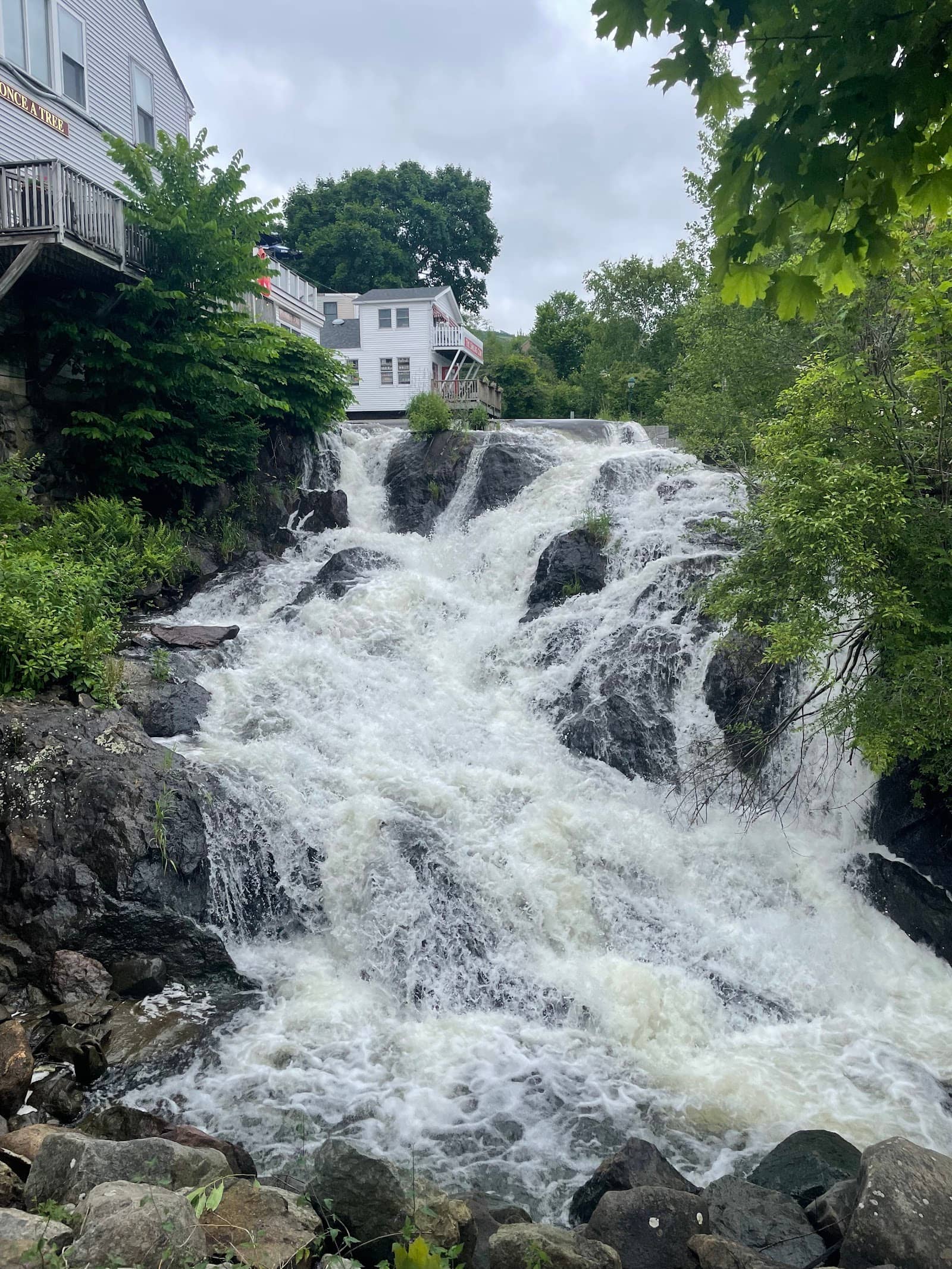
Tucked right next to Harbor Park in downtown Camden, this pocket preserve centers on a waterfall that drops into the bay. It's not a destination hike, you're looking at a short stroll with a waterfall as the focal point. The sound and movement of the water are soothing, and the park offers picnic spots for warmer days.
Location is everything here. You're steps from shops and restaurants, so this works well as a break during a Camden walkabout. Water flow varies with rain and snowmelt, so expect less drama during dry spells. It's a historic part of town, and the spot carries that sense of place.
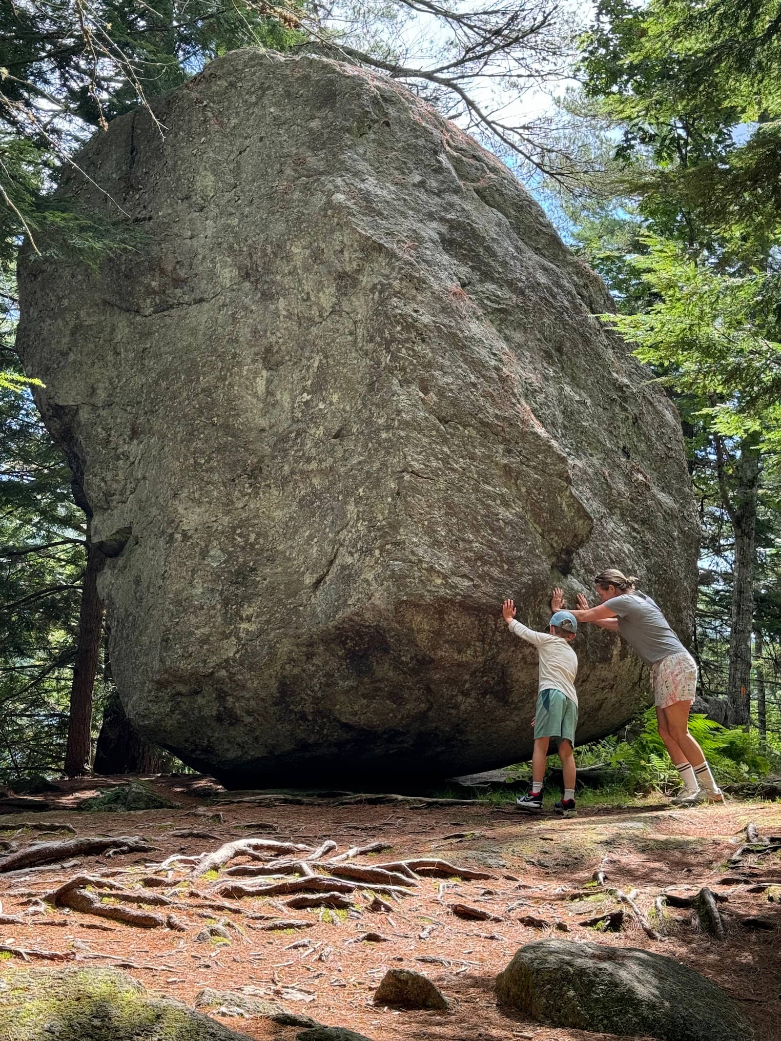
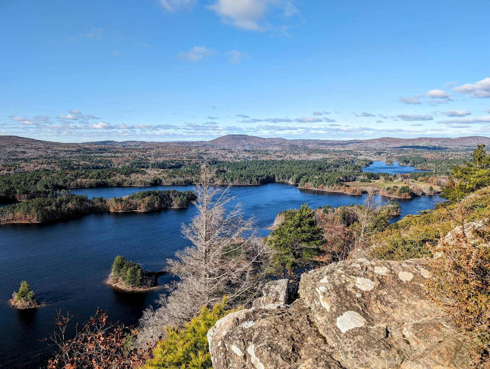
Two hundred eighty-five acres managed by the Coastal Mountains Land Trust, ringed by Megunticook Lake. Four clearly marked trails thread through evergreen forest with plenty of exposed tree roots underfoot, they make the hike more challenging but add character to the walk. The forest is dense, which means it can feel surprisingly cold in winter because the trees block direct sun.
One visitor discovered pitcher plants here, a pleasant surprise if you're used to seeing them only in northern Maine. Google Maps may steer you wrong on Fernald's Neck Road toward the end, so check locally if you're unsure of parking. The trails reward careful footing and a slow pace.
A large property in Jefferson with an extensive trail network through varied terrain, including the standout bog boardwalk. If you've hiked Baxter State Park in the north, you might be surprised to find pitcher plants thriving this far south, the boardwalk is your best chance to spot them. The preserve has multiple loop options, so you can do 3 miles or much more.
Staff and volunteers are engaged and positive. The terrain and trail quality support everything from casual walks to serious training. Tick pressure can be high even in late fall during warm spells, so check yourself and your dogs carefully. You'll hear barred owls if you're quiet.
A one-hour (give or take) uphill workout that works as a training climb for bigger mountains or a standalone hike if you're short on time. The trail starts relatively flat, then settles into a steady incline with one steep, rocky section, nothing that stops hikers of any real experience level. Once you're through the rocky bit, the view opens up to ocean and coastal landscape. The summit has a large cairn, but the real vista is when you continue downhill toward the water and find the legend marking visible peaks and landmarks.
Dog-friendly and well maintained. Timing depends on pace: fast hikers hit it in just over an hour, moderate pace takes 1.5 to 1.75 hours. A lot of mid-coast locals count this as a favorite.
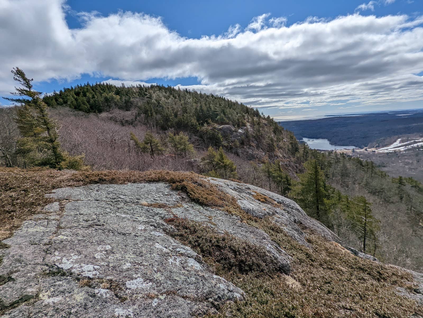
This trail off Route 52 in Camden packs a good workout into a short walk. The hike takes about 35 minutes at a normal pace and earns views overlooking Camden Harbor, Penobscot Bay, and Megunticook Lake at multiple spots along the trail. Tons of rocks and roots keep you engaged, and several steep sections give your legs work. The parking lot is often empty even on weekends, which is a bonus.
The trail is well maintained and easy to follow, though narrow in spots. One visitor linked it into a longer loop with the Ridge Trail and Adam's Look for extra distance. Wind at the top is notable, so dress accordingly.
This is the shorter entry point to Beech Hill Preserve, departing from Rockville Street in Rockport. The path is wide and smooth enough for dogs on leash and possibly motorized wheelchairs. You'll find benches spaced along the way, and the stone hut at the top is photogenic with its sod roof and period charm. Penobscot Bay views are stunning on clear days.
Roughly 2 miles in and out. The woodside trail is more challenging and can be buggy in high season. Blueberries ripen on the summit in late summer, so you can snack your way down. Don't skip this one if you want ocean views without major exertion.
Also known as the Mount Battie Overlook, this is the summit view reached via car from within Camden Hills State Park. A minimal fee gets you to the top by road, which is convenient if weather turns or your knees protest. The panoramic vista is the real reason people come: Camden Harbor in the foreground, islands scattered across Penobscot Bay, hills rolling back inland. Morning light and sunset are both celebrated here.
One visitor called it "the highlight of our trip," and it genuinely earns a spot on any short itinerary. The overlook delivers peace and perspective in equal measure. Yes, you could hike Mount Battie instead, and you should if you can, but this drive-up option guarantees the view no matter what.
Tools
Guides




Destinations

Downeast & Acadia
Gateway to Acadia National Park - Cadillac Mountain, puffin cruises, and a harbor town that fills with cruise ships from May to October.
Southern Maine Coast
Dock Square boutiques, Goose Rocks Beach, and the Bush family's Walker's Point - the quintessential coastal Maine summer town.
Greater Portland
Maine's largest city - a working waterfront, Old Port cobblestones, and a food scene that punches well above its weight.
Midcoast Islands
Shipbuilding heart of Maine since 1743 - Bath Iron Works still launches destroyers past the Maine Maritime Museum on the Kennebec.

Midcoast Islands
A Midcoast harbor town built around boat trips, with the Coastal Maine Botanical Gardens just up the road.
Midcoast Islands
Where the mountains meet the sea - windjammer harbor, Mount Battie summit views, and an independent village with real soul.

Greater Portland
Flagship home of L.L. Bean, open 24/7 - outlets, a tidal river, and surprisingly good eating between the shopping.

Southern Maine Coast
Postcard-perfect village of sea captains' mansions, Lower Village shops, and easy walks to Mother's Beach and Gooch's Beach.