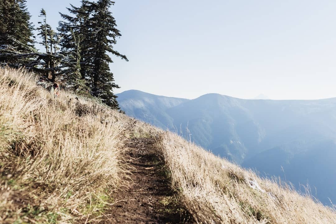
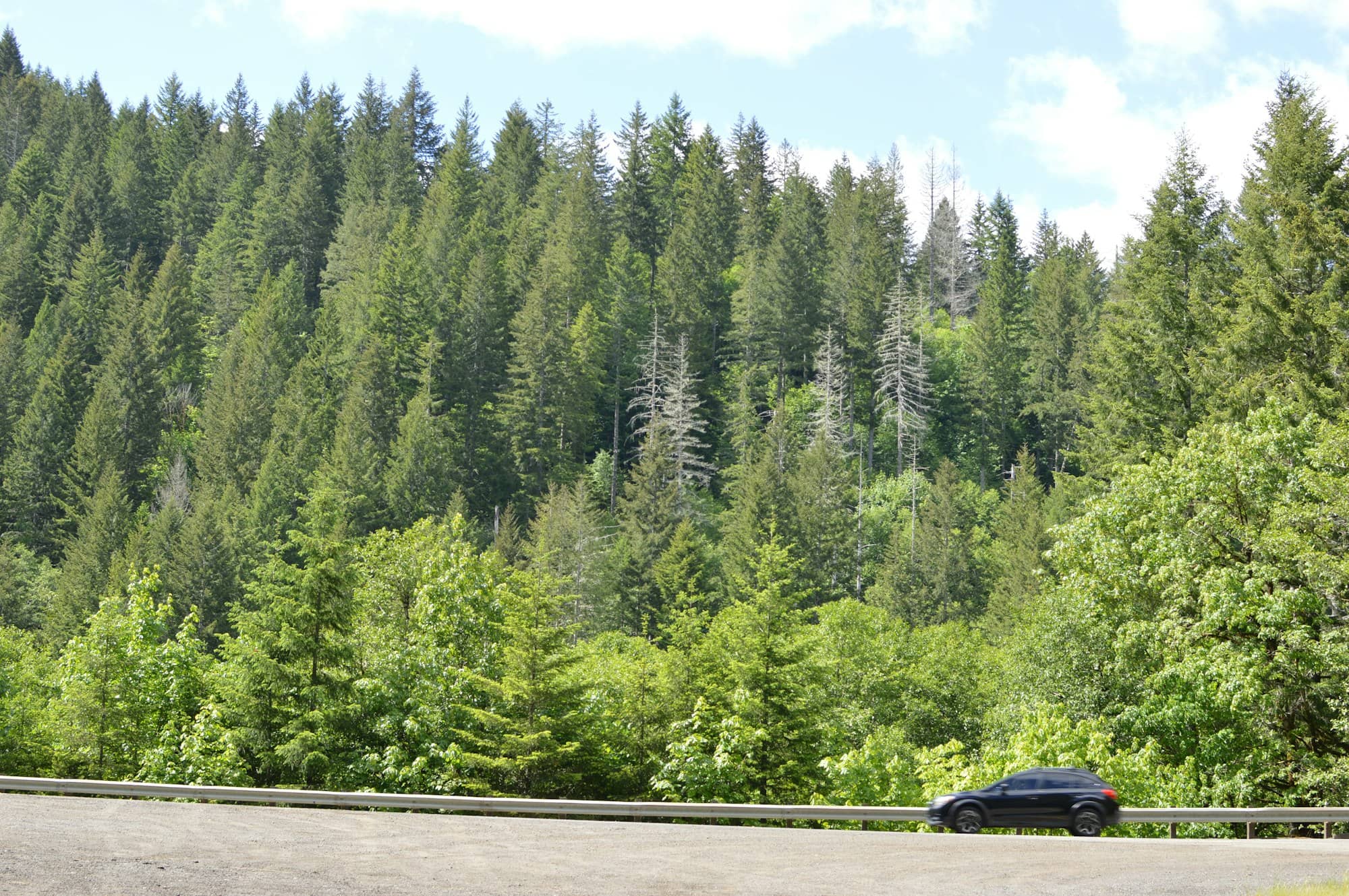
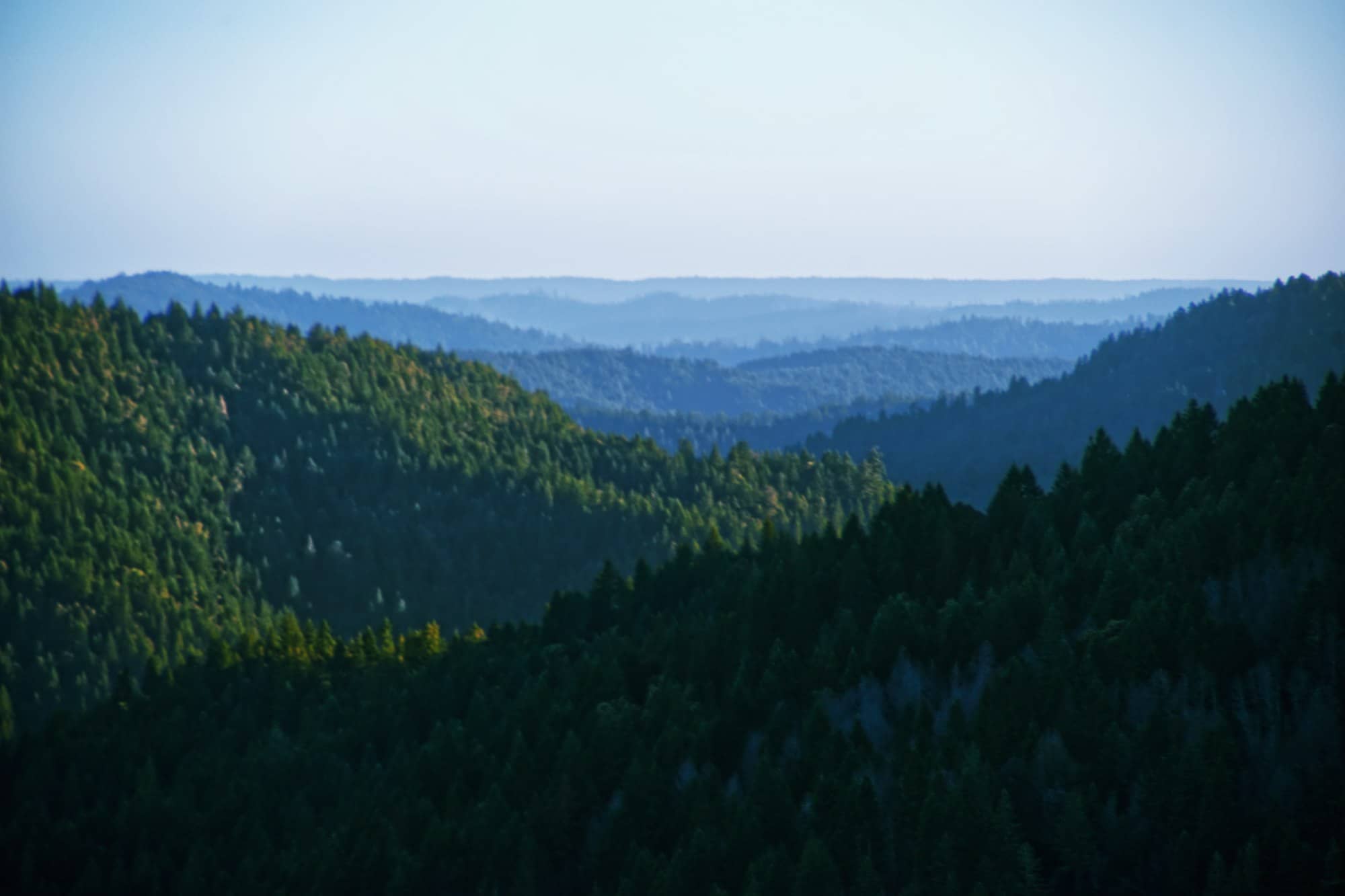
Maine mountains range from Katahdin and western peaks to smaller coastal summits, with climbing difficulty, exposure and travel time shaping the choices.
Compiled from published reviews, official sites and our own research; assessed remotely without firsthand experience.
How Maine's mountains are laid out
Almost all of Maine's elevation sits in a rough band running from the southwest corner of the state to the northeast, the tail end of the Appalachians. Within that band there are three areas worth thinking about separately.
- The north woods. Katahdin and the Baxter State Park peaks, plus the Hundred-Mile Wilderness. The biggest, most committing terrain in the state, and the most remote.
- The western mountains. Grafton Notch, the Mahoosucs, Bigelow, the Rangeley and Weld areas, and the two large ski resorts. This is where most of the 4,000-footers are, and it is the most accessible serious hiking.
- The coastal hills. Acadia's granite domes and the Camden Hills. Nothing here breaks 1,600 feet, and the views are still among the best in New England because you gain the whole ocean on the way up.
Katahdin's Baxter Peak tops out at 5,269 feet. Sugarloaf, at roughly 4,237 feet, is the highest mountain outside Baxter State Park. After that it drops off quickly, and honestly, the height barely correlates with whether a climb is worth doing.
Katahdin
Katahdin is the mountain the rest of the state is measured against. It sits inside Baxter State Park (4.8 from 854 reviews), it is the northern terminus of the Appalachian Trail, and every route to the summit is a long, steep, rock-scrambling day rather than a walk.
The Knife Edge is the reason people know it: a mile-long arête connecting Pamola Peak to Baxter Peak, narrowing in places to a few feet wide with drops on both sides. It is not technical climbing, but it is genuinely exposed, there is no bail-out once you commit, and it is a bad place to be caught in weather. Read our guide to the Knife Edge before you plan around it.
The logistics are the hard part. Baxter caps vehicle numbers, requires day-use parking reservations for the popular trailheads, and releases them on a rolling window that clears in minutes for summer weekends. Roaring Brook Campground (4.8 from 109 reviews) is the usual launch point and books out just as fast. There are no stores in the park and no pets allowed. Base yourself in Millinocket and start absurdly early.
If you would rather look than climb (a completely reasonable choice) the Mount Katahdin Scenic Overlook in Medway (4.8 from 782 reviews) gives you the whole massif from a roadside pullout on the drive in.
The western mountains
Grafton Notch State Park (4.8 from 1,069 reviews) in Newry is the best single introduction to this region. Route 26 runs through a glacial notch with waterfalls right beside the road, and the trailheads climb out either side: Table Rock for a short, steep scramble with a view straight down the notch, Old Speck for a full day on the state's highest peak outside Baxter, and the Appalachian Trail crossing in the middle of it. Our Grafton Notch guide covers the individual trails.
Mt. Blue State Park (4.7 from 532 reviews) near Weld is quieter and family-shaped, with a lake and a campground alongside the mountain itself. Tumbledown Mountain, nearby, is the local favorite. A shorter climb than Old Speck with a pond in a bowl near the summit and a chimney scramble on the loop route that beginners should route around rather than through.
Bethel is the practical base for the whole southwestern corner. Sunday River Resort (4.6 from 3,081 reviews) is the largest attraction in the area by review volume: a ski resort in winter that runs lift-served hiking and biking in summer, covered in our Sunday River guide. Around it are smaller trailheads most visitors miss: Long Mountain Trailhead (4.9 from 22 reviews) and Round Mountain Hiking Trail (4.7 from 11) are both short, both nearly empty.
Further north, Rangeley and the Bigelow Preserve give you high ridges above Flagstaff Lake and some of the best long views in the state, with a fraction of Acadia's traffic. And Mount Kineo State Park (4.6 from 25 reviews) is an oddity worth the effort: a cliff rising straight out of Moosehead Lake, reached by a short boat shuttle from Rockwood near Greenville, with a fire tower on top. You cannot drive to it. That is the appeal.
The coastal mountains
These are small and they punch far above their elevation, because the vertical you climb is all of it. You start at sea level.
In Acadia, Cadillac Mountain (4.9 from 1,528 reviews) is the headline at 1,530 feet, and for part of the year (roughly early October to early March) it is the first place in the United States to see the sunrise. It also has a road to the top, a large parking lot, and a timed vehicle reservation requirement in the busy season. The summit is a genuine view and a genuinely crowded one.
The better Acadia climbs are the ones without roads:
- Beehive Trail: 4.9 from 583 reviews. Iron rungs and ladders bolted to a cliff, gaining about 450 feet very fast. Not a descent route and not for anyone uneasy with heights.
- Gorham Mountain Trailhead: 4.9 from 274 reviews. The friendliest ocean-view climb in the park, and the one to do if the Beehive sounds like too much.
- Dorr Mountain Trailhead: 4.9 from 63 reviews. Long granite staircases up Cadillac's neighbor, with a fraction of the people.
- Acadia Mountain Trailhead: 4.8 from 71 reviews. On the quiet west side above Somes Sound.
- Flying Mountain Trailhead: 4.9 from 160 reviews. Barely 280 feet of climbing to a view over the sound. The best effort-to-payoff ratio on the island.
On the midcoast, Camden Hills State Park (4.7 from 2,069 reviews) holds Mount Battie and Mount Megunticook. Mt. Battie Tower (4.8 from 819 reviews) is the famous one, with a stone tower over Penobscot Bay, and an auto road, which means you will share it with people who did not walk. Mount Megunticook (5.0 from 21 reviews) is higher, wooded, and quieter, and the Maiden Cliff Trailhead (4.8 from 91 reviews) route to the cliff over Megunticook Lake is the best short hike in Camden.
Short climbs that punch above their weight
If you have two hours rather than eight, these are the ones people who live here actually use.
| Hike | Where | Rating | Reviews | Why go |
|---|
| Bradbury Mountain State Park | Pownal | 4.7 | 1,318 | Half an hour from Portland; summit in 15 minutes |
| Mount Agamenticus Conservation Region | York | 4.8 | 897 | Ocean and inland views from under 700 feet |
| Beech Hill Preserve | Rockport | 4.8 | 361 | Open blueberry summit with a sod-roofed hut |
| Hacker's Hill Preserve | Casco | 4.9 | 297 | Sebago and the White Mountains from a short walk |
| French Mountain | Rome | 4.8 | 216 | Belgrade Lakes from a 20-minute climb |
| Bauneg Beg North and Middle Mountain | North Berwick | 4.7 | 166 | Best short hike in the far southwest |
| Morse Mountain to Seawall Beach | Phippsburg | 4.9 | 107 | A small summit that ends on an undeveloped barrier beach |
| Bald Mountain Preserve | Camden | 4.9 | 103 | Quieter alternative to the Camden Hills crowds |
| Mt Pisgah Conservation Area Trailhead | Winthrop | 4.8 | 71 | Fire tower you can climb, central Maine views |
Two honest notes on that list. Bradbury Mountain is the most-reviewed short hike in Maine at 1,318 reviews and it is busy accordingly. The lot fills on fall weekends and the summit is a rock slab with a couple dozen people on it. Its real distinction is the spring hawk migration count, which is a genuinely good reason to go in April. And Mount Agamenticus has a road to the summit too, so plan on company at the top even if you walked.
The same mountains in winter
Maine's mountains have a second, entirely separate season, and it is the one the state's economy actually runs on up there. Sunday River Resort (4.6 from 3,081 reviews) near Bethel and Sugarloaf in the Carrabassett Valley are the two large resorts, spread across multiple peaks with the longest seasons in New England outside the highest White Mountain terrain. Smaller and cheaper mountains do most of the work for people who live here: The Camden Snow Bowl (4.6 from 446 reviews) is the only ski area in the country with an ocean view from the trails, and Saddleback near Rangeley draws people who want a big mountain without a resort village attached.
For hikers, winter changes the terms completely. Below about 2,000 feet, microspikes and a headlamp turn the coastal hills and Bradbury into perfectly good year-round walks. Arguably better, since the leafless woods open up the views. Above that, you are looking at full winter conditions: deep snow, ice on the ledges, short daylight, and summit temperatures that bear no relation to the coast. Baxter State Park closes to vehicles and becomes a multi-day ski or snowshoe trip requiring a separate winter-use registration.
Practical matters
Season
Hiking season in Maine effectively runs May through October, with real variation by elevation.
- April to mid-May is mud season. Higher trails are still holding snow and ice, and walking on soft trail does real damage. Stick to the coast.
- Late May through June brings blackflies, and people underestimate them badly. In the western mountains and the north woods they can make an otherwise good day miserable. Head nets are not a joke.
- July and August are reliable, warm, humid and busy. Above treeline this is the safest window.
- September and early October are the best hiking of the year: dry air, no bugs, long views, foliage. Everyone knows it, so parking is the constraint.
- November through April is winter above 3,000 feet, whatever the coastal forecast says. Baxter closes to vehicle traffic and becomes a ski-in proposition.
Weather above treeline
Katahdin, the Bigelow ridge and the higher western summits are all exposed enough to be dangerous in bad weather, and Maine's forecast can turn faster than the drive out. Carry layers, carry more water than feels necessary, and be willing to turn around. Baxter posts a daily trail class rating at the gatehouse; if it says the summit trails are not recommended, that is not a suggestion.
Access and permits
Most Maine state parks charge a modest day-use fee at a gatehouse, with reduced resident rates, and several of the popular trailheads now need reservations at peak times. Baxter is the strictest by a wide margin. Acadia requires a park pass and a separate timed reservation for the Cadillac summit road in season. Current fees and reservation windows live on maine.gov, baxterstatepark.org and nps.gov. Check them rather than trusting any number you read secondhand.
Hunting is permitted on a lot of Maine land outside the parks, and the fall seasons overlap prime hiking weather. Wear blaze orange from late October onward if you are on land trust or public reserved land, and note that hunting is not allowed on Sundays in Maine.
Frequently asked questions
What is the highest mountain in Maine?
Katahdin, whose Baxter Peak reaches 5,269 feet, inside Baxter State Park near Millinocket. It is also the northern terminus of the Appalachian Trail. The highest mountain outside Baxter State Park is Sugarloaf, at roughly 4,237 feet, in the Carrabassett Valley. Maine has fourteen peaks above 4,000 feet in total, nearly all of them in the western mountains and the north woods.
How hard is it to climb Katahdin in a day?
Hard. Every route to Baxter Peak involves somewhere around 4,000 feet of climbing over rough, rocky ground, and most parties take eight to twelve hours round trip. There is sustained hand-over-hand scrambling on the standard routes and the upper mountain is fully exposed to weather. It is a strenuous day for experienced hikers and not a reasonable first mountain. Day-use parking reservations are required and go quickly.
What is the best mountain hike in Maine for beginners?
Bradbury Mountain State Park in Pownal, half an hour from Portland, gets you to a real summit view in about fifteen minutes on the direct trail. On the coast, Flying Mountain in Acadia climbs under 300 feet to a view over Somes Sound, and Gorham Mountain gives you an ocean-side ridge without the ladders of the neighboring Beehive. All three are short enough for young children.
When is the best time of year to hike in Maine?
Mid-September through mid-October. The air is dry, the blackflies are gone, the views are at their clearest and foliage moves down from the mountains to the coast across those weeks. Late May and June are green and quiet but buggy, July and August are warm and crowded, and anything above 3,000 feet is a winter mountaineering objective from November onward.