1
Kittery
See main listingMaine's southern gateway - Kittery Trading Post, the outlet strip, and Kittery Point lobster shacks Bourdain put on the map.
Details

Guide
Kittery Point, Maine is the part of Kittery that nobody means when they say Kittery. Skip the outlet strip, follow Route 103 east along the tidal coves, and within four miles you reach Fort McClary: a hexagonal blockhouse over the mouth of the Piscataqua, and the best-rated historic site in southern Maine. This is what is out there, and how to do it in half a day.
Compiled from published reviews, official sites and our own research; assessed remotely without firsthand experience.
Most people who say they went to Kittery mean the Route 1 outlet strip a mile off I-95. Kittery Point is the other thing entirely: a narrow finger of land running east from the town center along Route 103, past tidal coves and clapboard houses, out toward Gerrish Island. There are no outlets. There is almost no commerce. What there is instead is the mouth of the Piscataqua River, two forts, and a road that keeps handing you the water.
Kittery is also the oldest incorporated town in Maine, and the Portsmouth Naval Shipyard (an active facility, closed to the public) occupies Seavey Island in the river between here and New Hampshire. That combination is why the point is fortified at all.
The reason to make the drive. Fort McClary sits on a rise above Pepperrell Cove on Route 103, and what you see first is the blockhouse: a squat hexagonal timber structure on a granite base, with the upper story overhanging the lower. It is one of the most photographed military structures in Maine and, at 4.7 across 1,308 reviews, the best-rated historic site in the southern part of the state.
The point has been fortified in one form or another since colonial times, guarding the approach to the Piscataqua and the shipyard beyond. The current blockhouse is a nineteenth-century structure. Around it are the remains of a later expansion that was never finished (cut granite blocks stacked and abandoned, walls that stop mid-course) along with a powder magazine, a rifleman's house and earthworks running down toward the water. The unfinished quality is the most interesting thing about the site, and nobody puts it on a postcard.
Practically: it is a small site and forty-five minutes covers it thoroughly. There is a grassy picnic area with a direct view down the river to Portsmouth Harbor. Parking is a modest lot right on Route 103 that fills on summer weekends. It operates as a seasonal state historic site with a day-use fee; opening dates and current rates are posted on maine.gov, and outside the season you can still walk the grounds from the roadside though the buildings are closed.
4.7 · 1,308 reviews · Pepperrell Rd, Kittery Point · maine.gov
Three miles further out, across the bridge onto Gerrish Island, and a completely different proposition. Fort Foster is a town park rather than a historic site, and the fortifications (concrete gun batteries and observation positions from the twentieth-century harbor defenses) are secondary to what people actually come for: pebble beaches on three sides, a long pier, picnic ground, and an open view across the river mouth to the harbor lighthouses.
It rates 4.7 across 694 reviews and it is the better of the two if you have a whole afternoon and children who need somewhere to run. Seasonal gate hours and a vehicle fee, both set by the town. The road out is narrow and residential; drive it slowly.
4.7 · 694 reviews · 76 Pocahontas Rd, Kittery Point · kitteryme.gov
Kittery is a small town and the corpus is correspondingly small: eleven places worth listing, which is itself useful information. These are sorted by rating multiplied by review count, so the order reflects what has been tested by the most people and still holds up.
The bottom half of that list carries very few reviews, and you should read the perfect scores accordingly. Seven reviews is a sample, not a verdict. What the list genuinely shows is the shape of the town: two forts, one serious restaurant, one big-volume seafood house, and a handful of small galleries. Kittery Point has no restaurants of its own in the data at all.
The efficient version is a loop. Come off I-95 at Kittery, do the outlets first if you are going to at all, then take Route 103 east. Fort McClary is about four miles along, on the right, with the water on your left the whole way. Continue to Gerrish Island for Fort Foster, then rejoin Route 1 or carry on into York.
Total driving is under twenty minutes; the visit is as long as you make it. Both forts are seasonal, and Fort Foster in particular closes for the winter, so a January trip means looking at Fort McClary from the road and little else.
Two honest limitations. Kittery Point is residential and there is nowhere on Route 103 to buy lunch. Plan to eat in Kittery Foreside, on Route 1, or across the bridge in Portsmouth, New Hampshire, which is five minutes away and has far more choice. And parking at both forts is genuinely tight in July and August; mid-morning on a Saturday is the worst possible arrival time.
For the wider town, including the outlet strip and the Foreside restaurants, see things to do in Kittery and the Kittery town page. Ten minutes north, York gives you Nubble Lighthouse and two of the best beaches on this coast, and the full regional picture is in things to do in southern Maine.
Yes, with the right expectation. It is a compact site (the blockhouse, a magazine, some unfinished granite walls and a picnic ground on the river) and forty-five minutes is enough. What makes it worth the detour is the setting on Pepperrell Cove and the fact that the fort was left half-built, which is more interesting than a restored one. It holds 4.7 across 1,308 reviews, the best-rated historic site in southern Maine.
Two things, essentially: Fort McClary State Historic Site and Fort Foster on Gerrish Island. Between them you get a nineteenth-century blockhouse, twentieth-century gun batteries, pebble beaches, a fishing pier and views across the Piscataqua to Portsmouth. Kittery Point itself is residential (no shops, no restaurants in our data) so combine it with the Foreside district or Route 1 for food.
About four miles and ten minutes east along Route 103, though summer traffic on Route 1 can double that. They are different worlds: the outlets are a commercial strip beside the interstate, Kittery Point is a quiet coastal road. Most visitors do both in the same trip and are surprised how quickly the landscape changes.
Neither operates fully year round. Fort McClary runs as a seasonal state historic site with a day-use fee. Check maine.gov for current opening dates and rates, and the grounds are generally accessible off-season even when the buildings are not. Fort Foster is a Kittery town park with seasonal gate hours and a vehicle fee set by the town, and it closes over the winter. Confirm both before a shoulder-season trip.
Maine's southern gateway - Kittery Trading Post, the outlet strip, and Kittery Point lobster shacks Bourdain put on the map.
Guides
Destinations

Downeast & Acadia
Gateway to Acadia National Park - Cadillac Mountain, puffin cruises, and a harbor town that fills with cruise ships from May to October.
Southern Maine Coast
Dock Square boutiques, Goose Rocks Beach, and the Bush family's Walker's Point - the quintessential coastal Maine summer town.
Greater Portland
Maine's largest city - a working waterfront, Old Port cobblestones, and a food scene that punches well above its weight.
Midcoast Islands
Shipbuilding heart of Maine since 1743 - Bath Iron Works still launches destroyers past the Maine Maritime Museum on the Kennebec.
Midcoast Islands
A Midcoast harbor town built around boat trips, with the Coastal Maine Botanical Gardens just up the road.
Midcoast Islands
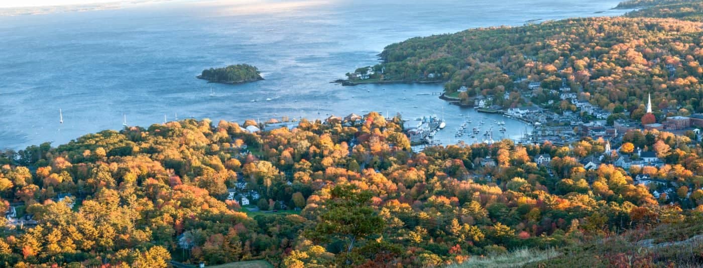
Where the mountains meet the sea - windjammer harbor, Mount Battie summit views, and an independent village with real soul.
Greater Portland
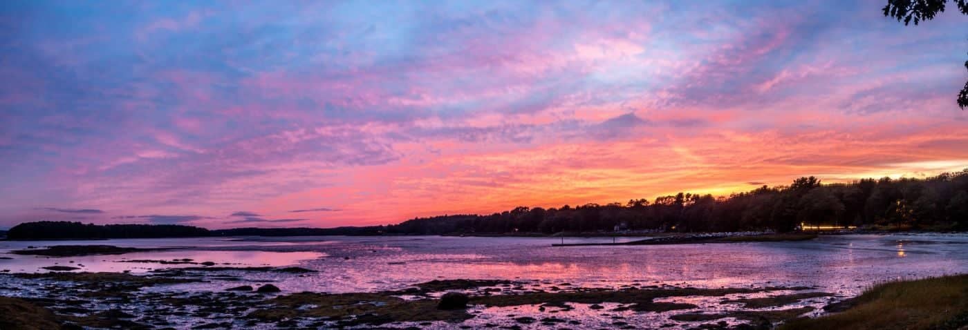
Flagship home of L.L. Bean, open 24/7 - outlets, a tidal river, and surprisingly good eating between the shopping.
Southern Maine Coast
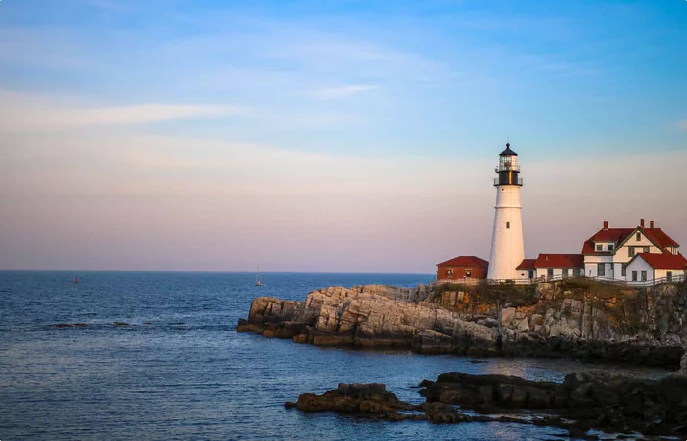
Postcard-perfect village of sea captains' mansions, Lower Village shops, and easy walks to Mother's Beach and Gooch's Beach.