Tools
Tools in Maine
Maine travel tools help answer specific planning questions: which ferry serves an island, when a tide is predicted or how a seasonal pattern varies across the state. Choose the tool for the decision you need to make, then read its source and date. A calculation, a sample and a live observation are different kinds of information.
Built on public data, with the method and its limits written down on every page. If a number here is wrong, the working is there so you can see where it went wrong.
 Planning
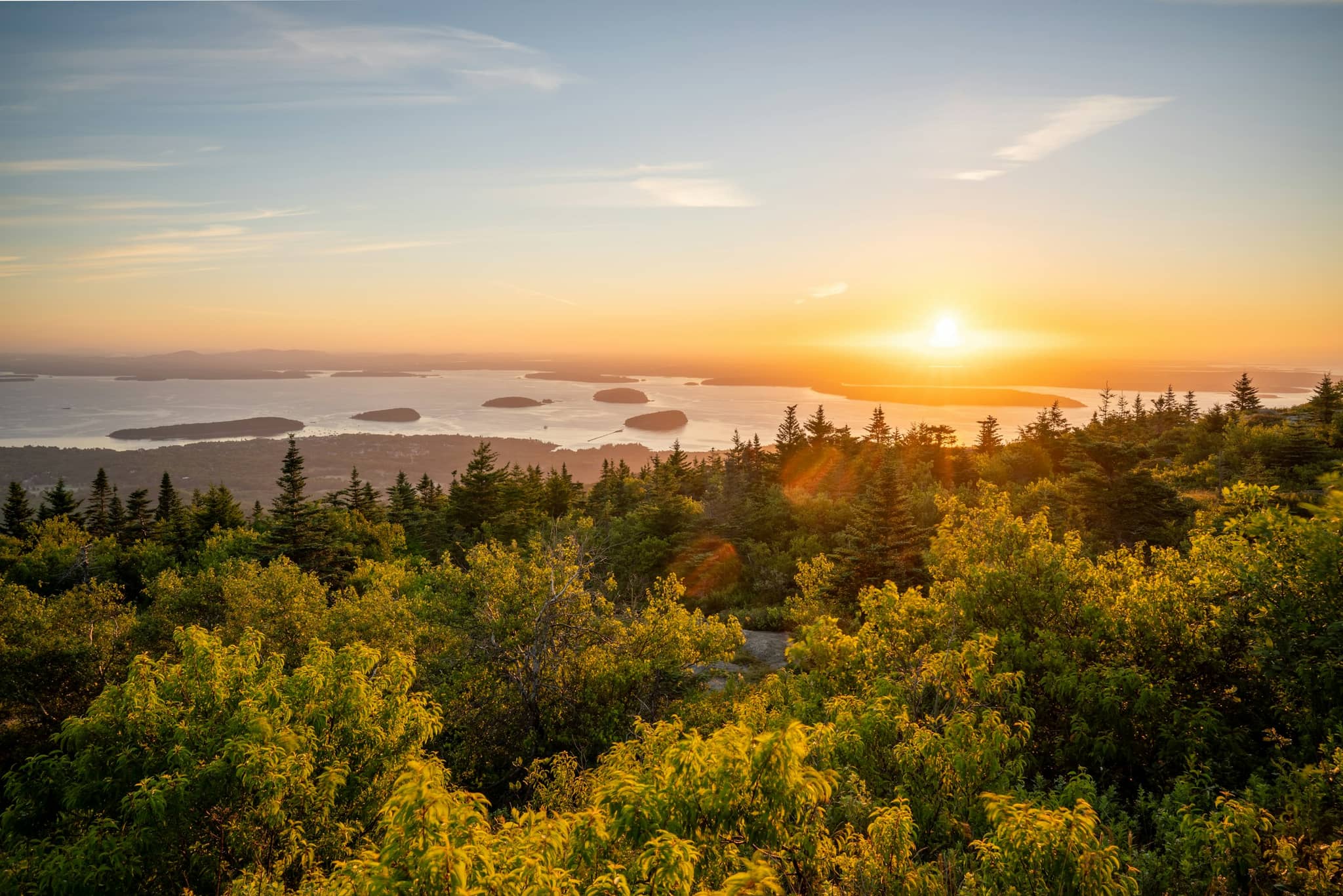
First sunrise in America
Which Maine summit or headland catches the first light in the country today, and why the answer changes through the year.
 Planning
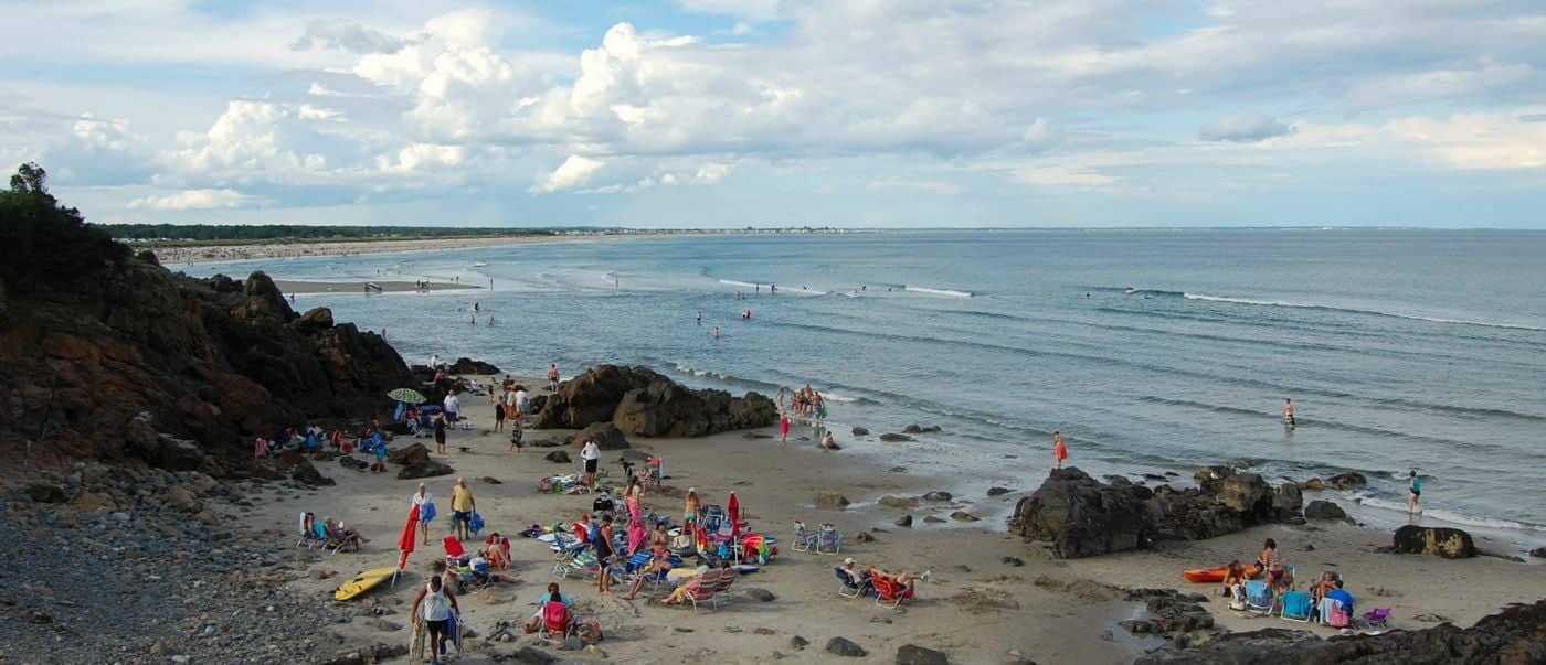
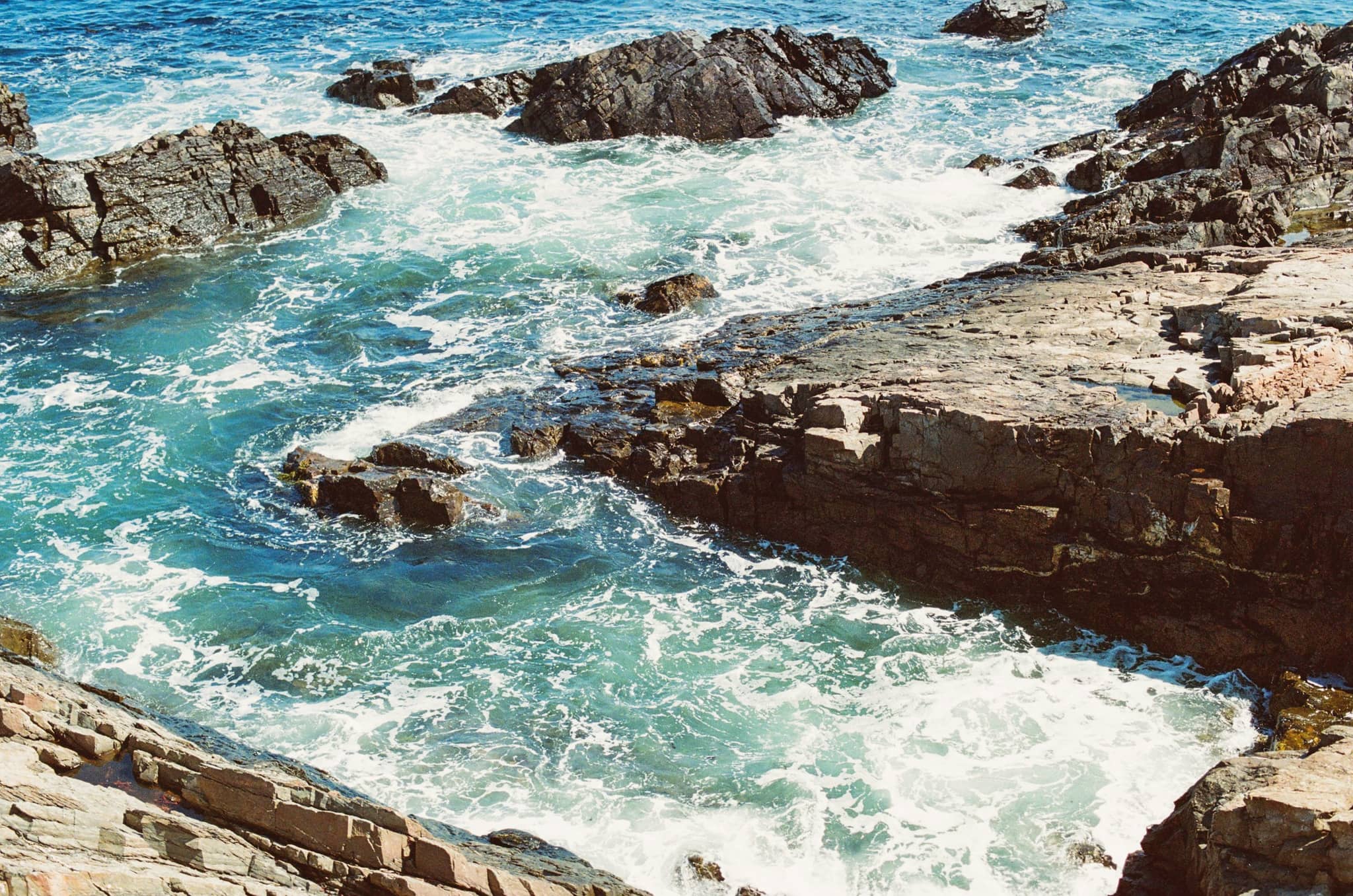
Tide times and low-tide windows
Maine has some of the biggest tides in the country. Today’s highs and lows by station, plus the walks that only exist for a few hours.
 Seasonal
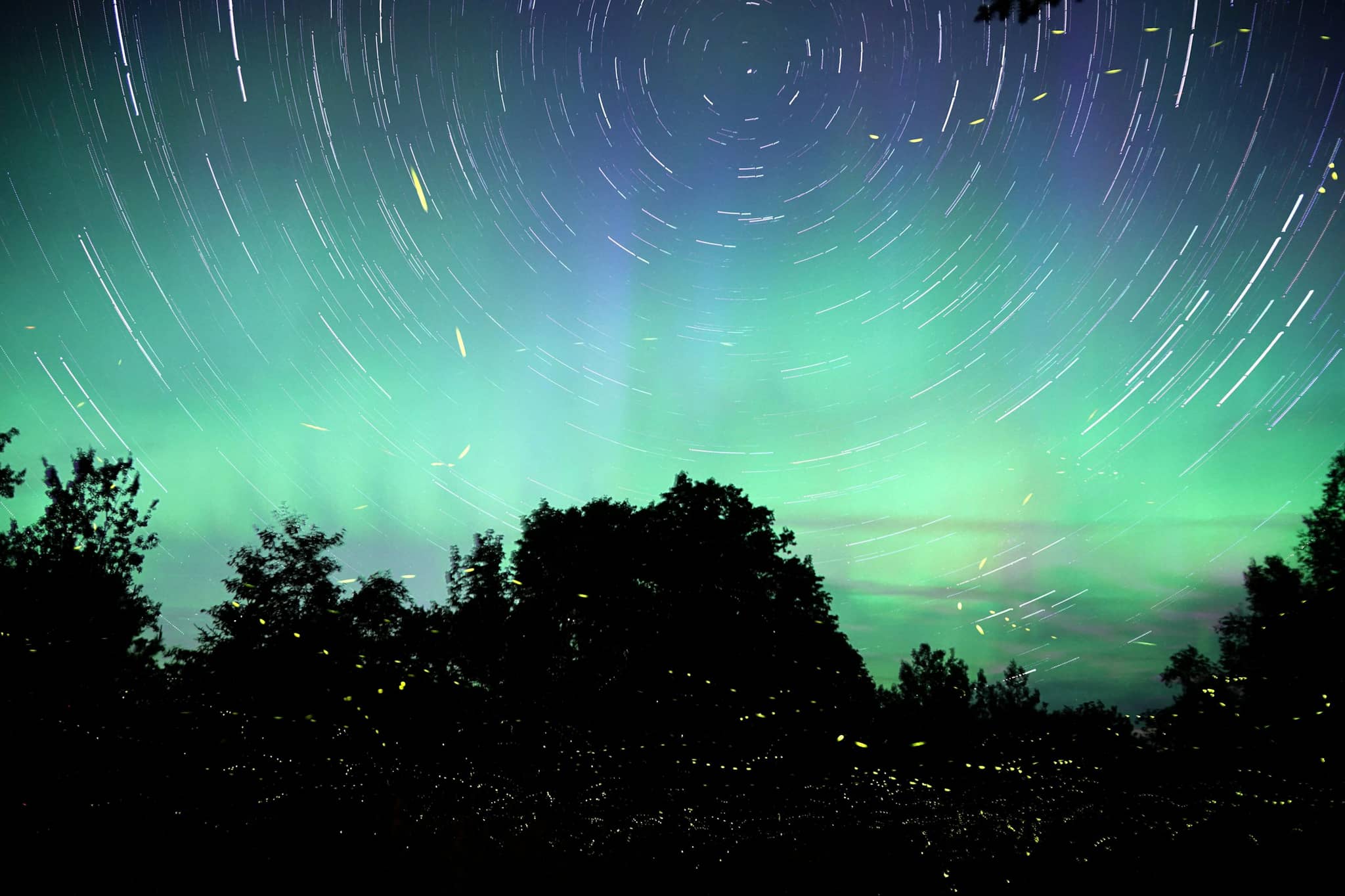
Northern lights forecast
The current planetary K index and a three-day outlook, translated into which parts of Maine could actually see anything.
 Seasonal
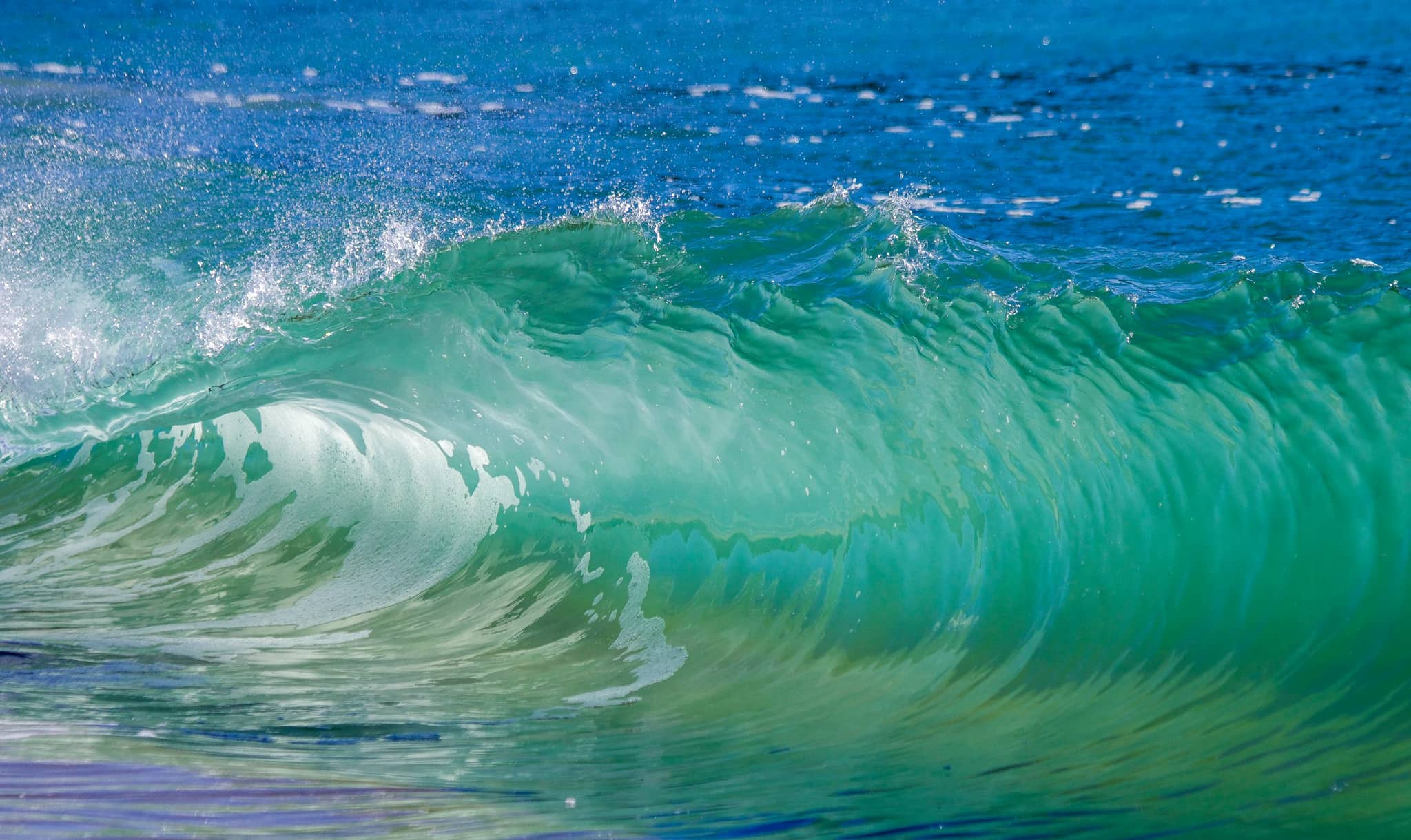
Ocean water temperature
Live sea temperatures along the coast, and whether the water is actually warm enough to get into today.
 Planning
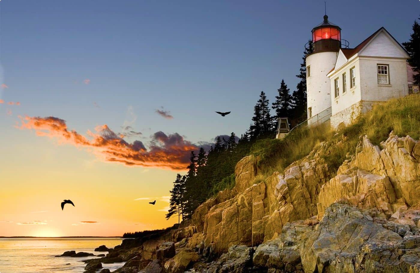
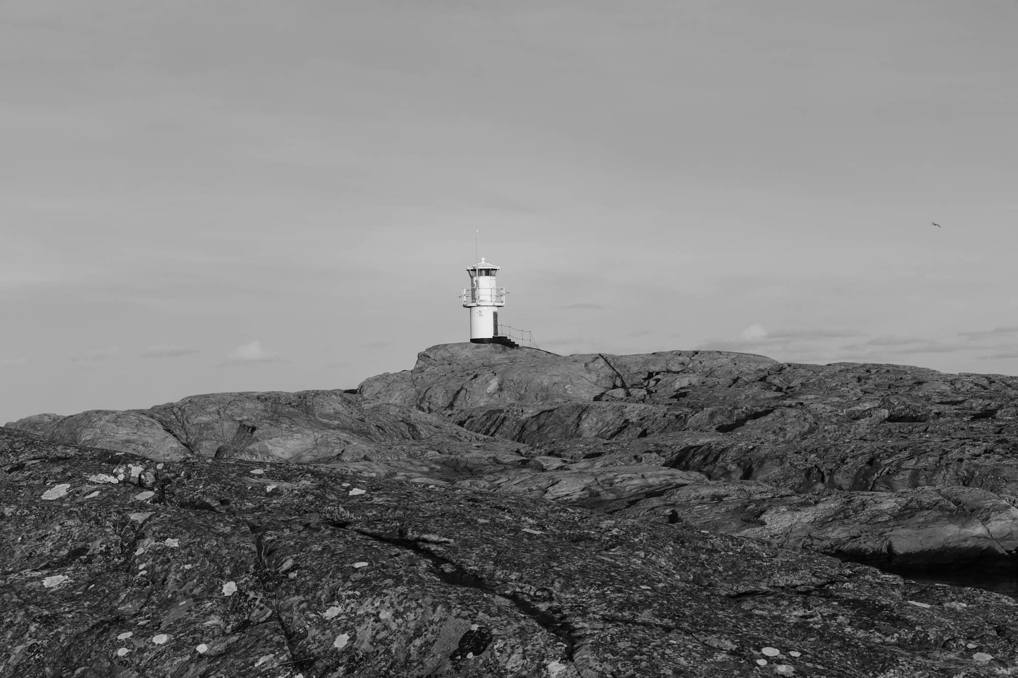
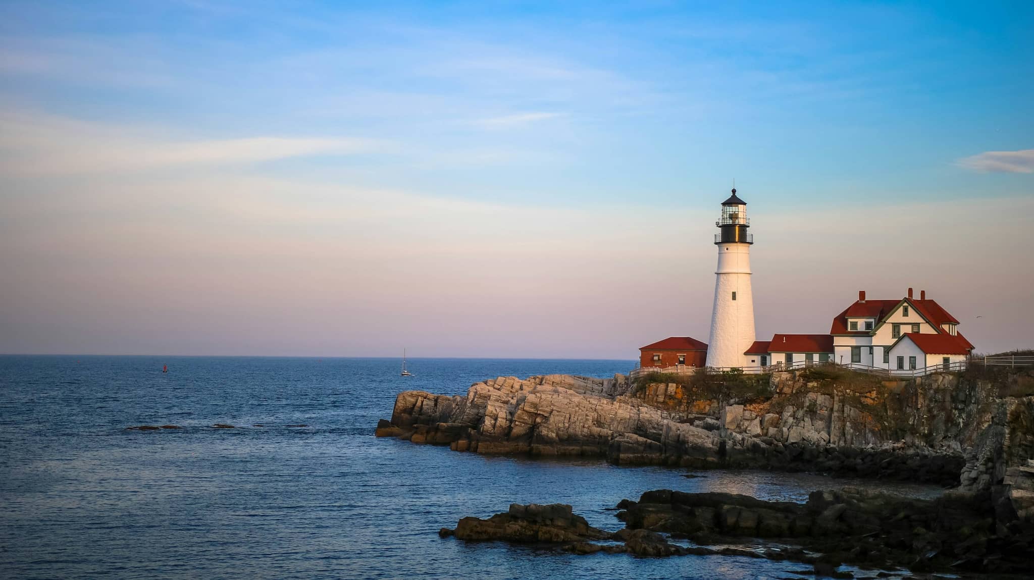
Lighthouses ranked by visitors
All 40 visitable Maine lighthouses ordered by review volume, with the parking lots and viewpoint parks separated out.
 Food & Drink
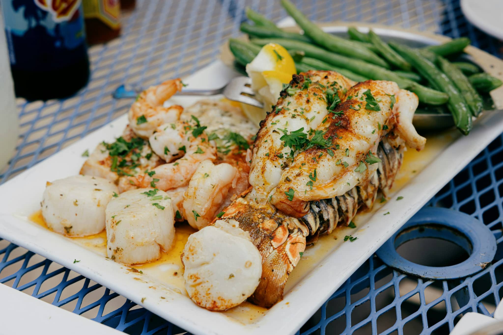
Where you can eat at 8pm
Maine kitchens close earlier than visitors expect. The share still serving at eight, open Sunday and open Monday, town by town.
 Food & Drink
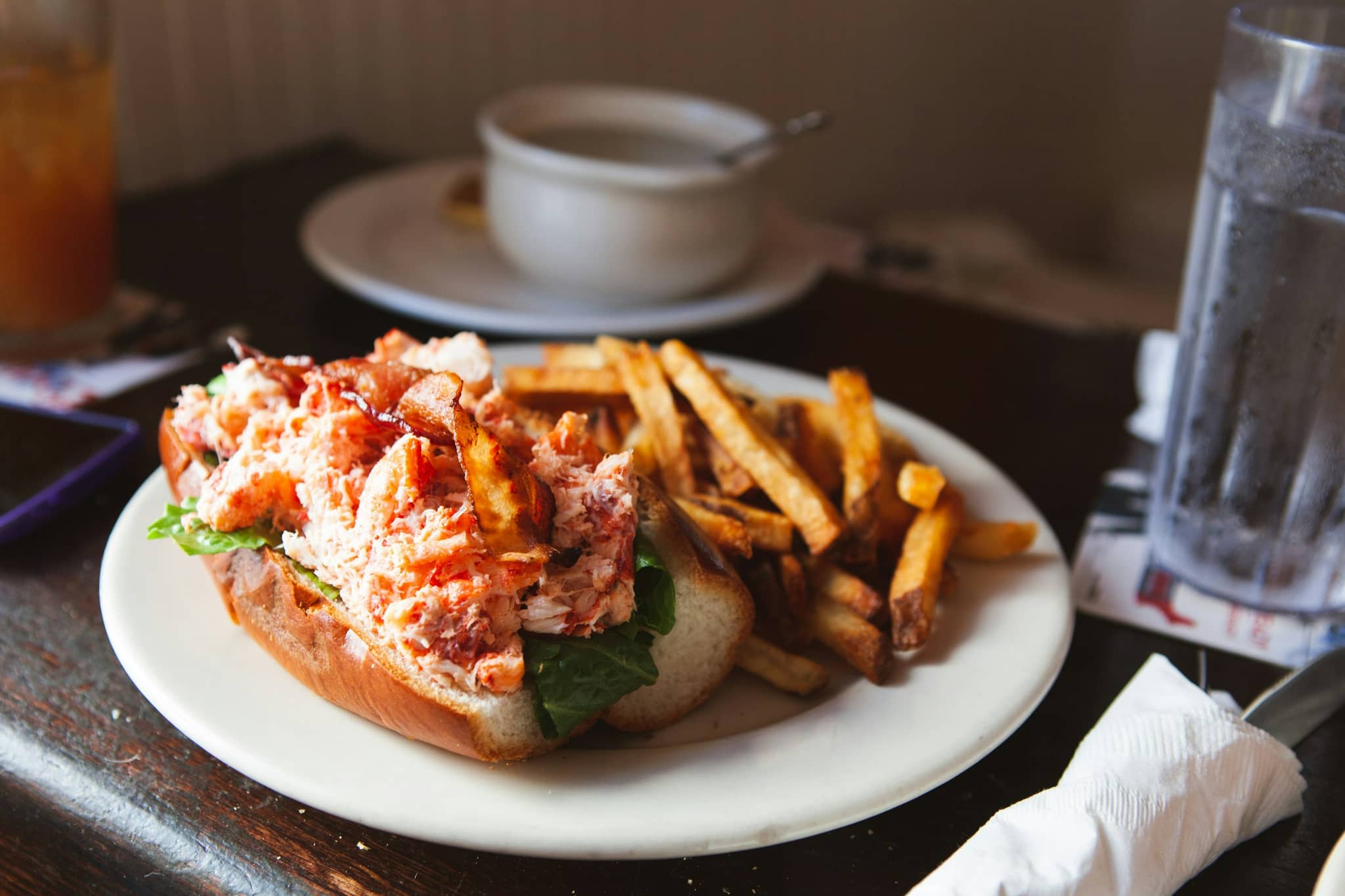
Lobster roll price index
What a lobster roll actually costs this season, recorded with the portion, the style and the tax treatment attached.
 Planning
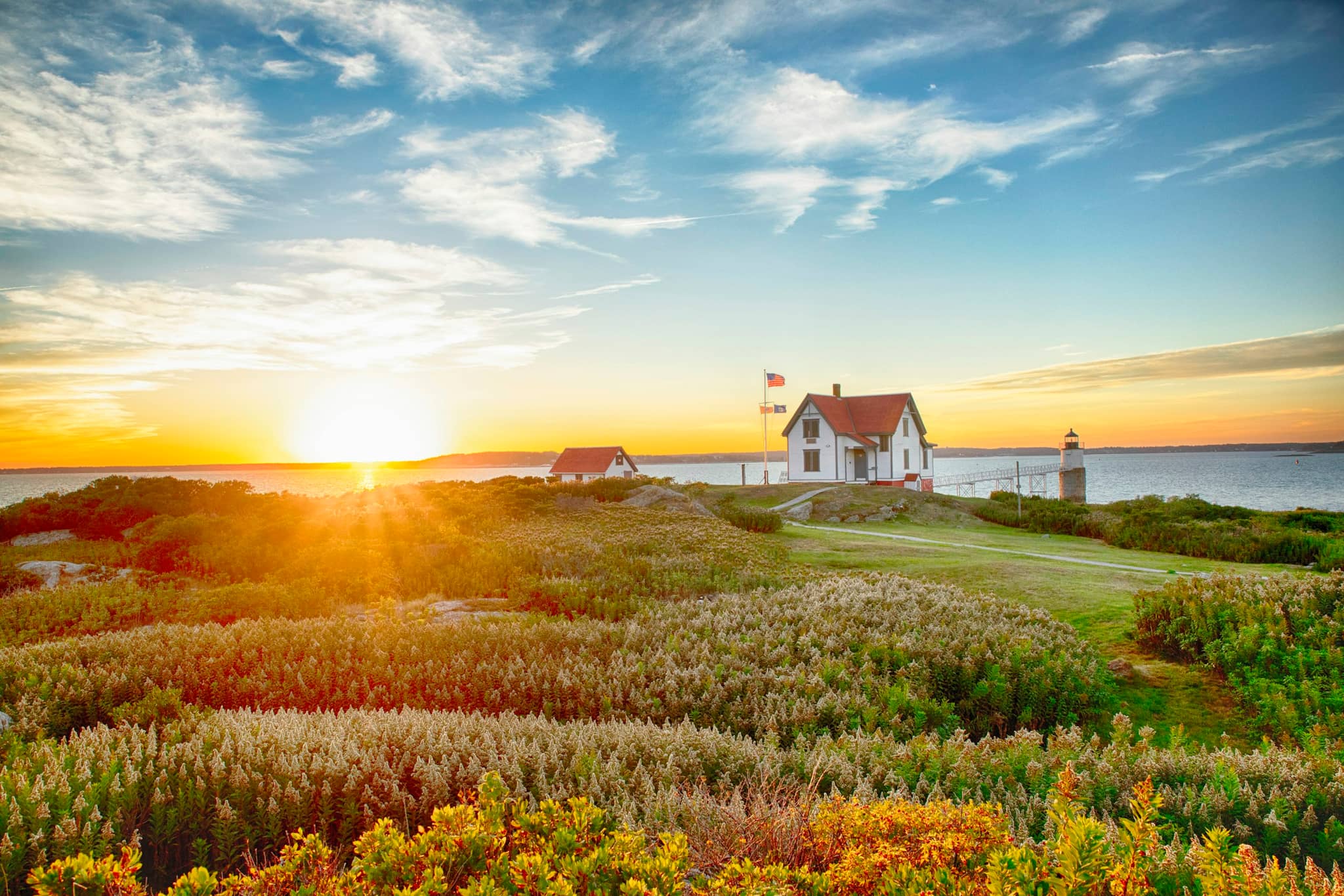
Trip planner by interest
Eight ready-made Maine routes, one per interest, each with real stops, nights, computed distances and the season it works in.
 Seasonal
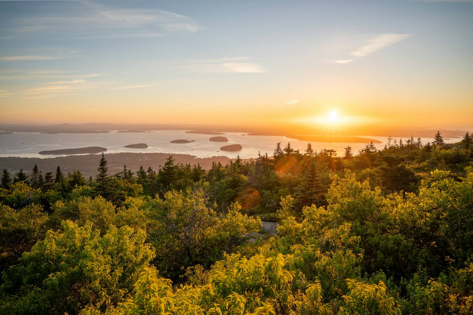
Best time to visit Acadia
Month by month for Acadia: measured sea temperature, computed daylight, the fly season and the foliage window on one axis.
 Seasonal
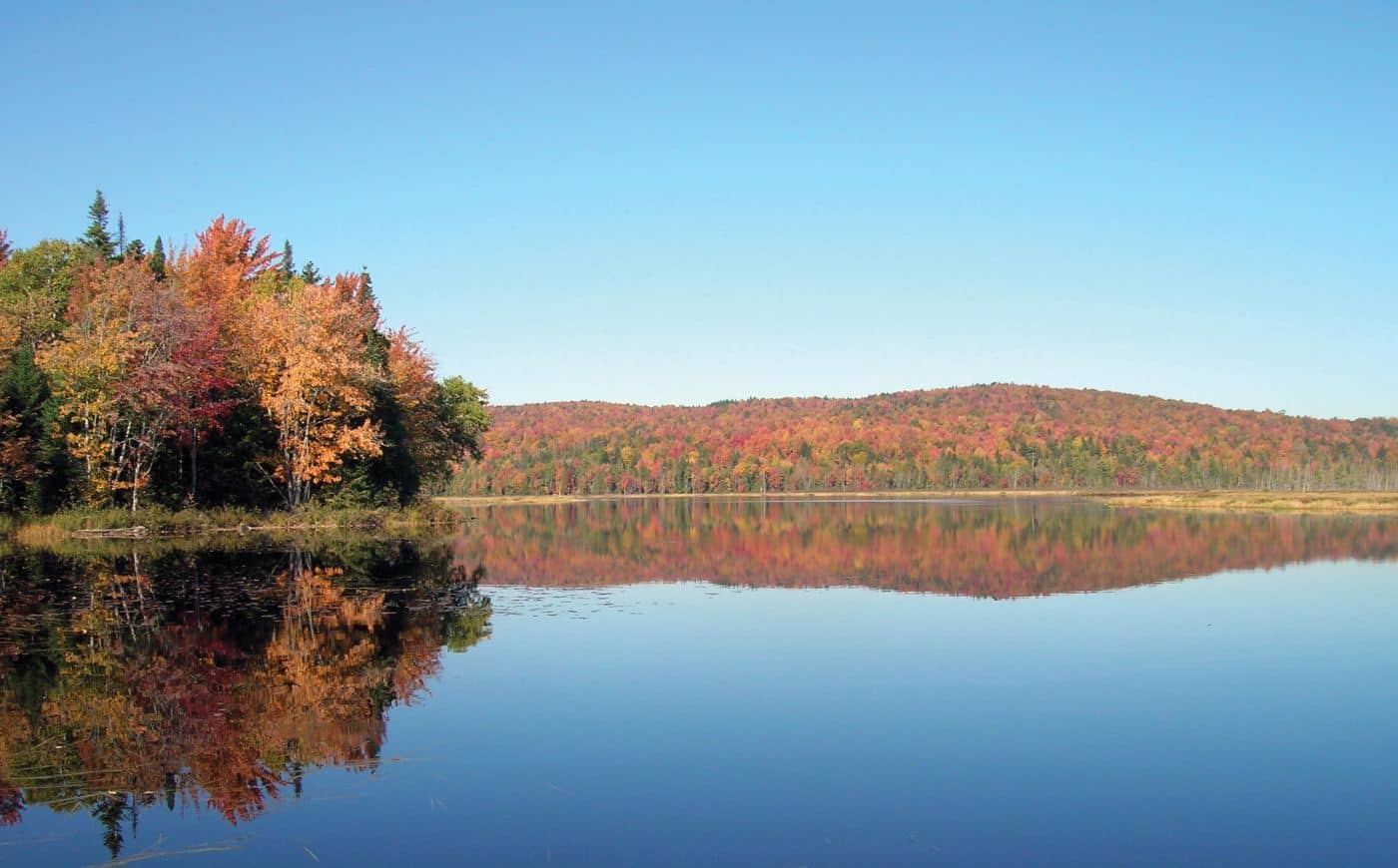
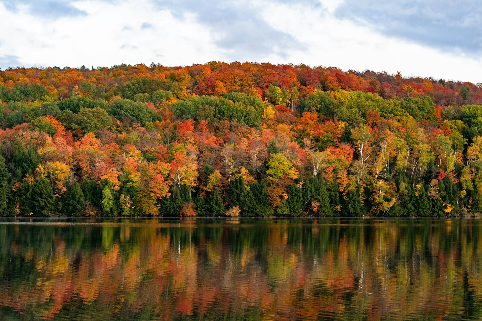
Fall foliage timing
Typical peak color for every part of Maine, north to south, with field reports shown separately as they are verified.
 Seasonal
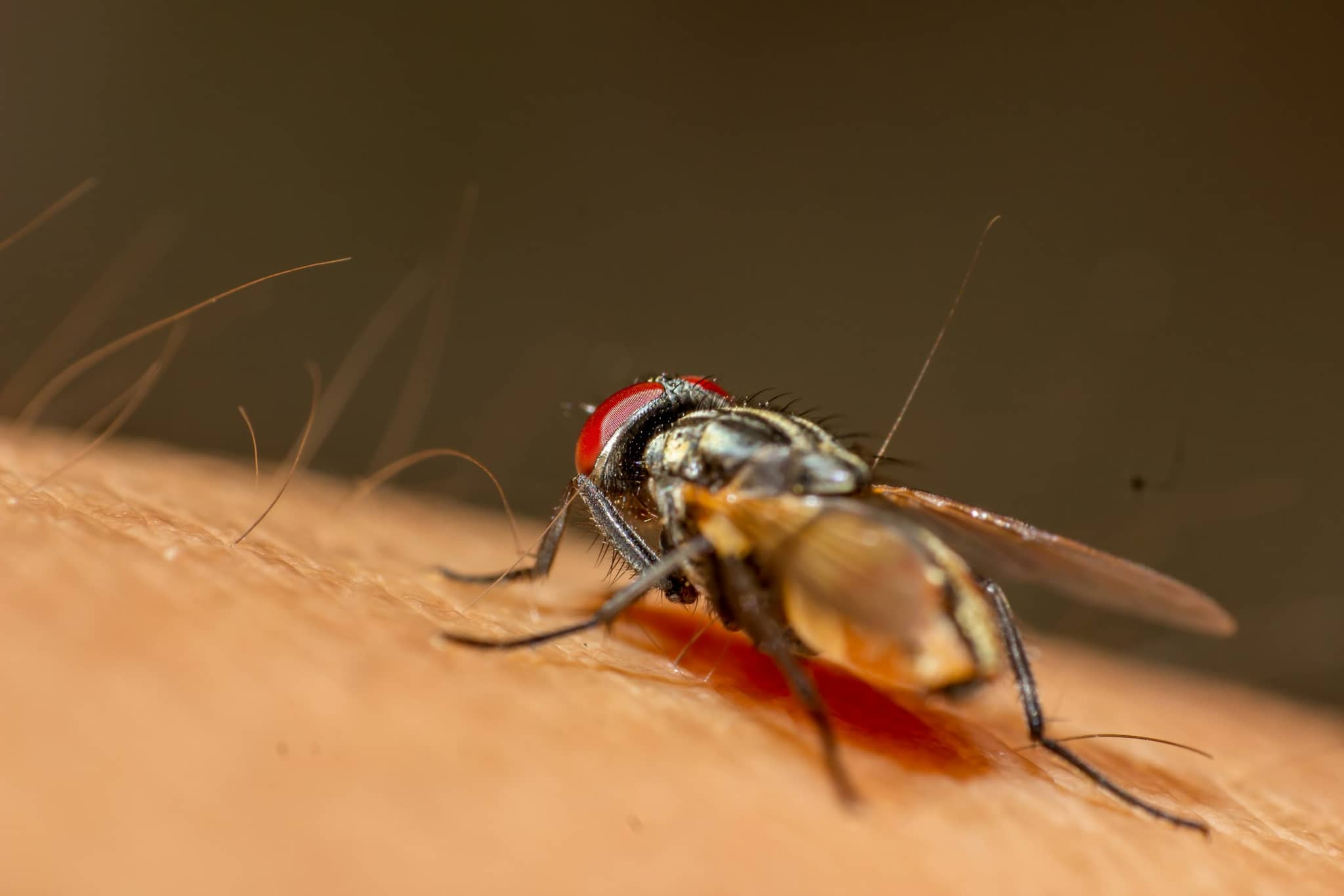
Black fly season
When the flies are worst in each region, and where on the coast you can go to escape them.
 Planning
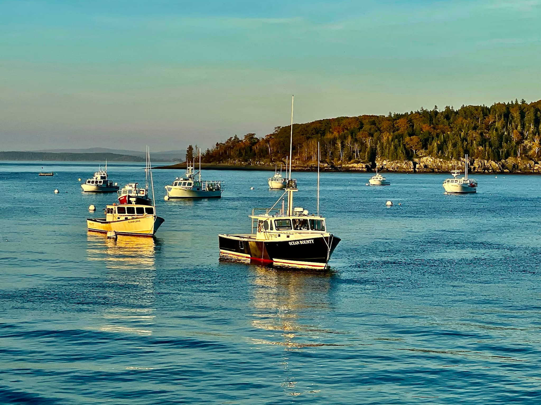
Island ferries and day trips
Ten islands with scheduled service, how long the crossing is, whether cars are carried, and which ones work in a day.