1
Belfast
See main listingAn artsy midcoast comeback - working waterfront, the Belfast & Moosehead rail trail, and one of Maine's walkable downtowns.
Details

Guide
Moose Point State Park is a small day-use park on Route 1 between Belfast and Searsport, where a mown field runs downhill through a spruce grove to the ledge shore of Penobscot Bay. It holds a 4.7 rating from 559 Google reviews, which is high for a park whose entire program is picnic tables, a playground and a mile of shoreline path. There are no moose.
Moose Point is day use only: no camping, no campsites, no overnight anything. It occupies a headland at 310 West Main Street in Searsport, which is Route 1, about three miles northeast of downtown Belfast and two miles short of Searsport village. You pull in off the highway, pay at the gate, and you are on the water within ninety seconds of leaving the road.
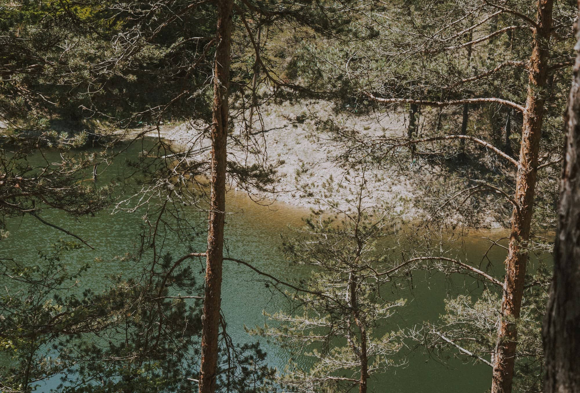
What is there: an open field sloping to the bay, a stand of tall spruce with picnic tables under it, grills, a playground, restrooms, and short walking paths along the shore and through the woods. What is not there: a sand beach, a boat ramp, a campground, or a trail longer than a stroll.
The right way to think about it is as a stop rather than a destination. Two hours here breaks up the Route 1 drive better than any rest area in the state.
Moose Point is run by the Bureau of Parks and Lands, the division of Maine's Department of Agriculture, Conservation and Forestry that manages the state park system. That means the standard structure: a seasonal operating window, a day-use fee at the gate with a lower rate for Maine residents, and self-service payment when the gatehouse is unstaffed. Current fees are posted on maine.gov.
The shoreline is ledge and cobble, not sand. At low tide you can walk out across seaweed-covered rock and tidepool; at high tide the water comes up to the grass. Swimming is legal but rare. The bottom is rock and Penobscot Bay stays cold well into July.
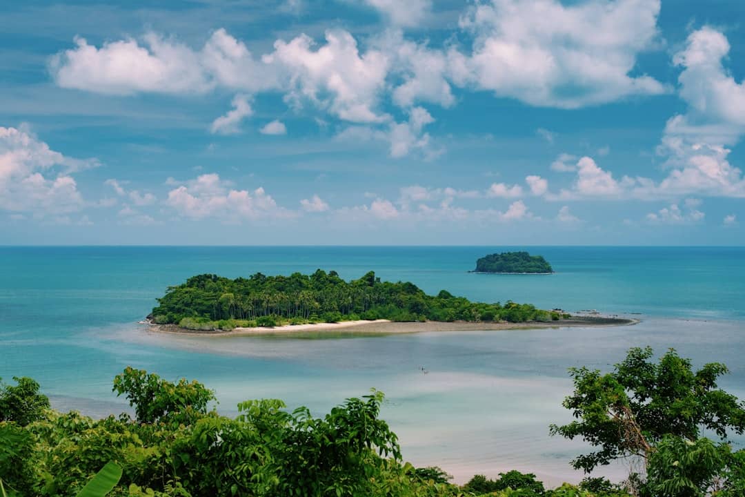
The view is the point. You are looking southeast across the bay at Islesboro, with the Camden Hills off to the south and, on a clear day, the ridgeline running away toward Blue Hill. Ferries, lobster boats and the occasional freighter bound for the cargo terminal at Mack Point cross in front of you.
The honest drawback: Route 1 is right there. You can hear it from the picnic grove, and on a summer Saturday the traffic noise never entirely drops out. Visitors expecting a secluded cove are briefly disappointed. At the water's edge the bay mostly wins, but never completely.
The stretch of coast you are looking at was, for about fifty years, one of the most concentrated producers of deep-water sailing masters in the world.
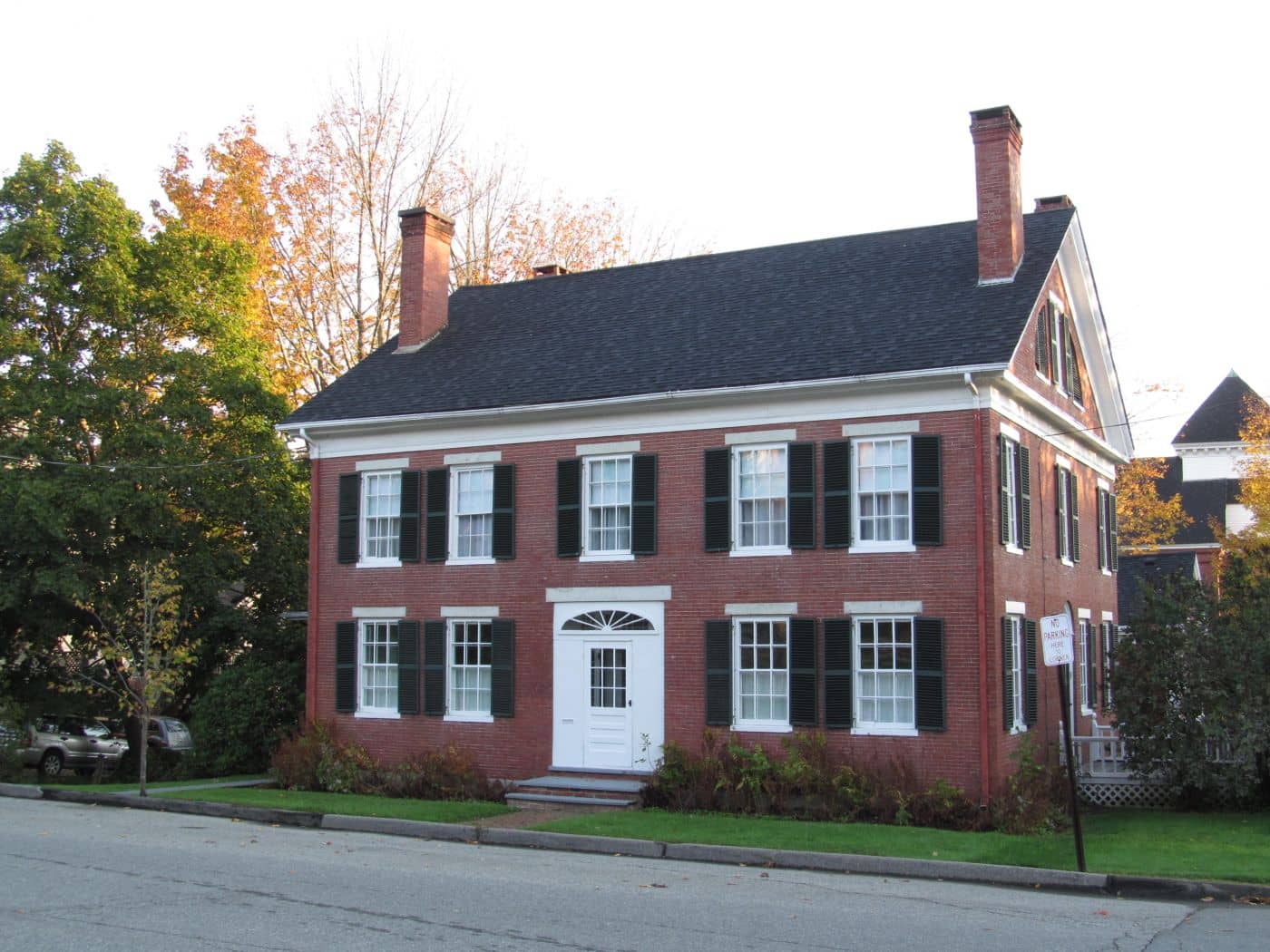
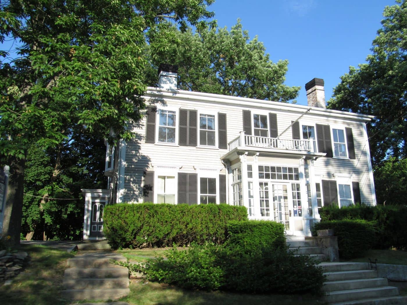
Searsport in the late nineteenth century was a shipbuilding town that also supplied officers. Local yards launched full-rigged ships, and local families sent generation after generation to sea in them, by the count repeated most often, close to one in ten American deepwater shipmasters in the 1870s and 1880s came from this single town of a few thousand people. Captains' wives and children sailed with them. Children were born rounding Cape Horn. The run of large white houses along Searsport's Main Street was built with that money, and several of them now hold the Penobscot Marine Museum, the oldest maritime museum in Maine.
That trade ended when steel and steam replaced wooden hulls, and the deepwater fleet went with it. What did not end was the harbor. Searsport has the deep, sheltered water that made it a shipping town, and it still functions as one: Mack Point, just up the shore, is Maine's second cargo port, handling bulk freight rather than containers.
Between the park and the port sits Sears Island: roughly 940 acres reached by a causeway, and one of the largest undeveloped islands on the eastern seaboard you can walk onto without a boat. It has been proposed as the site of a nuclear plant, a container terminal and an LNG facility, each proposal producing a decade of argument. The eventual settlement split it: most of the island under a conservation easement, a portion held in reserve for possible port use. Walk its gravel roads and you are walking a compromise that took forty years to reach.
That tension is the real subject of this shoreline. A working cargo port, a conserved island, and a picnic ground, all within sight of each other.
For the wider region see our Midcoast Maine guide, and for the system as a whole, Maine state parks.
No. Moose Point is day use only. Picnicking, walking and shoreline access. The nearest state park camping is at Swan Lake to the northwest and Camden Hills to the south, both bookable through Maine's central reservation system.
Not a sand one. The shoreline is ledge, cobble and seaweed, good for tidepooling at low water and poor for swimming or sunbathing. If you want sand within a short drive, Sandy Point Beach in Stockton Springs or Lincolnville Beach to the south are the better calls.
An hour to walk the shore path and take in the bay; two hours if you are eating a meal at a picnic table. It is not built to hold a full day, and it does not pretend to be.
No. The name comes from the headland, not the animal, and a moose on this stretch of Route 1 would be a genuine local event. For actual moose you want the north woods around Greenville and Rangeley, several hours inland.
An artsy midcoast comeback - working waterfront, the Belfast & Moosehead rail trail, and one of Maine's walkable downtowns.
Guides
Destinations

Downeast & Acadia
Gateway to Acadia National Park - Cadillac Mountain, puffin cruises, and a harbor town that fills with cruise ships from May to October.
Southern Maine Coast
Dock Square boutiques, Goose Rocks Beach, and the Bush family's Walker's Point - the quintessential coastal Maine summer town.
Greater Portland
Maine's largest city - a working waterfront, Old Port cobblestones, and a food scene that punches well above its weight.
Midcoast Islands
Shipbuilding heart of Maine since 1743 - Bath Iron Works still launches destroyers past the Maine Maritime Museum on the Kennebec.
Midcoast Islands
A Midcoast harbor town built around boat trips, with the Coastal Maine Botanical Gardens just up the road.
Midcoast Islands
Where the mountains meet the sea - windjammer harbor, Mount Battie summit views, and an independent village with real soul.
Greater Portland
Flagship home of L.L. Bean, open 24/7 - outlets, a tidal river, and surprisingly good eating between the shopping.
Southern Maine Coast
Postcard-perfect village of sea captains' mansions, Lower Village shops, and easy walks to Mother's Beach and Gooch's Beach.