
1
Bucksport
See main listingThe Penobscot Narrows Observatory tower, the Fort Knox granite fortress, and the gateway drive to Acadia from the north.
Details

Guide
Fort Knox, Maine is not the one with the gold. It is a granite coastal fortress above the Penobscot River in Prospect, the largest historic fort in the state, and it shares a hillside with an elevator that lifts you 420 feet up a bridge tower. Visitors rate the combined site 4.8 out of 5 across more than 3,200 reviews. Two hours here is a genuinely good two hours.
Compiled from published reviews, official sites and our own research; assessed remotely without firsthand experience.
Fort Knox State Historic Site is at 740 Ft Knox Rd in Prospect, on the west bank of the Penobscot directly across the water from Bucksport. Two attractions share the site. The first is the fort: a Third System coastal fortification begun in 1844, built entirely of granite, and open to walk through almost end to end. The second is the Penobscot Narrows Observatory, a glassed-in room 420 feet up the western tower of the bridge next door: the tallest public bridge observatory in the world, and one of only four anywhere.
Give it two hours to do both without rushing, and bring a flashlight. A good chunk of the fort is genuinely dark.
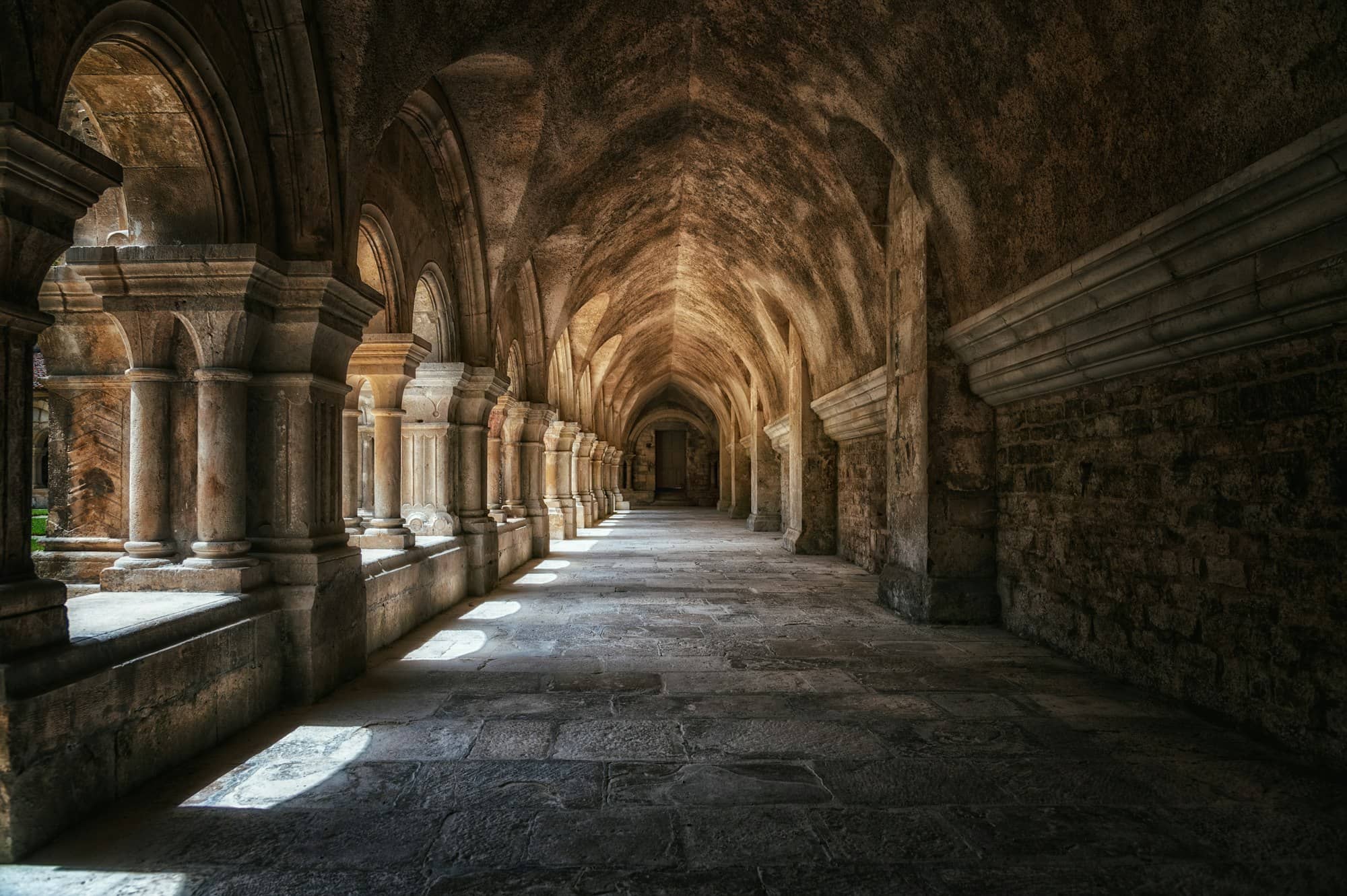
Most historic forts are a lawn, a plaque, and a rope keeping you out of the interesting parts. Fort Knox is the opposite. You walk into the casemates (the vaulted granite rooms that held the guns) and follow them around the perimeter. You climb the granite spiral staircases, the best-built thing on the property and still improbably precise. You walk the long unlit corridors between the batteries, which is where the flashlight earns its place: they run a long way with no windows, and there are steps in them.
Two open water batteries sit below the fort, angled down at the river channel, each with a shot furnace for heating cannonballs red-hot before firing them into wooden ships. Several Rodman cannons remain on site in a range of bores, along with flank howitzers on period carriages. The fort was built to mount 64 guns and never came close.
The drawback: interpretation inside the fort is thin. Panels are sparse and the visitor center is small, so read the history section below first. The granite will not explain itself.
The Penobscot Narrows Bridge opened in 2006, replacing the 1931 Waldo-Hancock Bridge beside it. It is a cable-stayed span roughly 2,120 feet long and one of only a handful in the United States using a cradle system for its stays, which lets individual strands be inspected or replaced without dismantling a cable. The observatory opened the following year.
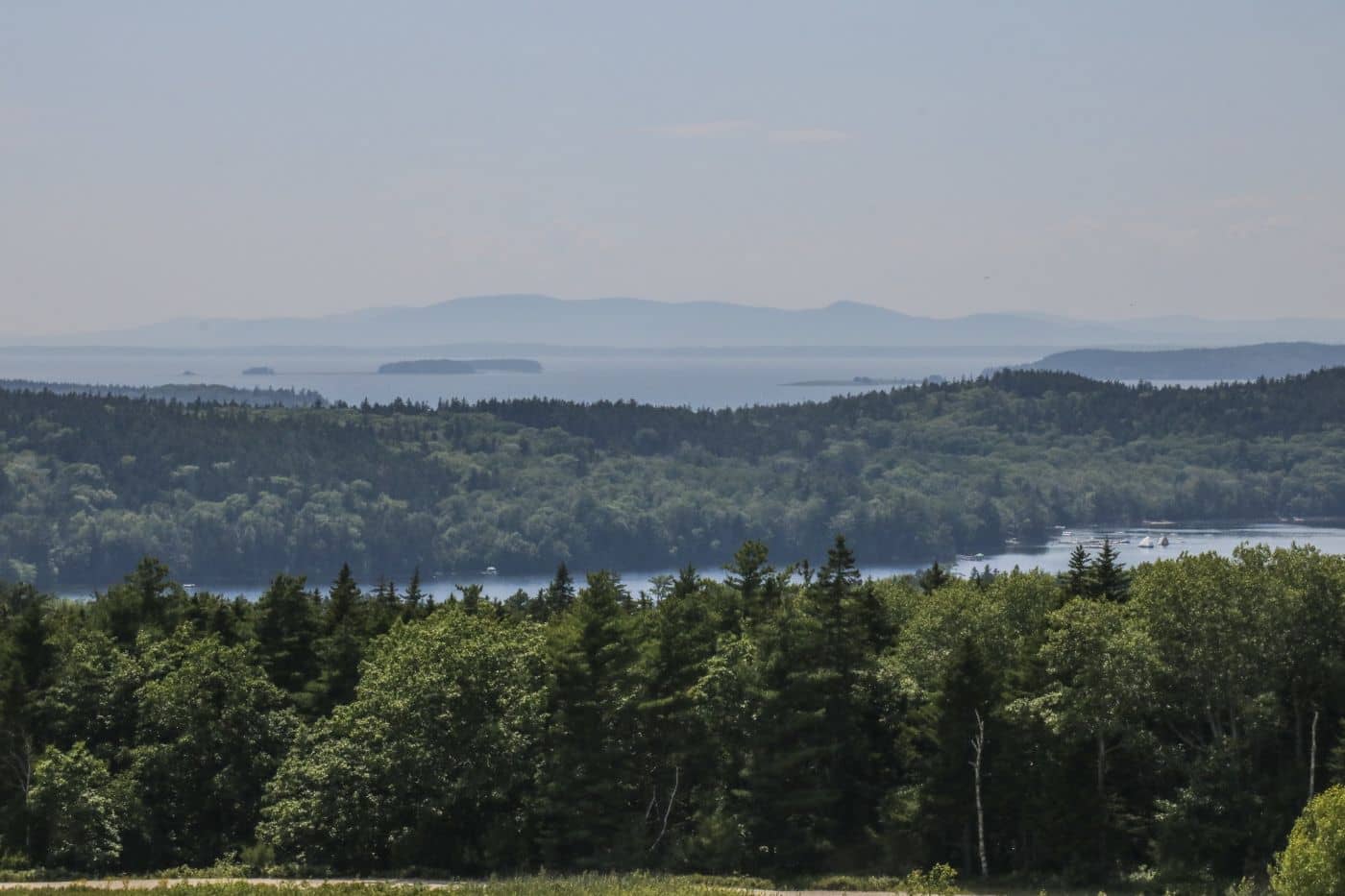
An elevator takes you most of the way; a short flight of stairs finishes the climb. At 420 feet it is the tallest occupied public structure in Maine, and the view does what a hilltop cannot. It flattens the whole river system below you. Upriver the Penobscot runs toward Bangor; downriver the bay opens past Fort Point toward Islesboro. Directly below, the fort reads as a diagram of itself, the fastest way to understand a plan you just walked at ground level.
Two caveats. The observatory closes in high wind, and a flat gray day up there is not worth the climb. And the room is small, on a busy August afternoon you will be sharing the glass.
The Penobscot is the reason. It is a deep, navigable river reaching far inland, and in the 19th century it carried the lumber trade that made Bangor one of the busiest timber ports in the world. Whoever held the narrows held the valley, and twice, that had not been the Americans. A 1779 expedition to dislodge the British from the Penobscot ended in one of the worst American naval defeats of the Revolution, and in the War of 1812 the British took the lower river again.
The immediate trigger was newer: the Aroostook War of 1838-39, a bloodless but tense standoff over the disputed Maine-New Brunswick boundary, left Washington uneasy about how exposed eastern Maine was. Fort Knox was the answer, part of the Third System chain of masonry coastal forts raised along the Atlantic and Gulf coasts after 1812.
Construction began in 1844 to a design by Colonel Joseph G. Totten, the Army's leading fortification engineer. The granite came from Mount Waldo in Frankfort, about five miles upriver, where you can still hike the old quarry trail. It was named for Major General Henry Knox, Revolutionary artillery commander and first U.S. Secretary of War, who spent his later years down the coast in Thomaston.
Work dragged until 1869, when Congress stopped funding masonry forts altogether. Rifled artillery had made thick stone walls obsolete almost overnight, and the fort was never finished as drawn. Maine volunteers trained here during the Civil War and a Connecticut regiment garrisoned it during the Spanish-American War, but Fort Knox never fired a shot in anger. The state bought it in 1923, and the Friends of Fort Knox have run daily operations since 2012. That non-history is the point: the fort worked exactly as a deterrent should, by being large enough that nobody tested it.
Belfast is half an hour southwest and makes the obvious lunch pairing, with Moose Point State Park on the way. The stop slots into a Midcoast itinerary, and the span is a standout among Maine's historic bridges. Castine, across the bay, is where the British actually landed.
No. The gold depository is Fort Knox, Kentucky. Both are named for the same man, Major General Henry Knox, the first U.S. Secretary of War, who lived in Thomaston, Maine, which is why the Maine fort carries the name.
Two hours covers both comfortably: about an hour for the casemates, batteries and staircases, half that for the elevator and observation room, and the rest for the grounds. History-minded visitors with a flashlight routinely spend three.
Yes, or at least a phone with a working light. Several connecting passages and lower rooms have no lighting at all, and there are unmarked steps inside them. It is the most useful thing to bring and the most commonly forgotten.
No. It runs a seasonal schedule alongside Fort Knox and closes for the winter, and it can shut temporarily in high wind. Check current season dates on the Maine Department of Transportation's observatory page before driving out.
The Penobscot Narrows Observatory tower, the Fort Knox granite fortress, and the gateway drive to Acadia from the north.
An artsy midcoast comeback - working waterfront, the Belfast & Moosehead rail trail, and one of Maine's walkable downtowns.
Guides
Destinations

Downeast & Acadia
Gateway to Acadia National Park - Cadillac Mountain, puffin cruises, and a harbor town that fills with cruise ships from May to October.
Southern Maine Coast
Dock Square boutiques, Goose Rocks Beach, and the Bush family's Walker's Point - the quintessential coastal Maine summer town.
Greater Portland
Maine's largest city - a working waterfront, Old Port cobblestones, and a food scene that punches well above its weight.
Midcoast Islands
Shipbuilding heart of Maine since 1743 - Bath Iron Works still launches destroyers past the Maine Maritime Museum on the Kennebec.
Midcoast Islands
A Midcoast harbor town built around boat trips, with the Coastal Maine Botanical Gardens just up the road.
Midcoast Islands
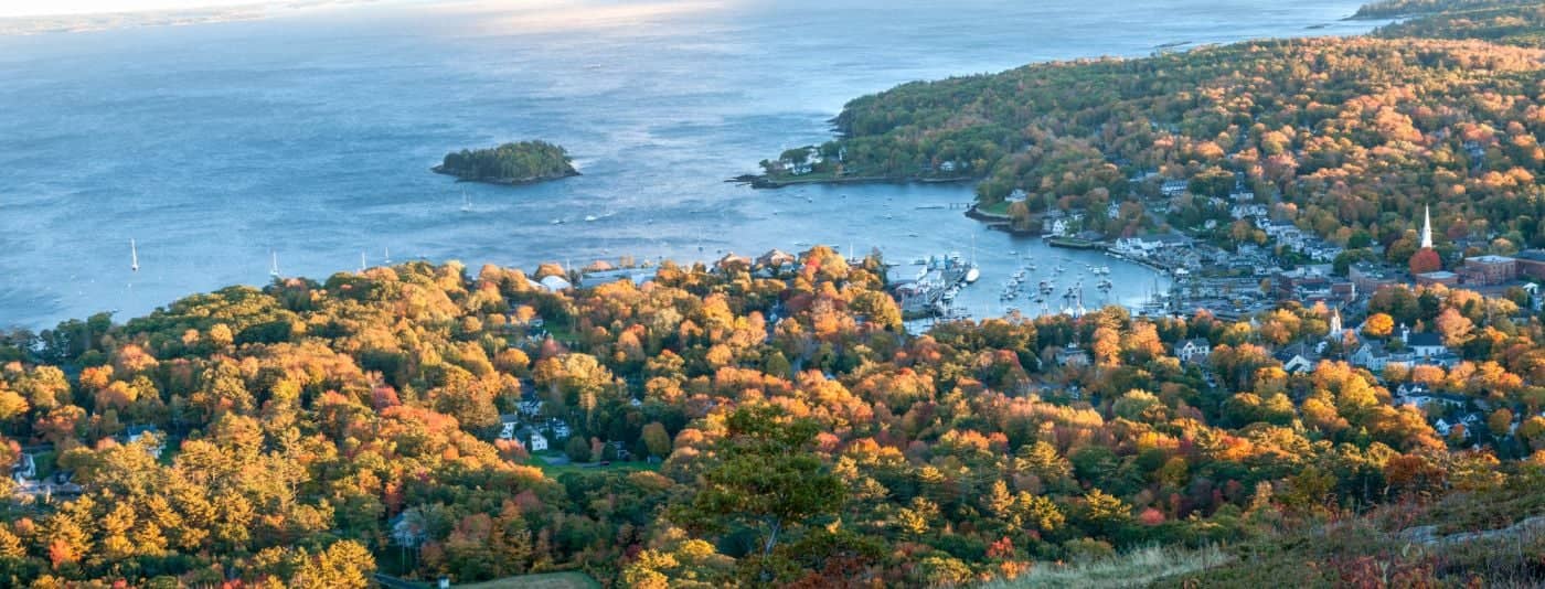
Where the mountains meet the sea - windjammer harbor, Mount Battie summit views, and an independent village with real soul.
Greater Portland
Flagship home of L.L. Bean, open 24/7 - outlets, a tidal river, and surprisingly good eating between the shopping.
Southern Maine Coast
Postcard-perfect village of sea captains' mansions, Lower Village shops, and easy walks to Mother's Beach and Gooch's Beach.