1
York
See main listingFour distinct villages (York Village, York Harbor, York Beach and Cape Neddick) covering colonial history and a classic beach town.
Details

Guide
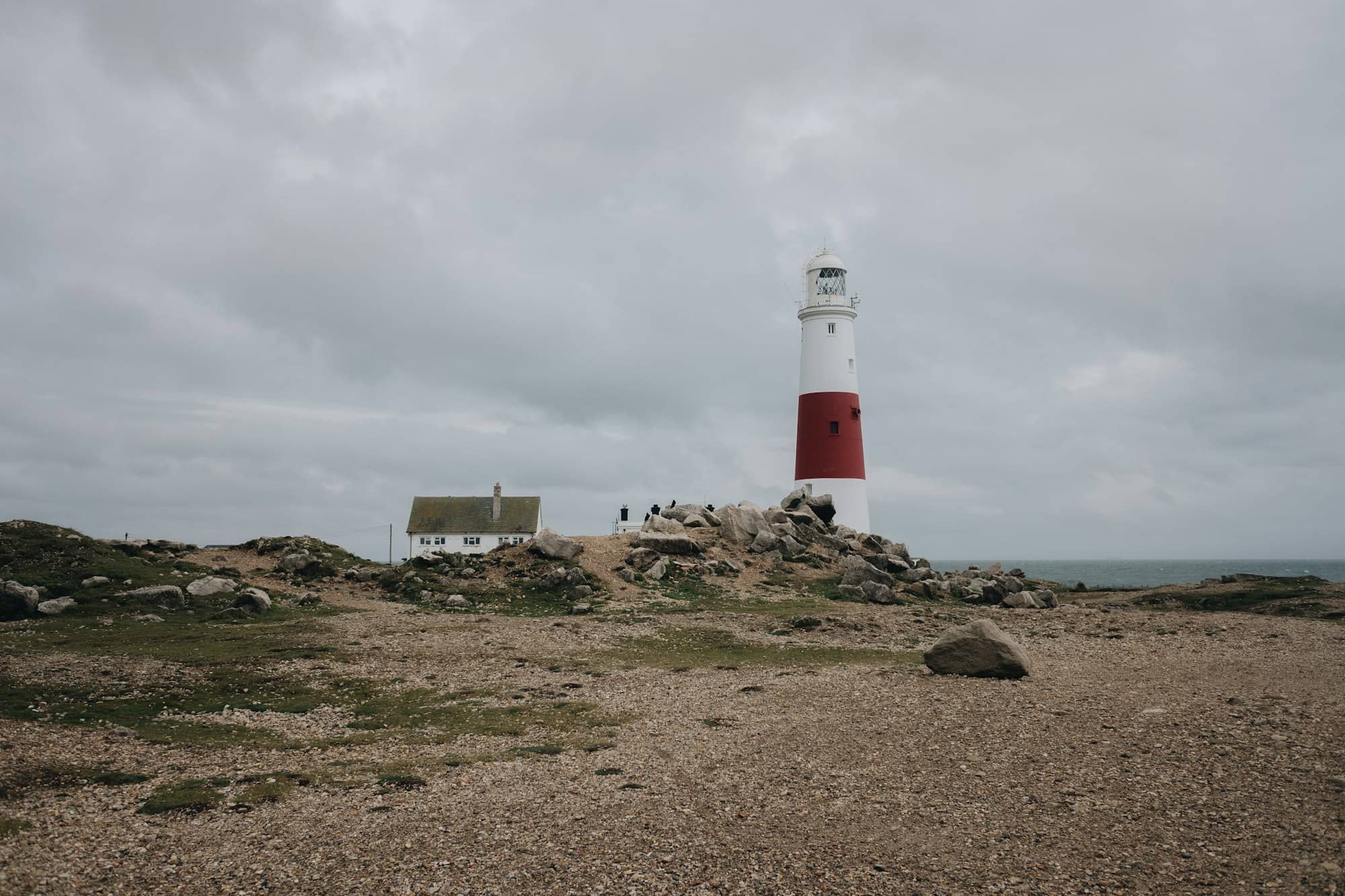
Boon Island Lighthouse is the tallest lighthouse in Maine and in all of New England. 133 feet of gray granite standing on a bare rock roughly six miles off York. It is privately owned, closed to the public, and has no dwellings left on it. You will not set foot there. What you can do is find it from shore on a clear day, get out to it on a boat, and read one of the darkest survival stories in American maritime history.
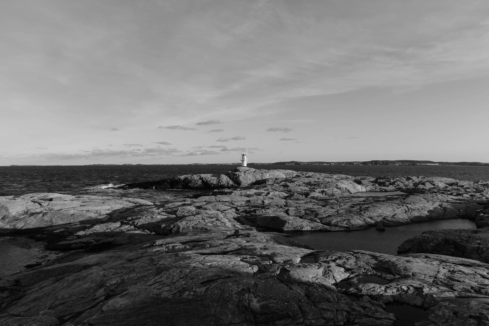
Boon Island is not really an island. It is a ledge: roughly 300 feet by 700 feet of bare rock, low enough that a heavy sea washes across it, with no soil, no trees and no shelter of any kind. Nothing grows there. Keepers who served on it described it as the loneliest station on the coast, and the record backs them up.
That is why the tower is so tall. On a low, flat rock six miles offshore, height is the only way to push a light far enough out to be useful. The 133-foot granite tower standing today was completed in 1855. It replaced earlier structures that the sea kept destroying, including a granite tower washed away in an 1832 storm.
In December 1710 the English merchant ship Nottingham Galley ran onto Boon Island in the dark. The crew got ashore. There was no wood to burn, no fresh water and no food, the mainland was in sight but unreachable, and it was winter. They survived weeks on the rock. Before rescue came, the survivors ate the body of the ship's carpenter, who had died. The accounts the survivors published afterward contradict one another about almost everything except that.
The wreck became one of the best-known disaster stories of colonial New England and is the reason people talked about lighting the ledge for a century before anything permanent was built. Kennebunkport novelist Kenneth Roberts later built a novel around it. If Boon Island has a reputation for grimness rather than beauty, this is where it comes from.
The Blizzard of 1978 did to Boon Island what storms had been doing to it since the eighteenth century, only more so. The sea took the keepers' dwellings and outbuildings off the rock entirely and pulled stones out of the tower itself. The station never recovered as a staffed light. It was automated in 1980 and the rock has been bare of buildings since. The tower stands alone out there now, which is exactly how it looks from a boat.
Boon Island Light is not open to the public and there is no landing. The lighthouse was sold out of federal hands at auction in 2014 and has changed private ownership since; the Coast Guard still runs the light as an active aid to navigation. There is no tour, no ferry and no arrangement to get you ashore. It carries a 4.6 rating from 40 Google reviews, which is a small number for a light this significant. A direct measure of how few people ever get near it.
Three realistic options:
Whatever you choose, the crossing is exposed. Six miles of open Atlantic is a different proposition from a harbor tour, and a swell that is unnoticeable in York Harbor is not unnoticeable out there.
| Lighthouse | Tower height | Public access |
|---|---|---|
| Boon Island Light | 133 ft, tallest in New England | None; view by boat |
| Cape Neddick (Nubble) | 41 ft | View from Sohier Park only |
| Portland Head Light | Roughly 80 ft | Grounds and museum; tower closed |
| Pemaquid Point | Roughly 38 ft | Tower open seasonally to climb |
The pattern is worth noticing: the taller and more remote the light, the less of it you get to touch. Boon Island is the extreme case of a rule that runs the length of the coast, laid out in our Maine lighthouses guide.
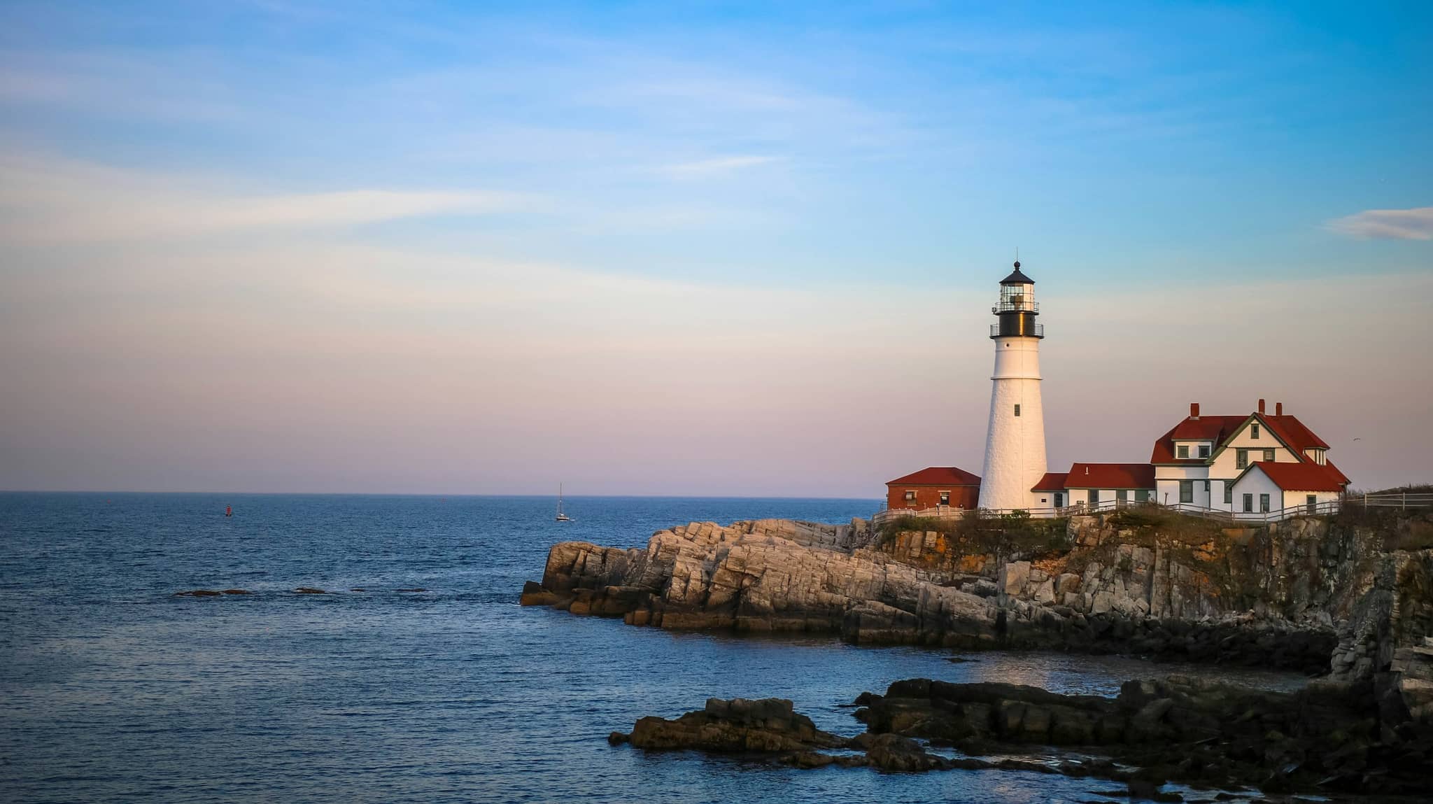
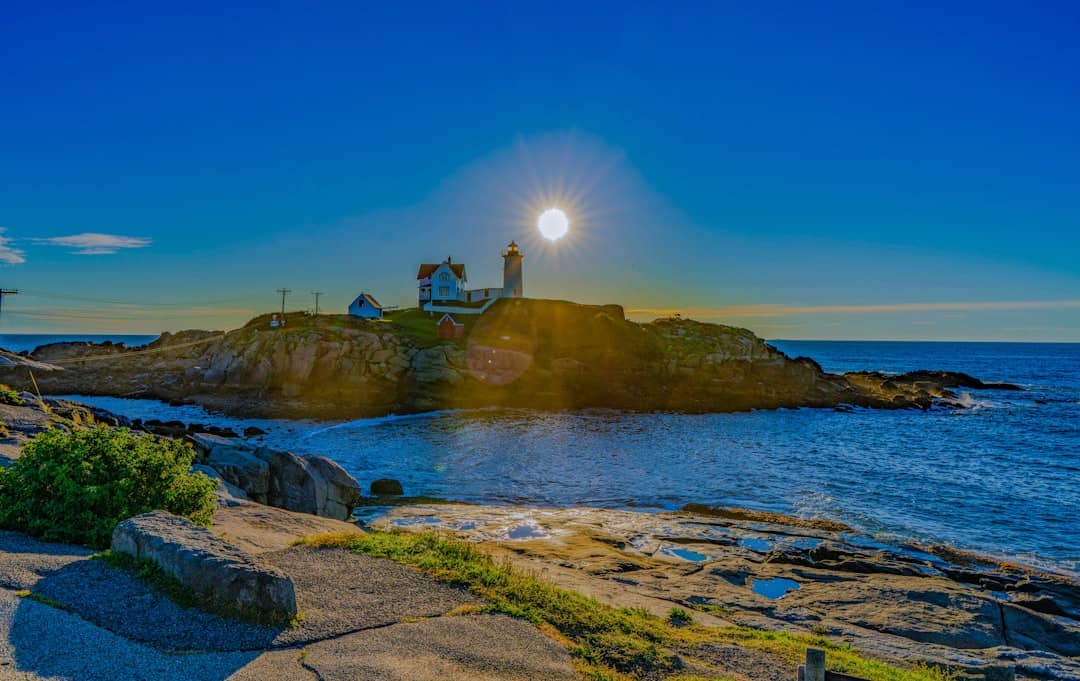
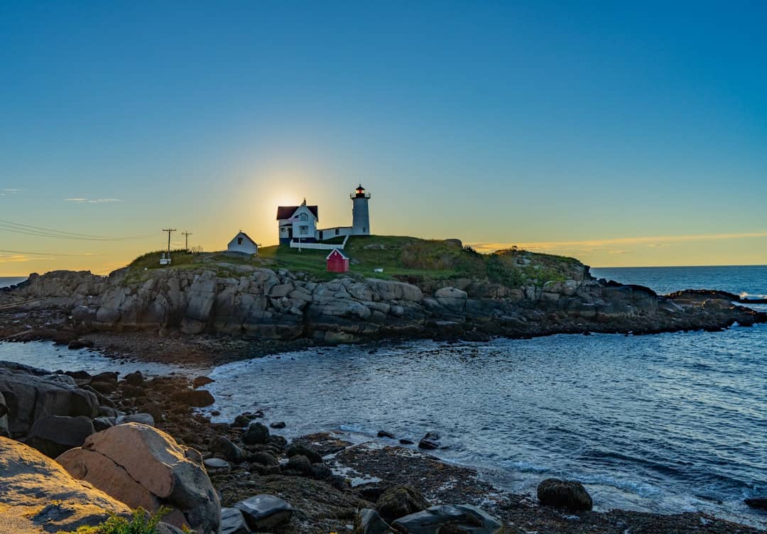
Since the realistic version of a Boon Island visit is looking east from land, build the day around York itself. The Nubble (4.9 from 631 reviews) is the obvious anchor. Same horizon, close enough to photograph, and the best place to attempt the spot. Fox's Lobster House (4.4 from 1,859 reviews) is right there at 8 Sohier Park Road. Short Sands Beach (4.6 from 1,343 reviews) has the arcade and the village behind it. Inland, Mount Agamenticus (4.8 from 897 reviews) gives you the whole coastline from above, which is the best land-based chance you will get at picking Boon Island out of the sea.
More in our things to do in York guide and the York beaches roundup. If you want lights you can actually walk up to, the Maine lighthouse tour is the better starting point.
No. Boon Island Light is privately owned, has no public landing and is closed to visitors. The Coast Guard still operates the light itself. The only ways to see the tower properly are from a boat or from the air; there is no tour that puts you ashore.
133 feet, which makes it the tallest lighthouse in Maine and the tallest in New England. The current granite tower dates from 1855, built high because the island it stands on is a low, bare ledge about six miles offshore with nothing to raise the light naturally.
Sometimes. On a very clear day it shows as a thin gray line on the horizon east of the Nubble, visible from Sohier Park, the outer end of Long Sands Beach, or from Mount Agamenticus inland. Haze, which is common in summer, hides it completely. Binoculars make the difference.
The merchant ship Nottingham Galley wrecked on the ledge in December 1710. The survivors reached the rock, which has no wood, water or shelter, and were stranded there for weeks in winter within sight of the mainland. Before rescue, they resorted to eating the body of the ship's carpenter. The story became one of the most notorious survival accounts in colonial New England.
Four distinct villages (York Village, York Harbor, York Beach and Cape Neddick) covering colonial history and a classic beach town.
Tools
Guides
Destinations

Downeast & Acadia
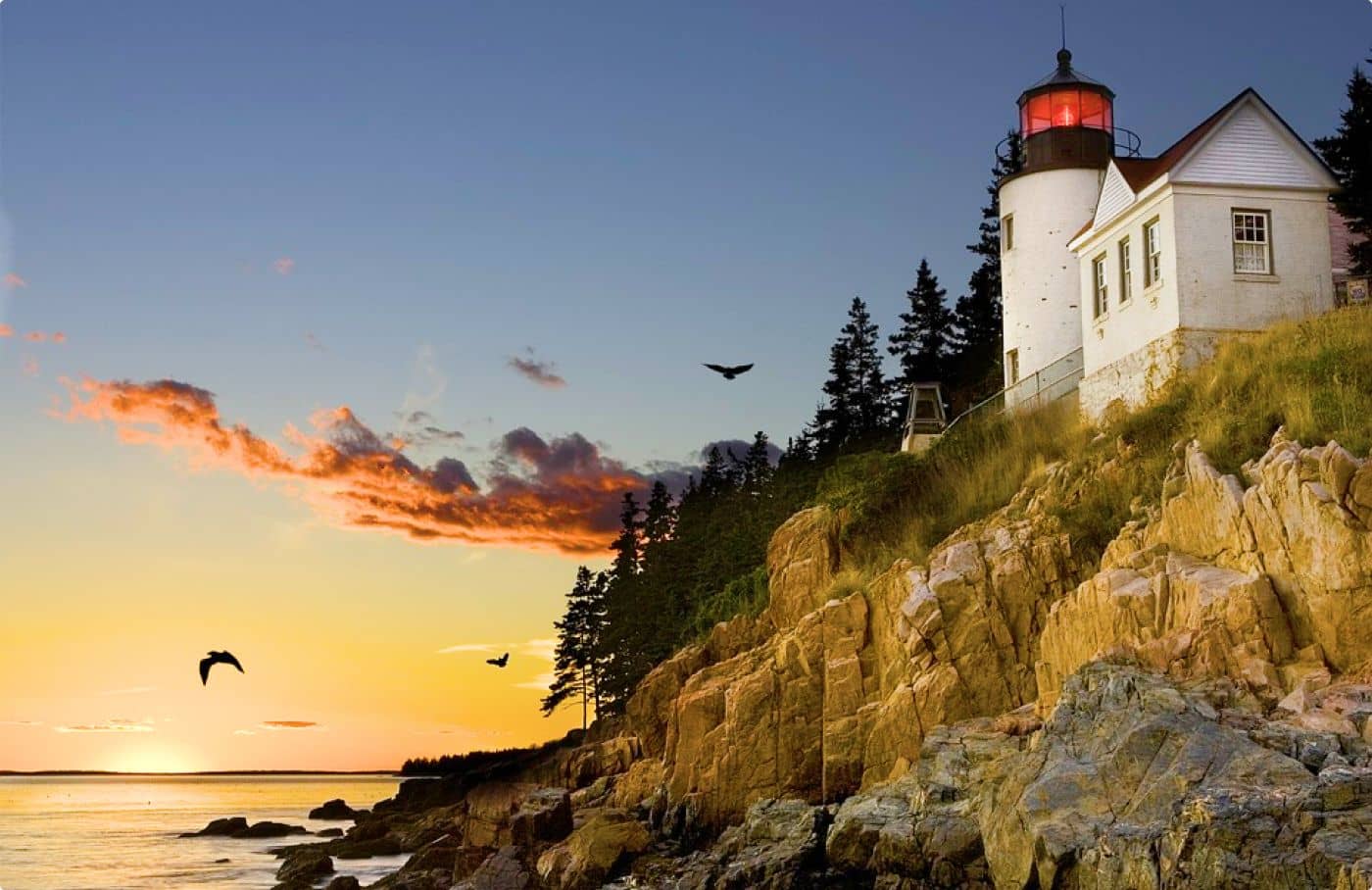
Gateway to Acadia National Park - Cadillac Mountain, puffin cruises, and a harbor town that fills with cruise ships from May to October.
Southern Maine Coast
Dock Square boutiques, Goose Rocks Beach, and the Bush family's Walker's Point - the quintessential coastal Maine summer town.
Greater Portland
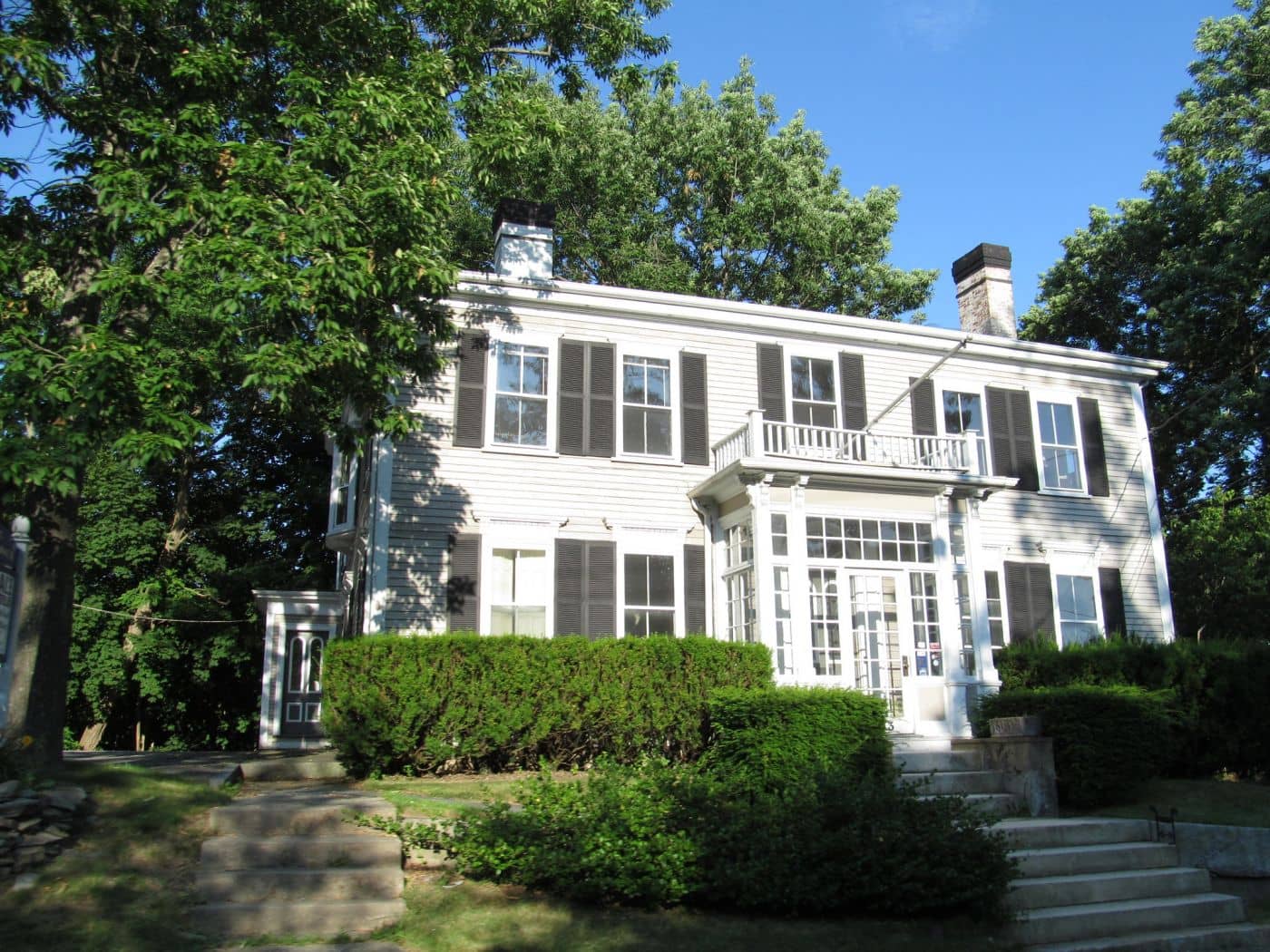
Maine's largest city - a working waterfront, Old Port cobblestones, and a food scene that punches well above its weight.
Midcoast Islands
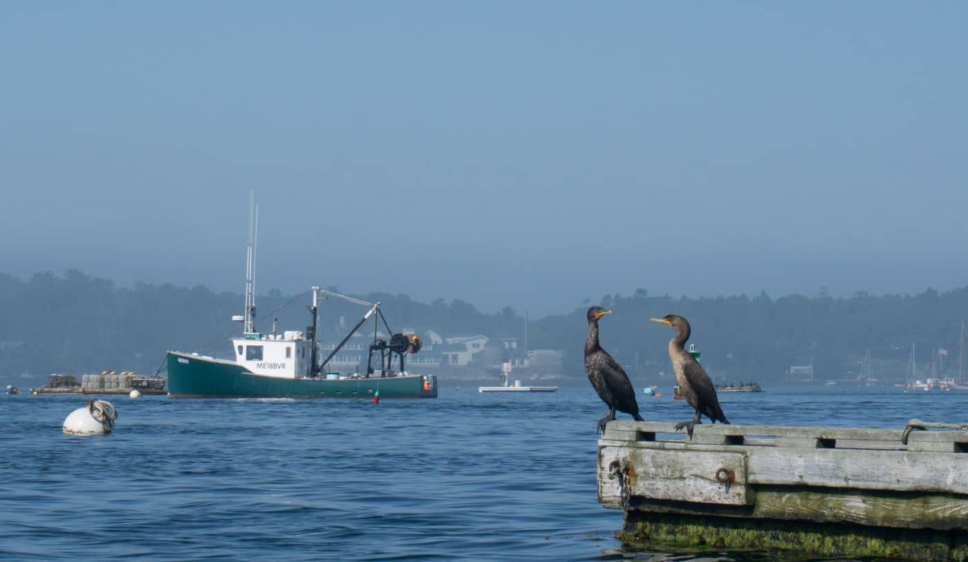
Shipbuilding heart of Maine since 1743 - Bath Iron Works still launches destroyers past the Maine Maritime Museum on the Kennebec.
Midcoast Islands
A Midcoast harbor town built around boat trips, with the Coastal Maine Botanical Gardens just up the road.
Midcoast Islands
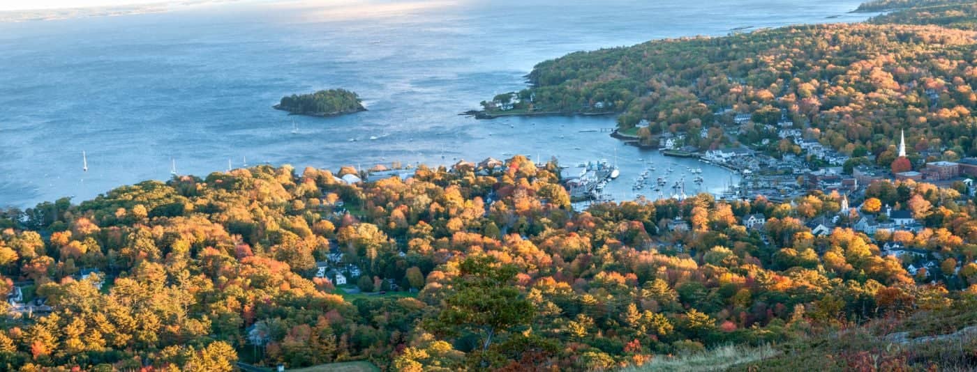
Where the mountains meet the sea - windjammer harbor, Mount Battie summit views, and an independent village with real soul.
Greater Portland
Flagship home of L.L. Bean, open 24/7 - outlets, a tidal river, and surprisingly good eating between the shopping.
Southern Maine Coast
Postcard-perfect village of sea captains' mansions, Lower Village shops, and easy walks to Mother's Beach and Gooch's Beach.