
1
Ogunquit
See main listingThree miles of sand, the Marginal Way clifftop walk, and Perkins Cove's galleries - southern Maine at its most photogenic.
Details


Guide
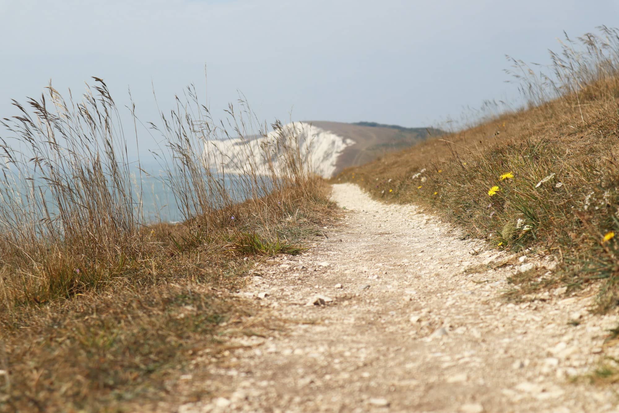
The Marginal Way in Ogunquit is a paved footpath along the top of the sea cliffs, running about a mile and a quarter from the edge of the village down to Perkins Cove. It is free, open year-round, and the single most-walked stretch of shoreline in southern Maine, which is both why you should do it and why you should think carefully about when.
The Marginal Way is a public footpath owned by the town of Ogunquit. It starts on Shore Road near Main Beach at the village end and finishes at Perkins Cove, a working boat basin turned restaurant and gallery pocket. Allow 30 to 40 minutes one way at a walking pace, an hour if you stop at the benches, and two if you eat at the far end.
It is paved the whole way and there are no stairs on the main route, but it pitches and rolls. This is a cliff path, not a boardwalk. Sturdy shoes are unnecessary; flip-flops are a mistake. There is almost no shade, and the wind off the water is ten degrees colder than Main Street in any season.
Walk it south, from the village to Perkins Cove, if you want to finish at lunch. Walk it north, from the Cove, if you want the ocean on your right and the harder parking problem solved first.
Parking is the real constraint. The Perkins Cove lot is small and fills by mid-morning through the summer, and the queue to get in backs onto Shore Road. Village lots near Main Beach (rated 4.7 from 260 reviews) are metered and go nearly as fast. The workaround most locals use is the seasonal Ogunquit trolley, which loops between the village, the beaches and the Cove. Park once, ride to one end, walk the path, ride back. Off season the whole problem evaporates and there is roadside parking at both ends.
There are several intermediate entrances off Shore Road, marked with small signs and easy to miss from a moving car. They are useful if you only want a fifteen-minute piece of the path.
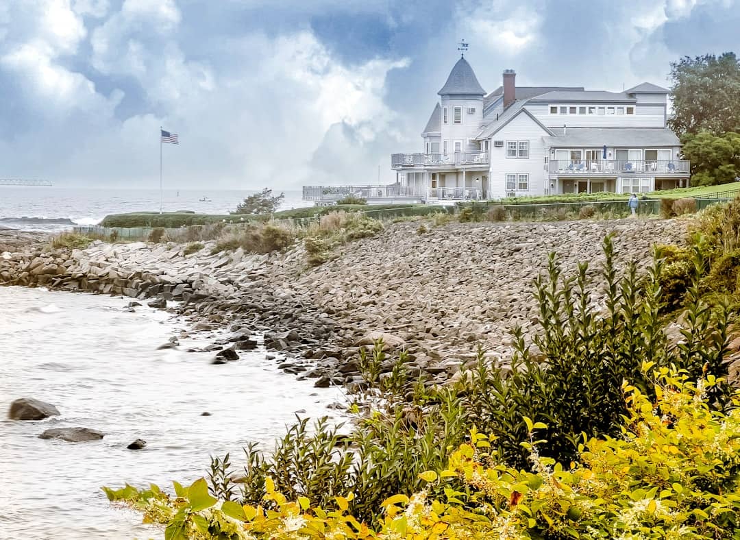
The path traces the top of a low, broken cliff line: twenty to forty feet above the water for most of its length, with the surf working directly below you. There are roughly forty benches, nearly all of them memorial gifts, and in July every one of them is occupied.
Roughly two-thirds of the way toward the Cove you reach Lobster Point Lighthouse (4.6, 547 reviews), a squat stone tower that is a landmark rather than a working aid to navigation, a fact worth knowing before you plan a lighthouse trip around it. From the point the view opens both ways down the coast.
The Cove end delivers you into Perkins Cove itself, past the Perkins Cove Drawbridge (4.7, 180 reviews), a hand-cranked pedestrian drawbridge that still gets raised for masted boats going in and out. It is one of very few of its kind left, and watching a bridge get wound up by hand for a single sailboat is a good five minutes. Our guide to Maine's historic bridges puts it in context.
This is the part most guides skip, and it is the reason the walk exists at all.
Shorefront in southern Maine has been valuable since the rusticator era of the late nineteenth century, when Boston money began buying up the coast. By the 1920s a strip of cliff top with that view would have been subdivided into house lots without anyone blinking. Instead, a York landowner named Josiah Chase deeded the shoreline strip to the town of Ogunquit, on the condition it stay open to the public. The name is a surveying term: a marginal way is a right-of-way along the margin of the water, and that is precisely what the deed created.
The town has owned it ever since, but the money to keep it standing largely does not come from taxes. The Marginal Way Preservation Fund (4.9, 141 reviews), a nonprofit based on School Street in the village, raises the funds for seawall repair, retaining walls, resurfacing and the endless work of holding a footpath onto an eroding cliff. Northeast storms take bites out of it on a regular basis, and sections have been closed for months at a time after bad winters. If you walk it and think it was worth doing, that fund is the reason it was there to walk.
That fragility is not theoretical. The cliff is glacial till and fractured bedrock, the sea is working on it constantly, and the path has been rebuilt in pieces more than once. Check the town's site before a shoulder-season trip; a closure will be posted rather than signposted at the trailhead you drove to.
In July and August the Marginal Way is a single-file line of people on a five-foot-wide path with nowhere to step aside. If you arrive at eleven on a Saturday in August you will spend the walk managing oncoming traffic rather than looking at the water. The fix is simple and completely reliable: go before eight in the morning, or after six in the evening, or come in May, or October, when the same path is close to empty and the light is better.
For everything else in town, start with our Ogunquit guide or the things to do in Ogunquit roundup.
About a mile and a quarter each way. Most people take 30 to 40 minutes one direction without stopping, or a little over an hour round trip. Add time at the Perkins Cove end, which is where you will actually want to linger.
No. The path is town-owned and free, open year-round with no gate and no ticket. Parking is the only thing you pay for, and the Marginal Way Preservation Fund takes donations for upkeep since the repair costs are not covered by the town alone.
Only outside the summer restriction. Ogunquit limits dogs on the Marginal Way and its beaches during the busy season, with specific dates and hours set by the town, and it is enforced. Confirm the current rule before traveling rather than assuming.
Park in the village and use the seasonal trolley if you are visiting between June and September. The Perkins Cove lot is small and full by mid-morning, and the entrance queue spills onto Shore Road. Outside the summer months, either end works and roadside parking is straightforward.
Three miles of sand, the Marginal Way clifftop walk, and Perkins Cove's galleries - southern Maine at its most photogenic.
Guides




Destinations

Downeast & Acadia
Gateway to Acadia National Park - Cadillac Mountain, puffin cruises, and a harbor town that fills with cruise ships from May to October.
Southern Maine Coast
Dock Square boutiques, Goose Rocks Beach, and the Bush family's Walker's Point - the quintessential coastal Maine summer town.
Greater Portland
Maine's largest city - a working waterfront, Old Port cobblestones, and a food scene that punches well above its weight.
Midcoast Islands
Shipbuilding heart of Maine since 1743 - Bath Iron Works still launches destroyers past the Maine Maritime Museum on the Kennebec.
Midcoast Islands
A Midcoast harbor town built around boat trips, with the Coastal Maine Botanical Gardens just up the road.

Midcoast Islands
Where the mountains meet the sea - windjammer harbor, Mount Battie summit views, and an independent village with real soul.

Greater Portland
Flagship home of L.L. Bean, open 24/7 - outlets, a tidal river, and surprisingly good eating between the shopping.

Southern Maine Coast
Postcard-perfect village of sea captains' mansions, Lower Village shops, and easy walks to Mother's Beach and Gooch's Beach.