
1
Harpswell
See main listingThree long peninsulas of lobster shacks, tidal coves, and the Basin - Maine's most southerly fjord - south of Brunswick.
Details

Guide
Bailey Island is the far end of a road that runs out of land. Drive Route 24 south from Brunswick and you cross onto Great Island, then Orr's Island, then over a bridge built of loose granite slabs stacked like firewood, and you are on Bailey Island, Maine, two and a half miles of ledge, spruce and lobster boats with open ocean off the end. It is one of the few genuinely remote-feeling places in Maine you can reach without a boat, a ferry ticket or a hike.
Bailey Island is the outermost of three linked islands in the town of Harpswell, in Casco Bay, about 15 miles south of Brunswick and roughly an hour from Portland. One road in: Route 24, which leaves US-1 at Cook's Corner in Brunswick and dead-ends at Land's End on the southern tip. No ferry, no reservation, no gate.
What most people come to see is the Bailey Island Bridge, better known as the Cribstone Bridge, crossing the tidal channel called Will's Gut between Orr's Island and Bailey Island. It carries a 4.9 rating from 187 Google reviews: the highest score of anything in Harpswell's dataset, which is unusual for a piece of road infrastructure and a fair signal of how odd and good-looking it is in person.
The island itself is small and residential. No downtown, no visitor center, no strip of shops. What there is: a working harbor, a shoreline trail over stepped rock, a pocket beach, a lobster restaurant at the bridge and a view of nothing but water at the end.
Route 24 is two lanes at a low speed limit through neighborhoods for most of its final ten miles, so budget more time than the mileage suggests.
One geographic quirk worth knowing before you plan: Harpswell hangs off the mainland as several parallel peninsulas that do not connect at the bottom. Dolphin Marina & Restaurant (4.7 from 1,372 reviews) sits about three miles from the cribstone bridge across open water, but getting there by car means driving all the way back up Route 24 and down Route 123. The better part of an hour. Do not plan a day that hops between Harpswell Neck and the islands.
Will's Gut is a narrow slot with a hard tide running through it. A solid causeway would have dammed the channel and killed the flushing behind it. Conventional piers were their own problem: the current scours, and winter ice moves through the gut with real force.
The answer, when the bridge opened in 1928, was to build no piers at all. Granite slabs were laid dry (no mortar, no cement, nothing binding them) in alternating courses, the long stones running one direction in one layer and crosswise in the next, exactly like the cribwork of a log foundation. That leaves open cells all through the structure. The tide pours straight through the bridge instead of pushing against it, and the sheer weight of the granite holds everything in place. The design is credited to the engineer Llewellyn N. Edwards.
It works, which is the remarkable part. Nearly a century of Casco Bay winters have gone through those openings and the stonework is still carrying traffic. The bridge is listed on the National Register of Historic Places, and it is routinely described as the only cribstone bridge of its kind anywhere. A claim nobody has managed to unseat. Stand at either end at mid-tide and you can watch the current rip through the gaps below the deck; that is the whole idea of the thing, visible in about ten seconds. It pairs well with the rest of the state's crossings in our guide to Maine's historic bridges.
The best walk on the island, and the reason to stay longer than a photo stop. Giant's Stairs and McIntosh Lot Preserve (4.7 from 532 reviews, 19 Ocean St) is a short shoreline path on the island's eastern side, along a cliff edge where the rock breaks into broad stepped ledges dropping into the sea. It is a modest out-and-back. You can walk the whole thing in half an hour and spend two more sitting on the rock.
Town-owned and free, with the usual caveat: the trailhead holds a handful of cars and nothing more. Footing near the edge is uneven and the ledges are slick when wet. Storm surf here is genuinely dangerous; this is not a place to get close to the water on a big swell.
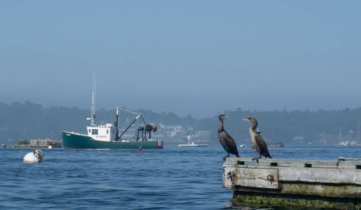
The deep harbor on the western side is where the Bailey Island lobster fleet moors, and it is the picture most people have in their heads when they think of a Maine fishing village. It is a working cove, not an overlook. Gear is stacked on the wharves and the road is narrow. Look from the public road; do not wander onto private floats.
At the southern tip Route 24 simply stops, at a small parking area above the rocks with open Atlantic in front of it and a memorial to Maine fishermen lost at sea nearby. Mostly it is a place to stand on the ledge and understand there is nothing between you and the far side of the ocean.
The island's pocket beach (4.8 from 200 reviews, 2391 Harpswell Islands Rd) is small, unstaffed and hemmed in by houses. It rates well because it is a pretty little cove, not because it is a day-at-the-beach destination. No facilities, minimal parking. For sand and a full afternoon, drive to Popham Beach State Park instead, about 45 minutes east.
Cook's Lobster & Ale House (4.4 from 1,427 reviews) sits on Garrison Cove at the Bailey Island end of the bridge, water on three sides. Its rating is a notch below the best restaurants in the area, which is worth knowing: you are paying for one of the great dining-room views in Casco Bay, and the food is solid rather than remarkable. It keeps a short off-season week, so check before driving out in the shoulder months.
Bailey Island also works as a half-day out of the city. See day trips from Portland.
Yes, the whole way. Route 24 runs south from Cook's Corner in Brunswick across Great Island and Orr's Island, then over the Bailey Island Bridge, and ends at Land's End on the southern tip. No ferry is involved.
It is built entirely of granite slabs stacked dry in alternating crisscrossed layers, with no mortar and no piers. The open cells between the stones let the tide run straight through the structure instead of against it, and the weight of the granite alone holds it together. It opened in 1928, is on the National Register of Historic Places, and is widely held to be the only bridge of its kind in the world.
Two to four hours covers it: the bridge, the Giant's Stairs walk, a look at Mackerel Cove and Land's End, and a meal. Add an hour if you plan to sit on the ledges, which most people end up doing. A full day only makes sense combined with stops back up Route 24.
One small pocket beach, Bailey Island Beach on Harpswell Islands Road, rating 4.8 from 200 reviews. It is a pretty cove rather than a resort beach: no facilities, very limited parking, surrounded by houses. For a proper sand day, Popham Beach State Park is about 45 minutes east.
Three long peninsulas of lobster shacks, tidal coves, and the Basin - Maine's most southerly fjord - south of Brunswick.
Guides

Destinations

Downeast & Acadia
Gateway to Acadia National Park - Cadillac Mountain, puffin cruises, and a harbor town that fills with cruise ships from May to October.
Southern Maine Coast
Dock Square boutiques, Goose Rocks Beach, and the Bush family's Walker's Point - the quintessential coastal Maine summer town.
Greater Portland
Maine's largest city - a working waterfront, Old Port cobblestones, and a food scene that punches well above its weight.
Midcoast Islands
Shipbuilding heart of Maine since 1743 - Bath Iron Works still launches destroyers past the Maine Maritime Museum on the Kennebec.
Midcoast Islands
A Midcoast harbor town built around boat trips, with the Coastal Maine Botanical Gardens just up the road.
Midcoast Islands
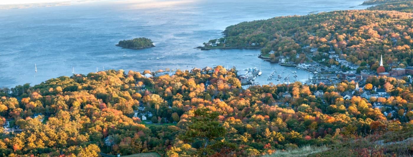
Where the mountains meet the sea - windjammer harbor, Mount Battie summit views, and an independent village with real soul.
Greater Portland
Flagship home of L.L. Bean, open 24/7 - outlets, a tidal river, and surprisingly good eating between the shopping.
Southern Maine Coast
Postcard-perfect village of sea captains' mansions, Lower Village shops, and easy walks to Mother's Beach and Gooch's Beach.