1
Millinocket
See main listingThe gateway town to Baxter State Park and Katahdin, and the southern end of the Appalachian Trail's 100-Mile Wilderness.
Details

Guide
The Knife Edge in Maine is a mile and a tenth of bare granite arete connecting Pamola Peak to Baxter Peak on Katahdin, and in places the walkable top of it is about three feet wide with more than a thousand feet of air on either side. It is the most exposed maintained hiking route in the eastern United States. It is also, on the wrong day, the most dangerous, and the honest version of this guide spends as much time on when not to go as on how to go.
The Knife Edge is a trail inside Baxter State Park, near Millinocket. It runs from Pamola Peak, at roughly 4,900 feet, over Chimney Peak and South Peak to Baxter Peak at 5,267 feet, the highest point in Maine and the northern terminus of the Appalachian Trail. Baxter Peak rates 5.0 from a small pool of 10 reviews; the Northern Terminus sign a few steps away carries 5.0 from 24.
The traverse is 1.1 miles and takes most people one and a half to three hours. It sits inside a nine to ten mile loop with around 4,000 feet of climbing, and the park's guidance is that a Katahdin day runs 8 to 12 hours.
There is no partial version, no easy bail, no shortcut back to the car from the middle.
Almost everyone does it in one direction: up to Pamola first, across to Baxter Peak second.
Going Pamola-first puts the hardest scrambling early, when you are fresh, and means you downclimb the Chimney rather than finish the day on it. Do not plan to descend the Cathedral Trail: it is the steepest line off Baxter Peak and a poor choice on tired legs.
Straight off Pamola the trail drops into a rock-walled notch called the Chimney: roughly 30 to 40 feet down, hands on rock and facing in, then immediately the same again back up onto Chimney Peak. This is the crux and the most committing move on the route.
What follows is not a walk. The Knife Edge is sustained hands-on scrambling over blocks, slabs and gaps, with the basin holding Chimney Pond falling away north and open slope south. Some sections feel casual. Others are a single line of rock. The exposure never lets up, and there is no railing, no cable, nothing.
What you cannot do: turn around easily once past the Chimney; bring a dog, because pets are banned everywhere in Baxter; count on cell service; pass someone quickly on the narrow sections; or get rescued quickly. A carry off this ridge takes a large team most of a day.
In the right conditions, with an honest read of your own ability, it is the most spectacular mile of trail in the Northeast.
The park's own language is blunt: the route is completely exposed and should not be attempted in bad weather. People break that rule every season. Turn back, or do not start, if any of the following is true:
Two more honest filters. If heights genuinely frighten you, the Knife Edge will not cure it. Freezing up in the middle is common, and harder to reverse than to finish. And if anyone in the group is unsure, take the Saddle up and down instead. Katahdin is a magnificent mountain without this mile. Rangers post above-treeline conditions each morning at the gatehouse and campgrounds; take it seriously when it says the exposed trails are not recommended.
Katahdin is Penobscot, and the usual translation is close to "the greatest mountain." The peak the Knife Edge starts from carries more weight than most hikers realize. In Penobscot tradition Pamola is the spirit of the mountain (head of a moose, body of a man, wings and talons of an eagle) who governs the storms on the summit and does not welcome people on the high ground, which was treated as a place you did not casually climb.
You do not have to hold the belief to notice it encodes accurate weather advice: the peak named for the storm spirit is exactly where the Knife Edge commits you.
Henry David Thoreau came up in 1846 and never reached the top; cloud on the Tableland turned him back, and what he wrote in The Maine Woods is a man who expected transcendence and found a landscape indifferent to him.
The reason any of this is still wild is Percival Baxter. As governor in the 1920s he could not persuade the legislature to buy the mountain, so he bought it himself over decades and deeded it to the state on the condition that it stay "forever wild." That deed is why there is no paved summit road, no cell tower and a hard cap on trailhead parking. The inconvenience is the point.
Baxter is not a drive-up park. Turning up on a summer morning without a plan does not work.
In town: The Appalachian Trail Cafe (4.6 from 447 reviews) is where northbound thru-hikers finish; Knife Edge Brewing rates 4.8 from 145. More in our guides to Maine mountain hikes, the Appalachian Trail in Maine, the best hiking trails in Maine and Maine state parks.
Dangerous enough that people have died on it, almost always in falls after committing in bad conditions. In good weather, for a fit hiker comfortable with heights and scrambling, it is demanding but manageable. In wind, wet or cloud it becomes a lethal piece of ground with no escape from the middle.
One and a half to three hours for the 1.1 miles. That is the mile only. The full loop from Roaring Brook over Pamola and down the Saddle runs nine to ten miles and 8 to 12 hours, so start at the gate.
Day hikers need a Katahdin Trailhead Pass to park at Roaring Brook, Abol or Katahdin Stream. Passes are reserved in advance and the Katahdin lots fill fast. Guests camping at Roaring Brook or Chimney Pond do not need a separate day pass.
No. It requires sustained scrambling with continuous exposure, a downclimb into the Chimney, and the judgment to turn around in time. Climb Katahdin by the Saddle, Hunt or Abol trails first, see how the summit weather behaves, and come back for the Knife Edge another year.
The gateway town to Baxter State Park and Katahdin, and the southern end of the Appalachian Trail's 100-Mile Wilderness.
Tools
Guides
Destinations

Downeast & Acadia
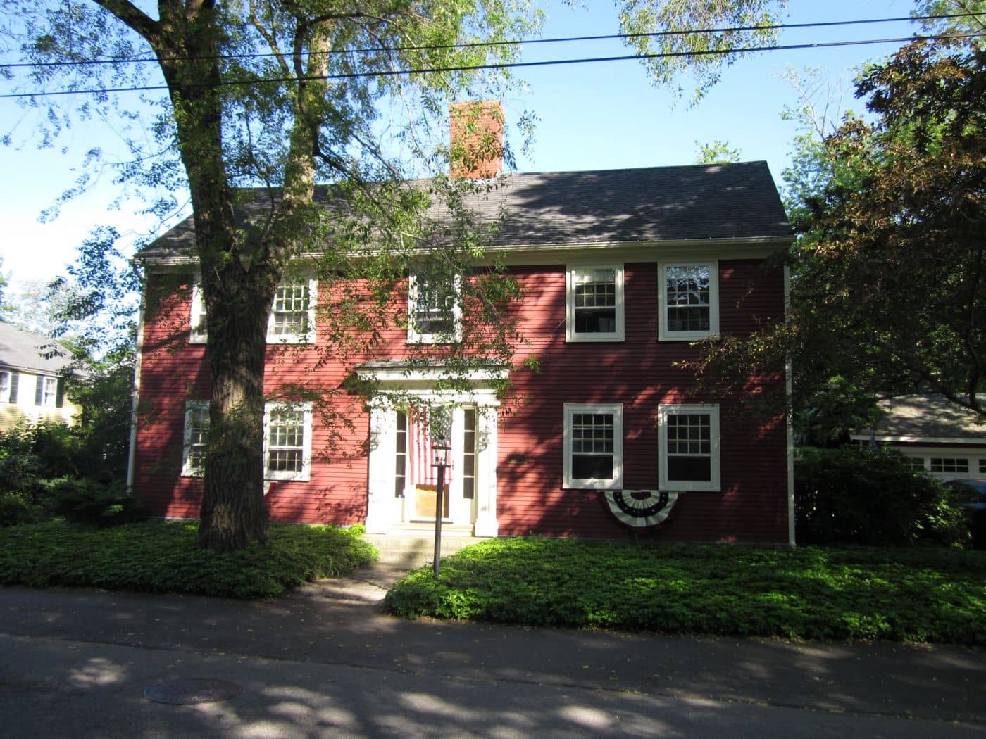
Gateway to Acadia National Park - Cadillac Mountain, puffin cruises, and a harbor town that fills with cruise ships from May to October.
Southern Maine Coast
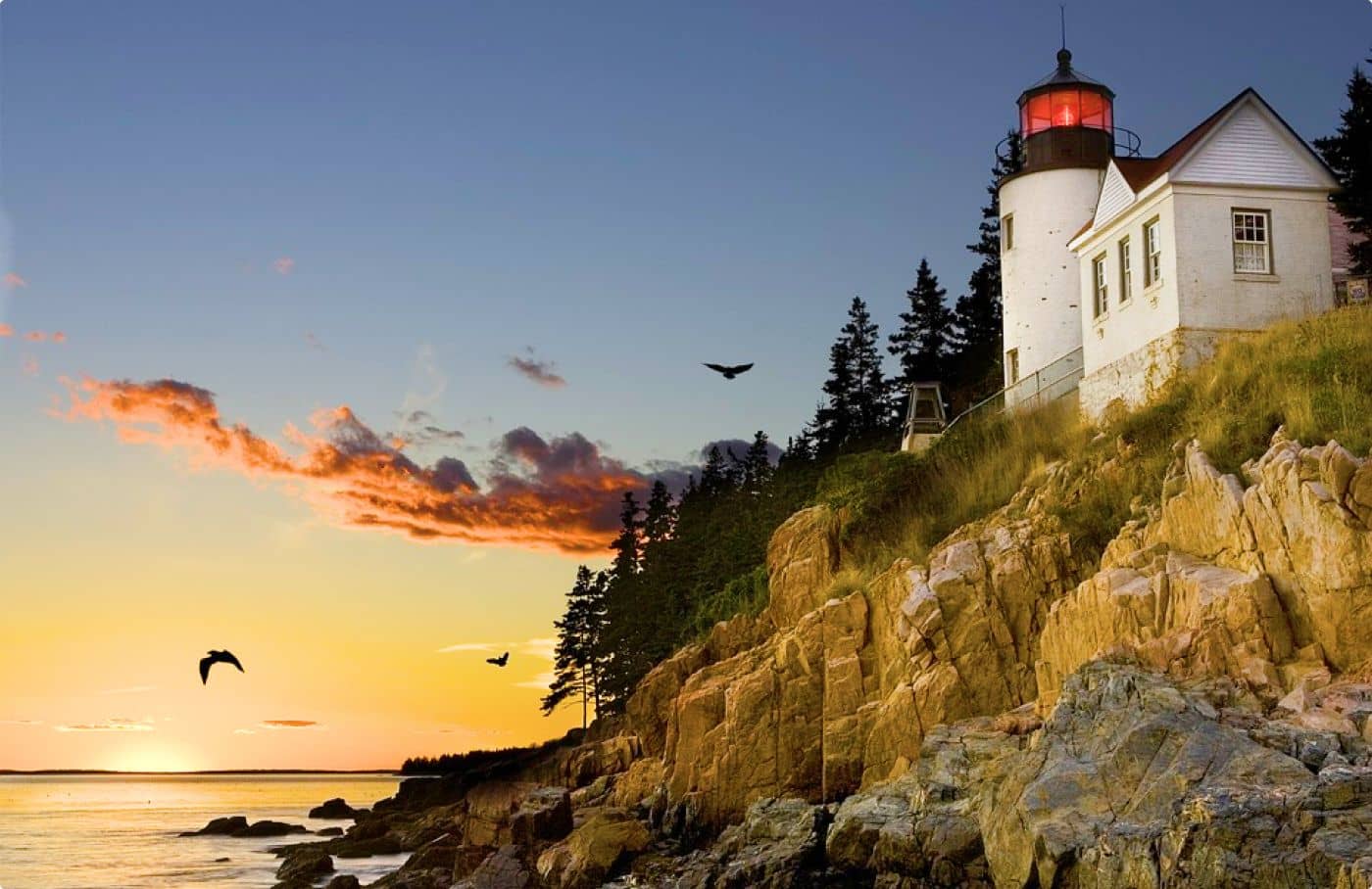
Dock Square boutiques, Goose Rocks Beach, and the Bush family's Walker's Point - the quintessential coastal Maine summer town.
Greater Portland
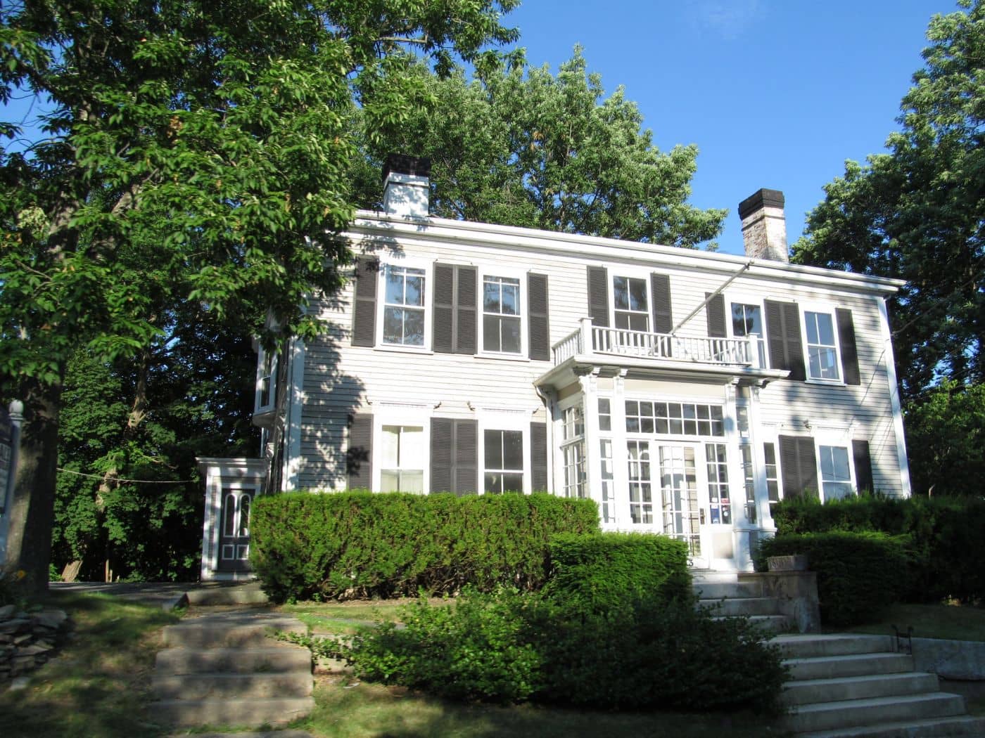
Maine's largest city - a working waterfront, Old Port cobblestones, and a food scene that punches well above its weight.
Midcoast Islands
Shipbuilding heart of Maine since 1743 - Bath Iron Works still launches destroyers past the Maine Maritime Museum on the Kennebec.

Midcoast Islands
A Midcoast harbor town built around boat trips, with the Coastal Maine Botanical Gardens just up the road.
Midcoast Islands
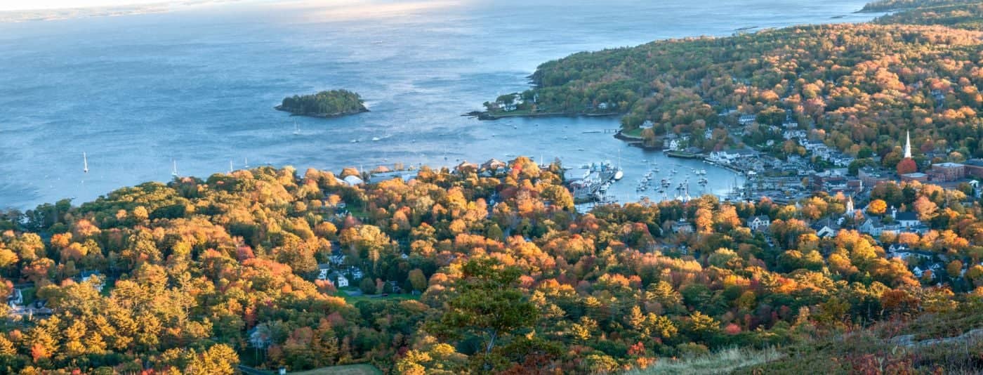
Where the mountains meet the sea - windjammer harbor, Mount Battie summit views, and an independent village with real soul.

Greater Portland
Flagship home of L.L. Bean, open 24/7 - outlets, a tidal river, and surprisingly good eating between the shopping.
Southern Maine Coast
Postcard-perfect village of sea captains' mansions, Lower Village shops, and easy walks to Mother's Beach and Gooch's Beach.