1
Bethel
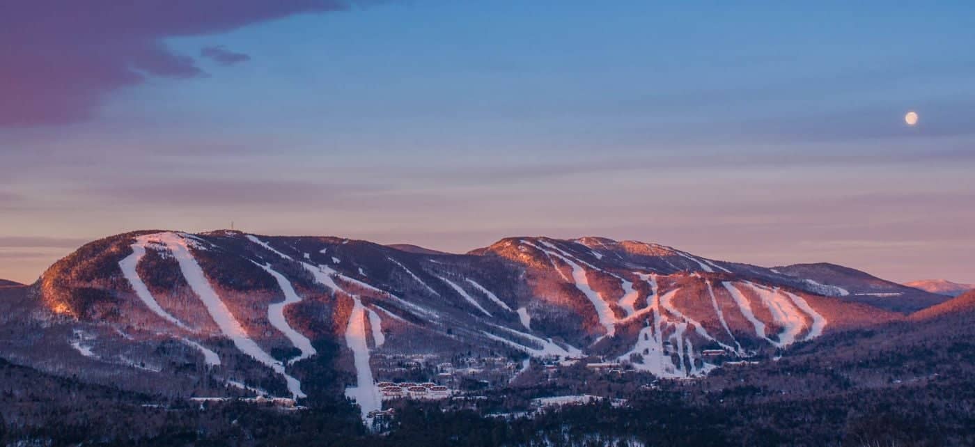
See main listingWestern Maine's mountain town, with Sunday River, Grafton Notch State Park and a classic New England common.
Details

Guide
The Appalachian Trail crosses Maine from the Mahoosuc Range to Katahdin. Its rocky terrain, remote stretches and mountain weather make section choice and timing central to a visit. Day hikes offer shorter introductions, while longer walks require planning around access, supplies and Baxter State Park.
The Appalachian Trail in Maine runs about 280 miles from the New Hampshire line in the Mahoosuc Range to Baxter Peak on Katahdin. It is the last state northbound, the first southbound, and by wide agreement the hardest of the fourteen. This is what that means on the ground, where to walk a piece of it in a day, and what the permits and seasons actually require.
Maine's section of the trail is the wildest stretch of the whole route: fewer roads, longer gaps between towns, no long easy ridge miles, and terrain that is rooted, rocky and steep with almost no switchbacks. The Appalachian Mountain Club maintains the trail from the state line to Grafton Notch; the Maine Appalachian Trail Club maintains everything from Grafton Notch to Katahdin, mostly with volunteers.
The northern terminus is Baxter Peak, the high point of Katahdin at a little over 5,200 feet, inside Baxter State Park. Its Google listing rates 5.0 from 24 reviews, a very small sample and about right for a place most people reach only after ten miles and 4,000 feet of climbing.
If you are not a thru-hiker, the useful way to think about Maine's AT is as four road-accessible clusters: Grafton Notch, the Rangeley–Stratton mountains, Monson and the 100-Mile Wilderness edge, and Baxter. Each has a trailhead you can drive to and a day hike worth doing.
The trail enters Maine on a ridge in the Mahoosuc Range, and almost immediately delivers the most notorious mile on the entire Appalachian Trail: Mahoosuc Notch. It is a narrow cleft between cliffs, filled floor to shoulder with boulders the size of vehicles, and hikers get through it by climbing over, squeezing under and passing packs ahead. Ice sits in the bottom of it into July. Fit hikers take two hours or more for that single mile, and it is genuinely dangerous in the wet. Immediately after comes Mahoosuc Arm, a brutal steep climb whose only mercy is that it is short.
North of that the trail crosses Old Speck and drops to Route 26 in Grafton Notch State Park (4.8, 1,069 reviews), which is the most accessible AT trailhead in western Maine. From the notch parking you can climb Old Speck on the AT (a hard four-mile ascent to a summit tower) or go the other way up Baldpate. Table Rock and the Eyebrow Trail are shorter and steeper alternatives on the same ground. Bethel, twenty-five minutes south, is the base town.
The middle of Maine's trail is its most sustained mountain walking: Bemis, Saddleback, the Crockers and the Bigelow Range, with the trail crossing Route 4 near Rangeley and Route 27 near Stratton. Saddleback's above-treeline ridge is one of the finest stretches of open trail in New England and takes a full committing day from Route 4. Piazza Rock, a couple of easy miles from the same trailhead, is the version of that walk that works with children.
The Bigelow Preserve, reached from Stratton, gives you West Peak and Avery Peak: the latter named for Myron Avery, the Lubec-born lawyer who did more than anyone to get the Appalachian Trail actually built and who walked every mile of it with a measuring wheel. Maine's trail exists in the form it does largely because of him.
Monson is the last real town before the longest roadless stretch on the whole trail. North of it the AT runs roughly a hundred miles to Abol Bridge with no road crossings you can resupply at, and the sign at the southern end tells hikers to carry ten days of food. The terrain is less about summits than about bogs, roots, unbridged stream crossings and the Barren-Chairback and White Cap ranges in the middle.
Two things in this section deserve mention for day visitors. Gulf Hagas, a slate gorge sometimes oversold as the Grand Canyon of Maine but genuinely spectacular, sits on a side loop reached by private logging road from Katahdin Iron Works State Historic Site (4.6, 186 reviews), which charges a gate fee. And the Appalachian Mountain Club's 100 Mile Wilderness Conservation Area (4.7, 92 reviews) near Monson has lodges and its own trail network for people who want the country without the hundred miles.
South of Monson the trail crosses the Kennebec River at Caratunk. Do not ford it. The river is dammed upstream and the level can rise fast and without warning; the Appalachian Trail Conservancy funds a free canoe ferry across, operating a posted seasonal schedule, and that is the official route.
The final stretch runs from Abol Bridge through Baxter State Park (4.8, 854 reviews) and up the Hunt Trail, the AT's route to Baxter Peak, about five miles from Katahdin Stream Campground, with a boulder scramble on the Hunt Spur where iron rungs are set into the rock. The Knife Edge, the ridge most people picture when they picture Katahdin, is a different route on the same mountain and is not part of the AT.
Baxter is not an ordinary state park and the difference matters. Percival Baxter, a former governor, bought the land with his own money and deeded it to the state from 1931 onward with the condition that it be kept forever in its natural wild state. The park is run by its own authority, under those terms rather than under the state park system, and it enforces them: day-use parking reservations are required in season, the Katahdin trailhead lots fill immediately, dogs are banned entirely, and the park closes the mountain in bad weather without negotiation. Long-distance AT hikers have their own permit process and a small dedicated campsite.
Plan Baxter first and everything else second. Turning up at the gate on a summer weekend without a reservation is the single most common way a Katahdin trip fails. Millinocket is the base town.
The practical Maine AT season runs from June into early October. May is mud and lingering snow at elevation, late May and June are blackfly season and the bugs are not a joke, and Baxter's Katahdin trails open and close on the park's own schedule at either end. September is the best month: bugs gone, foliage starting, water levels usually low enough that stream crossings are trivial.
On difficulty, be honest with yourself. Maine averages under two miles an hour for fit hikers over much of its length, and considerably less through the Mahoosucs. There is little in this state resembling a gentle woods walk on the AT. The trail goes straight up things, the granite is slick when wet, and the bog bridges are older than they look. If you want a first taste, do Piazza Rock or Table Rock rather than Old Speck, and save Katahdin for a day with a clear forecast and a reservation in hand.
For more on the region, see Greenville and Moosehead Lake for the Monson side, and our roundup of the best hiking trails in Maine for shorter alternatives.
About 280 miles, from the New Hampshire border in the Mahoosuc Range to Baxter Peak on Katahdin: one of the longest state sections on the trail and, by most hikers' reckoning, the slowest going.
Most thru-hikers say yes. The terrain is steep, rooted and rocky with few switchbacks, there are unbridged stream crossings, and Mahoosuc Notch (a mile of car-sized boulders you climb through rather than over) is routinely called the hardest mile of the entire trail.
Yes. Grafton Notch on Route 26, the Route 4 crossing near Rangeley, the Route 27 crossing near Stratton and the trailheads inside Baxter State Park all give road access to good day sections. Piazza Rock near Rangeley and Table Rock at Grafton Notch are the two easiest starting points.
You need a Baxter State Park day-use parking reservation in season, and the Katahdin trailhead lots are the first to go. Long-distance AT hikers use a separate registration and a small dedicated campsite. The park sets its own rules and its own opening dates, published on the Baxter State Park Authority's site.
Western Maine's mountain town, with Sunday River, Grafton Notch State Park and a classic New England common.
The gateway town to Baxter State Park and Katahdin, and the southern end of the Appalachian Trail's 100-Mile Wilderness.
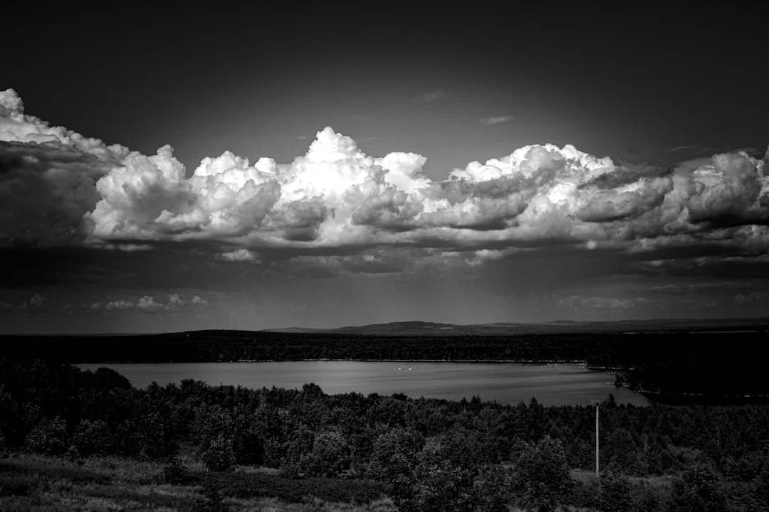
A remote lakes-and-mountains town in western Maine, with big water, dark skies and serious winter snow.
Tools
Guides
Destinations

Downeast & Acadia
Gateway to Acadia National Park - Cadillac Mountain, puffin cruises, and a harbor town that fills with cruise ships from May to October.
Southern Maine Coast
Dock Square boutiques, Goose Rocks Beach, and the Bush family's Walker's Point - the quintessential coastal Maine summer town.
Greater Portland
Maine's largest city - a working waterfront, Old Port cobblestones, and a food scene that punches well above its weight.
Midcoast Islands
Shipbuilding heart of Maine since 1743 - Bath Iron Works still launches destroyers past the Maine Maritime Museum on the Kennebec.
Midcoast Islands
A Midcoast harbor town built around boat trips, with the Coastal Maine Botanical Gardens just up the road.
Midcoast Islands
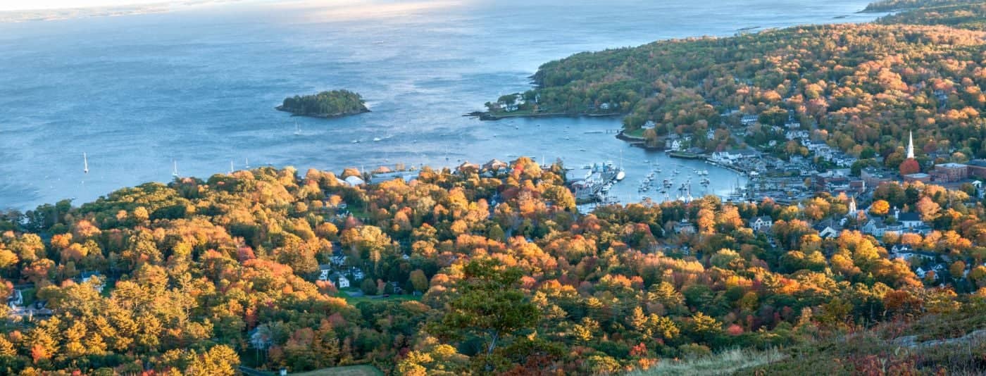
Where the mountains meet the sea - windjammer harbor, Mount Battie summit views, and an independent village with real soul.
Greater Portland
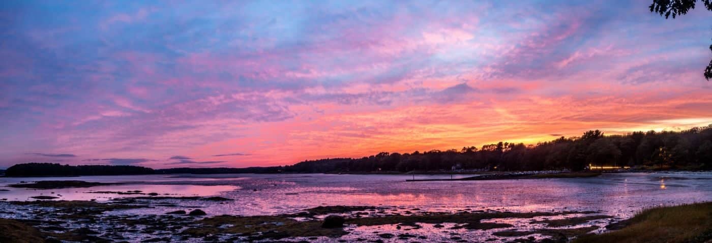
Flagship home of L.L. Bean, open 24/7 - outlets, a tidal river, and surprisingly good eating between the shopping.
Southern Maine Coast
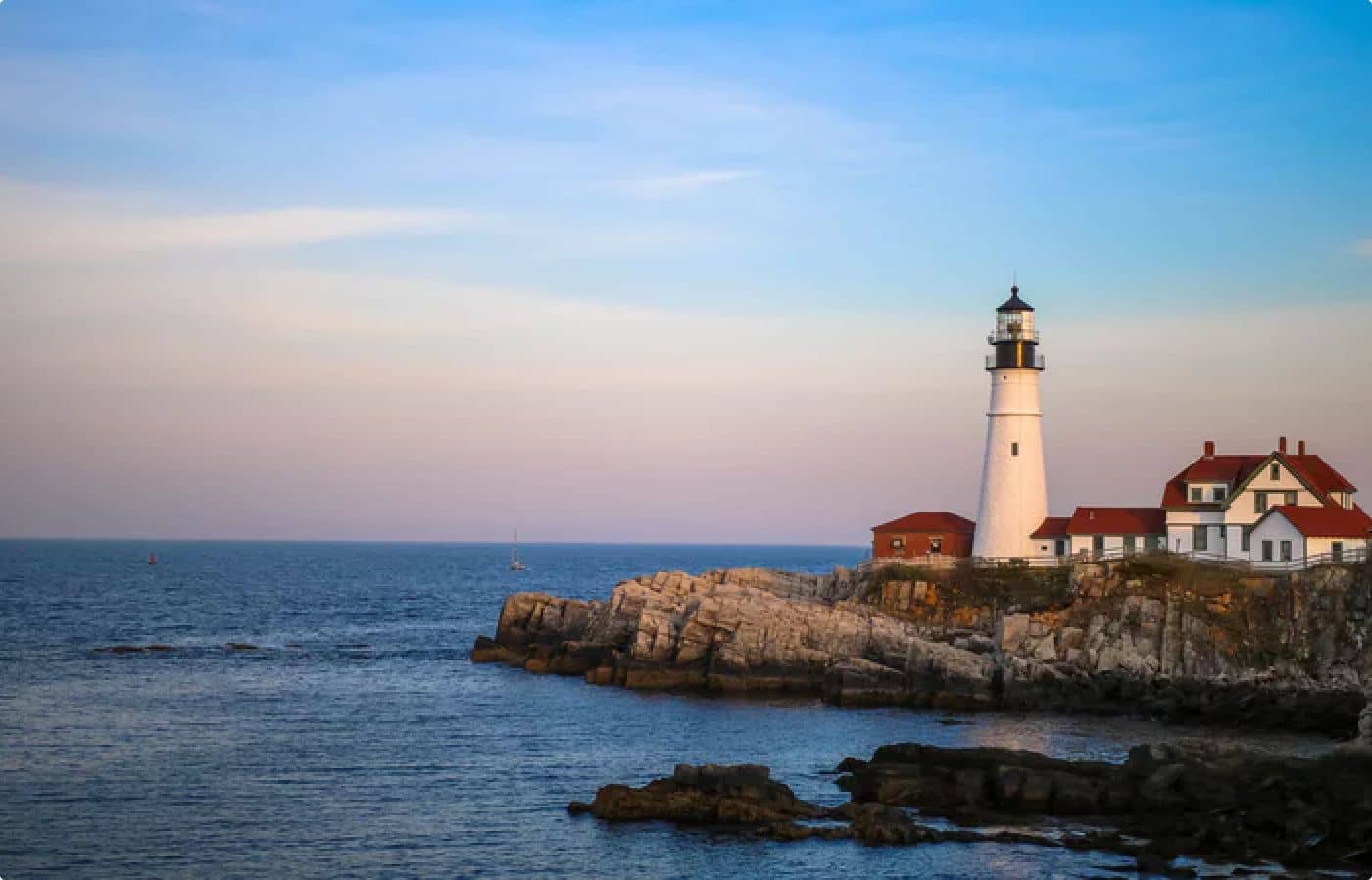
Postcard-perfect village of sea captains' mansions, Lower Village shops, and easy walks to Mother's Beach and Gooch's Beach.