1
Rangeley
See main listingA remote lakes-and-mountains town in western Maine, with big water, dark skies and serious winter snow.
Details

Guide
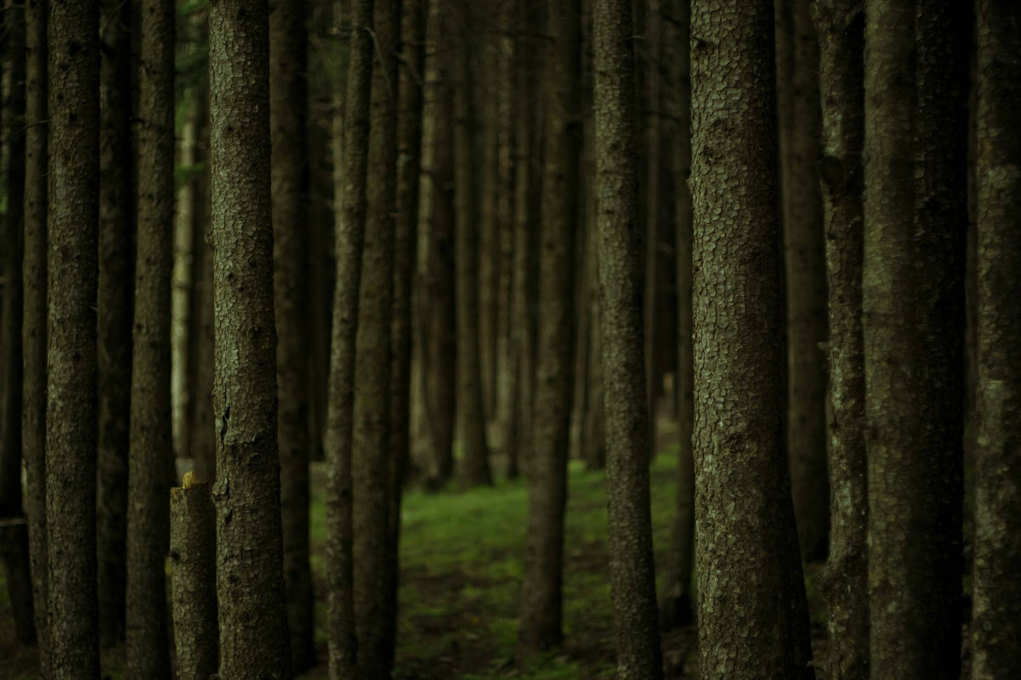
Rangeley Lake State Park is 869 acres on the south shore of Rangeley Lake, in Maine's western mountains, with a 50-site campground, a trailered boat launch and a swimming beach. It sits at just over 1,500 feet, which explains most of what is good and most of what is inconvenient about it: cold clear water, cold nights, and a season that opens late and shuts early.
For more trip planning, see Things to Do in Rangeley, Maine: Lakes or Snow?.
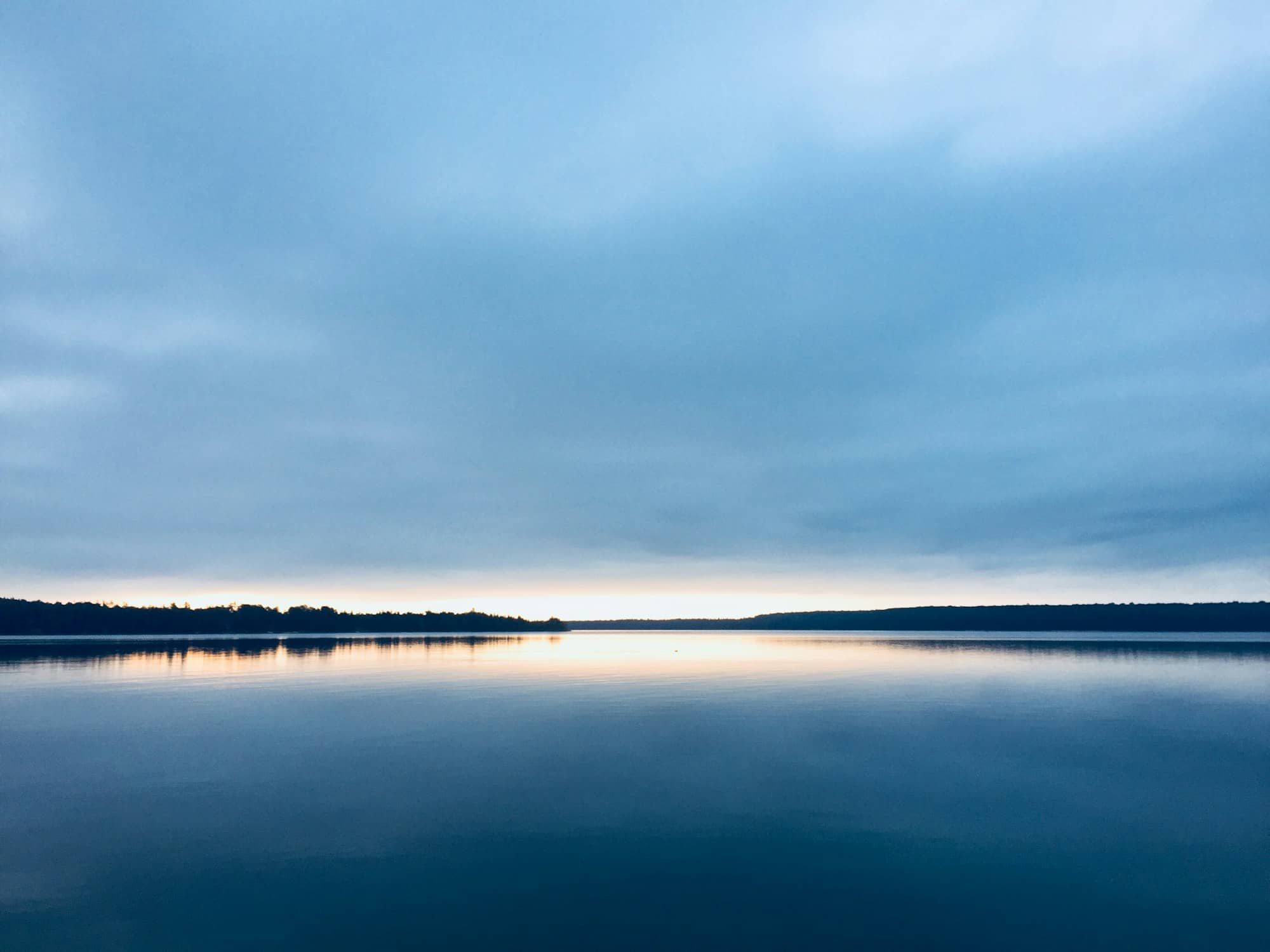
The park runs along the southern shore of the lake, straddling the town of Rangeley and Rangeley Plantation in Franklin County, reached off Route 4 by South Shore Drive. Rangeley Lake itself covers roughly 6,000 acres and holds landlocked salmon and brook trout.
It does the standard Maine state park job well: camp, launch a boat, swim, walk a bit. It is not a hiking destination. The trails inside the park are short and flat, and the mountains people come to Rangeley for are outside its boundary.
The Bureau of Parks and Lands, the division of Maine's Department of Agriculture, Conservation and Forestry that runs the state parks, operates Rangeley Lake on a season that runs from roughly the beginning of May to the middle of October. Gates open in the morning, close at sunset. Day visitors pay a fee on arrival, lower for Maine residents, with current amounts published on maine.gov.
Camping. Fifty sites, well spaced, set back in mixed woods near the shore. Showers and an RV dumping station, but no hookups: that is true across the Maine state park system and catches out first-timers with big rigs. Sites are booked through the state's central reservation service, which opens on a rolling window ahead of each arrival date rather than releasing a whole summer at once. Fifty sites in a region this popular is not many. Midsummer weekends go early.
Boats. There is a real trailered launch with finger docks, used by campers and day visitors alike, and that matters more than it sounds: on a lake this size, a public launch is the difference between fishing it and looking at it. A Maine fishing license is required and sold online.
Swimming. There is a beach, and it is busy through July and August. The water is cold: at 1,500 feet the lake never gets the long warm shallows a southern Maine pond does.
The honest drawbacks. Three. The season is genuinely short. The park is shut for more than half the year. Blackflies own late May and much of June, and this is not a mild case; anyone who has only met them in southern Maine is unprepared. And Rangeley is far from everything: roughly two and a half hours from Portland. Nobody stops here on the way somewhere else.
The reward is the same coin flipped. Late September here is close to perfect: foliage in the mountains, no insects, cold nights, an almost empty campground.
The Rangeley Lakes were one of the first places in America that people traveled a long way to fish, and understanding that explains why the region has hotels, guides and a park at all.
In the second half of the 19th century, word got out that these lakes held brook trout of a size that existed nowhere else within reach of a northeastern city, fish that turned a remote stretch of the western mountains into a destination for anglers from New York, Boston and Philadelphia. Getting here was the problem, solved twice: by steamboats working the lakes, and by one of Maine's two-foot narrow-gauge railroads, the Sandy River and Rangeley Lakes line, which pushed up from Farmington through Phillips and reached Rangeley by the 1890s. Large wooden hotels and sporting camps followed the tracks.
The region also produced the person who sold it. Cornelia Crosby (universally known as Fly Rod Crosby) was a Phillips woman who fished, wrote a sporting column, and represented the Rangeley country at sportsmen's expositions in New York and Boston, doing more than any railroad brochure to fix Maine in the American imagination as a place you went to be outdoors. When Maine began licensing guides in 1897, she was issued the first license in the state.
The park itself is younger and came from a different direction. It was created in 1960 out of three acquisitions totaling 718 acres, about half of it donated by paper companies. That is worth sitting with: this was industrial timberland, and the public shoreline exists because corporate owners gave it up, not because the state could afford to buy it. Another 29 acres was added in 2009 through Land for Maine's Future, the voter-approved conservation bond program: the modern mechanism, in a place where the old one had run out.
This is thin-settled country, so "nearby" means a drive. Distances are from the park.
For wider context, see Maine lakes, camping in Maine state parks, and Maine in winter. The Rangeley region does not shut down when the park does.
Fifty, spread through woods near the lakeshore, with showers and an RV dumping station but no water or electric hookups. They are reserved through Maine's central state park reservation service, which releases dates on a rolling window rather than all at once, so it pays to know when your target date opens.
Roughly from the start of May to the middle of October, daily from morning to sunset. That window is short by state park standards, and it reflects the elevation: the park sits above 1,500 feet, where spring arrives late and snow comes back early.
Yes, and the park has a designated beach. Expect cold water. A 6,000-acre mountain lake at this elevation does not warm the way a shallow southern Maine pond does, and even in August the first minute is a decision.
Around two and a half hours, most of it two-lane through the western mountains. There is no fast way in. Plan the drive as part of the trip rather than an obstacle, and do not count on cell coverage the whole way.
A remote lakes-and-mountains town in western Maine, with big water, dark skies and serious winter snow.
Tools
Guides
Destinations

Downeast & Acadia
Gateway to Acadia National Park - Cadillac Mountain, puffin cruises, and a harbor town that fills with cruise ships from May to October.
Southern Maine Coast
Dock Square boutiques, Goose Rocks Beach, and the Bush family's Walker's Point - the quintessential coastal Maine summer town.
Greater Portland
Maine's largest city - a working waterfront, Old Port cobblestones, and a food scene that punches well above its weight.
Midcoast Islands
Shipbuilding heart of Maine since 1743 - Bath Iron Works still launches destroyers past the Maine Maritime Museum on the Kennebec.
Midcoast Islands
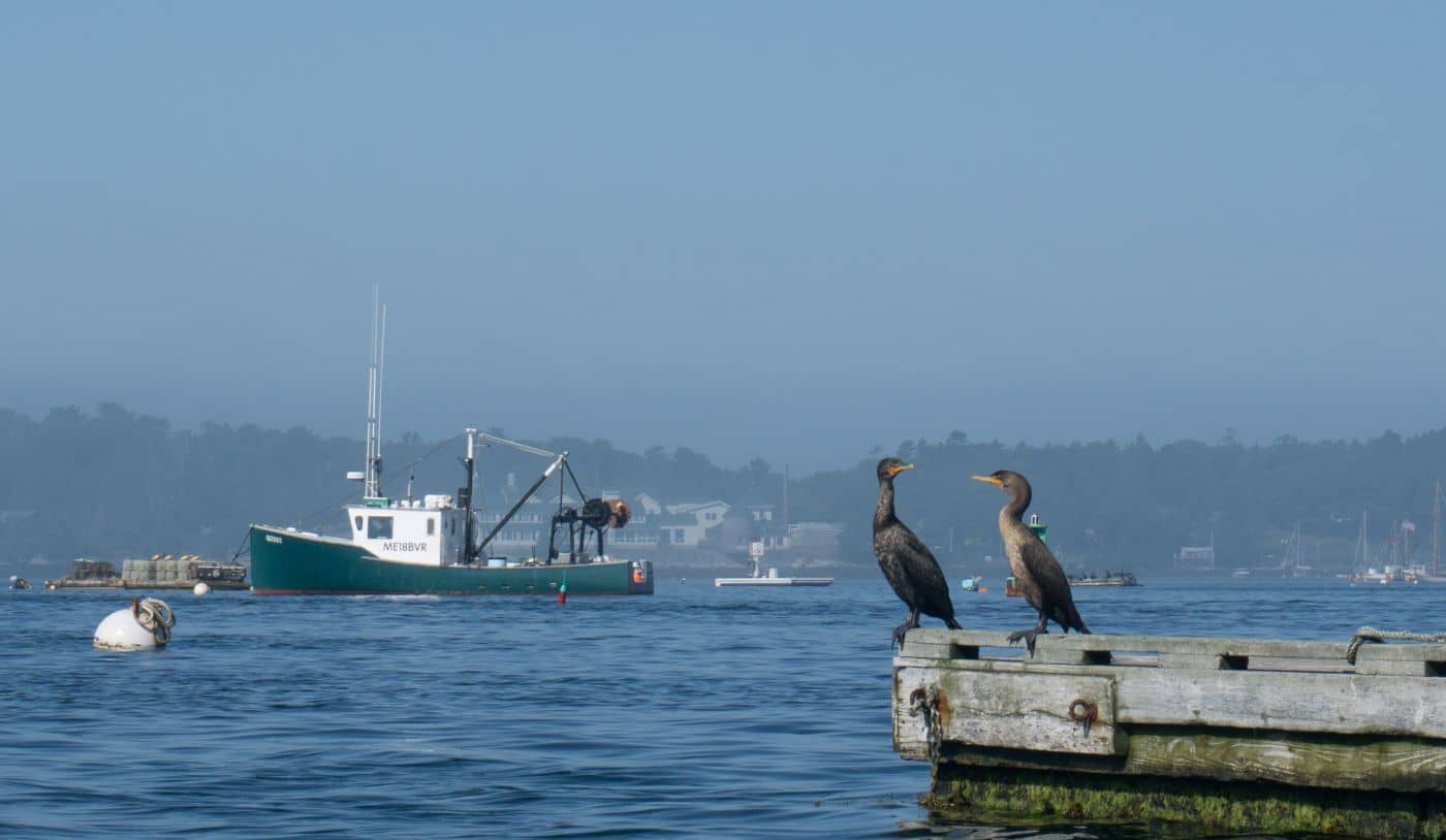
A Midcoast harbor town built around boat trips, with the Coastal Maine Botanical Gardens just up the road.
Midcoast Islands
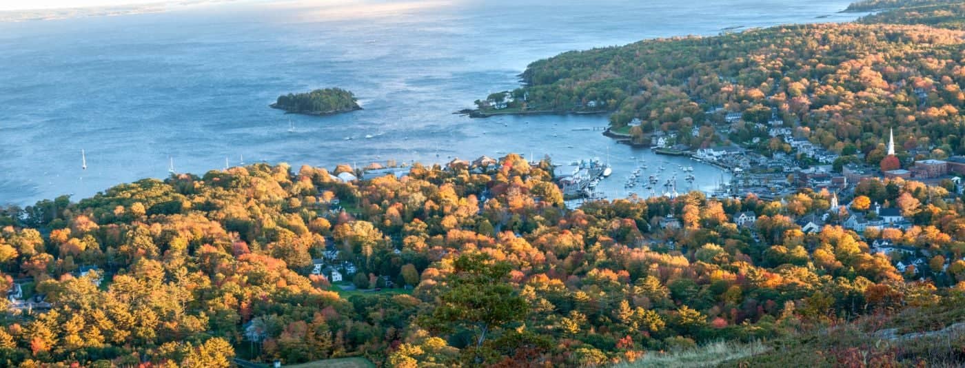
Where the mountains meet the sea - windjammer harbor, Mount Battie summit views, and an independent village with real soul.
Greater Portland
Flagship home of L.L. Bean, open 24/7 - outlets, a tidal river, and surprisingly good eating between the shopping.
Southern Maine Coast
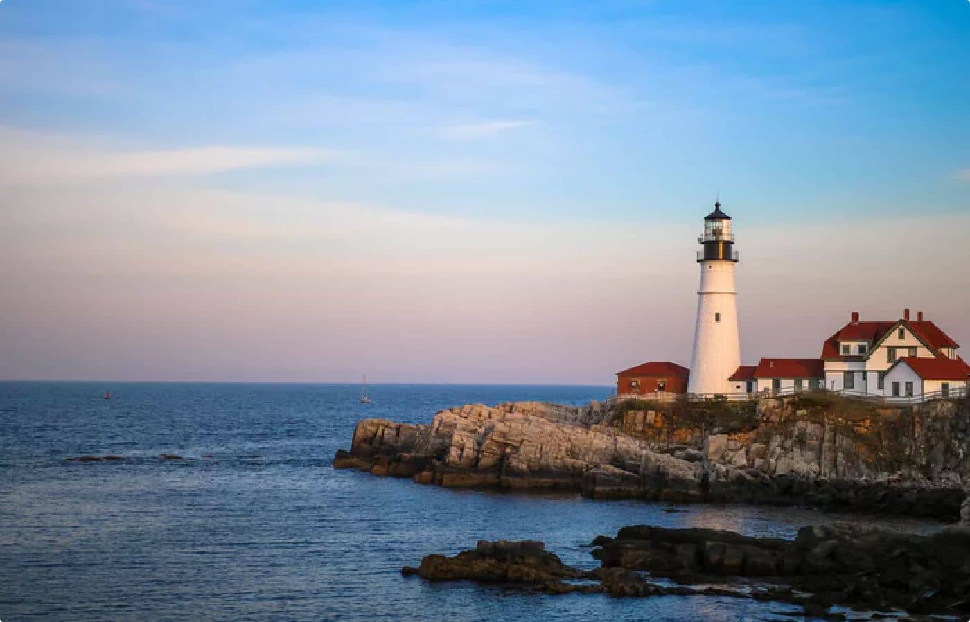
Postcard-perfect village of sea captains' mansions, Lower Village shops, and easy walks to Mother's Beach and Gooch's Beach.