1
Farmington
See main listingUniversity of Maine at Farmington, the annual Farmington Fair, and the drive up Route 27 to Sugarloaf ski country.
Details

Guide
Mt. Blue State Park in Weld, Maine, combines camping and beach access on Webb Lake with a separate mountain area. The campground, boat launch and wooded sites support lakeside stays. Understanding the two areas helps keep a camping day distinct from a mountain hike.
The Mt Blue State Park campground occupies the west shore of Webb Lake in Weld: 136 wooded sites, a sand beach, a boat launch and showers. It is one half of Maine's largest state park, roughly 8,000 acres spread across two areas that the lake keeps apart, which is the single most useful thing to understand before you book. The park rates 4.7 from 532 Google reviews.
Mt Blue State Park is in Weld, in Maine's western mountains, about 20 miles northwest of Farmington. It comes in two pieces:
They are not walkable from one another. Getting between them means driving around the lake. Budget half an hour and stop being surprised by it.
The Bureau of Parks and Lands, the division of Maine's Department of Agriculture, Conservation and Forestry that runs the state parks, operates the campground through the warm season: 136 sites in mixed woods, showers, an RV dumping station and a boat launch, but no hookups: standard across the Maine system, and a regular surprise to anyone in a large rig. Sites are reserved through the state's central service, which releases dates on a rolling window ahead of arrival rather than opening a whole summer at once.
Some of the CCC-built log lean-tos from the 1930s are still in use, which is not a claim many campgrounds can make.
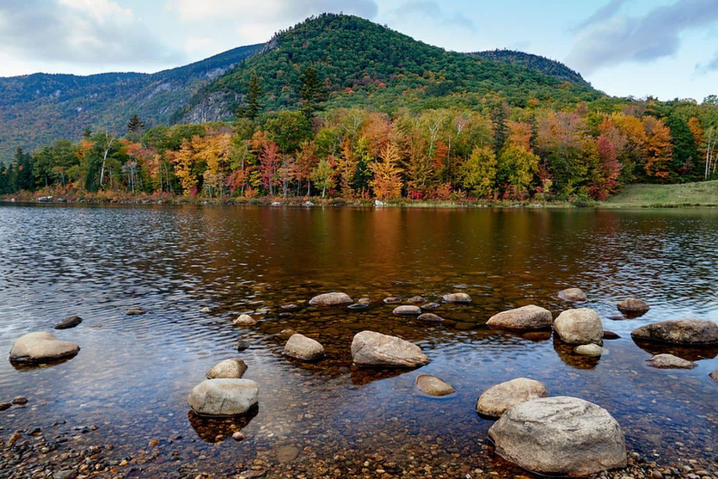
Webb Lake is why most families come. It warms up properly by midsummer (genuinely warmer than the mountain lakes an hour north) and has a sand beach plus a launch for trailered boats. Paddling is good, and the view from the water toward Tumbledown is the one people remember.
Mount Blue is 3,187 feet, and the trail is about 3.2 miles round trip from the trailhead off Center Hill Road. Short and steep: a steady climb for a mile and a half, the last quarter mile hardest. About a mile up you pass a former fire warden's cabin. At the top stands a tall galvanized tower (it reads as a fire tower from below but is a communications installation) with a stairway to a platform some thirty feet up. That platform is the view. The summit itself is grown in with spruce and fir, so the stairs are not optional if you came for the panorama.
The park also abuts Tumbledown Public Land, more than 10,000 acres immediately north, where Tumbledown Mountain is the harder and more celebrated climb in this valley. Camping is not permitted on the Tumbledown parcel.
Beyond the summits there are around 25 miles of mountain bike trail and a short nature loop at Center Hill that works well with kids.
This is one of the few Maine state parks with a real winter program: roughly 15 groomed miles of cross-country ski trail, snowshoeing, snowmobile access, sledding at Center Hill, an outdoor rink and a heated yurt at headquarters. The park stays open year-round, morning to sunset, unlike most of the system.
The honest drawbacks. The split geography is the real one: a family camping at Webb Beach who wants to climb Mount Blue faces a drive each way, and people routinely underestimate it. Blackflies own late May and June here, and they are not a rumor. And Weld is small: fuel, groceries and a pharmacy mean a trip toward Farmington, so provision before you arrive.
Mt Blue is not an old scenic reserve. It is a Depression-era buyout, and the park's shape is a direct record of that.
Through the 1930s the federal government bought 51 separate parcels here under the Resettlement Administration's Land Utilization Project: a program that purchased worn-out farmland from families who could no longer live on it, retired the fields, and moved the households elsewhere. Western Maine hill farms were exactly the target: thin soil, short season, steep ground cleared a century earlier that probably never should have been.
What made the land useless for farming made it good for recreation. The Works Progress Administration built the roads; the Civilian Conservation Corps built the log lean-tos campers still sleep in. In 1955 the U.S. Department of Agriculture handed the whole thing to the State of Maine, and later purchases pushed it to roughly 8,200 acres.
That origin explains the park's two odd features. It is enormous, because the government was buying whole failed farms rather than assembling a viewpoint. And it is split around a lake, because the available parcels were the ones nobody could farm, not a boundary anyone would draw on purpose. Walk these woods and the evidence is still there: stone walls running through mature forest, cellar holes, apple trees far from any house. The forest is younger than it looks.
For the wider region see Rangeley and our guides to mountain hikes in Maine, camping in Maine state parks, Rangeley Lake State Park and Maine in winter.
136, in mixed woods at Webb Beach on the west shore of Webb Lake, with showers and an RV dumping station but no water or electric hookups. Several log lean-tos date to Civilian Conservation Corps work in the 1930s. Reservations go through Maine's central state park service on a rolling booking window.
Short and steep rather than long: roughly 3.2 miles round trip with a sustained climb, the final quarter mile steepest. Most reasonably fit walkers take two and a half to three and a half hours. The summit is wooded, so the view comes from the tower stairway at the top.
Yes. Webb Beach has sand on Webb Lake, and because the lake sits lower and shallower than the big lakes further north, it actually warms up by midsummer. There is also a trailered boat launch and good flatwater paddling.
Yes, and it is one of the better winter state parks in Maine: around 15 groomed miles of cross-country skiing, snowshoe routes, snowmobile access, sledding at Center Hill and a heated yurt at headquarters. The campground is a summer operation, but the park itself does not close.
University of Maine at Farmington, the annual Farmington Fair, and the drive up Route 27 to Sugarloaf ski country.
Tools
Guides
Destinations

Downeast & Acadia
Gateway to Acadia National Park - Cadillac Mountain, puffin cruises, and a harbor town that fills with cruise ships from May to October.
Southern Maine Coast
Dock Square boutiques, Goose Rocks Beach, and the Bush family's Walker's Point - the quintessential coastal Maine summer town.
Greater Portland
Maine's largest city - a working waterfront, Old Port cobblestones, and a food scene that punches well above its weight.
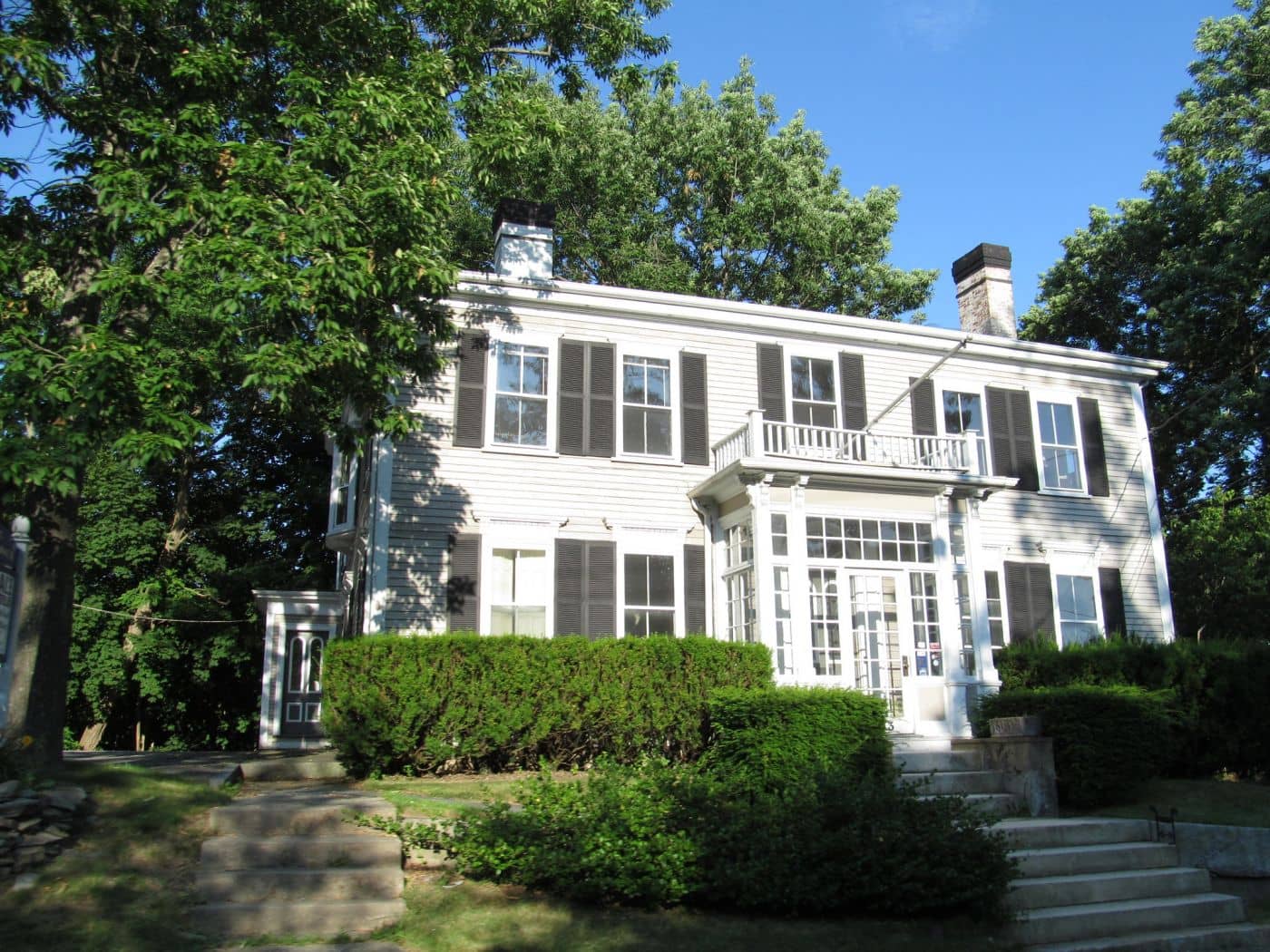
Midcoast Islands
Shipbuilding heart of Maine since 1743 - Bath Iron Works still launches destroyers past the Maine Maritime Museum on the Kennebec.
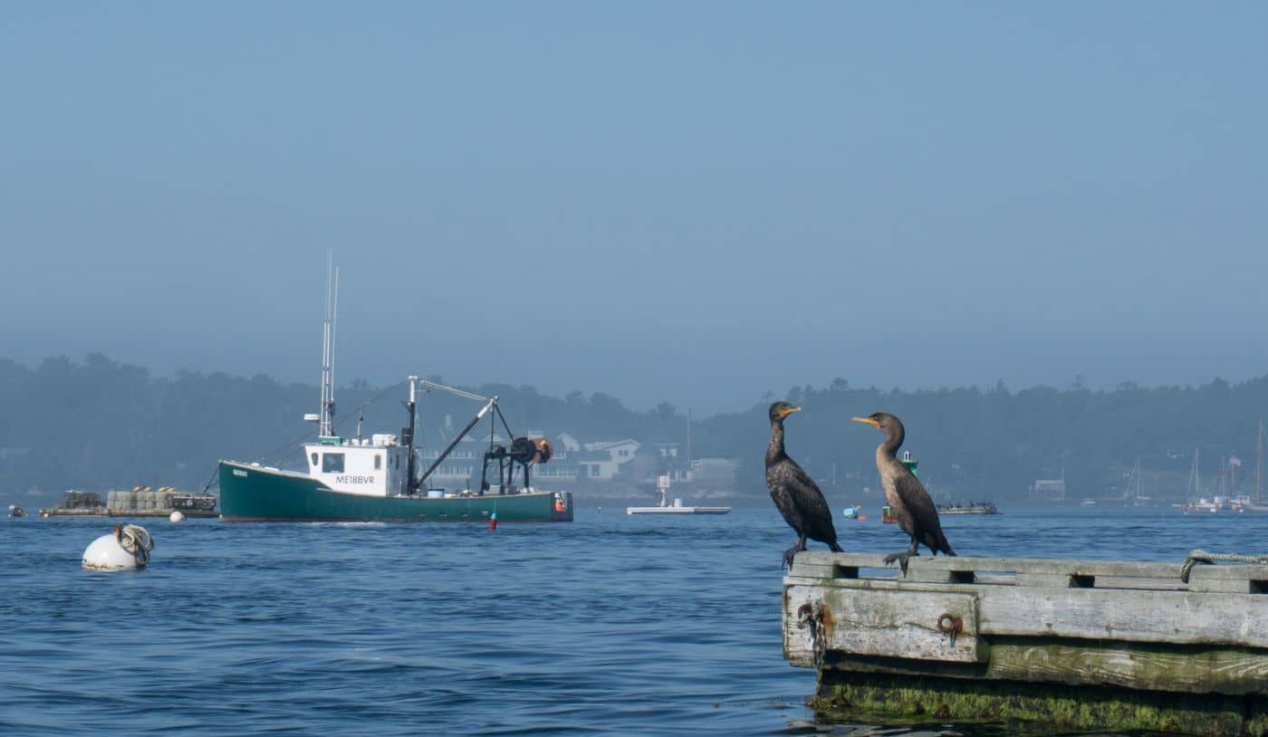
Midcoast Islands
A Midcoast harbor town built around boat trips, with the Coastal Maine Botanical Gardens just up the road.
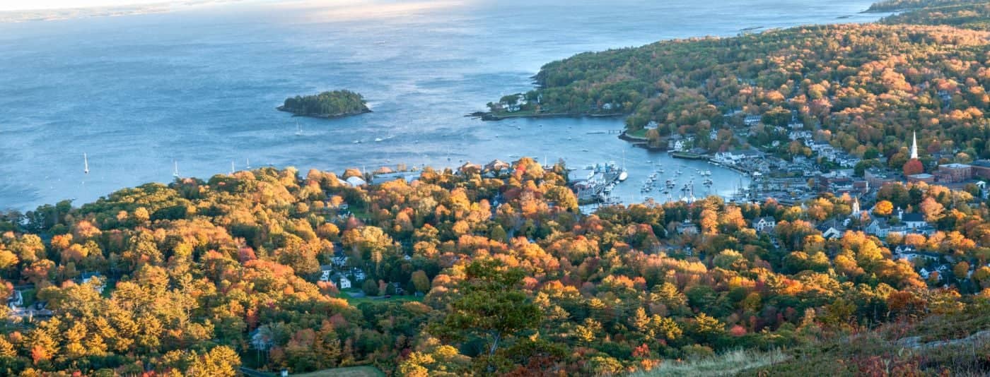
Midcoast Islands
Where the mountains meet the sea - windjammer harbor, Mount Battie summit views, and an independent village with real soul.
Greater Portland
Flagship home of L.L. Bean, open 24/7 - outlets, a tidal river, and surprisingly good eating between the shopping.
Southern Maine Coast
Postcard-perfect village of sea captains' mansions, Lower Village shops, and easy walks to Mother's Beach and Gooch's Beach.