1
Saco
See main listingFuntown Splashtown, Ferry Beach's maritime pine forest, and a tidy Main Street connecting downtown to the ocean.
Details

Guide
The Saco River is the reason western Maine has white sand beaches an hour and a half from the ocean. It rises in New Hampshire's Crawford Notch and runs about 135 miles southeast to the Atlantic, and along one long stretch of that route it slows down, widens out and drops sand, producing a flatwater float that is one of the most popular summer activities in the state and one of the most frequently misjudged.
The Saco starts at Saco Lake in Crawford Notch, high in the White Mountains, and runs southeast through New Hampshire into Maine, crossing the border near Fryeburg. From there it loops through the broad Fryeburg intervale, tightens through Brownfield and Hiram, and then drops through a series of dams before reaching the sea at Camp Ellis in Saco, with Biddeford on the opposite bank.
That is three quite different rivers wearing one name:
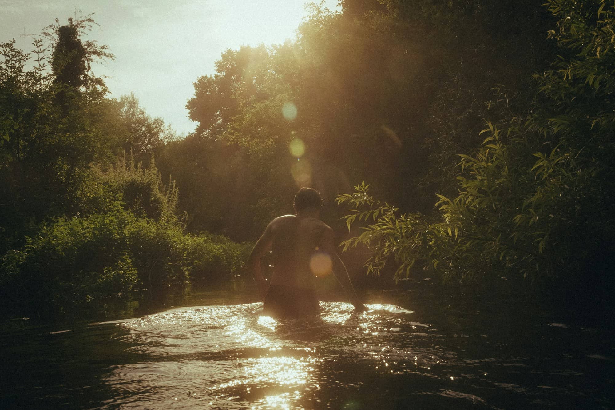
The section that matters for a summer day runs roughly from Swans Falls in Fryeburg downstream through Brownfield toward Hiram. Along here the river meanders in long loops across a flat valley floor, depositing sandbars and beaches on the inside of every bend. Canoes, kayaks and tubes all work; outfitters in Fryeburg, Brownfield and Hiram rent gear and run shuttles, so you can float one-way and get a ride back to your car.
Four things people consistently get wrong:
Westons Beach on River St in Fryeburg (4.6 from 141 reviews) is the easiest place to see this part of the river without committing to a float. A sand beach on the bank with road access.
This is the part that gets left out of every listing, and it is the whole explanation for the Saco's character.
Most Maine rivers run over bedrock and cobble because the glaciers scoured the state down to granite. The Saco valley around Fryeburg is different: as the last ice sheet retreated, meltwater dumped enormous volumes of sand and gravel into this basin, building a flat, deep outwash plain. The river has been rearranging that deposit ever since. It has no rock to cut through, so instead it wanders: cutting new channels, abandoning old ones, and moving sand from the outside of one bend to the inside of the next.
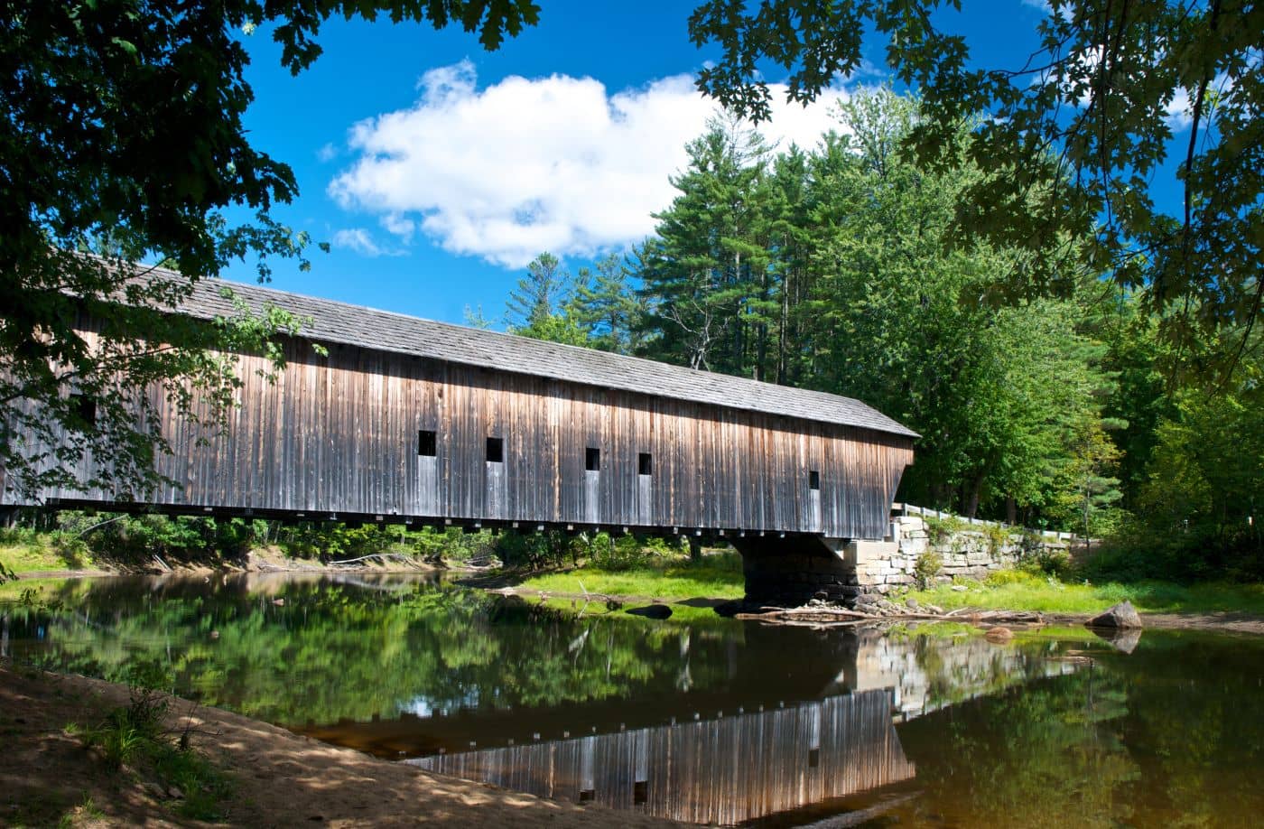
You can read the history of that wandering in the landscape. The Historic Hemlock Covered Bridge in East Fryeburg (4.7 from 170 reviews) crosses what is now an old, cut-off channel rather than the main river, because the Saco moved after the bridge was built. It is a nine-mile drive from Fryeburg village, free to visit, and the single best illustration of what this river does. Our guide to Maine's historic bridges covers others in the same family.
Where the Saco reaches the coast it did the opposite kind of work. The falls at Saco and Biddeford powered one of the largest textile complexes in New England, and the brick mill blocks on both banks (now apartments, restaurants and offices) exist because of the head of water the river provided. That industrial past is why these are cities rather than beach villages, and why the downtowns feel nothing like the coastal towns fifteen minutes north.
The mouth of the river carries a harder lesson. In the nineteenth century a long stone jetty was built out from Camp Ellis to keep the navigation channel clear. It worked, and it also interrupted the natural southward drift of sand along the shore. Camp Ellis Beach has been eroding ever since. Houses lost, seawalls built, engineering studies stacked up over decades. It is one of the most-studied coastal erosion sites in the Northeast, and standing there and looking at the jetty tells you more about how coasts work than any interpretive sign.
Real, well-reviewed places at both ends of the Saco:
More at things to do in Saco, and for the beach town next door, Old Orchard Beach.
The stretch from Swans Falls in Fryeburg downstream through Brownfield toward Hiram is the classic run: slow current, sandy bottom and beaches on nearly every bend. Outfitters in those towns rent tubes and boats and run shuttles, which is the practical way to do a one-way float without leaving two cars.
Longer than the distance suggests, because the current in the sandy section is slow. Plan on four to five hours for a stretch that looks like a two-hour paddle, and more in low water. Take more water and sunscreen than feels necessary. There is very little shade on the river and no way to shorten the trip once you have started.
Sandbar camping is a long tradition here, but it is regulated, and the rules differ by town and have tightened over the years in response to crowding and litter. Some sections restrict camping, alcohol or glass entirely. Check current regulations with the relevant town office or your outfitter before planning an overnight rather than assuming the tradition still applies everywhere.
It rises at Saco Lake in Crawford Notch, New Hampshire, high in the White Mountains, and runs roughly 135 miles southeast through both states before entering the Atlantic at Camp Ellis in Saco, Maine. Along the way it changes from a fast mountain stream to a slow sand-bottomed river to a dammed industrial waterway.
Funtown Splashtown, Ferry Beach's maritime pine forest, and a tidy Main Street connecting downtown to the ocean.
A Saco River town on the New Hampshire line, known for canoeing, covered bridges and Maine's largest agricultural fair.
Tools
Guides

Destinations

Downeast & Acadia
Gateway to Acadia National Park - Cadillac Mountain, puffin cruises, and a harbor town that fills with cruise ships from May to October.
Southern Maine Coast
Dock Square boutiques, Goose Rocks Beach, and the Bush family's Walker's Point - the quintessential coastal Maine summer town.
Greater Portland
Maine's largest city - a working waterfront, Old Port cobblestones, and a food scene that punches well above its weight.
Midcoast Islands
Shipbuilding heart of Maine since 1743 - Bath Iron Works still launches destroyers past the Maine Maritime Museum on the Kennebec.
Midcoast Islands
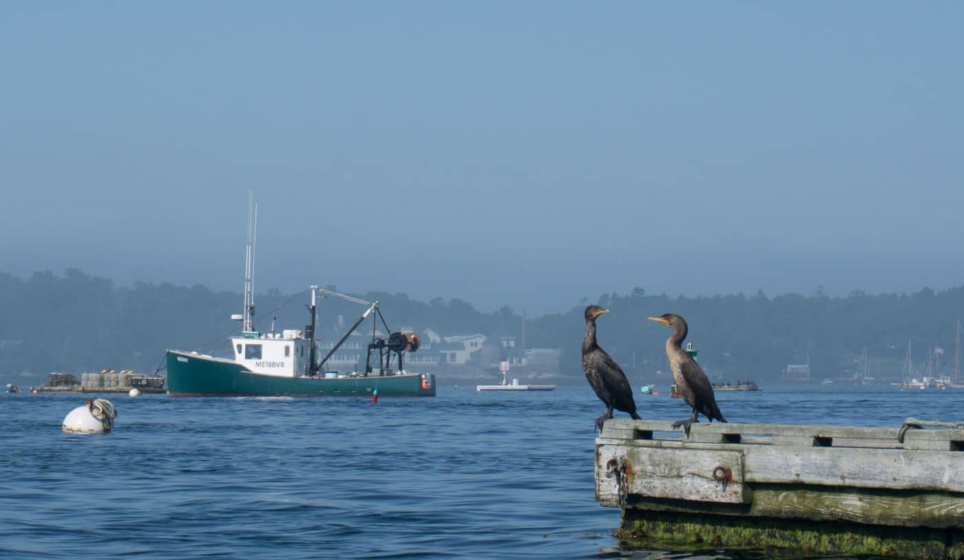
A Midcoast harbor town built around boat trips, with the Coastal Maine Botanical Gardens just up the road.
Midcoast Islands
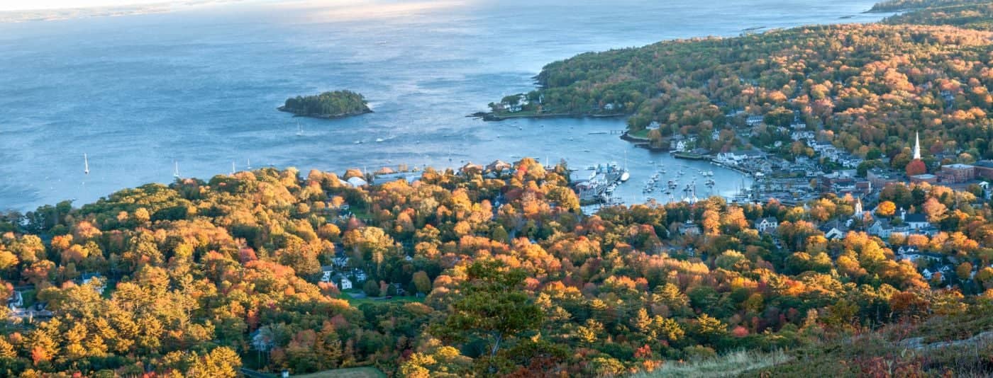
Where the mountains meet the sea - windjammer harbor, Mount Battie summit views, and an independent village with real soul.
Greater Portland
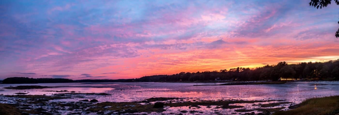
Flagship home of L.L. Bean, open 24/7 - outlets, a tidal river, and surprisingly good eating between the shopping.
Southern Maine Coast
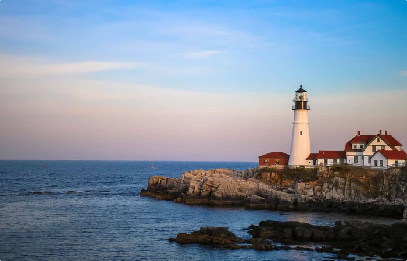
Postcard-perfect village of sea captains' mansions, Lower Village shops, and easy walks to Mother's Beach and Gooch's Beach.