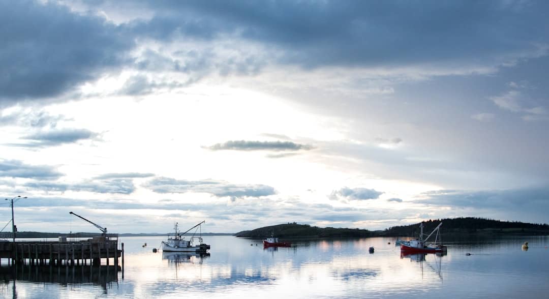
Lubec, Maine: Things to Do, Stay & Eat
Lubec, Maine, sits at the far eastern edge of the state's coast, with a compact village and the striped lighthouse at West Quoddy Head beyond it. A worthwhile visit leaves time for both the town and the headlands. Come prepared for fog and changing coastal weather, and treat a trip across the bridge to Canada as a separate part of the plan.
Quick facts
- Region
- Downeast & Acadia, Maine
- Best months and seasons
- June through September is the practical season, and it is worth noting that fog is common here even in high summer.
- Nearest airport:
- Hancock County–Bar Harbor Airport (Trenton) (BHB), about 74 miles in a straight line.
- Top draws
- West Quoddy Head Lighthouse; Quoddy Head State Park; Roosevelt Campobello International Park
- Nearby towns
- Eastport, Maine
For more trip planning, see Things to Do in Eastport, Maine: Bay, Streets and Arts.
Lubec is the easternmost town in the continental United States, and the red-and-white striped tower at West Quoddy Head is the first place in the country to catch the sunrise for part of the year. It is a small, weathered town on a narrow neck of land, with a bridge to Canada at the end of its main street.
Like Eastport across the bay, Lubec was a sardine town, at its peak it had more than twenty canneries. All of them are gone. What is left is a quiet grid above the water with a strong sense of being at the edge of something.
The Cutler Coast route planner compares Ocean Overlook, Black Point Brook and Fairy Head, with a separate plan for backcountry camping.
What Lubec is known for
West Quoddy Head Lighthouse (4.9 across 1,488 Google reviews) is the landmark, and unusually for a Maine light it is genuinely set up for visitors, with a visitor center in the keeper's house and trails along the cliffs. It sits inside Quoddy Head State Park (4.9 from 1,387 reviews), which is the real reason to spend a day. The coastal trail runs along high headlands with views to Grand Manan, through a rare coastal bog.
The other draw is Campobello Island, reached by the bridge from downtown. Roosevelt Campobello International Park preserves the Roosevelt family's summer home and is jointly run by the US and Canada. It is in New Brunswick, so bring a passport.
Things to do
Walk the coastal trail at Quoddy Head, cross to Campobello, and watch the tide, which here runs among the highest in the country. Cobscook Bay State Park (4.6 across 201 Google reviews) and Roque Bluffs State Park (4.7 from 628 reviews) are both within reach and both quiet.
The Public House (4.6 from 205 reviews) is the reliable option for a meal in a town where choices are limited.
Getting here and when to go
Lubec is at the end of Route 189, about two and a half hours east of Ellsworth. There is no quick way; that is part of the point.
June through September is the practical season, and it is worth noting that fog is common here even in high summer. Winter closes most of the town.
Planning notes
Things to do
About Lubec
Lubec is a town in Washington County, Maine. The 2020 Census municipal table records 1,237 residents for Lubec town. The Lubec municipal website provides town-office contacts, public records and community notices.
Visit West Quoddy Head
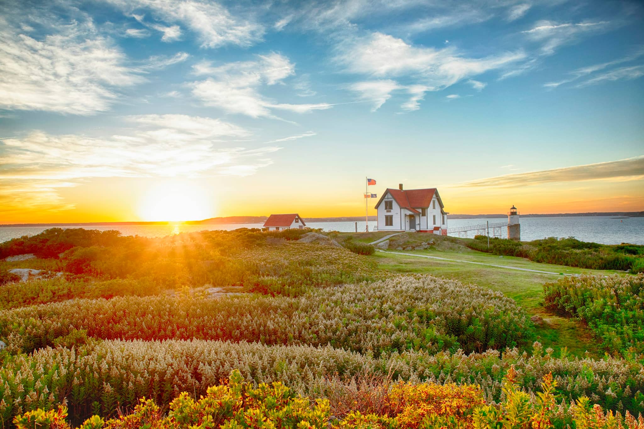
The red-and-white lighthouse gives the headland its familiar appearance, but the setting is more than a photograph. Choose a visit to the grounds and the park's coastal landscape, adding the visitor center only when it is open. The light tower and the visitor-center spaces have different access arrangements.
Walk the park's coastal and bog trails
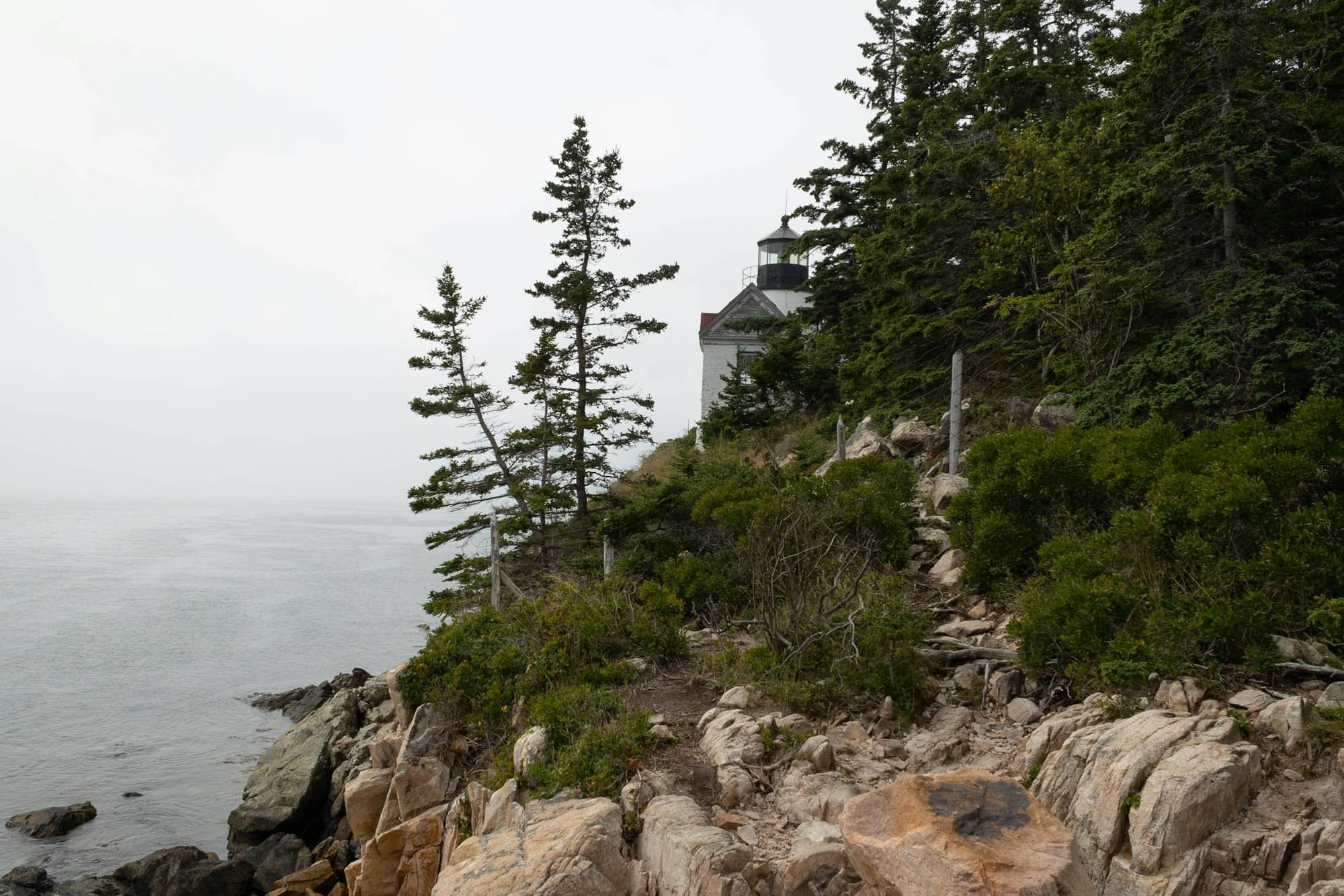
Quoddy Head State Park offers routes through forest, bog habitat and exposed coastal scenery. Match the route to the map and conditions; a cliff walk requires more attention than a village pavement. Stay back from exposed edges, protect the bog by using its designated route and bring layers even during summer.
Explore the village or plan Campobello separately
Lubec's streets and waterfront reflect a fishing and fish-processing past. A village walk can be a useful part of a foggy day. The bridge reaches Campobello Island in New Brunswick, home to Roosevelt Campobello International Park. That is an international crossing, with entry and return requirements rather than simply another Maine attraction.
Getting there and around
Route 189 connects Lubec with the wider Route 1 corridor. The lighthouse and park are a separate drive from the village. For Campobello, use the official park and border information appropriate to your citizenship and return route; avoid assuming a document accepted on one past trip will cover every traveler.
When to visit
Summer and early fall offer the broadest visitor-service choices, but fog and wind can alter any coastal day. Keep a village or indoor alternative to an exposed walk. Outside the main season, arrange lodging, meals and specific access first rather than interpreting the town as entirely closed.
Common questions
Is Lubec the easternmost town in the United States?
Yes, in the contiguous United States.
West Quoddy Head, just outside the village, is the easternmost point of land in the lower 48, which is why the drive out here feels like reaching the end of something.
Why is West Quoddy Head Lighthouse striped?
The red-and-white bands are a daymark, a paint scheme that makes the tower readable against sky, snow and fog when the light itself is not doing the work.
Fog is a near-constant on this coast, so the contrast earns its keep.
The candy-stripe pattern is rare in the United States, and it is most of the reason the lighthouse gets photographed so often.
Can you cross to Campobello Island from Lubec?
Yes.
A bridge links Lubec directly to Campobello Island, and it is the only road crossing to the island from the American side.
This is an international border with Canada, so everyone needs a passport or equivalent document in both directions.
How big are the tides in Lubec?
Dramatic.
Lubec sits in the Bay of Fundy tidal system, and the range here is among the largest anywhere in the country.
A harbor that looks full at high water drains to mud and ledge a few hours later, which changes what you can launch, land or walk out to.
Plan kayaking, clamming and shoreline walks from a tide chart.
If the next part of the stay centers on river history rather than a headland, compare the Calais stopover plan.