
1
Lubec
See main listingThe easternmost town in the continental US, with West Quoddy Head Light and a bridge to Campobello Island.
Details

Guide
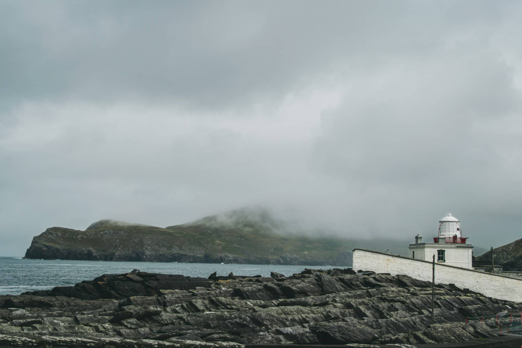
Quoddy Head State Park is a coastal headland in Lubec, Maine, beside the red-and-white West Quoddy Head Light. Cliff trails, forest and a bog boardwalk provide different ways to explore the park. Fog, exposed edges and the distance from other coastal towns shape a visit.
Quoddy Head State Park is 541 acres on the easternmost point of land in the United States, at the end of South Lubec Road in Lubec. The red-and-white striped lighthouse on the headland is the most recognizable in Maine, and the park behind it holds cliff-edge trail, a subarctic bog on a boardwalk, and a view across open water to the cliffs of Canada. It rates 4.9 from 1,387 Google reviews; the lighthouse itself 4.9 from 1,488.
The park is at 973 South Lubec Road, off Route 189, about six miles beyond Lubec village. Four interconnected trails run from 0.75 to 4 miles round trip. There is a picnic area and a visitor center in the keeper's house, and that is the extent of it. No campground, no food, no store.
Across the channel you are looking at New Brunswick: the red cliffs of Grand Manan Island to the east, Campobello to the north. The border runs through the water in front of you.
The Bureau of Parks and Lands, the division of Maine's Department of Agriculture, Conservation and Forestry that runs the state parks, opens Quoddy Head for a season running roughly mid-May to mid-October, morning to sunset, with a day-use fee at the gate that is lower for Maine residents. Current amounts are on maine.gov. Off season you can park outside the gate and walk in during daylight; the facilities are closed but the headland is not.
Camping is prohibited inside the park. The nearest state park campground is Cobscook Bay, about thirty-five minutes northwest, booked like all Maine state park sites through the state's central reservation service on a rolling window.
Trails. The Coastal Trail is the one people come for: about four miles round trip along the cliff edge, with steep and rocky sections and no guardrail between you and a long drop. It is not technical, but it is not a stroll, and it is genuinely dangerous in ice or heavy fog. The Bog Trail is a mile round trip on raised boardwalk with interpretive signs, and it is the more unusual walk of the two, a coastal plateau bog of the kind that normally requires driving a great deal further north, with the acid-loving, nutrient-starved plants that go with it. Stay on the boardwalk. The vegetation here takes decades to recover from a footprint.
Wildlife. Finback and minke whales pass offshore in late summer, harbor porpoises constantly, and the seabird and sea duck watching is among the best shore-based birding in Maine. Bald eagles are routine.
The honest drawbacks. Three, and they are all real. Fog is the first: this is one of the foggiest headlands on the East Coast, and it is entirely possible to drive five hours and stand fifty feet from the lighthouse without seeing the ocean. Build in a spare day if you can. Distance is the second: Lubec is roughly five hours from Portland and well over two from Bar Harbor, on roads that do not hurry. And you cannot climb the tower: the light is an active aid to navigation, and public access is to the grounds and the keeper's house museum, not up the stairs.
Congress authorized a light at West Quoddy Head in 1806, and the first tower was finished in 1808, under Thomas Jefferson. That is very early. The young republic was placing lights at the points where its shipping was actually dying, and this headland qualified.
The reason is in the water. The Bay of Fundy funnels one of the greatest tidal ranges on Earth, and the effect reaches here: tides at Lubec run to something near twenty feet, among the largest in the continental United States. Twenty feet of vertical water moving twice a day through a narrow channel produces current, not just depth: rips, whirlpools and a set that can carry a vessel sideways faster than it can steer. Add fog, add ledge, and you have the case for a lighthouse.
You also have the case for a fog signal, which is where this station gets interesting. In 1820 Congress paid for a 500-pound bell here: one of the earliest fog signals in the country, in an era when the alternative was a keeper firing a gun into the murk and hoping. Sound was doing the work that light could not.
The tower standing today dates from an 1858 rebuild: 49 feet tall, its lamp 83 feet above the sea, painted in fifteen horizontal red and white bands. Those stripes are not decoration. A white tower is invisible against fog and snow, and the banding gives the structure a daymark that reads at distance in bad light. Inside is a third-order Fresnel lens: the only third-order lens still working on the Maine coast, and one of only about eight Fresnels of any size still in service in the state. The station was automated in 1988 and listed on the National Register of Historic Places in 1980. The keeper's house now runs as a seasonal visitor center and museum.
One geographic note worth getting right: this is the easternmost point of the contiguous United States, and the tower is the easternmost building in the country, but the sunrise claim people repeat here is more complicated than it sounds, because for part of the year Cadillac Mountain's height gets first light instead. Quoddy Head wins on longitude, not always on the clock.
For the region see Lubec and Eastport, plus our Downeast Maine guide and the statewide Maine lighthouses roundup.
No. The tower is an active navigational aid and is not open for climbing. What you can do is walk the grounds right up to its base and visit the museum in the keeper's house, which runs on a summer-into-October schedule. The third-order Fresnel lens inside the lantern is still the working optic.
It is the easternmost point of the contiguous United States, and the lighthouse is the easternmost building in the country. Parts of Alaska cross the 180th meridian and technically sit further east, which is the sort of fact that ends arguments rather than starting them.
Four interconnected routes from about 0.75 to 4 miles round trip. The Coastal Trail is the long one, running the cliff edge with steep and rocky stretches and no railings. The Bog Trail is a one-mile boardwalk loop and the most distinctive walk in the park.
Late August through early October. The fog that dominates June and July eases, whales are still offshore, the crowds are thin and the light on the cliffs is at its best. The park's staffed season closes around mid-October, though you can still walk in outside it.
The easternmost town in the continental US, with West Quoddy Head Light and a bridge to Campobello Island.
Tools
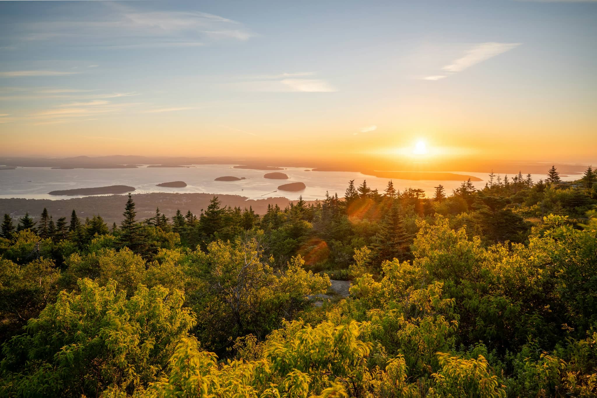
Which Maine summit or headland catches the first light in the country today, and why the answer changes through the year.
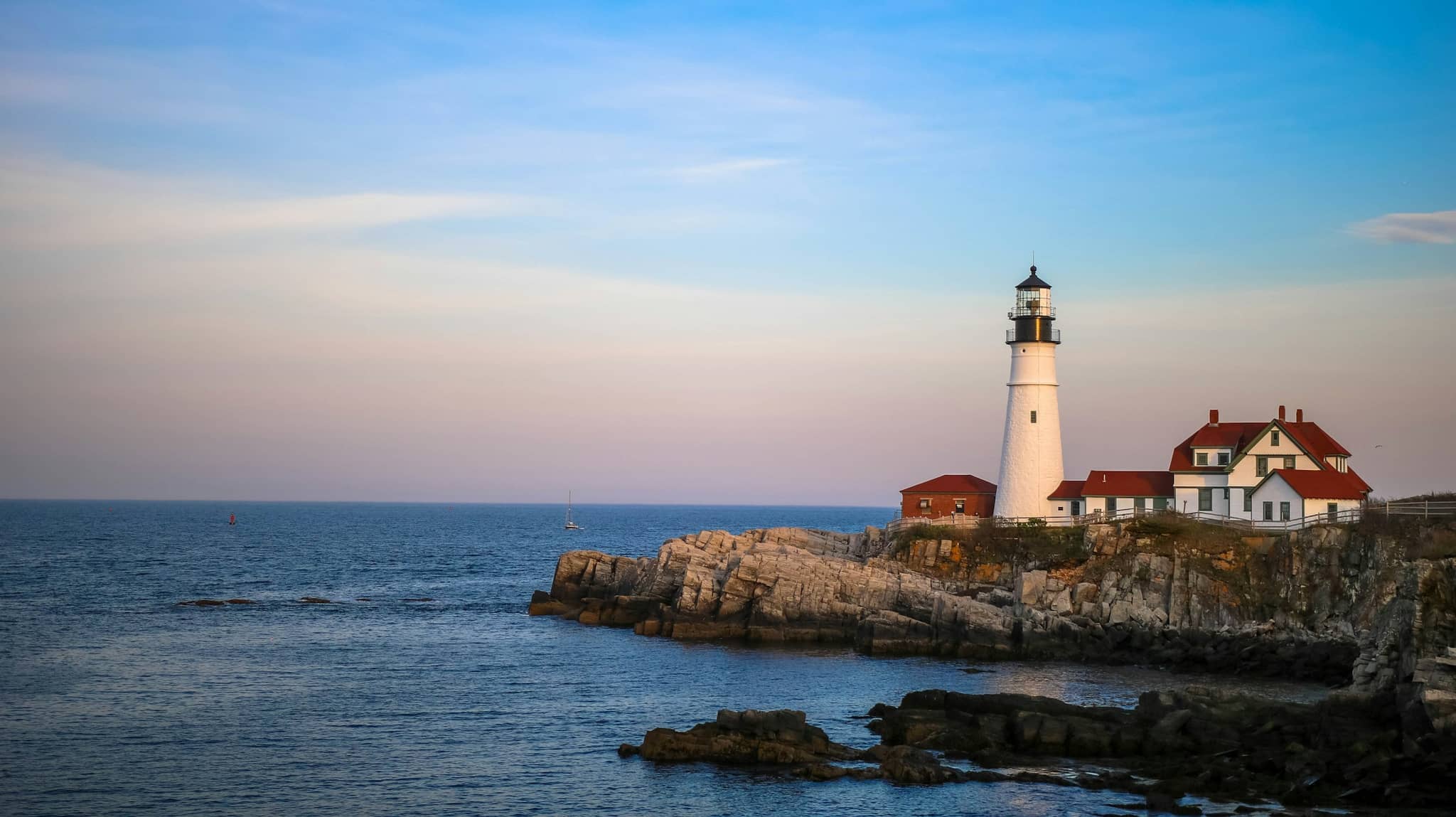
All 40 visitable Maine lighthouses ordered by review volume, with the parking lots and viewpoint parks separated out.
Guides
Destinations

Downeast & Acadia
Gateway to Acadia National Park - Cadillac Mountain, puffin cruises, and a harbor town that fills with cruise ships from May to October.
Southern Maine Coast
Dock Square boutiques, Goose Rocks Beach, and the Bush family's Walker's Point - the quintessential coastal Maine summer town.
Greater Portland
Maine's largest city - a working waterfront, Old Port cobblestones, and a food scene that punches well above its weight.
Midcoast Islands
Shipbuilding heart of Maine since 1743 - Bath Iron Works still launches destroyers past the Maine Maritime Museum on the Kennebec.
Midcoast Islands
A Midcoast harbor town built around boat trips, with the Coastal Maine Botanical Gardens just up the road.
Midcoast Islands
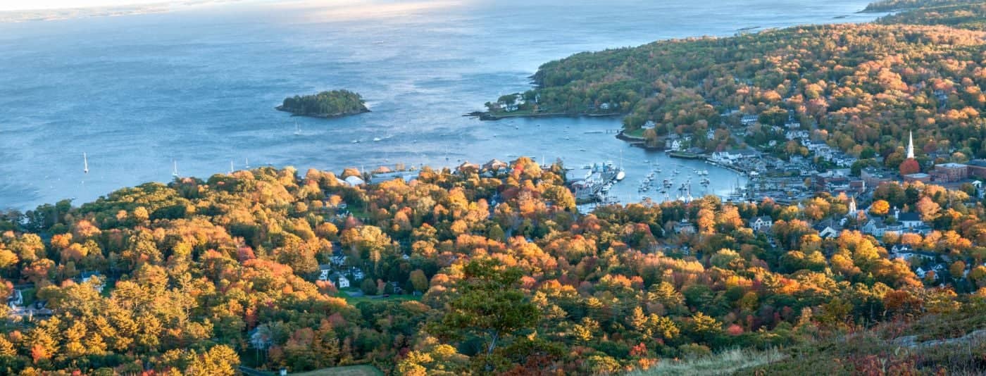
Where the mountains meet the sea - windjammer harbor, Mount Battie summit views, and an independent village with real soul.
Greater Portland
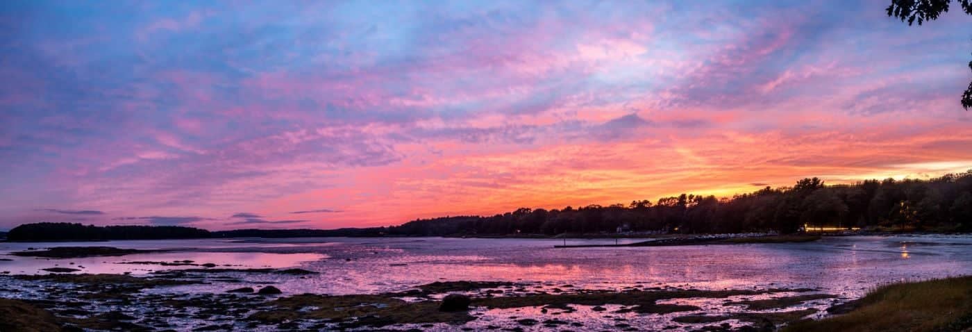
Flagship home of L.L. Bean, open 24/7 - outlets, a tidal river, and surprisingly good eating between the shopping.
Southern Maine Coast
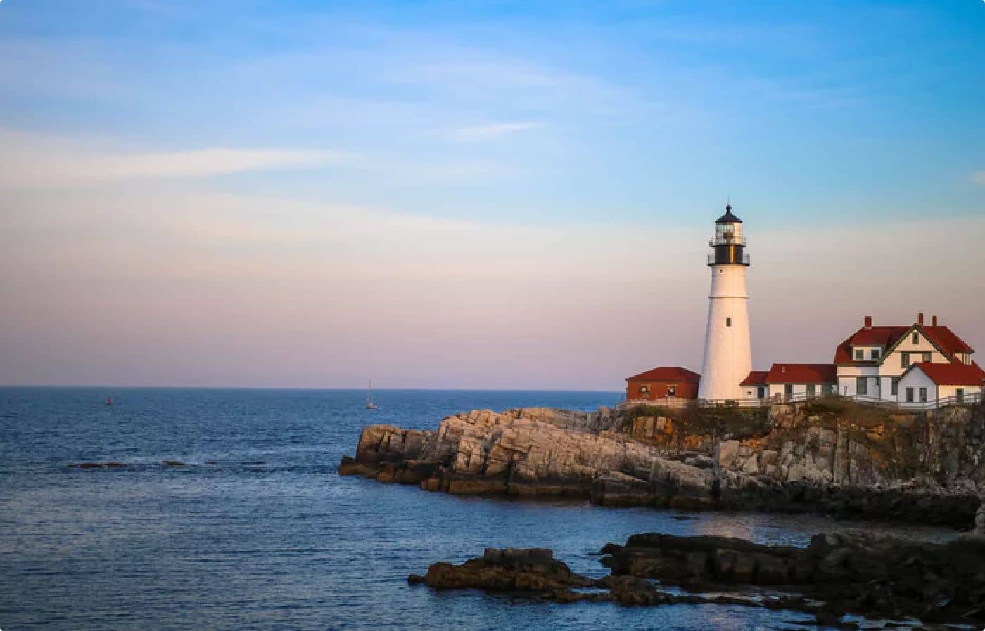
Postcard-perfect village of sea captains' mansions, Lower Village shops, and easy walks to Mother's Beach and Gooch's Beach.