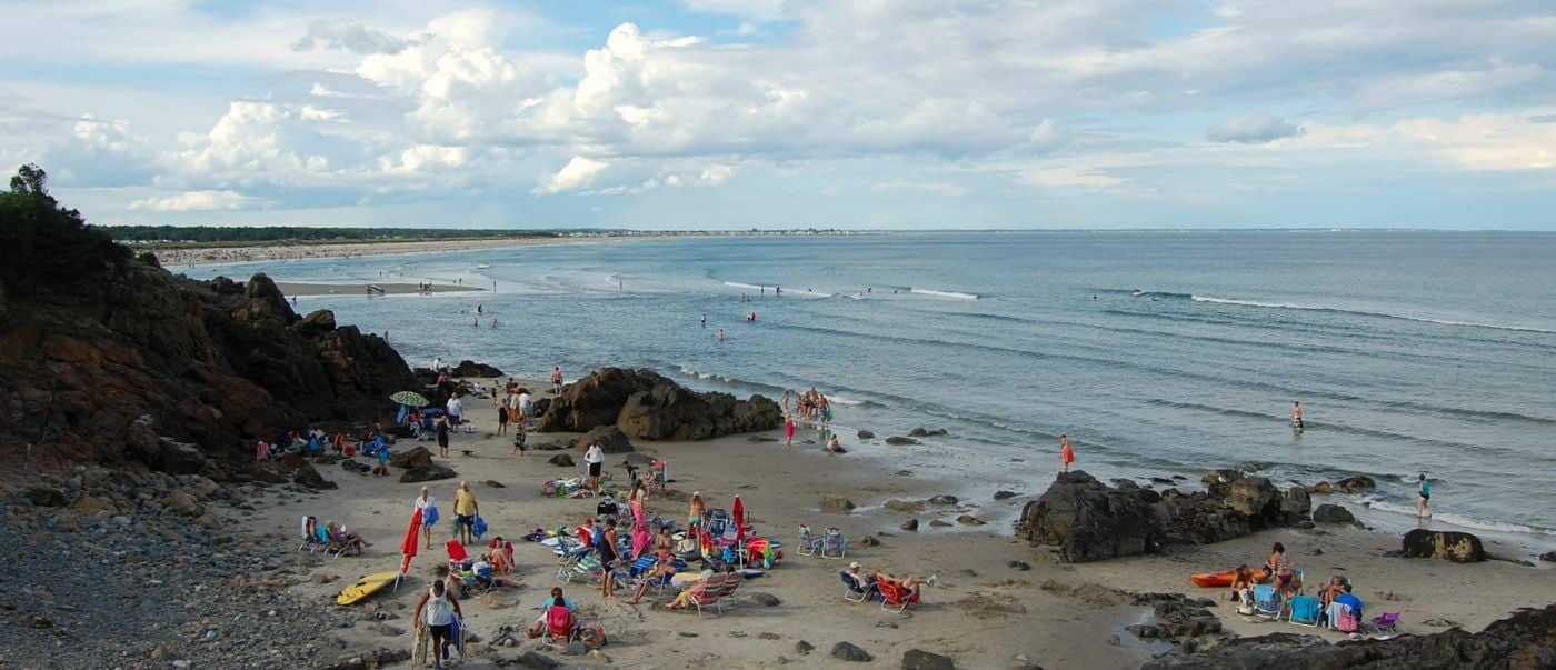
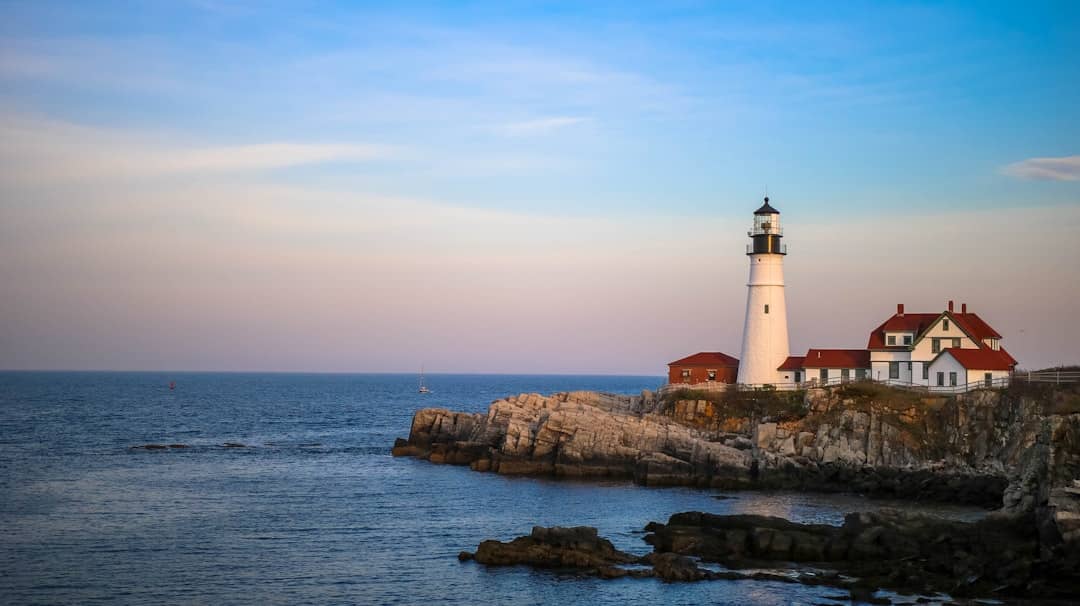
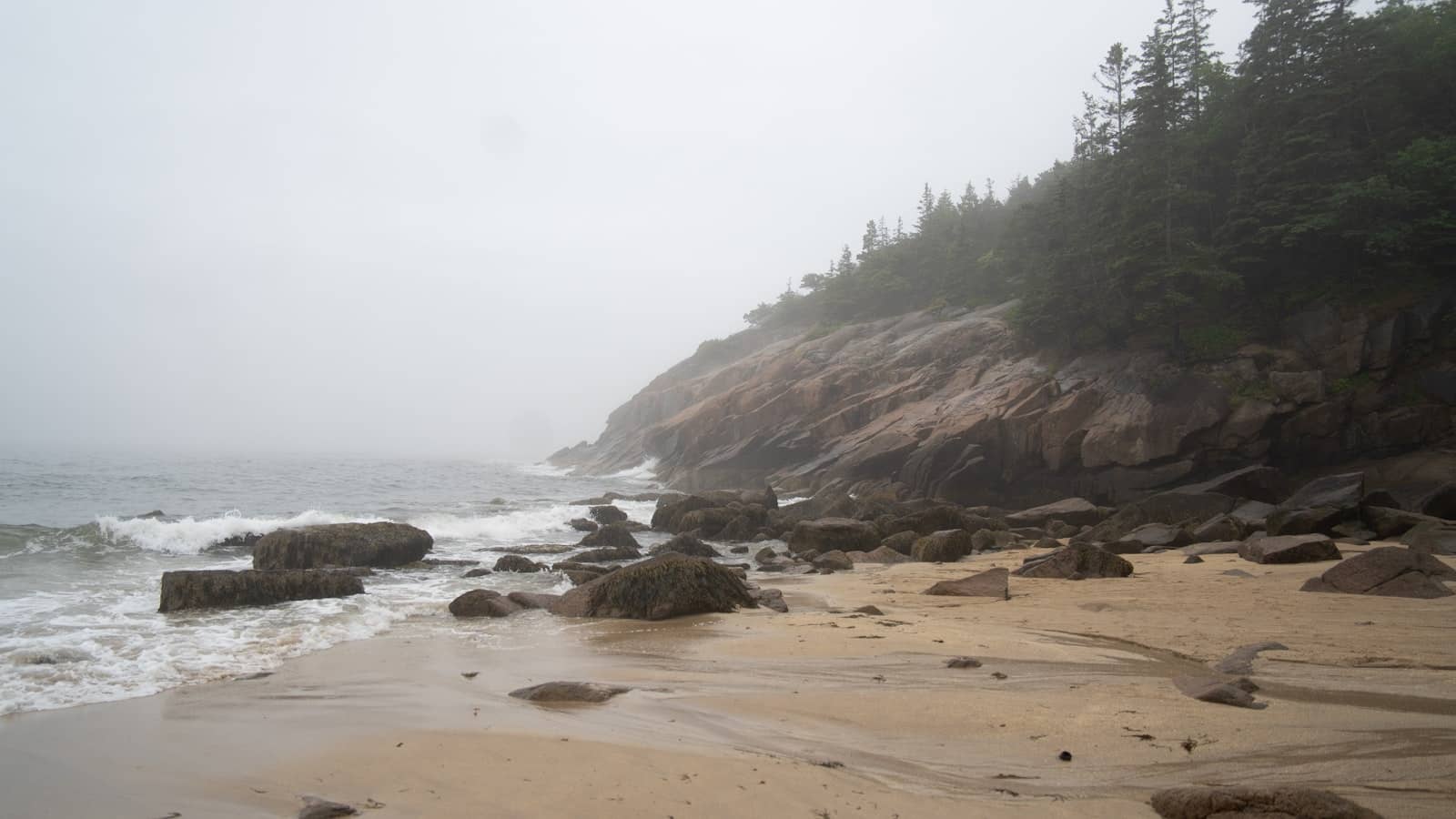
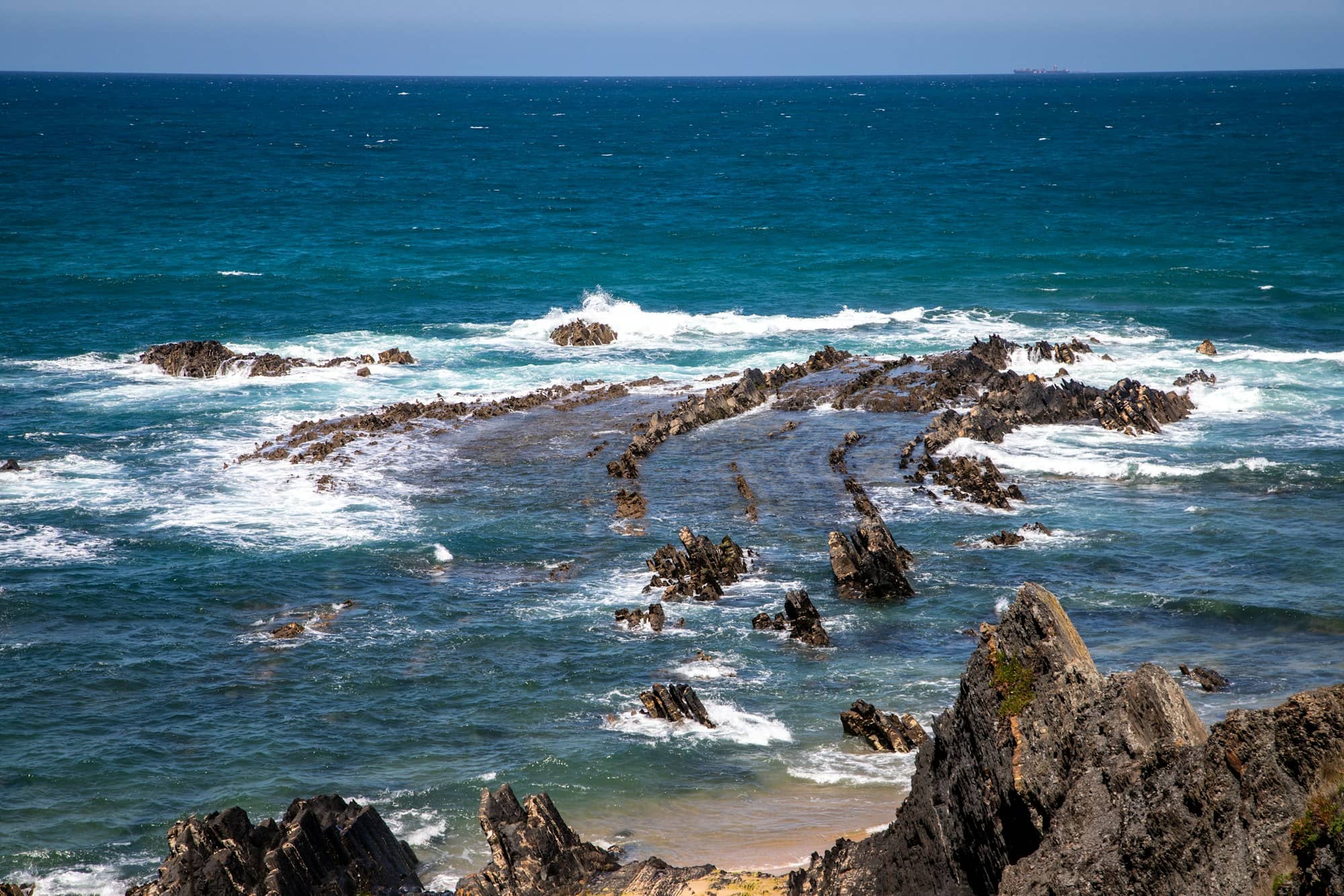
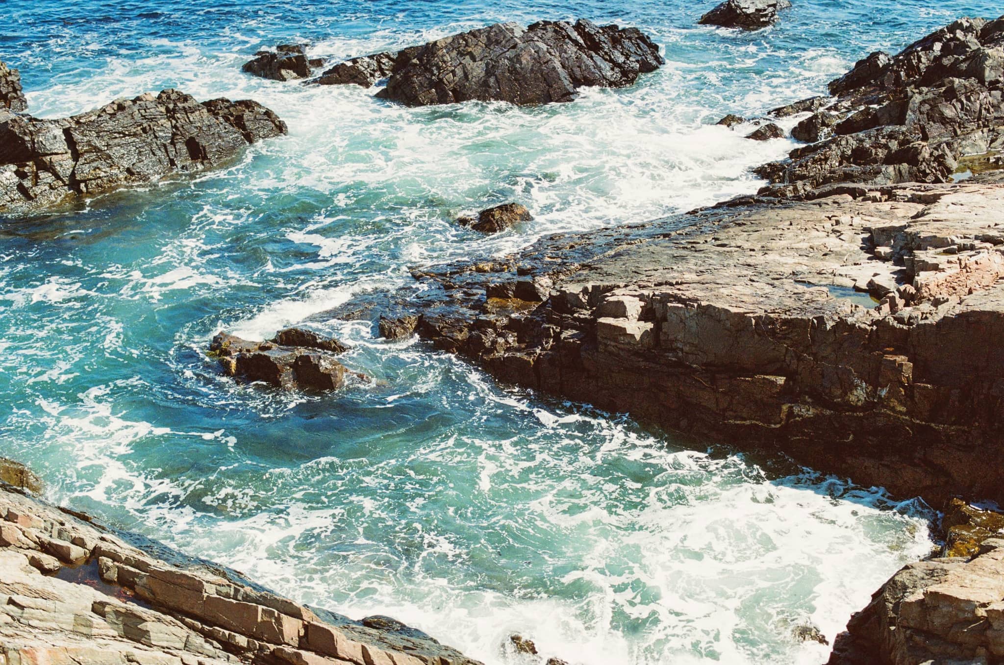
Turquoise water washing white over tilted rock ledges on an open stretch of Maine coast
Photo by Christopher Goodwin on Unsplash

Tool

Maine Tide Times and Low-Tide Windows

Maine has some of the largest tides in the country, and a few of its best walks exist only for a few hours at a time. These are the windows, from NOAA predictions.

Walks and tidepools that need low water

Four places worth timing a day around, on one clock. Each one opens twice a day for a few hours and is gone in between, and because they key off different stations they do not open together.

Bar Island land bridge: Wed, Aug 19, 8:54 to 11:54 AM, low water 10:24 AM; Wed, Aug 19, 9:34 PM to 12:34 AM, low water 11:04 PM; Thu, Aug 20, 9:47 AM to 12:47 PM, low water 11:17 AM
Wonderland and Ship Harbor tidepools: Wed, Aug 19, 8:24 AM to 12:24 PM, low water 10:24 AM; Wed, Aug 19, 9:04 PM to 1:04 AM, low water 11:04 PM; Thu, Aug 20, 9:17 AM to 1:17 PM, low water 11:17 AM
Two Lights and Kettle Cove ledges: Wed, Aug 19, 8:38 AM to 12:38 PM, low water 10:38 AM; Wed, Aug 19, 9:23 PM to 1:23 AM, low water 11:23 PM; Thu, Aug 20, 9:30 AM to 1:30 PM, low water 11:30 AM
Popham Beach sand bars
Popham Beach sand bars: Wed, Aug 19, 9:07 AM to 12:07 PM, low water 10:37 AM; Wed, Aug 19, 9:51 PM to 12:51 AM, low water 11:21 PM; Thu, Aug 20, 10:01 AM to 1:01 PM, low water 11:31 AM

Each bar is the cautious window either side of low water — an hour and a half for the two crossings, two hours for the tidepools. A bar cut off at the left edge is open now.

Bar Island land bridge

A gravel bar surfaces off Bridge Street and you can walk out to Bar Island from the middle of Bar Harbor.

  • Wed, Aug 19: 8:54 AM to 11:54 AM (low water 10:24 AM)
  • Wed, Aug 19: 9:34 PM to 12:34 AM (low water 11:04 PM)

Watch out: The bar floods from both ends and people are cut off on it every summer. Turn back well before the window closes; the return is longer than it looks from the island.

Wonderland and Ship Harbor tidepools

Two easy trails on the quiet side of Mount Desert Island that end on ledges full of pools once the water drops.

  • Wed, Aug 19: 8:24 AM to 12:24 PM (low water 10:24 AM)
  • Wed, Aug 19: 9:04 PM to 1:04 AM (low water 11:04 PM)

Watch out: The rockweed is slick and hides ankle-deep holes. Rubber-soled shoes, and keep off the black algae band entirely.

Two Lights and Kettle Cove ledges

The tilted shale ledges south of Portland open up a wide tidepooling shelf at low water.

  • Wed, Aug 19: 8:38 AM to 12:38 PM (low water 10:38 AM)
  • Wed, Aug 19: 9:23 PM to 1:23 AM (low water 11:23 PM)

Watch out: Open Atlantic swell reaches these ledges even on calm days. Watch the sets before committing to the lower shelf.

Popham Beach sand bars

Sand bars run out toward Fox Island and the beach roughly doubles in width at low water.

  • Wed, Aug 19: 9:07 AM to 12:07 PM (low water 10:37 AM)
  • Wed, Aug 19: 9:51 PM to 12:51 AM (low water 11:21 PM)

Watch out: The channel between the bar and Fox Island refills fast and runs deep. This is the crossing the state warns about most.

The tide reaches Downeast first

The tide is a wave crossing the Gulf of Maine, not a level that rises everywhere at once, and it does not arrive in the order most people assume. High water reaches Cutler and Bar Harbor around half an hour before it reaches Portland and Wells. It also grows eastward: Eastport rises and falls about twice as far as Wells in the same six hours. Follow one crest down the rows and both are visible at once — the trough stepping earlier, the curve getting deeper.

Wells8.7 ft range
Wells: low water 10:43 AM, 1.4 feet; high water 5:03 PM, 9.0 feet; low water 11:27 PM, 1.0 feet; high water 5:40 AM, 7.8 feet; low water 11:35 AM, 1.8 feet
Portland9.1 ft range
Portland: low water 10:38 AM, 1.3 feet; high water 4:57 PM, 9.2 feet; low water 11:23 PM, 1.1 feet; high water 5:36 AM, 8.0 feet; low water 11:30 AM, 1.8 feet
Hunniwell Point (Popham)8.5 ft range
Hunniwell Point (Popham): low water 10:37 AM, 1.2 feet; high water 5:01 PM, 8.7 feet; low water 11:21 PM, 1.0 feet; high water 5:37 AM, 7.5 feet; low water 11:31 AM, 1.6 feet
Rockland9.9 ft range
Rockland: low water 10:32 AM, 1.3 feet; high water 4:53 PM, 9.9 feet; low water 11:13 PM, 1.0 feet; high water 5:31 AM, 8.8 feet; low water 11:24 AM, 1.8 feet
Monhegan Island9.0 ft range
Monhegan Island: low water 10:29 AM, 1.3 feet; high water 4:44 PM, 9.0 feet; low water 11:14 PM, 1.0 feet; high water 5:23 AM, 7.8 feet; low water 11:21 AM, 1.7 feet
Bar Harbor10.6 ft range
Bar Harbor: low water 10:24 AM, 1.5 feet; high water 4:36 PM, 10.6 feet; low water 11:04 PM, 1.2 feet; high water 5:13 AM, 9.3 feet; low water 11:17 AM, 2.0 feet
Cutler13.2 ft range
Cutler: low water 10:23 AM, 1.6 feet; high water 4:35 PM, 13.4 feet; low water 10:57 PM, 1.3 feet; high water 5:08 AM, 12.1 feet; low water 11:15 AM, 2.2 feet
Eastport18.2 ft range
Eastport: low water 10:34 AM, 2.1 feet; high water 4:40 PM, 17.8 feet; low water 11:06 PM, 1.9 feet; high water 5:11 AM, 16.3 feet; low water 11:25 AM, 2.9 feet

One vertical scale for all eight, 0 to 19 feet above mean lower low water, so the rows can be compared to each other. Dots and times mark low water. The shape between the highs and lows is the standard half-cosine tide curve, not a NOAA reading.

Today along the coast

Ordered south to north. The range column is why the same six hours feel so different at Wells and at Eastport.

Next high and low tides by station
StationNext highNext lowRange
Wells5:03 PM10:43 AM8.7 ft
Portland4:57 PM10:38 AM9.1 ft
Hunniwell Point (Popham)5:01 PM10:37 AM8.5 ft
Rockland4:53 PM10:32 AM9.9 ft
Monhegan Island4:44 PM10:29 AM9 ft
Bar Harbor4:36 PM10:24 AM10.6 ft
Cutler4:35 PM10:23 AM13.2 ft
Eastport4:40 PM10:34 AM18.2 ft

The month’s lowest water

Not every low tide is the same size. Around the new and full moon the sun and moon pull in line and the water goes a foot or more further out than it does at the quarters, so the tidepooling and the sand bars swing between good and ordinary on a fortnightly beat. Pick the troughs.

Each bar is one day’s lowest low water at Bar Harbor, in feet above mean lower low water; today is in orange. Bars below the line are days the sea drops further out than average, which is when the tidepools and the sand bars are at their best. The deepest of the next 28 days is Fri, Sep 11 at 5:20 AM, −0.8 ft; the shallowest is Thu, Aug 20, 2.0 ft.

Common questions

How big are the tides in Maine?

Much bigger than most of the United States coast, and they grow as you go east. Wells runs about nine feet between high and low water, Bar Harbor about eleven, and Eastport around eighteen. That is why a beach can double in width in six hours, and why a bar you walked out on can be gone when you turn round.

How long is the Bar Island land bridge open?

Roughly an hour and a half either side of low tide, so about three hours in total. Cross early in the window rather than late, because the bar floods from both ends at once and the walk back always takes longer than people expect.

When is the best time to look in tidepools?

The hour either side of low water, and the lowest tides of the month are best of all. Those fall around the new and full moon, when the sun and moon pull together.

Why are the tide times different along the coast?

Because the tide is a wave crossing the Gulf of Maine rather than a level that rises everywhere at once, and it reaches the eastern end of Maine first. High water at Cutler and Bar Harbor runs roughly half an hour ahead of Portland and Wells, with Eastport a few minutes behind Cutler. Half an hour matters when a crossing is only open for three, so use the station nearest to where you will actually be standing rather than the nearest big town.

What is a spring tide?

Nothing to do with the season. Roughly every fortnight, around the new and full moon, the sun and moon pull in line and the tide runs bigger at both ends: higher high water and, more usefully, lower low water. Neap tides are the opposite, at the first and last quarter, and the difference between the two at Bar Harbor is well over a foot of exposed shore.

Where do these times come from?

NOAA's Center for Operational Oceanographic Products and Services, the same predictions used for navigation. They are astronomical predictions and do not account for wind or air pressure, which can shift the real water level by a foot or more in a storm.

Destinations

Where these tides are

All Destinations

Guides

Helpful guides

All Guides