1
Bar Harbor
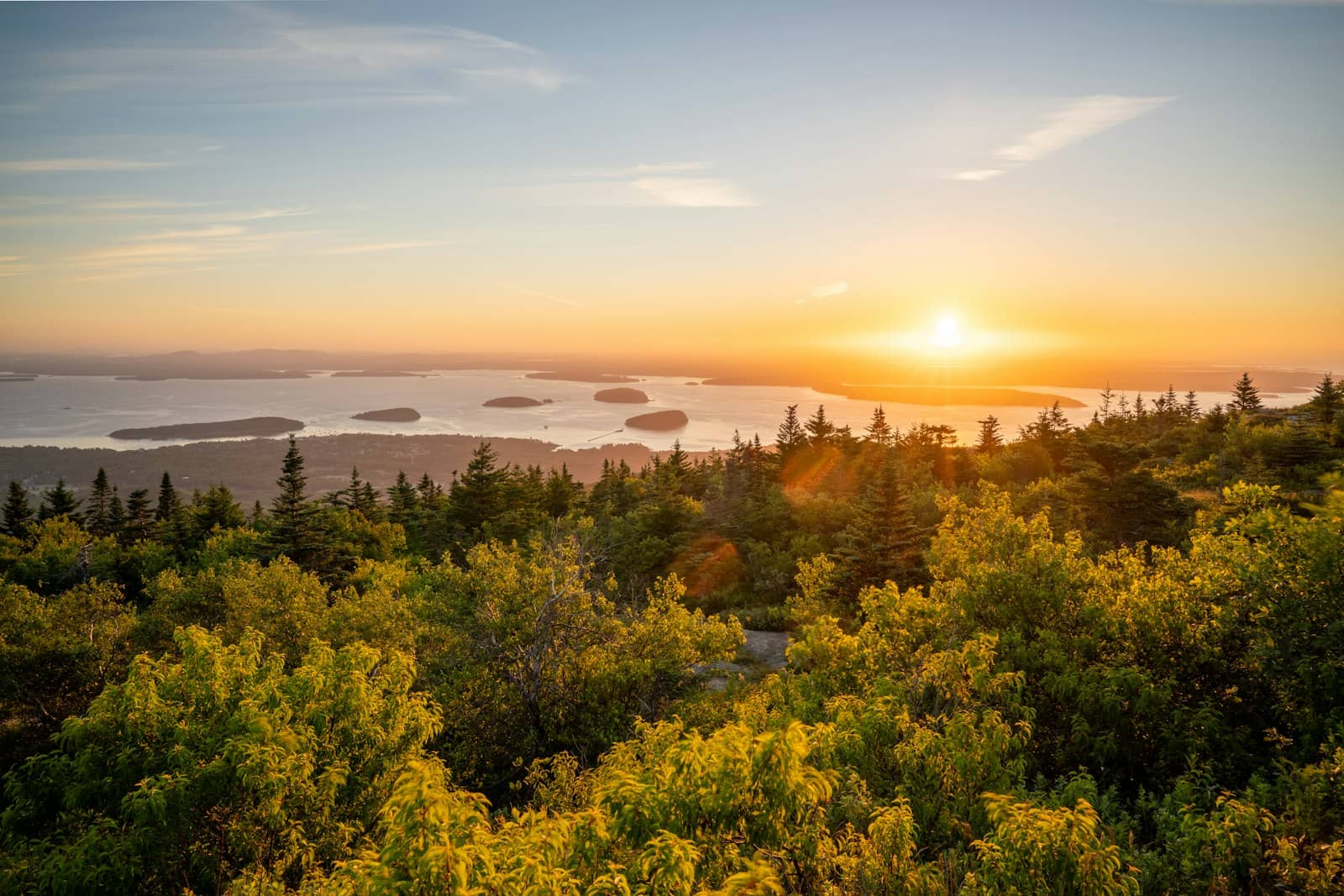
See main listingGateway to Acadia National Park - Cadillac Mountain, puffin cruises, and a harbor town that fills with cruise ships from May to October.
Details


Guide
Biking in Acadia National Park, Maine, centers on the crushed-stone carriage roads. Lake loops and connecting routes provide rides away from ordinary car traffic, while parking, terrain and bicycle rules affect the choice of route. The network is shared with walkers and horses.
Biking in Acadia National Park means something specific: 45-odd miles of crushed-stone carriage roads that no car has ever driven on, built to a grade gentle enough for a horse team. That is the whole appeal. You get an entire mountain-and-lake road network to yourself, graded so you can ride it on a rented hybrid, with stone bridges at the stream crossings. Here is which loop to ride, where to park, and the parts of the system that are less pleasant than the photographs suggest.
The carriage roads are gravel: specifically crushed stone, rolled firm, with a coarse surface that behaves like hardpack most of the year and like loose grit after regrading. They were built as a private carriage system on Mount Desert Island in the early twentieth century and given to the park, and they were engineered for horses: broad turns, steady grades, drainage ditches on the uphill side, and stone-faced bridges wherever the road crosses water. Motor vehicles have never been allowed. Bikes, walkers, horses and horse-drawn carriages share them.
Two practical consequences follow. First, no road bike. A hybrid, gravel bike or mountain bike with tires around 35mm and up is the right tool; 25mm road tires will hunt around in the loose sections and beat you up. Second, navigation is not obvious. The junctions are marked with numbered wooden signposts rather than route names, so the free carriage road map is the thing that makes the day work. The network branches constantly and every intersection looks like the last one.
Acadia National Park as a whole holds a 4.9 rating from 24,003 reviews, and a meaningful share of the people leaving those reviews never get off the Park Loop Road. The carriage roads are where the park quietly stops feeling crowded.
A little over three miles on the northern end of the system, starting from the Duck Brook Road parking area above Bar Harbor. Rolling, mostly wooded, with beaver ponds and a good chance of seeing the beavers themselves near dusk. This is the loop to ride if you have never ridden gravel, if you have a child on their own bike, or if you have two hours before dinner. It also puts you at Duck Brook Bridge, 4.8 from 127 reviews. A three-arch span you can walk down under, and the single most impressive piece of masonry on the network.
About six miles around the largest lake on the island, with long stretches of shoreline riding and mountain views across the water. Grades are mild. It is the standard first ride, which is exactly why the Eagle Lake parking area on Route 233 fills before mid-morning in summer. Eagle Lake Bridge, where Route 233 crosses the network, rates 4.7 from 33 reviews and is the easiest carriage road bridge to see without a bike at all.
The honest drawback: on an August afternoon the Eagle Lake loop carries a lot of traffic. Rental bikes, families three abreast, walkers with dogs. It is a pleasant ride, not a fast one. If you want speed, go early or go elsewhere.
From the Jordan Pond area you can link the carriage roads south and west into some of the prettiest riding on the island, past Jordan Pond Dam Stone Bridge (4.8 from 17 reviews) and through the Amphitheatre valley to Amphitheatre Bridge, the longest bridge in the system. Note that the carriage road does not hug Jordan Pond's shore the way the hiking path does. The walking loop around the water is a separate trip on foot, and bikes are not permitted on it.
Roughly eleven miles circling Sargent and Penobscot mountains, with the longest sustained climb on the network and the best payoff: the west side traverses high above Somes Sound with the water below you. It passes Cliffside Bridge, Chasm Brook Bridge and Deer Brook Bridge, which rates 5 from 5 reviews mostly because almost nobody finds it. Allow two to three hours. This is where a rented single-speed cruiser becomes a bad decision.
A spiral of carriage road climbs to the top of Day Mountain, the one summit in the park reachable on a bike. It is a short, honest climb with an ocean view at the top and a fast descent, and it links to Stanley Brook Bridge (4.5 from 4 reviews) on the way toward Seal Harbor.
| Trailhead | Best for | Parking reality |
|---|---|---|
| Duck Brook Road | Witch Hole, Paradise Hill, Eagle Lake | Small, but turns over; closest to Bar Harbor |
| Eagle Lake (Route 233) | Eagle Lake loop, Around Mountain | Largest lot, fills first, roadside overflow |
| Jordan Pond | Amphitheatre, Around Mountain, Day Mountain | Full most of the day in July and August |
| Brown Mountain Gatehouse | Around Mountain from the quiet end | Modest lot, usually the last to fill |
| Hulls Cove Visitor Center | Riding in via Paradise Hill | Big lot; adds a climb both ways |
Hulls Cove Visitor Center, 4.5 from 2,546 reviews. Is where to pick up the carriage road map before you ride, and it is also the least stressful place to leave a car if you are willing to earn the first mile.
Rental shops cluster in downtown Bar Harbor within a few blocks of each other, renting hybrids, kids' bikes, trailers and pedal-assist e-bikes. In July and August, reserve the day before rather than turning up at nine expecting a bike in your size. Most shops will fit a rack or point you at the shuttle.
The seasonal Island Explorer shuttle runs a route built around bikes, which lets you ride one-way and bus back, useful on the Around Mountain loop when legs give out. Routes and season dates change year to year, so check the current schedule before you plan around it.
E-bikes are the live issue. Pedal-assist bikes are generally permitted on the carriage roads under the same rules as regular bikes, while throttle-driven bikes are treated differently, and the park has adjusted this policy more than once. If you are renting an e-bike specifically to ride the carriage roads, confirm the current rule on nps.gov first. Do not take a rental shop's word for it.
Some visitors want a road ride, and the Park Loop Road is the obvious candidate. Be honest with yourself about it: much of the one-way section has cars parked along the right lane, sightlines are short, drivers are looking at the ocean rather than at you, and the shoulder disappears exactly where the traffic is heaviest. It is best ridden at dawn, before the loop wakes up. Our Park Loop Road guide covers how the one-way sections work.
The better paved option is on the mainland side of the park. The Schoodic Peninsula loop road carries a fraction of the traffic, and a separate network of bike paths runs through the woods behind it, purpose-built and never shared with cars. It is an hour's drive from Bar Harbor and worth a full day.
One more honest note: the carriage roads are a network of gravel roads in the woods, and long stretches are simply pleasant tree tunnels rather than dramatic scenery. The views come in bursts. The lake shores, the Somes Sound traverse, the bridges. If you came for constant ocean panorama, that is on the hiking trails and the summits, not down here.
With one day in the park, ride Witch Hole or Eagle Lake in the early morning and spend the rest of the day on the Park Loop Road. With two or three days, give one morning to Around Mountain. It is the single best half-day the park offers to anyone on two wheels. If you are staying at one of the in-park campgrounds, bring bikes; Blackwoods and Seawall both put you within reach of a carriage road connector without moving the car.
Yes. Roughly 45 miles of crushed-stone carriage roads inside the park are open to bikes and closed to cars, and the paved park roads are legal to ride as well. Bikes are not allowed on the hiking trails, including the Jordan Pond Path.
No. The surface is firm crushed stone, and a hybrid or gravel bike with tires around 35mm and up handles it comfortably. What you want to avoid is a narrow-tire road bike, which slides in the loose sections and makes the descents unpleasant.
About an hour to ninety minutes for the roughly six-mile loop at a relaxed pace, longer if you stop at the shoreline viewpoints. Add time in summer, when the loop is busy enough that you spend a good part of it slowing for walkers.
Pedal-assist e-bikes are generally permitted where regular bikes are, with different treatment for throttle-powered models, but the park has revised this policy in the past. Check the current e-bike rules on nps.gov before you rent one specifically for carriage road riding.
Gateway to Acadia National Park - Cadillac Mountain, puffin cruises, and a harbor town that fills with cruise ships from May to October.
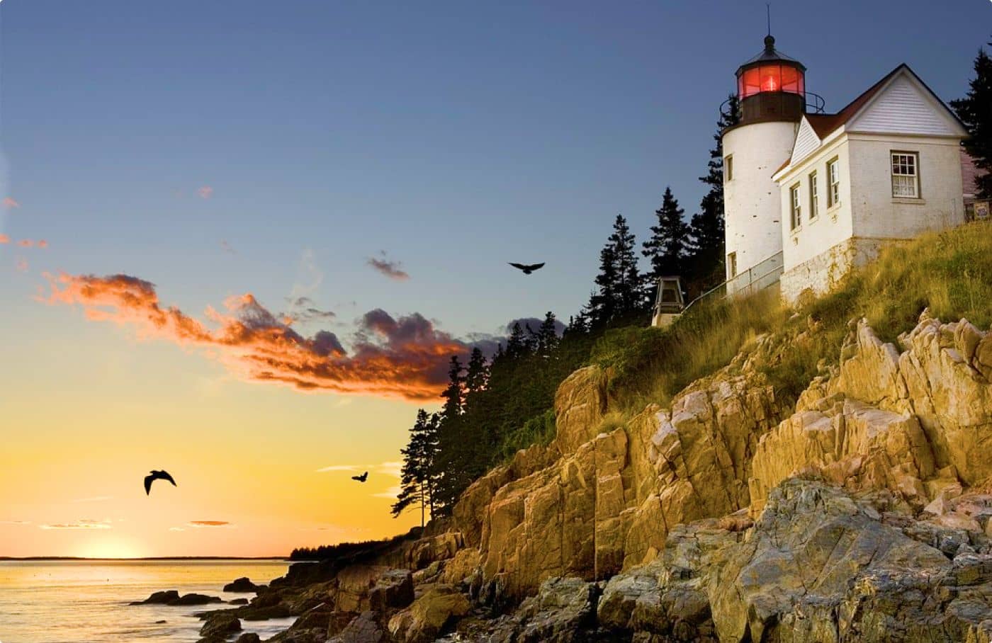
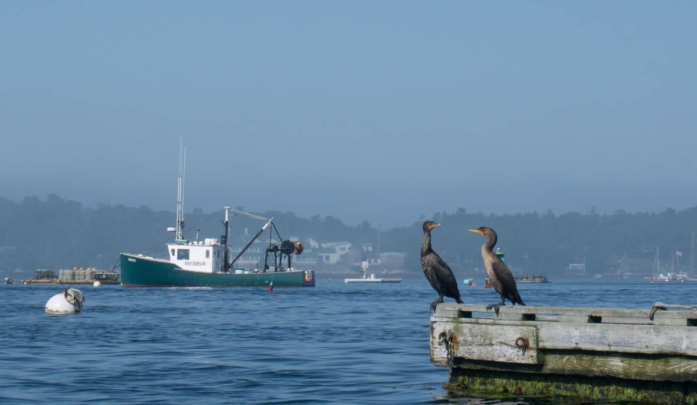
The working harbor on the quiet side of Mount Desert Island, with boatyards, Bass Harbor Head Light and easy Acadia access.
The quiet, moneyed side of Mount Desert Island, with a marina, two famous gardens, and fast access to Acadia.
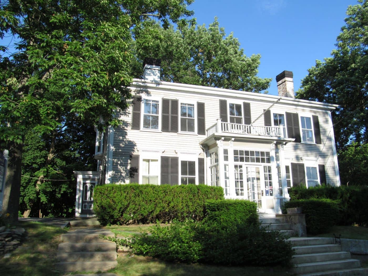
Gateway to Acadia - Main Street's shopping strip, the Colonel Black Mansion, and the scenic Union River dam walk.
Tools
Guides


Destinations
Downeast & Acadia
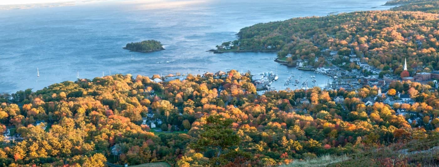
Gateway to Acadia National Park - Cadillac Mountain, puffin cruises, and a harbor town that fills with cruise ships from May to October.
Southern Maine Coast
Dock Square boutiques, Goose Rocks Beach, and the Bush family's Walker's Point - the quintessential coastal Maine summer town.
Greater Portland
Maine's largest city - a working waterfront, Old Port cobblestones, and a food scene that punches well above its weight.
Midcoast Islands
Shipbuilding heart of Maine since 1743 - Bath Iron Works still launches destroyers past the Maine Maritime Museum on the Kennebec.
Midcoast Islands
A Midcoast harbor town built around boat trips, with the Coastal Maine Botanical Gardens just up the road.
Midcoast Islands
Where the mountains meet the sea - windjammer harbor, Mount Battie summit views, and an independent village with real soul.
Greater Portland
Flagship home of L.L. Bean, open 24/7 - outlets, a tidal river, and surprisingly good eating between the shopping.
Southern Maine Coast
Postcard-perfect village of sea captains' mansions, Lower Village shops, and easy walks to Mother's Beach and Gooch's Beach.