Tool
Maine Ocean Water Temperature: Portland & NOAA Stations
Sea temperature right now from NOAA sensors, south to north. The question people are really asking is whether they can swim, so that is answered beside each reading.
Maine ocean water temperature varies by location and date. Coastal NOAA stations provide measurements at their sensors, which can help place a beach or boat outing in context. Read the station name and observation time alongside the temperature; a coastal reading is not a measurement of every nearby swimming spot.
| Station | Water | Swimming | Reading taken |
|---|---|---|---|
| Portland | 53.8 F | Very cold. Wetsuit weather. | Thu 6:36 AM |
| Bar Harbor | 53.2 F | Very cold. Wetsuit weather. | Thu 6:36 AM |
| Cutler | 52.5 F | Very cold. Wetsuit weather. | Thu 6:36 AM |
| Eastport | 52.5 F | Very cold. Wetsuit weather. | Thu 6:36 AM |
A year in the water
The sea lags the sun by about six weeks, so the warmest water of the year arrives long after the longest day and September beats June. The gap between the lines is the other half of the story: Downeast is not colder on the day you looked, it is colder all year.
- Portlandpeaked 64° on August 9
- Bar Harborpeaked 61° on August 12
- Cutlerpeaked 55° on September 8
- Eastportpeaked 55° on August 25
Daily means from the hourly NOAA readings over the past twelve months, in Fahrenheit. The dashed line is the June solstice: the water keeps warming for weeks after the longest day, which is why September swimming beats June swimming on this coast.
How long the swimming season is
The same readings, reduced to the decision. Portland gets a real stretch of water most people will swim in; the same threshold Downeast lasts a fraction as long, or is never reached at all.
Longest unbroken stretch of daily means above each threshold, from the past twelve months of NOAA readings, plotted on the calendar year. These are open-coast sensors: a shallow sandy bay on a hot afternoon runs warmer, and a season measured there would be longer at both ends.
Read Maine water temperatures by station
The comparison covers the existing Portland, Bar Harbor, Cutler and Eastport station selections. Read their named locations before comparing values, and use the observation time to see whether readings refer to the same part of the day. A missing measurement should remain missing rather than appear as zero or as a neighboring station’s value.
Fahrenheit and Celsius express the same measurement in different units. The source timestamp belongs with the value even when the page itself has just refreshed.
A sensor is different from a beach measurement
A station measures water at a particular location and depth. An exposed coast, sheltered cove and shallow beach can differ, so the nearest named station is context rather than a precise beach forecast. The four station selections also do not describe every marine sensor operating in Maine.
Temperature alone cannot tell you whether a swim is safe or comfortable. Cold water can interfere with breathing and movement, including for experienced swimmers. Consider the actual water conditions and local guidance for the activity; a warm afternoon or a threshold on a chart is not permission to enter the water.
Compare the seasonal record carefully
A historical chart can show how a particular station changed during a stated period. Read the date range and data gaps before treating a peak month or warm stretch as typical. One year of observations is not a long-term normal or a forecast for the coming season.
Compare like periods at the same station, with the same units and aggregation. A daily average can hide variation within the day. A run of days above a selected numerical threshold describes that dataset only; it does not define a safe swimming season.
Use the observation time before planning
When a fresh reading is unavailable, use the linked NOAA station information and keep any older value labeled with its actual date. A refreshed webpage does not make an old sensor measurement current.
For a broader coastal visit, explore the Maine beaches guide. Choose the actual beach and its local conditions separately from this coast-wide sensor comparison.
Sources: September 14, 2026 — NOAA CO-OPS, NOAA station metadata, National Weather Service.
Common questions
How cold is the ocean in Maine?
Cold enough that most people do not stay in long. Even at the end of August, when the water is at its warmest, the open coast runs in the fifties and low sixties Fahrenheit. Southern Maine beaches are the warmest, and the water gets colder the further east you go.
It varies by station and date. This tool displays individual ocean-sensor observations with their timestamps; a reading at one station is not a measurement of every nearby swimming beach.
Why is the water colder Downeast?
Tidal mixing. The tide range grows enormously toward the Bay of Fundy, and all that water churning over the bottom keeps a cold, well-mixed column rather than letting a warm surface layer form. Eastport can be eight degrees colder than Portland on the same day.
Coastal circulation and local exposure contribute to the difference. The station comparison shows the measured pattern; coves and beaches can differ from the nearest offshore or harbor sensor.
When is Maine water warmest?
Mid-August to early September. The sea lags the air by roughly six weeks, so the warmest water arrives well after the longest day, and September swimming is usually better than June swimming.
Late summer generally brings the warmest ocean water. The seasonal chart identifies its observation year and station, with gaps kept visible rather than filled by an unsupported swimming threshold.
What about the beaches in southern Maine?
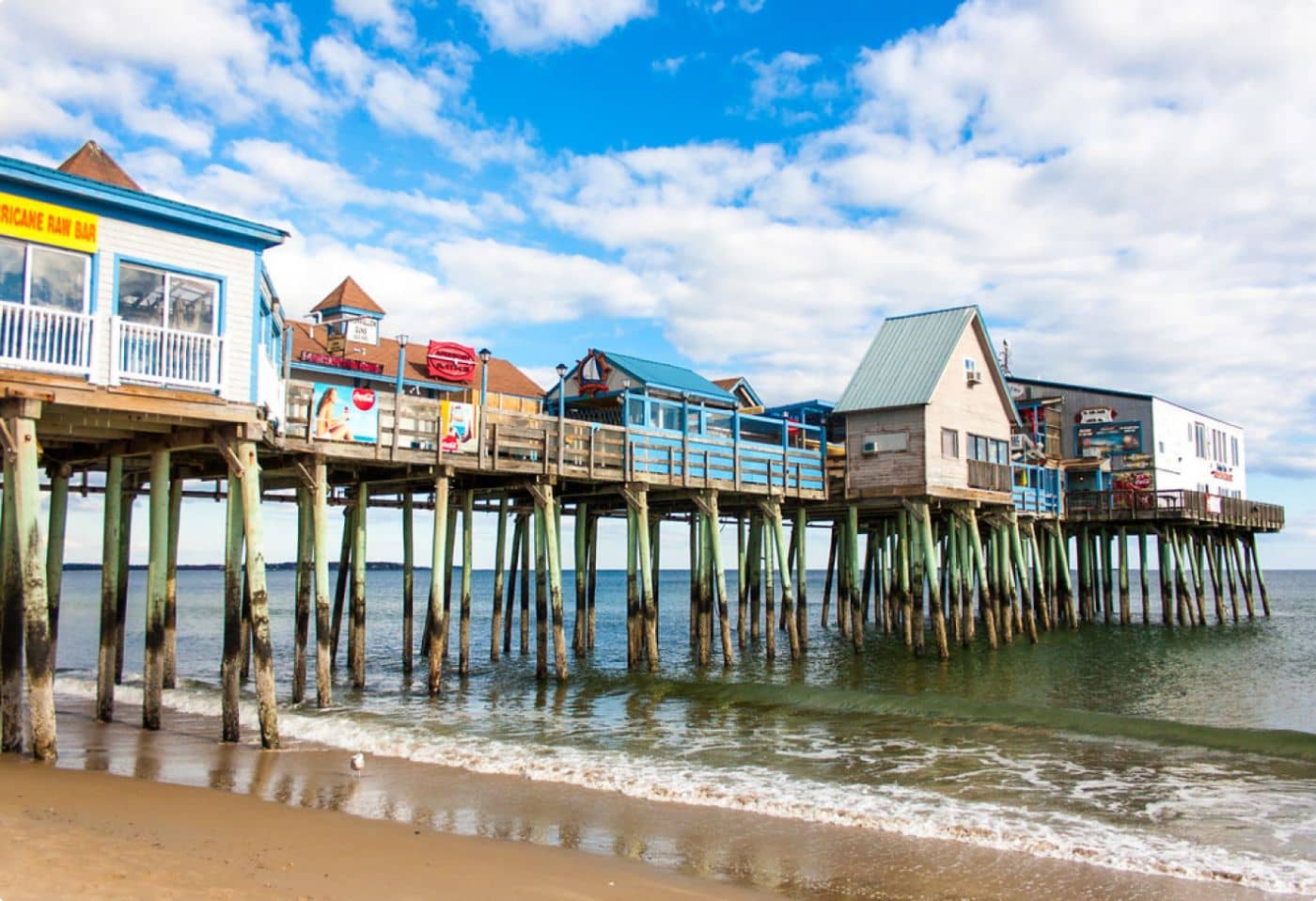
Warmer than these readings suggest. Only four NOAA stations on the Maine coast report water temperature and the southernmost is Portland, so the sandy beaches people actually swim at are all south of the nearest sensor. The shallow bays at Ogunquit, Wells and Old Orchard Beach warm up over a hot afternoon in a way that an open-coast sensor at a fixed depth never sees, and a cove on an outgoing tide over hot sand can be several degrees above the water a mile offshore.
The southern beaches can differ from the Portland sensor. Beach depth, exposure and local water movement matter; the Portland observation remains a station reading, with its own date and time.
Does Portland’s reading give the temperature at every southern Maine beach?
No. It describes the selected Portland sensor; another beach or cove can have different conditions.
Does a temperature above 60°F mean swimming is safe?
No. A temperature threshold cannot establish swimming safety, and cold-water effects remain relevant alongside local water conditions.
For more trip planning, see Maine Ocean Temperatures: Four Stations, 4.5°F Apart.