1
Wells
See main listingSeven miles of beach, a protected estuarine reserve, and the southern coast's densest run of seafood shacks.
Details

Guide
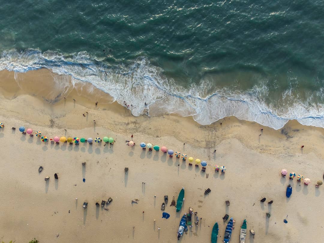
Drakes Island, Maine is not an island and never really was. It is a barrier beach in Wells, a two-mile arm of sand and cottages cut off from the mainland by the Webhannet River salt marsh, reached by one road with one small public lot at the end of it. The beach is very good. Getting a car near it is the entire problem, and it is worth understanding before you set off.
Drakes Island Beach is a town of Wells public beach at the north end of Wells Beach, roughly halfway between Ogunquit and Kennebunk. It is wide, sandy, gently sloping and much quieter than the main Wells Beach strip two miles south, because there is almost nowhere to park. Google carries two listings for it: one rating 4.7 from 190 reviews, the other 4.8 from 114, which between them tell you people who get there are happy.
The shape of a visit: turn off Route 1 onto Drakes Island Road, cross the marsh, drive to the end, pay at the town lot, walk over the dune. Restrooms and a changing area sit by the lot, and lifeguards work the beach in the summer season only. There is no food, no rental stand and no boardwalk. The nearest anything is back at Wells Harbor.
The lot is small and it fills. On a clear July or August day it is realistic to be turned away by mid-morning, and by noon it is a certainty. Everything else on the island is residential street parking with permit-only and no-parking signage that the town enforces properly. Tickets and towing, not warnings. Do not plan on finding a spot on a side street. There isn't one.
Three ways to make it work. Arrive before nine and stay the day. Come after four, when the morning crowd folds its umbrellas and the light on the marsh is better anyway. Or come outside the peak weeks: in June and September the lot is easy and the water is barely colder, since the Gulf of Maine warms slowly and peaks in late summer. Off-season the paid-parking system stops running and the beach belongs to dog walkers.
The other route in avoids the road entirely. Park at the Wells Reserve at Laudholm, walk the trail down through fields and pine woods to Laudholm Beach, and turn south, at lower tides you can walk onto the same strand from the far end. It is a mile-ish each way with a hill on the return, so it is a swap of effort for certainty, not a shortcut.
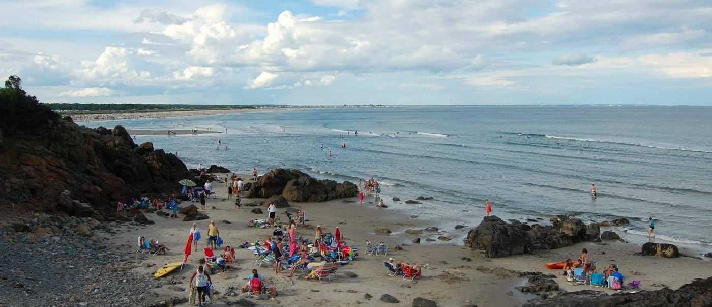
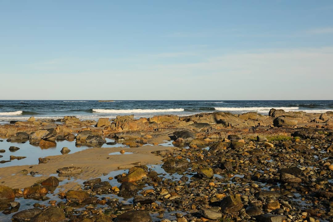
Southern Maine runs a tidal range of about nine feet, and Drakes Island responds to it dramatically. At low water you get a broad, firm, walkable flat. Hard-packed sand you can ride a bike on, tidal pools in the runnels, and enough room that the beach feels empty even on a busy day. Near high water, especially on the spring tides around a new or full moon, the dry sand shrinks to a narrow band and in places comes right up to the seawalls fronting the cottages. If you are hauling chairs and a cooler for the day, check a Wells tide chart and set up on a falling tide.
The water is cold. Not Acadia cold, but cold. This is still the Gulf of Maine, and August is the only month most people swim without discussion. What southern Maine gets in exchange is sand, a long soft beach of the kind that essentially stops existing north of Portland.
Turn around on the beach and look inland and you will see the thing that actually makes Drakes Island what it is. Behind the dune line is the Webhannet River salt marsh, a broad plain of salt hay and tidal creeks that floods and drains twice a day. The "island" is the sand bar in front of it.
That marsh is not leftover ground. It is one of the most productive habitats on the eastern seaboard. A nursery for the fish and shellfish the coast's economy runs on, a staging ground for migrating shorebirds, and an absorber of storm surge, which is why the marshes that got filled and built on in the twentieth century are now expensive lessons.
Two federal-scale efforts protect the ground either side of you. The Rachel Carson National Wildlife Refuge, established in the 1960s and named for the author of Silent Spring, who summered on this coast and did much of her marine work along it, is not one block of land but a chain of separate salt-marsh divisions strung between Kittery and Cape Elizabeth; the Webhannet is one. Just north, the Wells Reserve at Laudholm is a National Estuarine Research Reserve built around a preserved nineteenth-century saltwater farm, with miles of trails and a research program studying this estuary. It rates 4.8 from 347 reviews and is the best rainy-day alternative in Wells.
Knowing that changes the beach. The seawalls, sand fencing, planted dune grass and keep-off-the-dune signs are not decoration. They are a barrier beach being held in place in front of a marsh that would otherwise migrate landward.
For the rest of the town's shoreline see our guide to the beaches in Wells, or read up on Moody Beach at the Ogunquit end and the Kennebunk beaches just north. Our Wells town guide covers where to eat and stay.
No. It is a barrier beach and dune ridge attached to the mainland, separated from it by the Webhannet River salt marsh rather than open water. One road, Drakes Island Road, crosses the marsh to reach it.
Yes. The town of Wells runs paid parking at the beach lot through the summer season, and the surrounding streets are permit-only and enforced. Current rates and season dates are on the town website; outside the season the paid system does not operate.
Before nine in the morning if you want a full day, or after four for the late-afternoon shift. The lot is small enough that midday arrival on a hot weekend usually means turning around.
Drakes Island is quieter, more natural and harder to park at. Wells Beach, two miles south, has the larger lots, the arcade-and-pizza strip and the crowds. If you have small children who want a boardwalk, go there; if you want sand and marsh and not much else, come here.
Seven miles of beach, a protected estuarine reserve, and the southern coast's densest run of seafood shacks.
Tools
Guides


Destinations

Downeast & Acadia
Gateway to Acadia National Park - Cadillac Mountain, puffin cruises, and a harbor town that fills with cruise ships from May to October.
Southern Maine Coast
Dock Square boutiques, Goose Rocks Beach, and the Bush family's Walker's Point - the quintessential coastal Maine summer town.
Greater Portland
Maine's largest city - a working waterfront, Old Port cobblestones, and a food scene that punches well above its weight.
Midcoast Islands
Shipbuilding heart of Maine since 1743 - Bath Iron Works still launches destroyers past the Maine Maritime Museum on the Kennebec.
Midcoast Islands
A Midcoast harbor town built around boat trips, with the Coastal Maine Botanical Gardens just up the road.
Midcoast Islands
Where the mountains meet the sea - windjammer harbor, Mount Battie summit views, and an independent village with real soul.
Greater Portland
Flagship home of L.L. Bean, open 24/7 - outlets, a tidal river, and surprisingly good eating between the shopping.
Southern Maine Coast
Postcard-perfect village of sea captains' mansions, Lower Village shops, and easy walks to Mother's Beach and Gooch's Beach.