1
Bath
See main listingShipbuilding heart of Maine since 1743 - Bath Iron Works still launches destroyers past the Maine Maritime Museum on the Kennebec.
Details

Guide
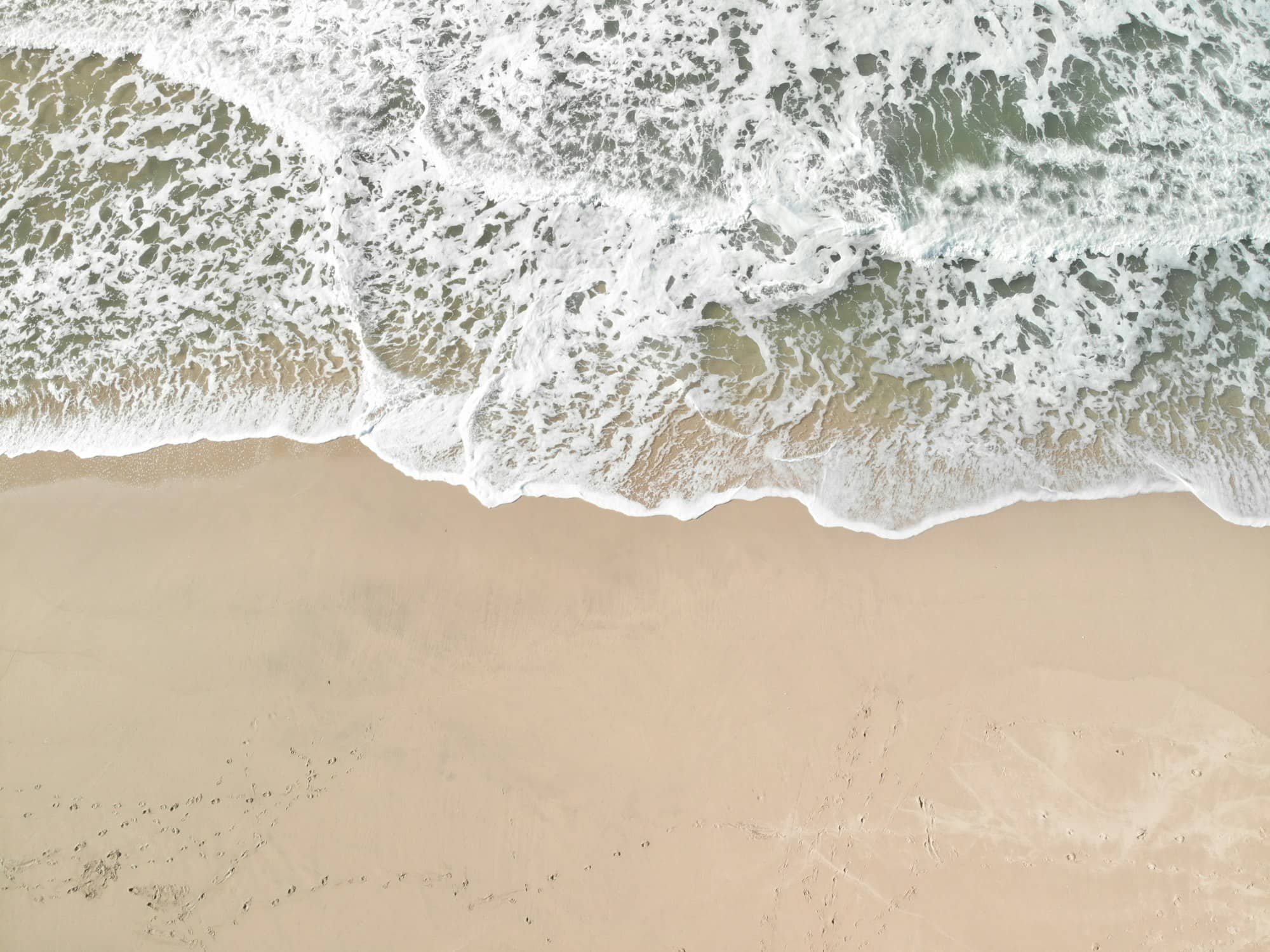
Popham Beach is the beach people picture when they picture Maine sand: a mile-plus of open Atlantic shoreline at the mouth of the Kennebec River, backed by dunes and pitch pine, with two rocky islands sitting offshore and a granite Civil War fort a couple of minutes up the road. It is also the state's busiest day-use park, and the sand under your feet moves more than almost any other beach in New England.
For more trip planning, see Can You Swim in the Ocean in Maine?.
Popham Beach State Park sits at the tip of the Phippsburg peninsula, roughly 15 miles south of Bath down Route 209. The address is 711 Popham Road, Phippsburg. It carries a 4.8 rating from more than 2,100 Google reviews, unusually high for a place that draws this kind of crowd.
The park covers about 605 acres of beach, dune, and salt marsh between the Morse River on the west and Atkins Bay and the Kennebec on the east. Two islands sit just off the sand: Fox Island to the west and Wood Island further out. On a clear day you can pick out Seguin Island Light, 5.0 in our listings, from a small pool of 38 reviews, on its hump of rock offshore.
What sets it apart from Maine's other sand beaches is scale. You walk in through the dunes and the shoreline opens in both directions with almost nothing built on it.
Popham is run by the Bureau of Parks and Lands within Maine's Department of Agriculture, Conservation and Forestry. Like most Maine state parks it charges a day-use fee at a gatehouse, with a lower resident rate and reduced rates for seniors and children. Fees change; check the park's page on maine.gov rather than a number you read on a travel site.
Parking is the constraint. The lot fills, and on a hot summer weekend it can fill before mid-morning. When it does, staff turn cars away at the gate. There is no roadside overflow, and the peninsula road is a two-lane with nowhere useful to leave a vehicle. Arriving early is the difference between a beach day and a long drive back to Bath.
There are changing rooms, cold outdoor showers, and restrooms, all on a seasonal rhythm: facilities and a staffed gate through the warm months, then a self-service fee station and no services the rest of the year. Off-season Popham, wind straight off the water and the lot mostly empty, is a genuinely good walk. Just dress for it. There is no campground here; Maine's park campgrounds book through the state's central reservation system on a rolling window, and the coastal ones go fast.
The tide runs the whole experience. At low water the beach roughly doubles and sandbars appear; at high tide the water pushes close to the dune line and much of the walking room disappears. Check a tide chart before you commit to a plan. The classic Popham move is walking out to Fox Island across the exposed bar, but the Morse River channel migrates, and in some years the crossing means fording moving water rather than strolling on sand. People get cut off out there every summer. Start back well before the tide turns, not at the turn.
Swimming is unlifeguarded much of the time and the water is cold. This is the open Gulf of Maine, not a protected cove. There is current where the Kennebec and the Morse meet the ocean. Plenty of people swim; do it near other people and not out by the river mouths.
The Kennebec River delivers an enormous volume of sand to this stretch of coast, and the Morse River at the western end swings back and forth across the beach face like a hose left running. Over the past few decades that channel has repeatedly cut new paths, taken out dune, and drowned stands of pitch pine. You can still see silvered dead trunks standing in sand where a forest used to be. In 2010 the state resorted to physically scraping and redirecting the Morse River to slow the erosion of the dune system. Managers have also replanted beach grass, laid discarded Christmas trees along the dune to trap windblown sand, and fenced sections off from foot traffic.
The practical upshot: what you read about Popham in an older guidebook may no longer be geographically true. The tombolo connecting to Fox Island has breached and reformed, and sections of the walking route change year to year. Check the park's current conditions page (the state maintains one specifically for Popham) instead of assuming last summer's layout still holds.
The peninsula you are standing on held one of the first English attempts to settle North America. In August 1607 (the same year as Jamestown) roughly 100 men and boys arrived at the mouth of what was then called the Sagadahoc River and built a star-shaped earthwork they named Fort St. George. The venture was backed by Sir John Popham, the Lord Chief Justice of England, and led on the ground by his relative George Popham.
Its one lasting achievement was a ship: a 30-ton pinnace christened the Virginia of Sagadahoc, the first vessel of its kind built by the English in North America and seaworthy enough to later cross the Atlantic. The colony itself did not last. George Popham died over the winter, his successor Raleigh Gilbert inherited an estate back in England and chose to go home, and by autumn 1608 the settlement was abandoned. Archaeologists located the fort's remains here in the 1990s.
The granite fort you can walk into is much later. Fort Popham was authorized in 1857, begun in 1861 as the Civil War made coastal defense urgent, and left unfinished in 1869 with two of three planned tiers built. Its crescent of granite was garrisoned again in the Spanish-American War and both World Wars. Up the hill, Fort Baldwin was started in 1905 with longer-range guns that made the older fort obsolete, though Popham kept a role controlling the river minefield. Fort Popham rates 4.7 from over 1,160 reviews; Fort Baldwin, quieter and reached on foot, 4.7 from 143.
Reid State Park in Georgetown is the natural pairing (similar sand-and-rock character, usually less crowded) but the two peninsulas do not connect at the bottom. Driving between them means going back up to Route 1. For the wider picture, see our roundups of Maine's state parks and Maine beaches.
Half a day covers it comfortably: a couple of hours on the sand plus a stop at Fort Popham on the way out. If you want to walk toward Fox Island you need to build the visit around the tide chart, which usually means arriving a couple of hours before low water and giving yourself a solid margin to get back.
No. Popham Beach State Park charges a day-use fee at the gate, with different rates for Maine residents, non-residents, seniors, and children. Fort Popham, a couple of miles up the road, is free to walk into. Current fee amounts are listed on the park's page at maine.gov.
Sometimes, and it depends on the year. The Morse River channel shifts, and in some seasons reaching the island means crossing moving water rather than dry sand. People are stranded there every summer. Check the park's conditions page and a tide chart, and turn back long before the tide starts filling in behind you.
It can be, at the right tide, but go in with clear eyes: cold water, limited lifeguard coverage, and real current near the Morse and Kennebec river mouths. Stick to mid-beach on a rising low tide, well away from either end. The tidal pools that form on the bars at low water are usually a bigger hit with small kids than the surf anyway.
Shipbuilding heart of Maine since 1743 - Bath Iron Works still launches destroyers past the Maine Maritime Museum on the Kennebec.
Tools
Guides



Destinations

Downeast & Acadia
Gateway to Acadia National Park - Cadillac Mountain, puffin cruises, and a harbor town that fills with cruise ships from May to October.
Southern Maine Coast
Dock Square boutiques, Goose Rocks Beach, and the Bush family's Walker's Point - the quintessential coastal Maine summer town.
Greater Portland
Maine's largest city - a working waterfront, Old Port cobblestones, and a food scene that punches well above its weight.
Midcoast Islands
Shipbuilding heart of Maine since 1743 - Bath Iron Works still launches destroyers past the Maine Maritime Museum on the Kennebec.
Midcoast Islands
A Midcoast harbor town built around boat trips, with the Coastal Maine Botanical Gardens just up the road.
Midcoast Islands
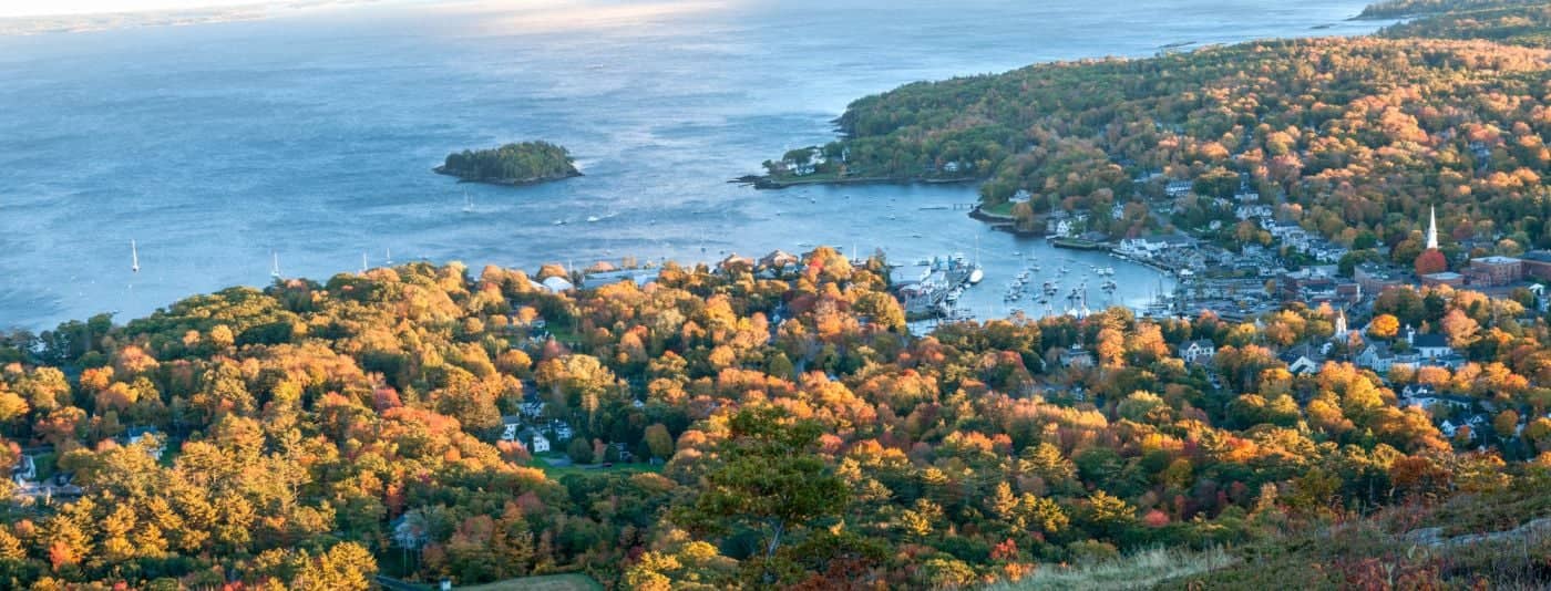
Where the mountains meet the sea - windjammer harbor, Mount Battie summit views, and an independent village with real soul.
Greater Portland
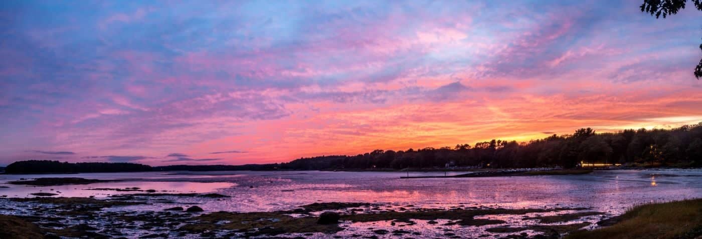
Flagship home of L.L. Bean, open 24/7 - outlets, a tidal river, and surprisingly good eating between the shopping.
Southern Maine Coast
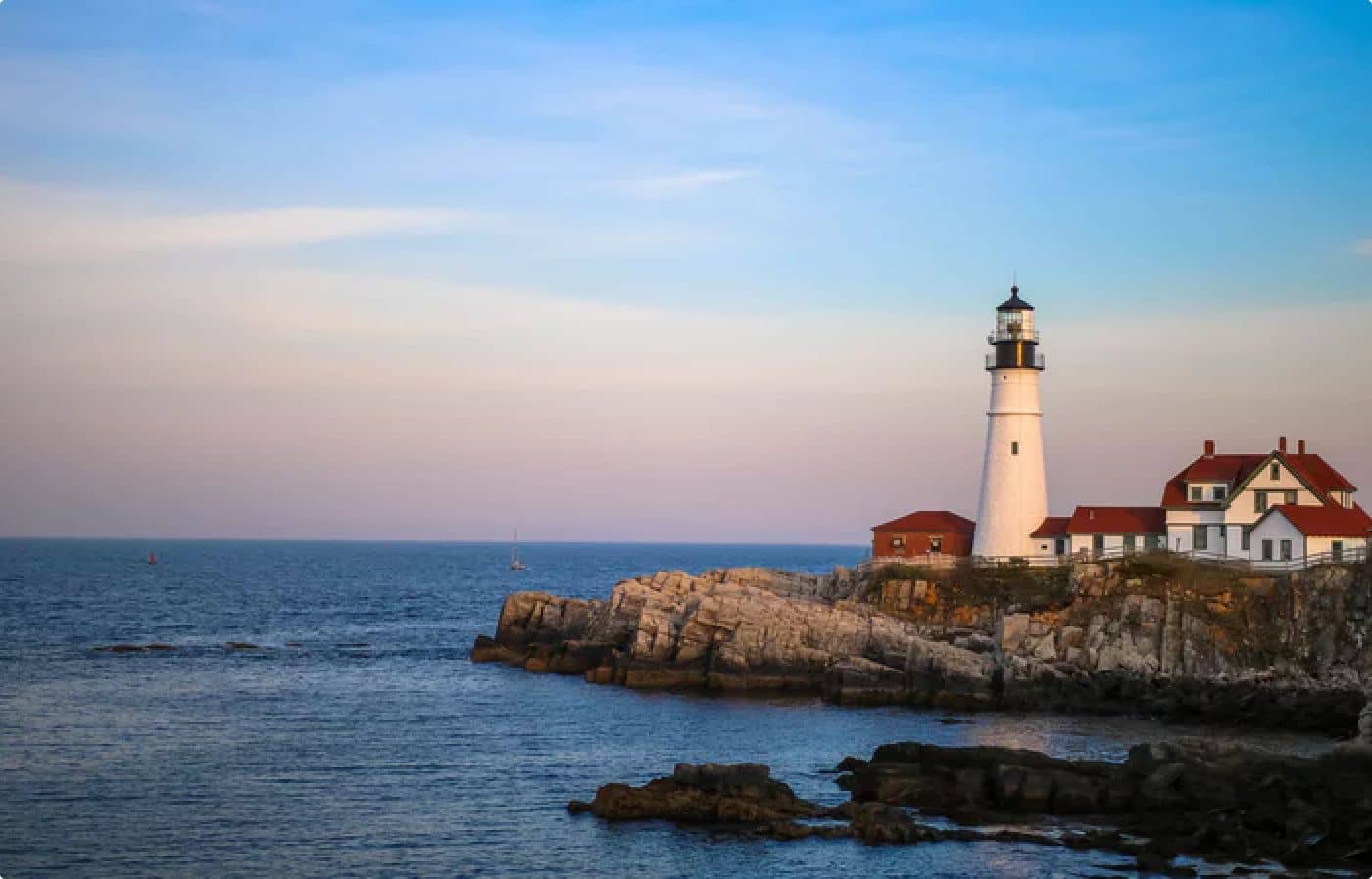
Postcard-perfect village of sea captains' mansions, Lower Village shops, and easy walks to Mother's Beach and Gooch's Beach.