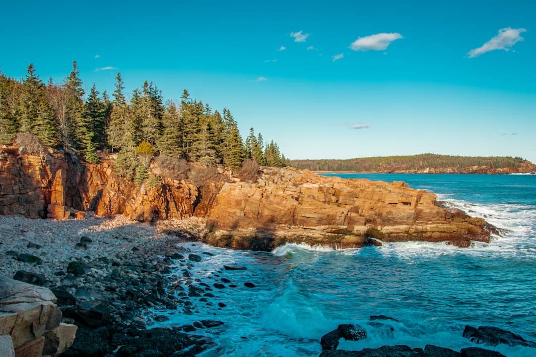
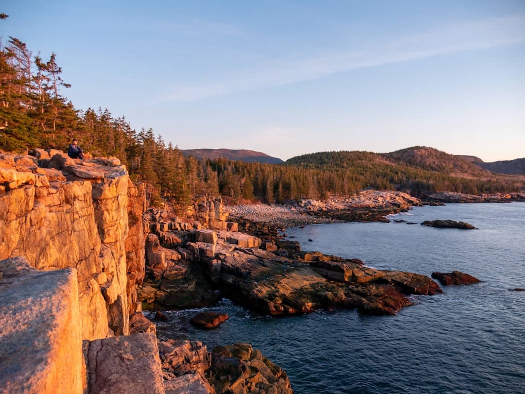
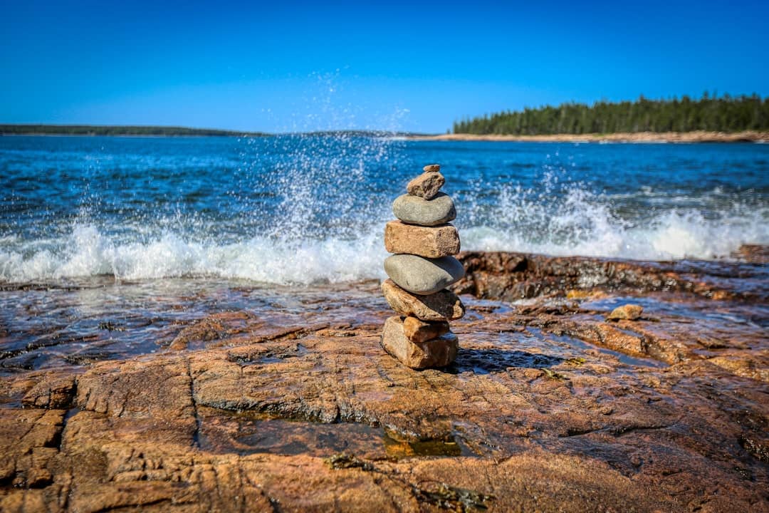
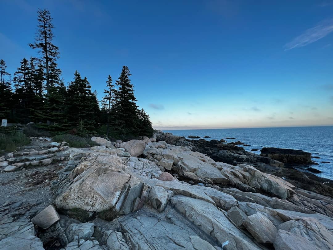
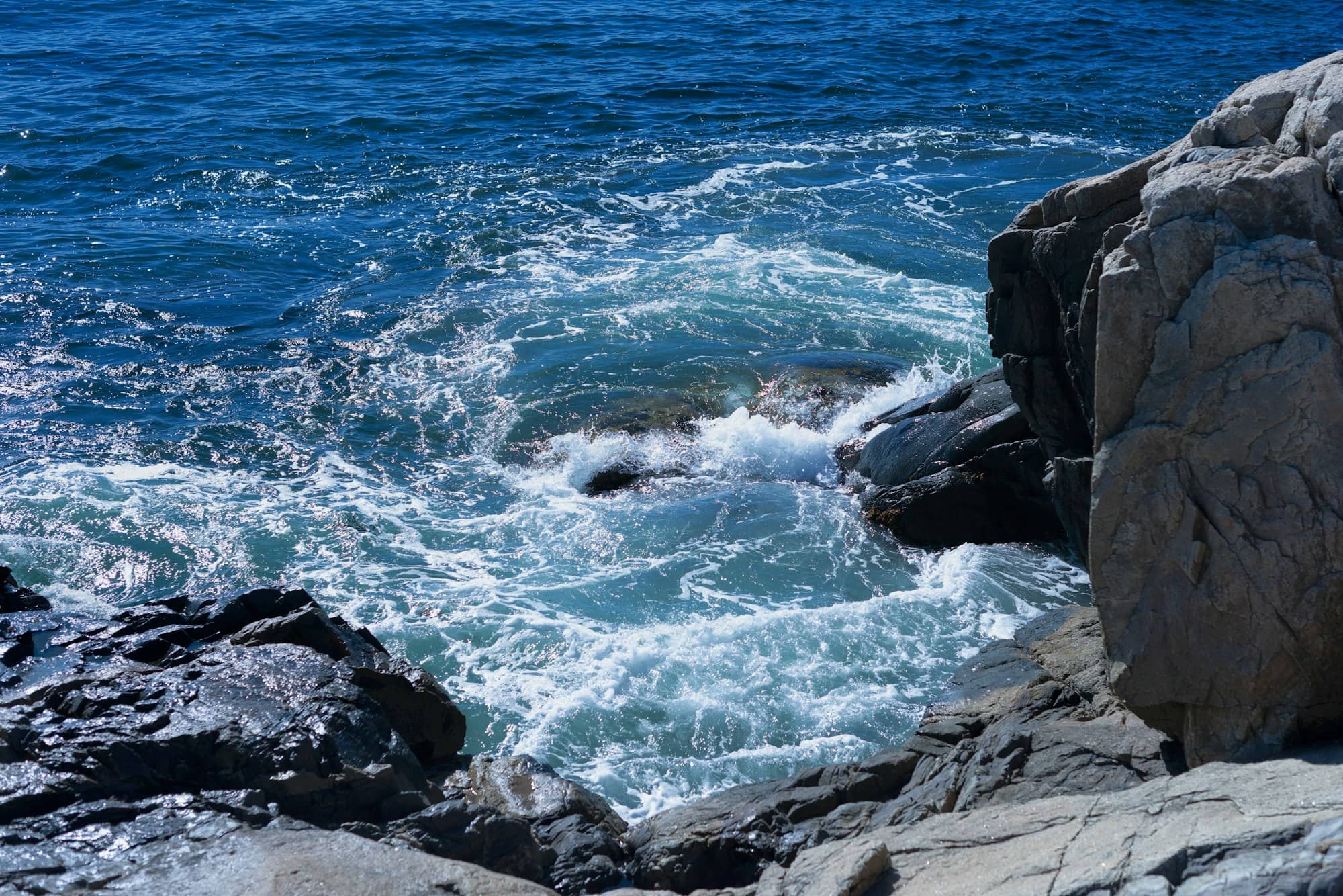
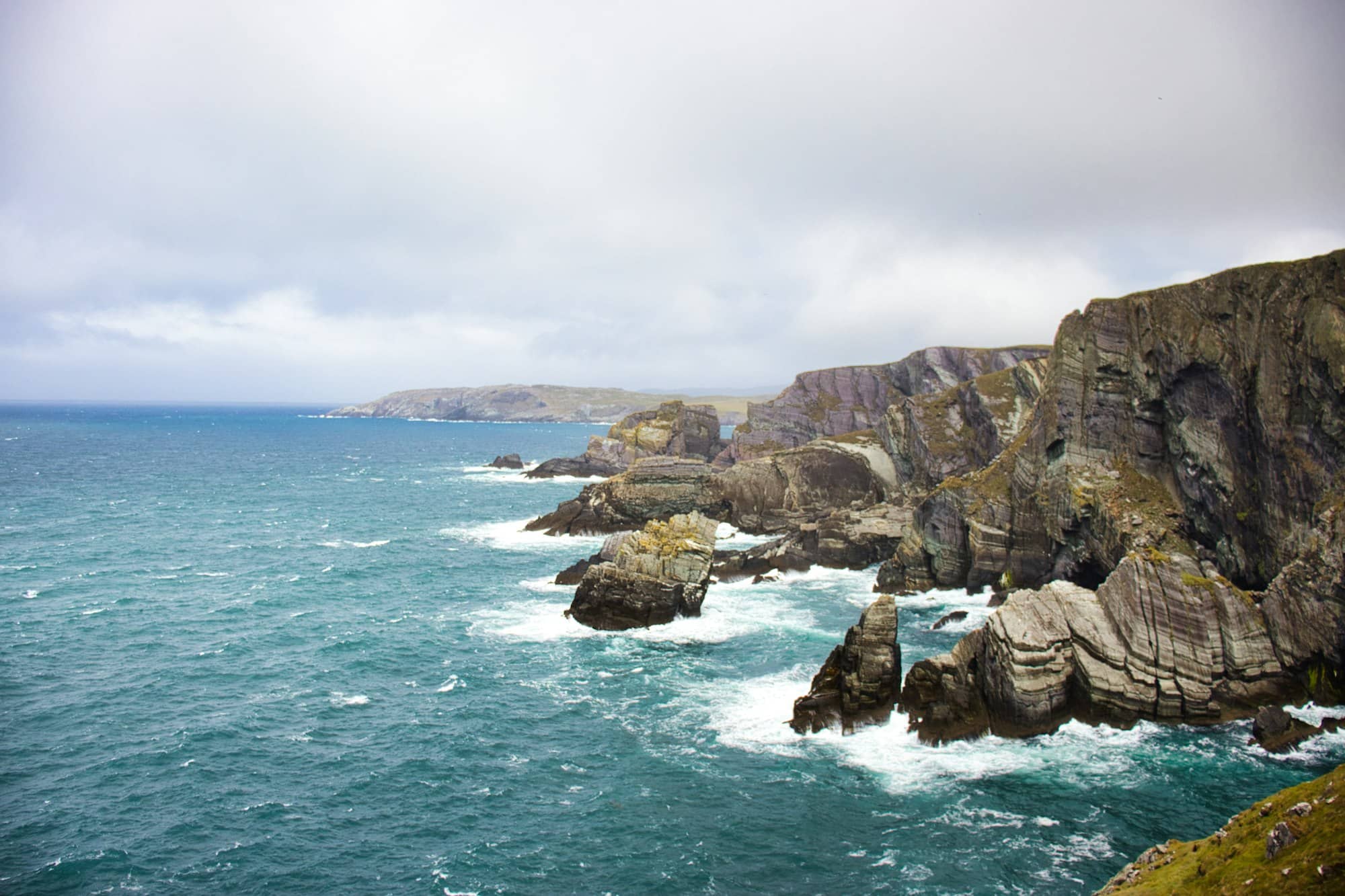
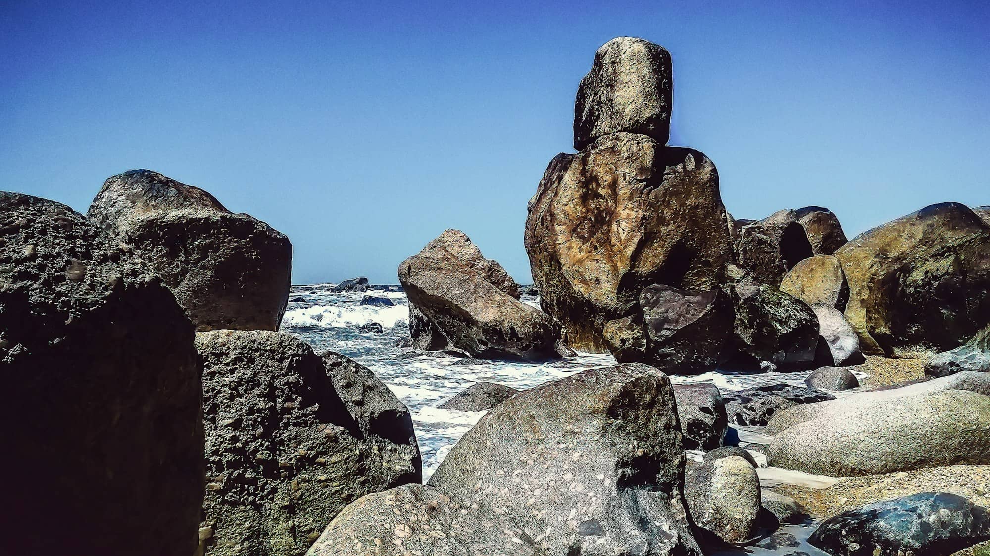
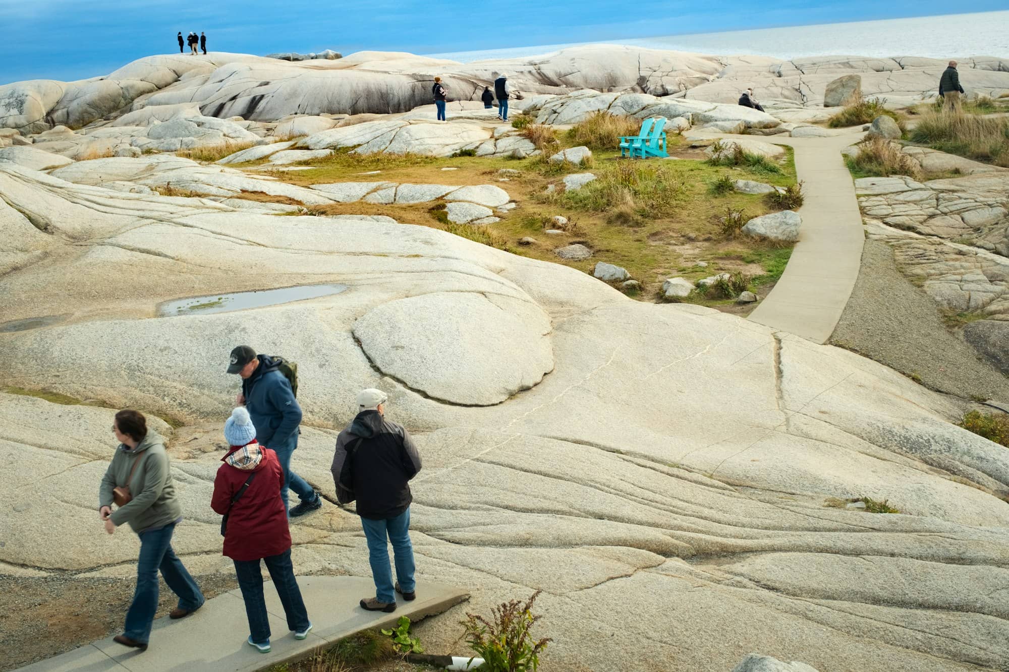
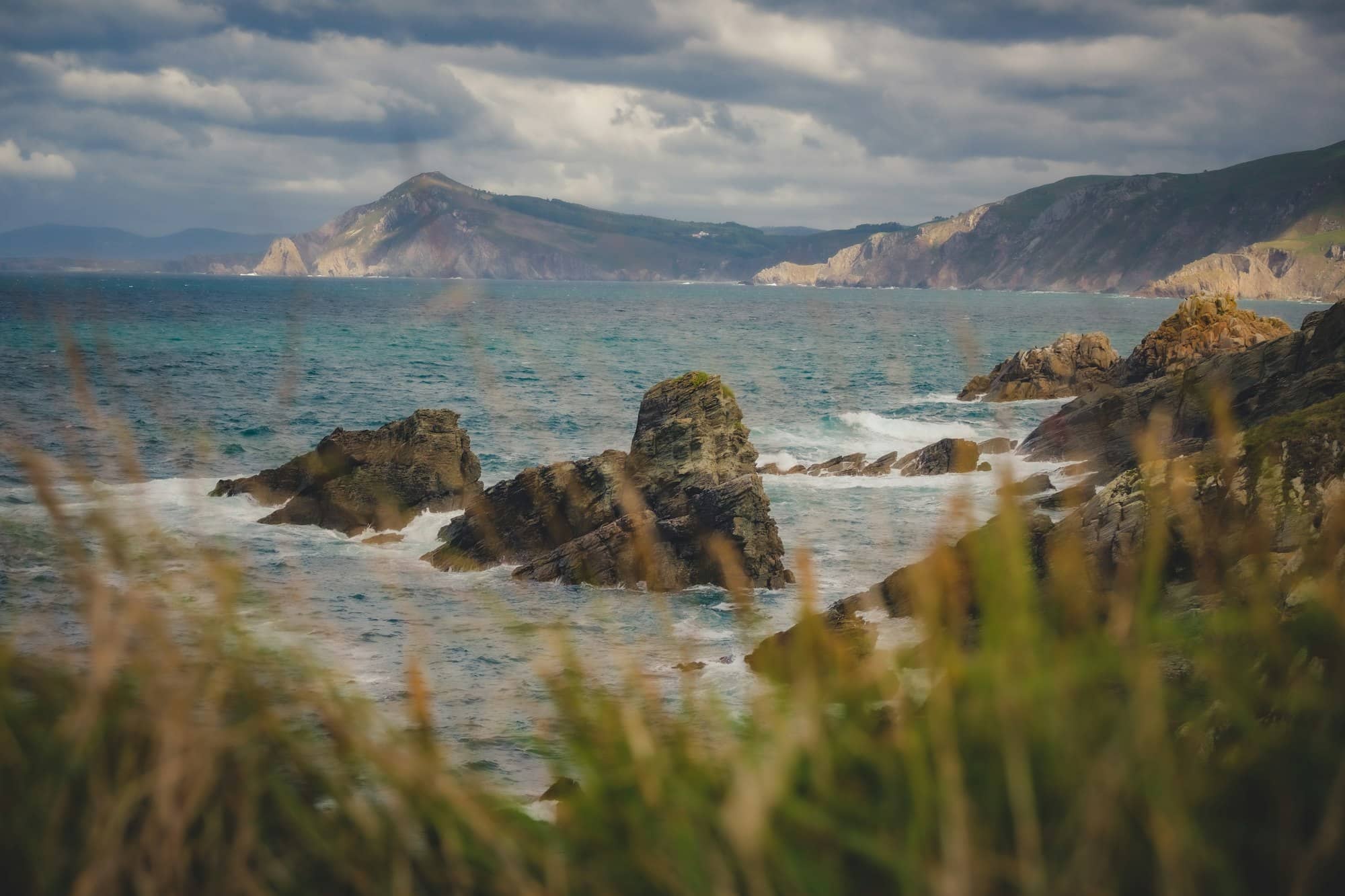
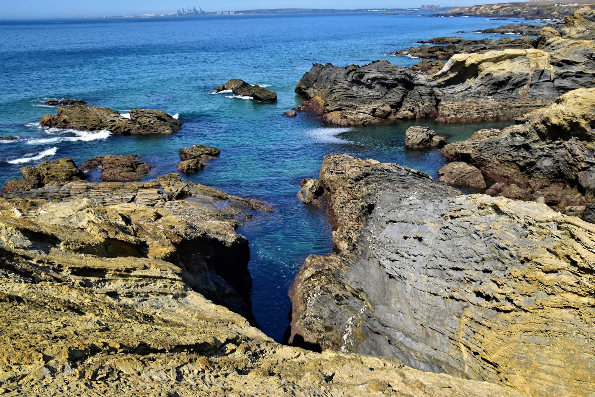
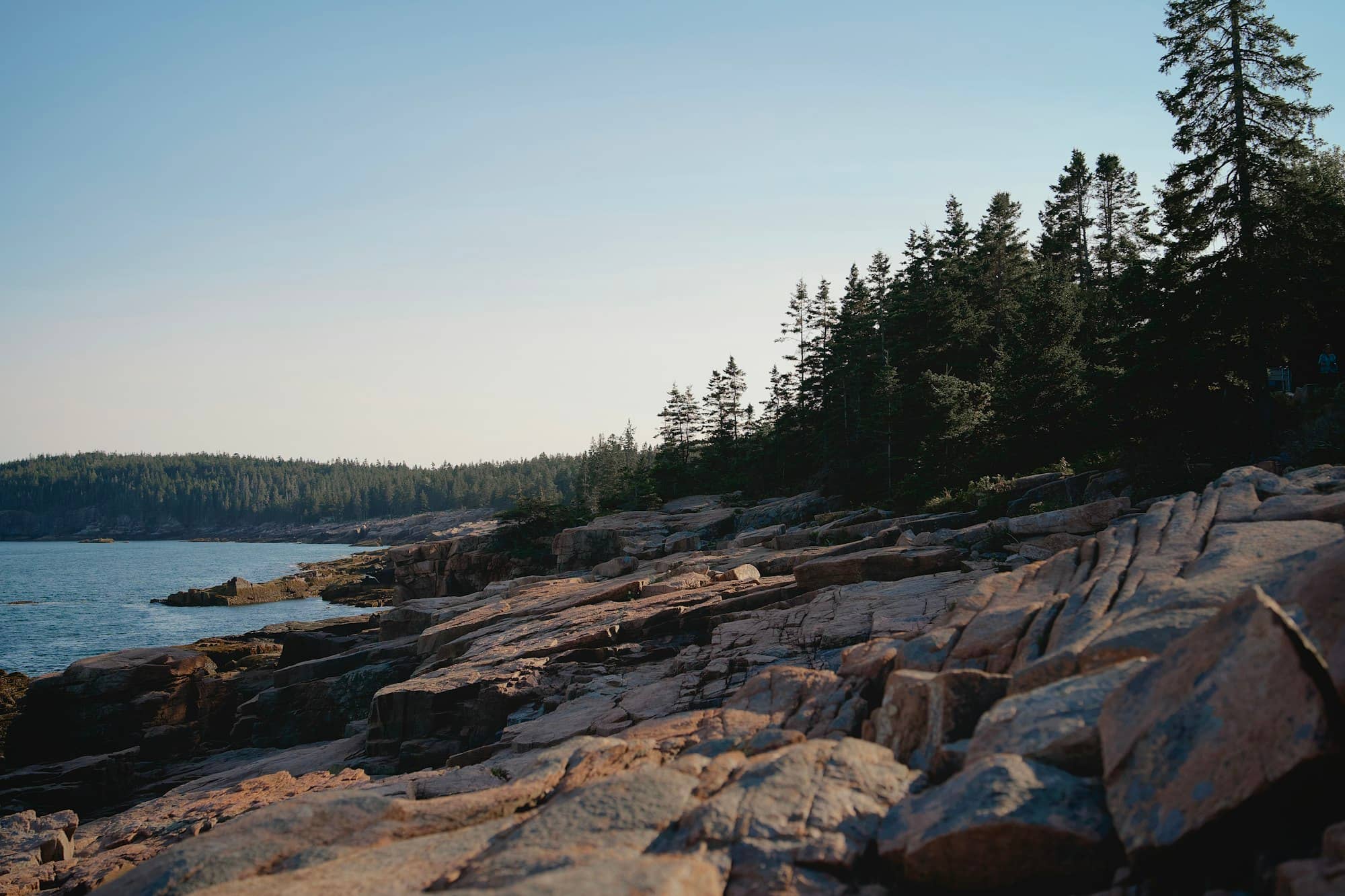
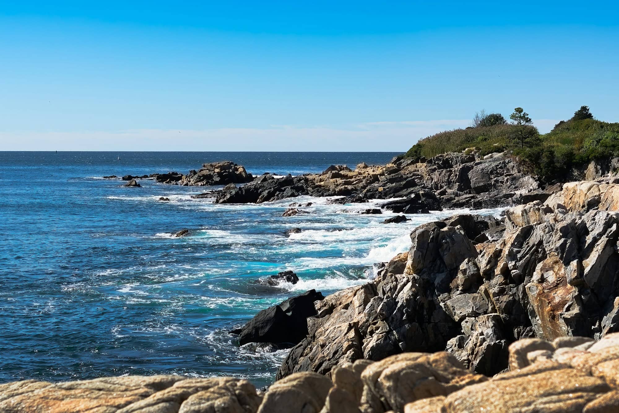
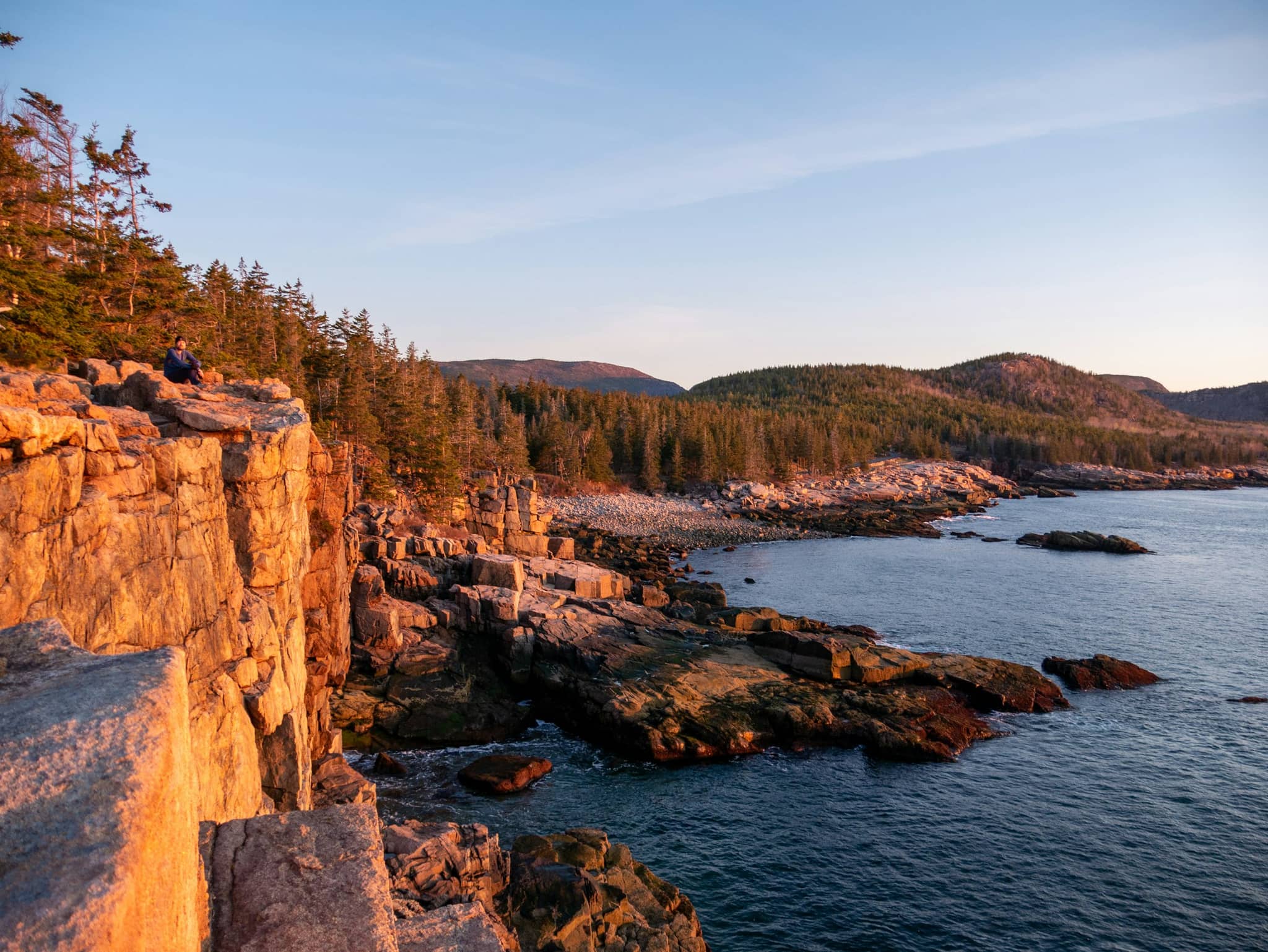
A granite cliff dropping to open water on the Maine coast
A granite cliff dropping to open water on the Maine coastPhoto by Raphael Assouline on Unsplash

Acadia National Park

The only national park in New England, and the reason most people come to this stretch of Maine coast: granite headlands, a summit road up the highest point on the Atlantic seaboard, and a working harbour town at the gate.

Where Acadia is, and what it actually covers

Acadia protects roughly 47,000 acres of the central Maine coast, and it is not one continuous block. The bulk of it lies on Mount Desert Island, an hour south-east of Bangor and about three hours from Portland, reached across the causeway at Trenton on Route 3. A second piece sits on the Schoodic Peninsula, on the mainland east of Winter Harbor, and a third on Isle au Haut, out past Stonington. The island itself is nearly cut in two by Somes Sound, which is why getting from Bar Harbor to Southwest Harbor takes longer than the map suggests.

Because the park is interleaved with private land and four island towns, there is no single gate you pass through. You buy a pass, and it applies wherever you are inside the boundary. Most first visits stay east of Somes Sound, where the Park Loop Road strings together the headline sights.

The sights, ranked by how many people have rated them

The table below is ordered by Google review volume, a rough but honest proxy for how much of the park’s traffic each place absorbs. It is useful mostly as a crowd forecast: the top few are where the tour buses stop, and the walks further down the list are where the park gets quiet. Each one is written up in full underneath.

What is near what

Sand Beach, Thunder Hole and the Ocean Path are the same mile of shore and read as three separate outings in a list. Bass Harbor Head is on the far side of the island, about forty minutes away. The pin numbers match the table and the write-ups below.

1Bass Harbor Head Light Station2Thunder Hole3Hulls Cove Visitor Center4Cadillac Mountain5Sand Beach6Wild Gardens of Acadia7Beehive Trail8Jordan Pond Path Trailhead9Bar Island Land Bridge10Ocean Path Trailhead11Bar Harbor Shore path
  1. Bass Harbor Head Light Station
  2. Thunder Hole
  3. Hulls Cove Visitor Center
  4. Cadillac Mountain
  5. Sand Beach
  6. Wild Gardens of Acadia
  7. Beehive Trail
  8. Jordan Pond Path Trailhead
  9. Bar Island Land Bridge
  10. Ocean Path Trailhead
  11. Bar Harbor Shore path
Coastline from OpenStreetMap contributors, simplified for display. Pin positions are the places’ own coordinates; the park boundary itself is not drawn, because Acadia is interleaved with private land and four island towns rather than being one continuous shape.
Acadia National Park sights by Google rating and review count, most reviewed first, each linking to its full description
RankSightRatingWhat it is
1Bass Harbor Head Light Station4.44,616The most photographed lighthouse in Maine, on the quiet Tremont side of the island. The rocks below face west, so it is a sunset stop rather than a sunrise one.
2Thunder Hole4.63,222A granite inlet that booms when a swell compresses air into the back of the chamber. It performs on a rising tide with surf running, and is silent otherwise.
3Hulls Cove Visitor Center4.52,546The main orientation point at the north end of the Park Loop Road, and the place to start if you have not pre-booked anything.
4Cadillac Mountain4.91,528The highest point on the eastern seaboard at 1,530 feet, and for about ten weeks around midwinter the first place in the United States to see the sunrise.
5Sand Beach4.8970A pocket of shell sand between granite headlands, and the trailhead for both the Ocean Path and the Beehive. The water sits near 55°F even in August.
6Wild Gardens of Acadia4.6725A compact botanical garden at Sieur de Monts laid out by habitat, and the fastest way to learn what you are looking at everywhere else in the park.
7Beehive Trail4.9583A short, genuinely exposed climb on iron rungs and ladders above Sand Beach. Not a scramble to attempt in the wet, or with any fear of heights.
8Jordan Pond Path Trailhead4.8569A 3.3-mile loop around a glacially clear pond framed by the Bubbles, with the Jordan Pond House at the south end.
9Bar Island Land Bridge4.8553A gravel bar off Bridge Street that surfaces for roughly ninety minutes either side of low tide and lets you walk from downtown Bar Harbor to an island.
10Ocean Path Trailhead4.8484The flat, wide walk from Sand Beach past Thunder Hole to Otter Cliff: the best return on effort in the park.
11Bar Harbor Shore path4.8474A level waterfront walk from the town pier around the shoreline, open to the public since the 1880s and free to use.

The sights, one by one

What each place actually is, what it asks of you, and the thing people most often get wrong about it. In the same order as the table.

1

Bass Harbor Head Light Station

See main listing

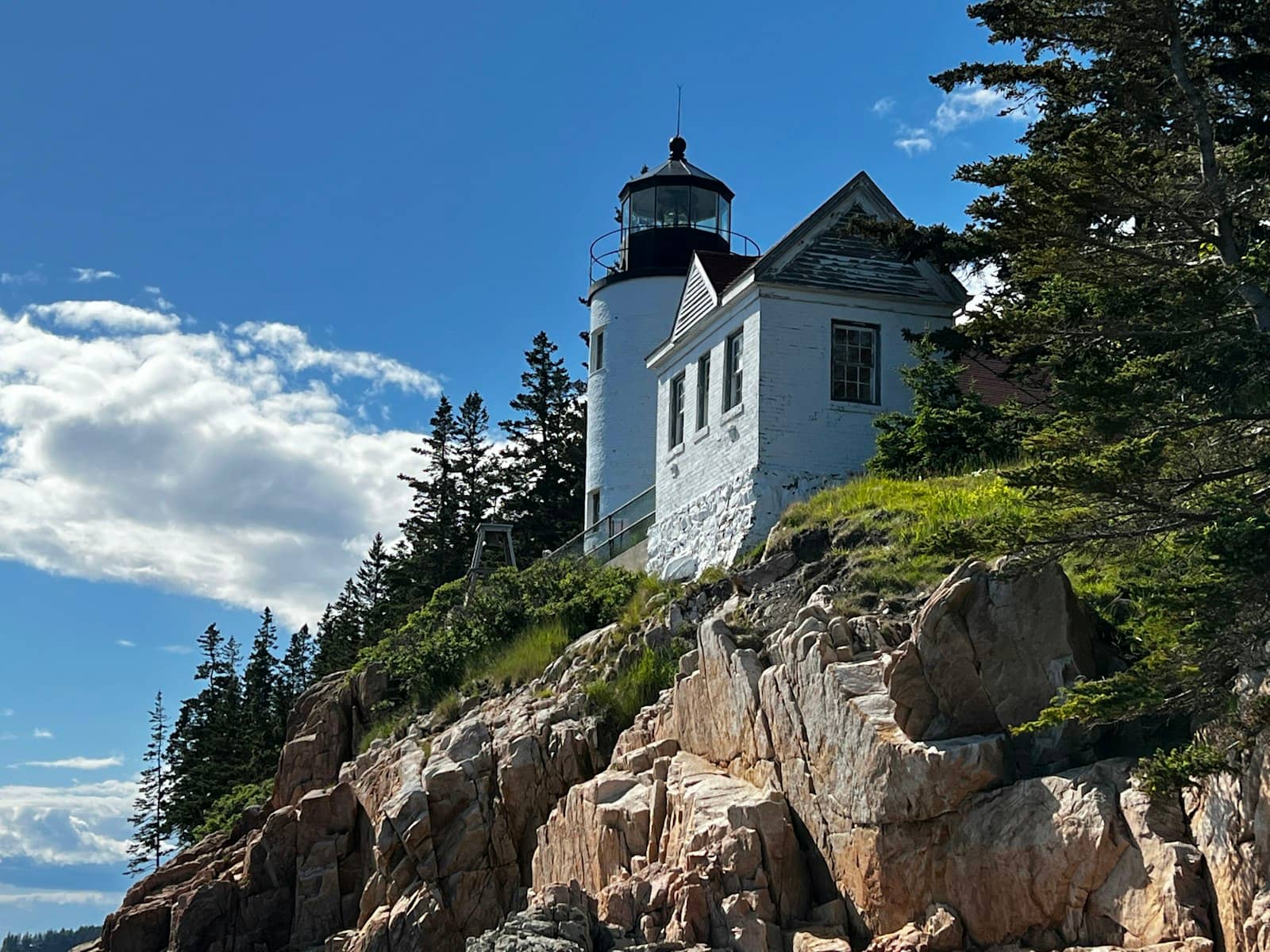
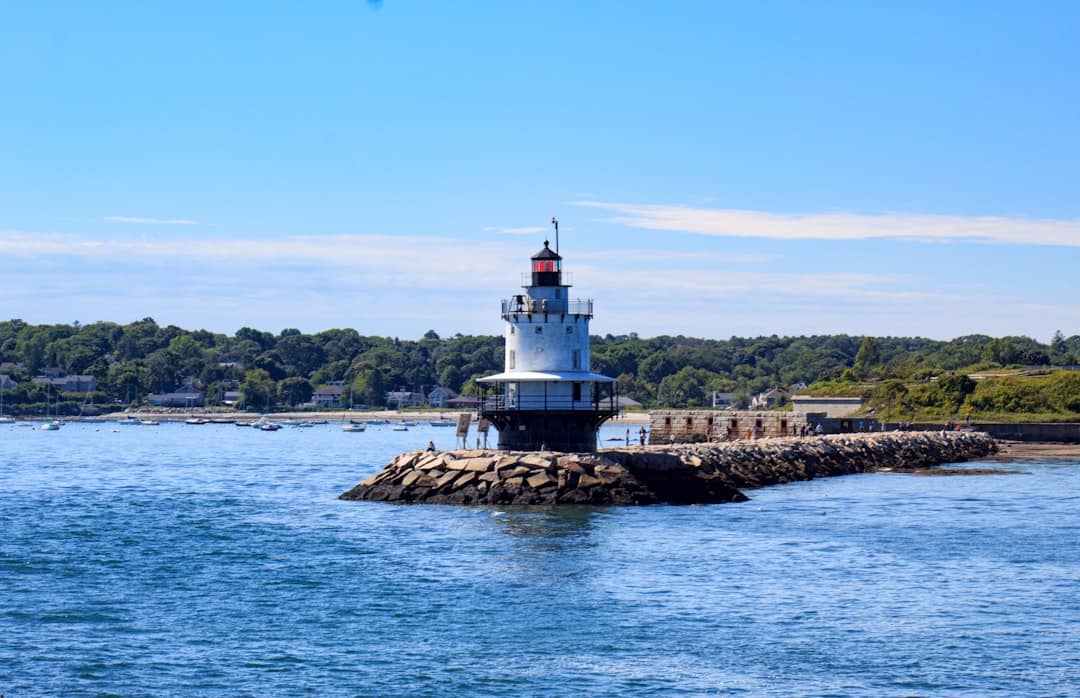
Bass Harbor Head Light stands on a low cliff at the south-western corner of Mount Desert Island, and it is probably the most photographed lighthouse in a state that has around sixty-five of them. The classic shot is taken from the rocks below and to the west of the tower, reached by a short set of stairs from the car park.

The orientation matters more than people expect. The rocks face west, so this is a sunset light. Turning up at dawn gets you the tower in flat shade with the sun behind it, which is the wrong way round and a long drive to discover.

It is also on the quiet side of the island, and that is half the reason to go. Tremont and Southwest Harbor see a fraction of Bar Harbor's traffic, so the journey out here doubles as an escape from the Park Loop Road. The car park is small, though, and at sunset in August it is full.

The light itself is an active aid to navigation and the keeper's house is a residence, so the grounds immediately around the tower are not generally open. What you come for is the view from below, not a tour.

Details

a white building on a rocky hill
Bass Harbor Head Light Station|Photo by Brad Weaver on Unsplash
2

Thunder Hole

See main listing

Thunder Hole is a narrow slot in the granite on the Park Loop Road where an incoming wave traps air in a small cavern at the back and forces it out again with a boom you feel as much as hear. When it works it is genuinely startling. The problem is how often it does not.

It needs two things at once: a rising tide, roughly the couple of hours before high water, and a real swell running in from offshore. On a calm, flat day at low water it is a wet hole in a rock with a viewing platform and a queue, and a great many visitors see exactly that and wonder what the fuss was. Check the tide before you go rather than arriving when the car park happens to have a space.

The corollary is the safety point, and it is not a formality. The conditions that make Thunder Hole spectacular are the conditions that wash people off the lower stairs. When a storm swell is running, the lower platform closes, and the day to be most careful is precisely the day it is most worth watching.

It sits on the Ocean Path between Sand Beach and Otter Cliff, so the best version of the visit is to walk to it rather than drive, which also sidesteps the parking entirely.

Details

3

Hulls Cove Visitor Center

See main listing

Hulls Cove is the park's front door, sitting just off Route 3 at the northern end of the Park Loop Road. It is where you buy a pass if you have not bought one online, pick up the official map, and ask a ranger the question you cannot resolve from a website.

It earns a stop mainly at the start of a first visit, and specifically if your plans are not yet fixed. Rangers know which trails are closed, whether the Precipice is shut for nesting peregrines, what the sea state is doing to Thunder Hole today, and which car parks are already full — none of which a website can tell you in real time.

It is also the sensible place to get on the Island Explorer if you are leaving the car for the day. Note that facilities here are seasonal: outside the summer operating window the building itself may be closed even though the park is open, and the park's information moves to Bar Harbor.

Details

4

Cadillac Mountain

See main listing

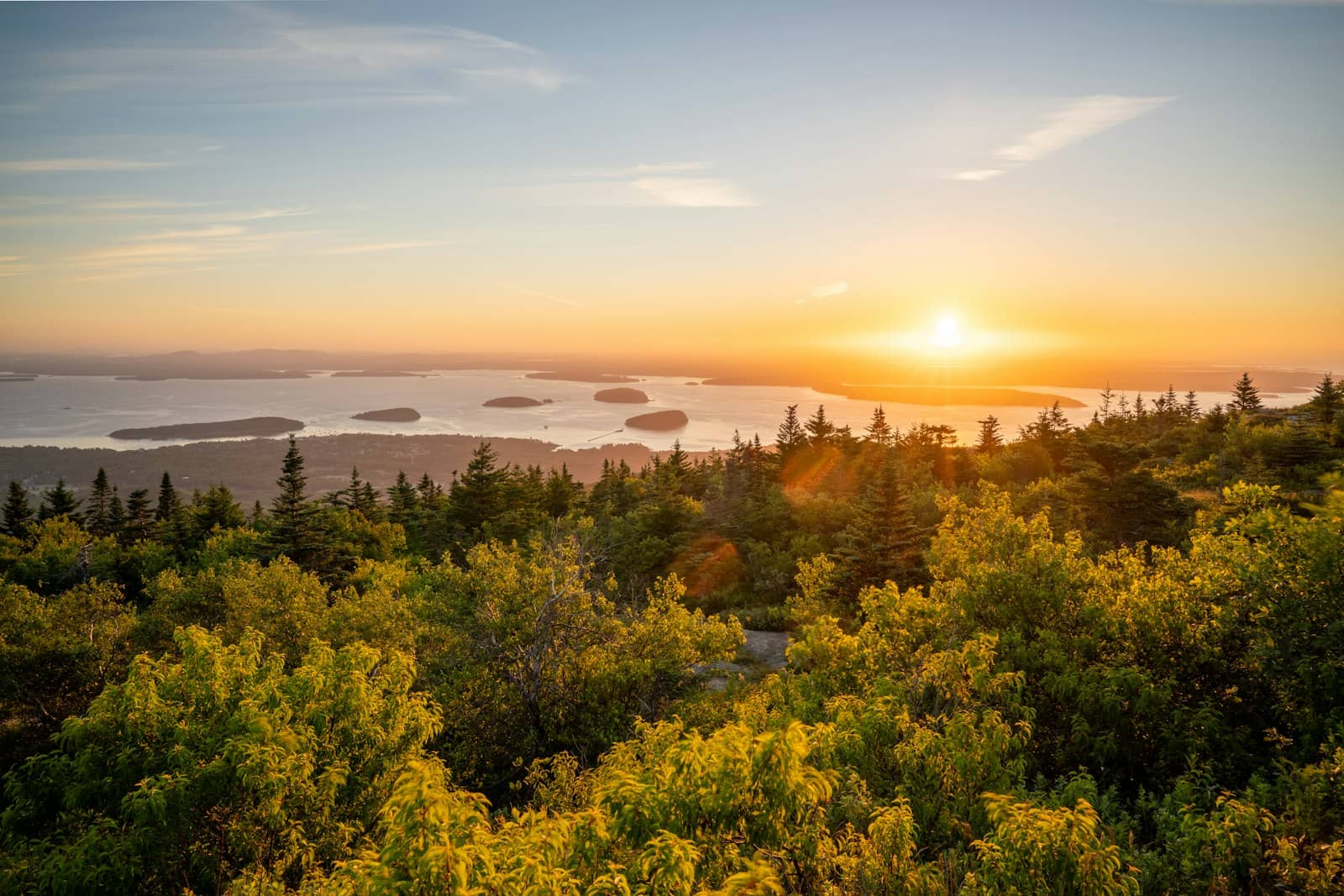
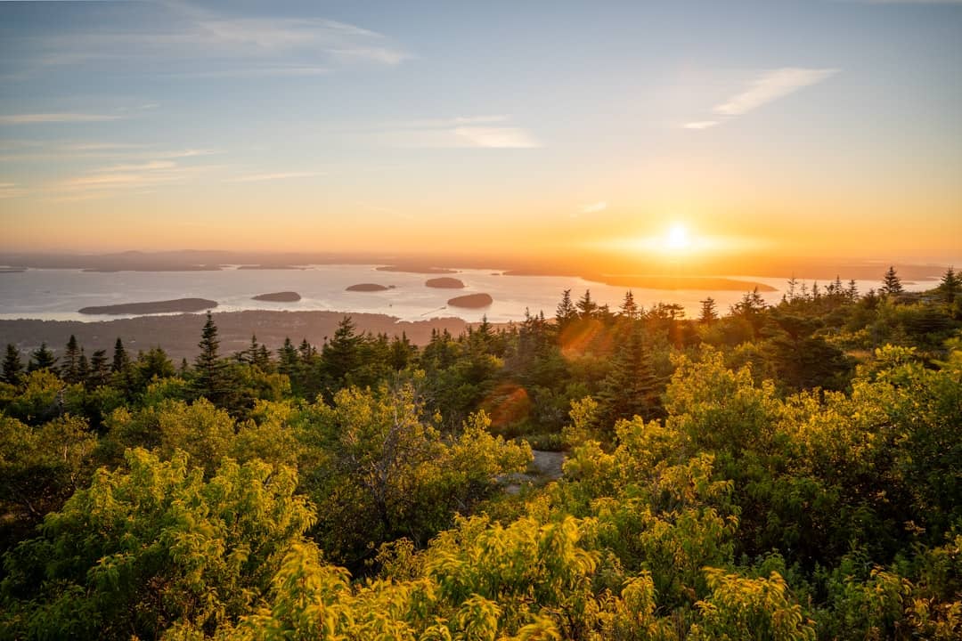
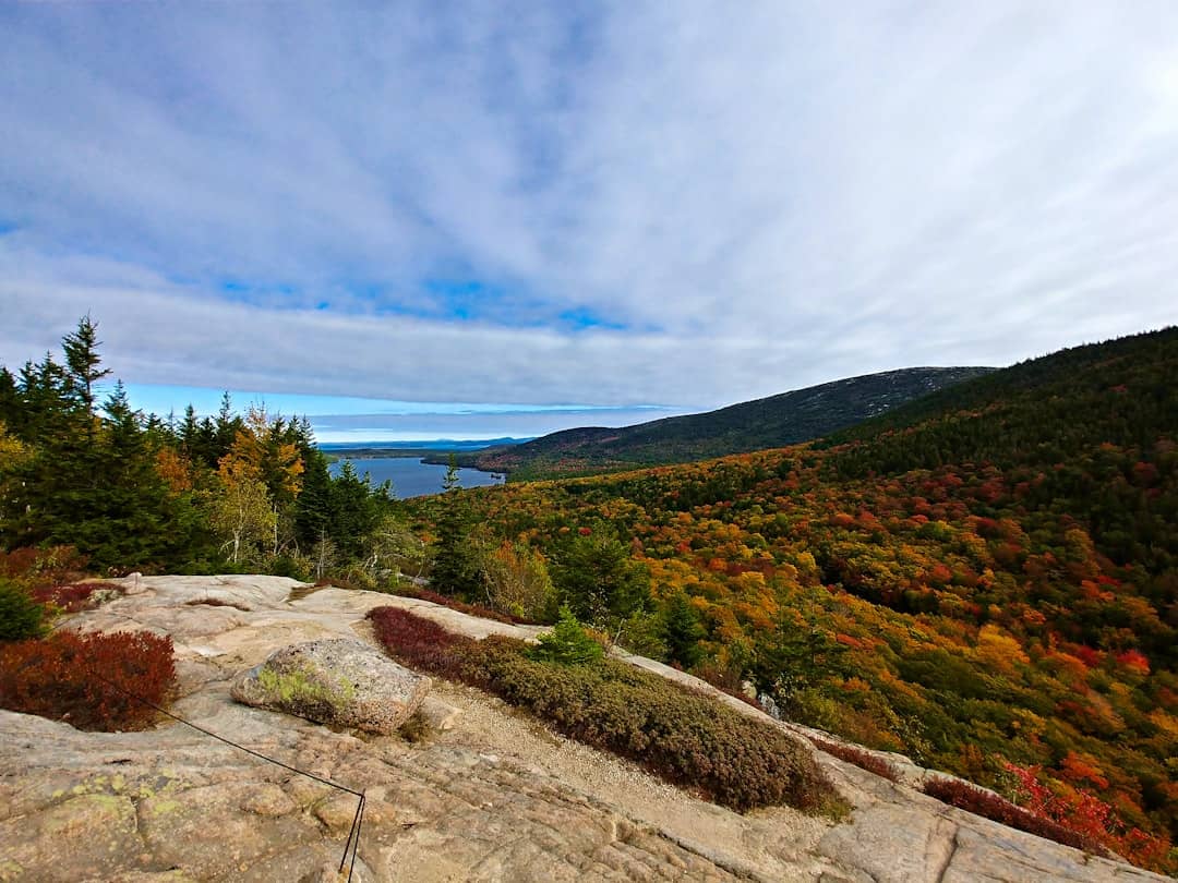
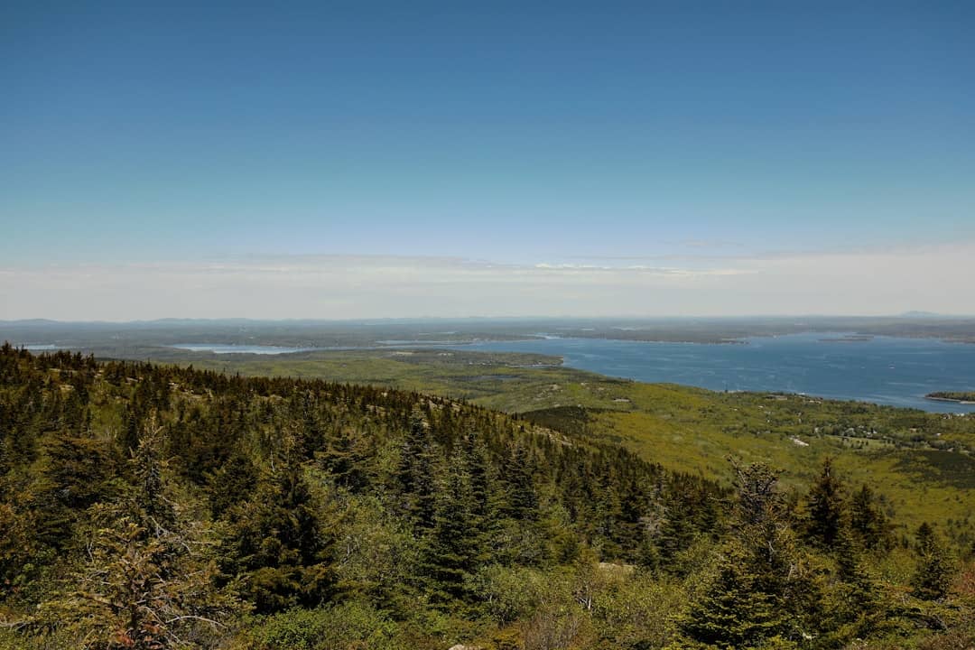
Cadillac is the summit the whole park is organised around. At 1,530 feet it is the highest point on the Atlantic coast of the United States, and for part of the year it is the first ground in the country the sun touches. That claim is usually stretched: it is often repeated as running from October to March, but ranking Cadillac against Maine's other candidates — Mars Hill, West Quoddy Head, Katahdin and Eastport — puts its stint at roughly ten weeks around midwinter. For most of the year the first light lands somewhere else. Our first sunrise tracker computes the winner for any given day.

The summit road is a 3.5-mile drive, not a hike, which is what surprises people: you can be standing on the highest point in the park twenty minutes after leaving Bar Harbor. During the reservation season you need a timed vehicle slot to make that drive, booked through recreation.gov and entirely separate from your park entrance pass. Sunrise slots are the first to go, and they go early.

Two things worth knowing before you commit to the dawn version. It is cold and exposed up there well outside summer, considerably colder than the town you drove from. And sunset is the easier trip by a wide margin: the same view, the same road, no alarm, and far less competition for a booking. If the first-light claim is not the specific thing you came for, go in the evening.

You can also walk up. The North Ridge and South Ridge trails both reach the summit and both need no reservation, because the booking applies to the road rather than to the mountain.

Details

green trees near body of water during daytime
Cadillac Mountain|Photo by Ran Ding on Unsplash
5

Sand Beach

See main listing

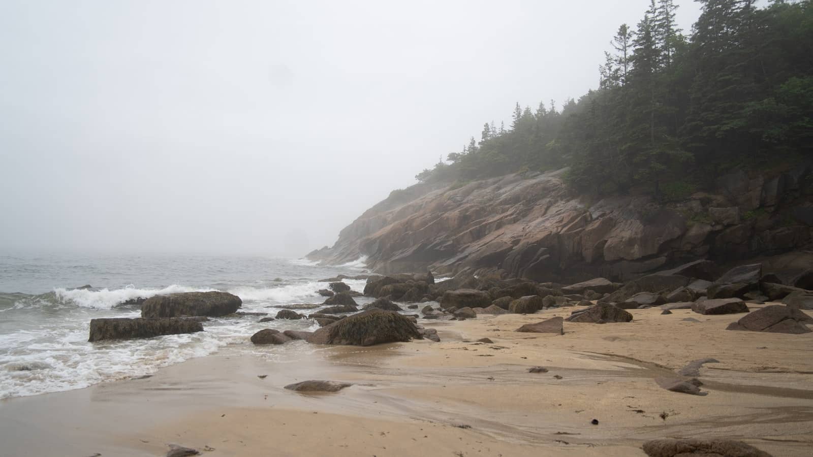
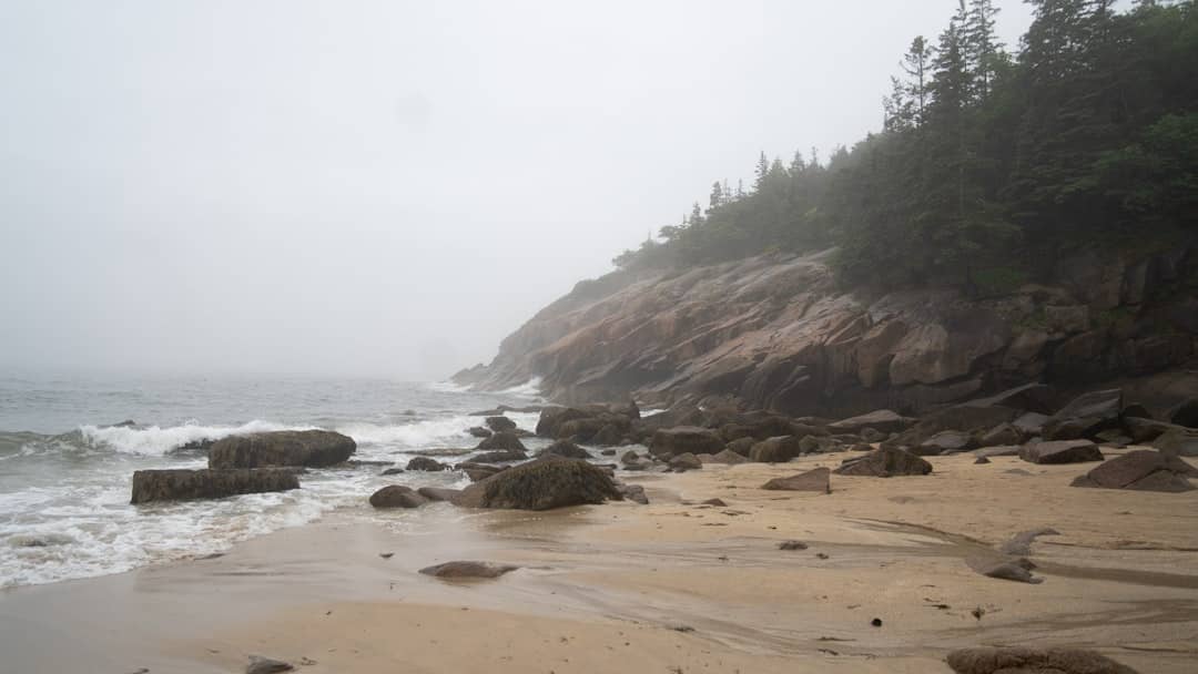
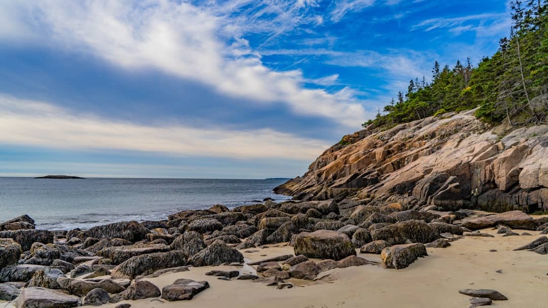
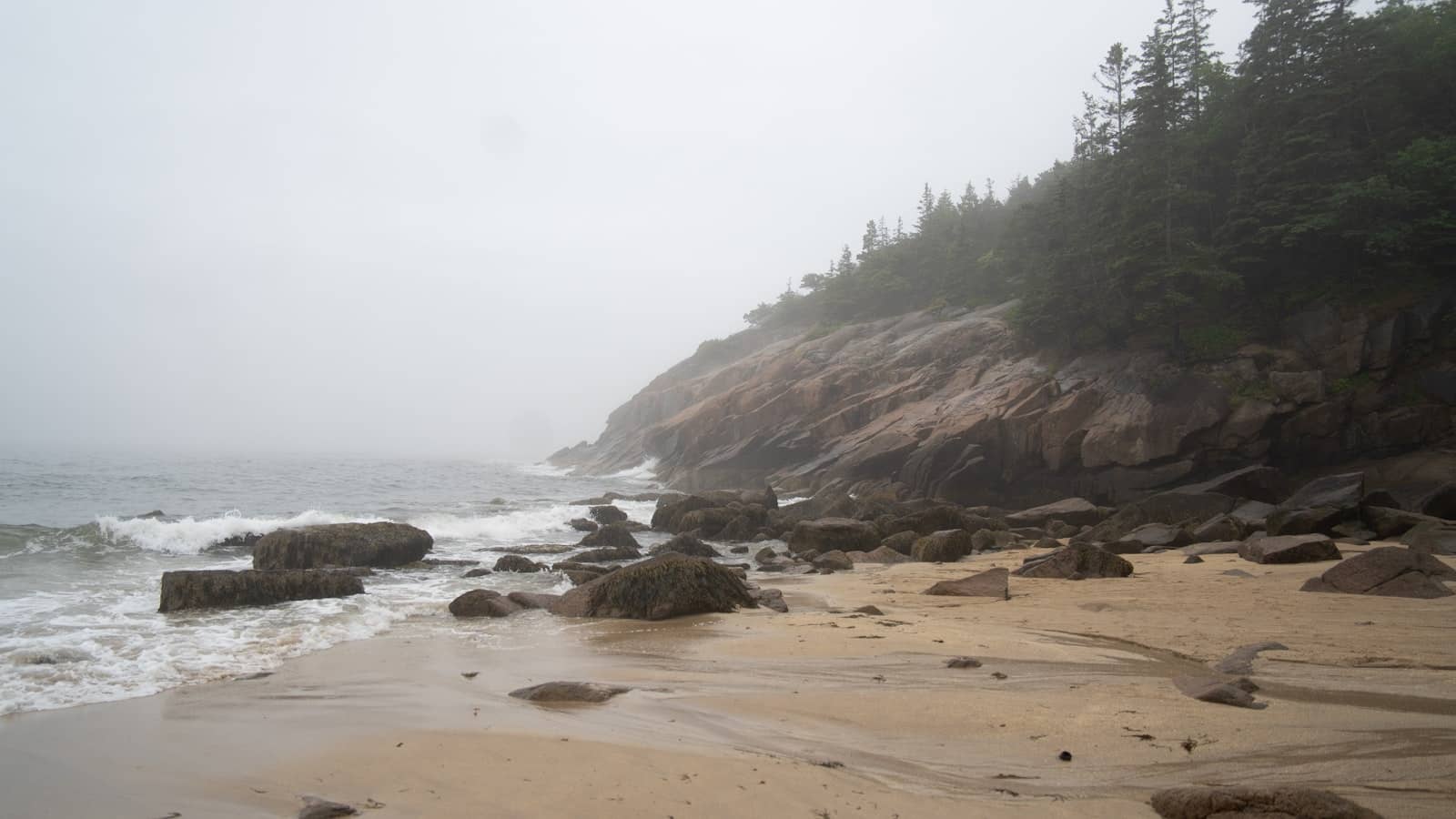
Sand Beach is a short crescent of pale sand held between two granite headlands, and it is unusual enough on this coast to be a destination in its own right. The sand is not really sand in the ordinary sense: a large proportion of it is ground-up shell and the remains of marine organisms, which is why it is paler and coarser underfoot than a southern Maine beach.

The water is the thing to be realistic about. Even at the end of August, when Maine's sea is at its annual warmest, this stretch of open coast sits somewhere around the mid-fifties Fahrenheit. People swim, briefly, and mostly loudly. Treat it as a place to sit and look rather than a beach day, and it is superb.

Its real strategic value is as a trailhead. The Ocean Path starts here and runs flat and wide down to Thunder Hole and Otter Cliff. The Beehive starts across the road and goes almost straight up. From one car park you can choose the easiest good walk in the park or the most alarming one.

The car park fills early in summer and is one of the strongest arguments for the Island Explorer shuttle.

Details

a sandy beach with rocks and trees on a foggy day
Sand Beach|Photo by Derek Laliberte on Unsplash
6

Wild Gardens of Acadia

See main listing

The Wild Gardens sit in the Sieur de Monts area and are small enough to walk in half an hour, which undersells how useful they are. The planting is arranged by habitat rather than by family: a bog section, a coniferous woods section, a mountain section, a seaside section, each holding the species you would actually meet in that part of Acadia, labelled.

Do this early in a trip and the rest of the park becomes legible. The plant you cannot name on the Jordan Pond loop or the shrub growing out of bare granite on Cadillac is almost certainly in here with a label on it.

Sieur de Monts itself is worth the stop regardless: it is the spring and the small nature centre where the park effectively began, and it is a short, flat, shaded walk in a park where most things involve granite.

Details

7

Beehive Trail

See main listing

The Beehive is a small mountain with a large reputation. The climb is short — it is well under a mile to the top — but a good part of it goes up a cliff face on iron rungs, ladders and narrow ledges bolted into the granite, with a long drop beside you and no way to step aside and let your nerve recover.

This is the single most important thing to understand about Acadia's trail network: difficulty here is not measured in distance. The Beehive would be a trivial walk if it were laid flat. What makes it hard is that it is vertical and exposed, and that the exposure arrives quickly and does not let up until the top.

Do not start it in the wet. Wet granite and wet iron are a different proposition entirely, and the descent route is not the way you came. Do not start it carrying a small child, and think hard about it if heights are a problem for you, because the point of no return comes early and the traffic on the ladders is one-way in practice.

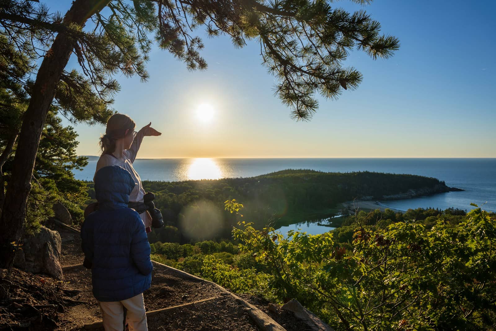
For everyone else it is one of the best half-hours in the park, and the view back down over Sand Beach and the open Atlantic is the payoff. If it sounds like too much, the Ocean Path from the same car park gives you a version of the same coastline at ground level.

Details

a woman and a man looking at the sun
Beehive Trail|Photo by Mike Burke on Unsplash
8

Jordan Pond Path Trailhead

See main listing

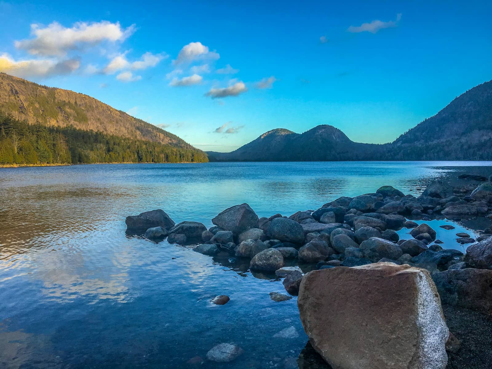
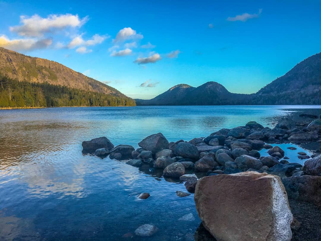
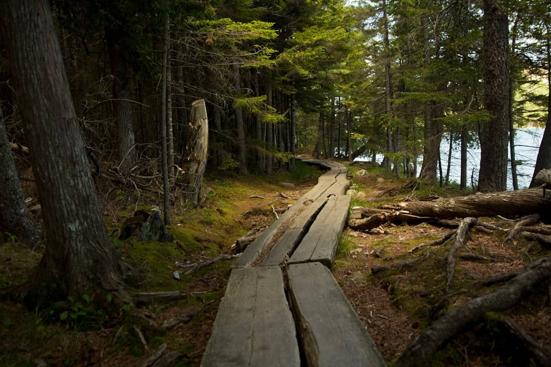
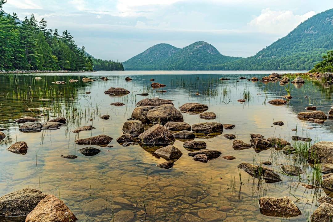
Jordan Pond is the postcard: a long, exceptionally clear glacial pond with two rounded hills, the Bubbles, sitting at the far end of it like a matched pair. The loop path runs 3.3 miles all the way round, and the northern half crosses boggy ground on log bridges — the famous, occasionally treacherous, plank walkways — while the southern half is easy going.

The clarity of the water is not an accident and it is protected: this is a public water supply, which is why there is no swimming and no wading. It is also why the pond looks the way it does in photographs.

The Jordan Pond House sits at the southern end and has been serving tea and popovers on the lawn since the nineteenth century, which makes it the one genuinely traditional thing to do in the park. It is extremely popular and the wait can be long in season.

The loop is also a good introduction to the carriage roads, which pass close by, and it is one of the easier places in Acadia to spend a couple of hours without a climb.

Details

gray rocks on body of water during daytime
Jordan Pond Path Trailhead|Photo by Nanda Firdaus on Unsplash
9

Bar Island Land Bridge

See main listing

Twice a day a gravel bar surfaces at the end of Bridge Street in Bar Harbor and you can walk, dry-shod, straight out to Bar Island. It is one of the few places anywhere that a national park trailhead is at the end of a residential street and only exists for part of the day.

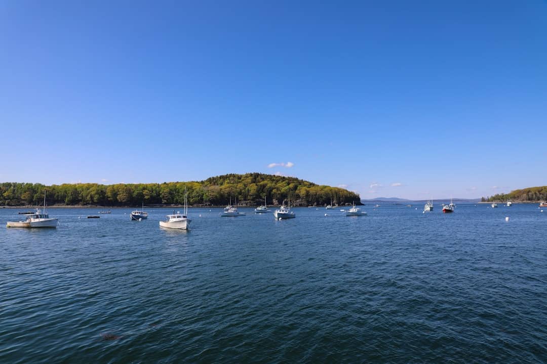
The window is roughly an hour and a half either side of low water, so about three hours in total, and the crossing itself takes ten minutes or so. Once across, a track climbs to a clearing with a view back over Bar Harbor and the harbour full of boats.

The failure mode here is well documented and entirely avoidable. The bar floods from both ends at once rather than gradually from one side, people get cut off on it every single summer, and the return walk always takes longer than it looked from the island. Cross early in the window rather than late, and set an alarm rather than trusting your sense of how long you have been gone.

Tide times for Bar Harbor are published daily and are the only thing that determines whether this walk exists on the afternoon you are free.

Details

10

Ocean Path Trailhead

See main listing

If you only have time for one walk in Acadia, this is the one to choose. The Ocean Path runs roughly two miles from Sand Beach along the top of the granite shore, past Thunder Hole, to the cliffs at Otter Point. It is wide, largely level, and it never leaves the coast.

What makes it exceptional is the ratio. Almost everything people come to this park to look at — pink granite meeting open Atlantic, spruce growing out of rock, surf in the inlets — is visible from a path that requires no fitness and no equipment. You can turn round at any point, and the Island Explorer shuttle stops at both ends in season, so it works as a one-way walk.

Go early or late. It runs parallel to the Park Loop Road and shares its crowds in the middle of the day, but at seven in the morning it is close to empty and the light is coming straight up the coast at you.

Stay on the path where it is marked. The granite slabs beside it look inviting and are steeper and more slippery than they appear, particularly where they are wet or have algae on them.

Details

11

Bar Harbor Shore path

See main listing

The Shore Path runs from near the town pier around the eastern edge of Bar Harbor, with the Porcupine Islands offshore on one side and the back gardens of some very large houses on the other. It is flat, it is about half a mile each way, and it takes twenty minutes at a stroll.

It has been open to the public since the 1880s, which is a genuinely unusual arrangement: the path crosses private land by long-standing agreement rather than by right. That is worth knowing because it is the reason to stay on it.

As a piece of trip planning it is the answer to the awkward hour — the time before a dinner reservation, the wait for a boat, the evening when the park itself feels like too much effort. It is also the best place in town to watch the light go off the islands.

Details

Planning the practical side

Two separate things get confused constantly. An entrance pass covers your presence in the park and is valid for several days; the America the Beautiful annual pass covers it too. A vehicle reservation is a different thing entirely, a timed slot required only to drive the Cadillac Summit Road during the reservation season. You can spend a week in Acadia without ever needing the second one, but if sunrise from Cadillac is the reason you came, book it the moment the window opens, because sunrise slots are the first to go.

The Park Loop Road is the spine of a first visit: roughly 27 miles, one-way for most of its length, linking Sand Beach, Thunder Hole, Otter Cliff and Jordan Pond. Parking at the popular stops fills by mid-morning in summer. The free Island Explorer shuttle runs the corridor in season and removes the parking problem, which is the single best piece of logistics advice for a July or August trip.

Beyond the road there are about 158 miles of hiking trails and 45 miles of crushed-stone carriage roads: the network John D. Rockefeller Jr. built to be car-free, which is why they are now the best cycling in the park and, in winter, its ski trails.

Getting here

From Portland, it is roughly three hours up I-295 and I-95 to Bangor, then Route 1A and Route 3 through Ellsworth, or considerably longer and much better on coastal Route 1, which is the version worth doing if you have the day. From Bangor, the nearest airport with meaningful service, it is about an hour. Trenton, just before the causeway, is where the traffic backs up on summer weekends.

Where to base yourself

Bar Harbor has the most rooms, restaurants and boat trips, and puts you closest to the Park Loop Road. Southwest Harbor and Northeast Harbor, on the quiet side of Somes Sound, trade nightlife for calm and shorter queues. Ellsworth, twenty minutes inland, is the value option and the last full-size supermarket before the island.

A first two days, in order

If you have never been, this is the sequence that wastes the least time. Day one: start at Hulls Cove for the map and whatever the rangers know that the internet does not, then drive the Park Loop Road clockwise. Park once at Sand Beach and walk the Ocean Path to Thunder Hole and on to Otter Cliff rather than driving between them, which is the single biggest saving of the day. Finish at Jordan Pond, walk as much of the loop as the light allows, and eat there if you are prepared to wait.

Day two: go up Cadillac, at sunset unless first light is specifically the thing you came for, and spend the rest of the day on the other side of Somes Sound — Bass Harbor Head Light for the evening, Echo Lake if anyone wants to swim in water that is not fifty-five degrees, Southwest Harbor for dinner. If you would rather climb something, the Beehive is the famous option and Gorham Mountain from the same road is the version without ladders.

Anything beyond two days is where Acadia gets good: the carriage roads on a bike, Schoodic, a boat, or simply the same coast at six in the morning with nobody on it.

The carriage roads

Forty-five miles of crushed-stone road run through the eastern half of the island, built between 1913 and 1940 and paid for by John D. Rockefeller Jr., who wanted a network you could travel by horse and carriage without meeting a motor car. They are closed to cars still, which is exactly why they are now the best cycling in the park and, when the snow comes, its ski and snowshoe trails.

The surface is packed gravel rather than tarmac, so a hybrid or a mountain bike is happier than a road bike, and rental shops in Bar Harbor exist for precisely this. Seventeen hand-cut granite bridges are scattered through the network, each one different, and hunting them down is a better organising principle for a day than simply riding.

They also solve a problem: on an August afternoon when every coastal car park is full and the Loop Road is a queue, the carriage roads are quiet, shaded and inland.

The quiet half of the park

Most first visits never cross Somes Sound, and the island west of it is a different experience. Echo Lake has a sand beach and fresh water that actually reaches swimmable temperatures in summer, which the ocean does not. Beech Mountain and Acadia Mountain are proper climbs with proper views and a fraction of the Beehive's traffic. Long Pond is the island's largest body of fresh water and the place to put a canoe.

Schoodic Peninsula is the mainland piece of the park, about an hour's drive round from Mount Desert Island or a seasonal passenger ferry from Bar Harbor. It has one of the most dramatic stretches of surf-hammered granite anywhere in Acadia and, on a summer Saturday, almost nobody on it. Isle au Haut, reached by mail boat from Stonington, is the most remote piece of all and a genuine expedition rather than an afternoon.

What lives here

Acadia is small and busy, so the wildlife is mostly the accessible kind: harbour seals hauled out on ledges, porpoises from a boat, and around a peninsula this size, a lot of birds. Peregrine falcons nest on the cliffs and are the reason the Precipice Trail and sometimes others close from spring into midsummer — that closure is not advisory, and the rangers post which trails it affects each year.

The park sits on the Atlantic flyway, so spring and autumn migration are serious birding. Offshore, whale watching runs out of Bar Harbor in season and goes far enough out to be a half-day commitment rather than a harbour cruise. Beavers are active around the ponds at dusk, and moose, contrary to a persistent expectation, are essentially absent from Mount Desert Island — for those you want the North Woods.

When to come

Late September into mid-October is the strongest week-for-week combination in the year: foliage on the hills, facilities still open, water still relatively warm, and enough of the summer crowd gone to make a difference. It is also when Cadillac resumes being the first place in the country to see sunrise, and when the summit reservations get competitive.

July and August are warmest, busiest and the only reliable window for boats and swimming, and they are when the Island Explorer and an early alarm stop being suggestions. May and June are green, quiet and cheap, with the caveat that black flies peak in the second half of May and the first half of June, and that the coast is the mildest place in Maine for them. Winter closes most of the Park Loop Road and nearly all facilities, and turns the carriage roads into a cross-country ski network with the whole island to yourself.

Getting around without a fight

The Island Explorer is a free propane-powered shuttle running fixed routes around Mount Desert Island and into the park in season, funded partly by the entrance fees. It links Bar Harbor, the campgrounds, the Loop Road stops and the quiet-side villages. Using it converts the worst part of an Acadia summer day — circling a full car park at eleven in the morning — into a non-problem, and it lets you walk trails one way rather than out and back.

If you do drive, go early. Sand Beach and Jordan Pond fill first, and by mid-morning in August the overflow is parked along the roadside for a considerable distance. The Loop Road is one-way for most of its length, so a missed turning is a full lap.

Common questions

Where is Acadia National Park?

Acadia is on the central Maine coast, about three hours north-east of Portland and an hour south-east of Bangor. Most of it sits on Mount Desert Island, reached from Ellsworth on Route 3; the rest is split between the Schoodic Peninsula on the mainland and part of Isle au Haut.
What town is Acadia National Park in?

There is no single one. The park is spread across several Mount Desert Island towns (Bar Harbor, Mount Desert, Southwest Harbor and Tremont) with Bar Harbor acting as the main base for lodging, food and boat trips.

Do you need a reservation for Acadia National Park?

You need an entrance pass to be in the park, and separately a timed vehicle reservation to drive the Cadillac Summit Road during the reservation season. The rest of the park, including the Park Loop Road, does not require a timed booking. Both are issued through recreation.gov, and the summit slots for sunrise go quickly.

How long do you need in Acadia?

Two full days covers the Park Loop Road, one Cadillac sunrise or sunset and a half-day hike. Three or four lets you add the quieter western side of the island, Schoodic, or a boat trip without rushing.

When is the best time to visit Acadia?

Late September into the first half of October is the strongest combination of open facilities, foliage and thinner crowds. July and August are warmest and busiest; the Park Loop Road and most facilities close for winter, when the carriage roads turn into ski and snowshoe routes.

Is Acadia National Park free?

No. Acadia is one of the national parks that charges an entrance fee, valid for several days, with an annual park pass and the America the Beautiful pass both accepted. Current prices are on the National Park Service site.

Guides

Acadia, in detail

green trees on mountain under blue sky during daytime
Guides

Things to Do in Bar Harbor, Maine: Top 15

Destinations
green trees on brown rocky mountain beside blue sea under blue sky during daytime
Guides

Hiking in Acadia National Park: The 10 Best Trails

Outdoors
bird's eye view photography of mountains under blue sky
Guides

Acadia National Park Animals: A Wildlife Guide

Outdoors
a sandy beach with rocks and trees on a foggy day
Guides

Sand Beach & Acadia National Park's Other Beaches

Coast
gray rocks on body of water during daytime
Guides

Acadia National Park Images: Best Views & Photo Spots

Outdoors
a rocky cliff overlooks a body of water
Guides

Acadia National Park With Kids: A Family Guide

Family
green trees near body of water during daytime
Guides

Facts About Acadia National Park: How It Was Made

Guides
green and brown mountain near blue sea under blue sky during daytime
Guides

Lighthouses In and Near Acadia

Destinations
a shack with a lot of buoys hanging from it's side
Guides

Best Hikes Near Bar Harbor

Destinations
a rocky beach with trees and water
Guides

Beaches Near Bar Harbor

Destinations
white motorboat in body of water during daytime
Guides

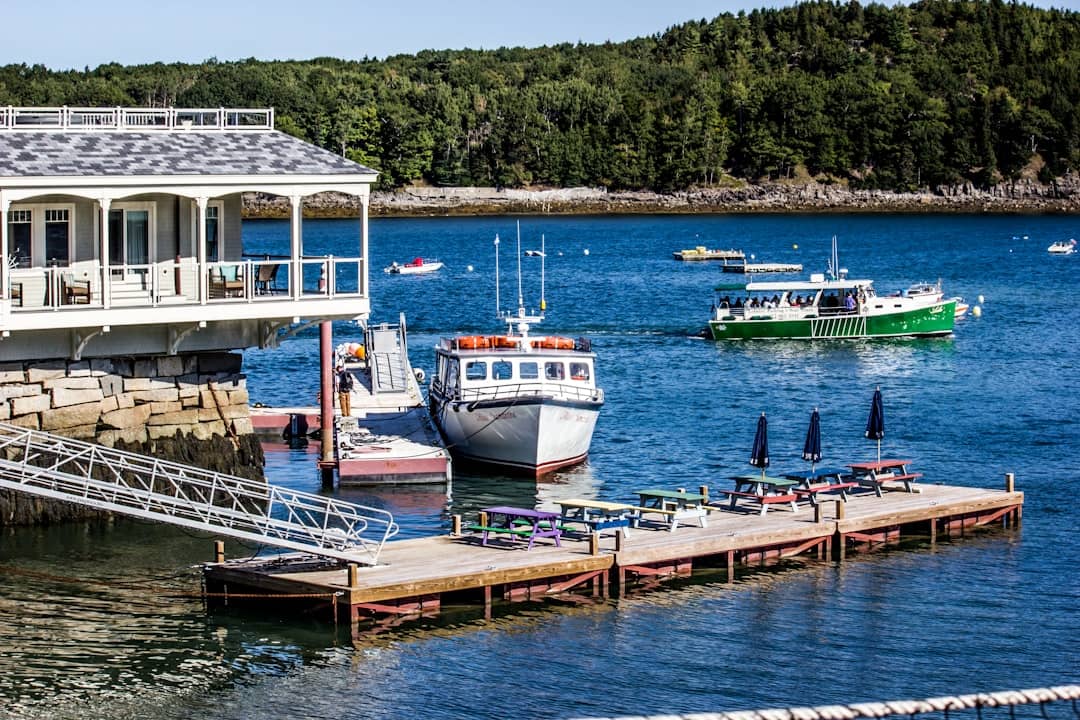
Bar Harbor Fishing Charters & Boat Tours

Coast
landscape photography of mountain with trees
Guides

Historic Sites in Bar Harbor

Destinations
brown wooden bench on forest during daytime
Guides

Ellsworth to Acadia: Driving the Trenton Corridor

Guides
a light house sitting on top of a pier
Guides

Things to Do in Ellsworth, Maine: A Local's List

Destinations
brown rocks on water near green trees during daytime
Guides

Must-See Places in Downeast & Acadia

Destinations
boats parked on dock during daytime
Guides

The Best Hotels in Bar Harbor

Where to Stay
green palm tree near sea during daytime
Guides

The Best Hotels in Mount Desert Island

Where to Stay
brown and gray rocks by the sea during daytime
Guides

The Best Hotels in Southwest Harbor

Where to Stay
selective-focus photo of purple hyacinth
Guides

The Best Hotels in Ellsworth

Where to Stay
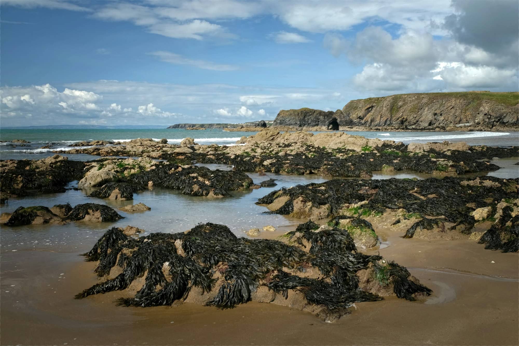
Rocky shoreline with seaweed under a cloudy sky
Guides

Where to Stay in Downeast & Acadia

Where to Stay
a rocky beach with trees and water
Guides

Spas and Wellness in Bar Harbor

Destinations
a body of water surrounded by rocks and water
Guides

Acadia National Park Trip: 1, 2 & 3-Day Itineraries

Guides
Jagged rocks on a coastline with waves crashing.
Guides

Acadia National Park in Summer, Fall, Spring and Winter

Guides
a rocky beach with a body of water in the background
Guides

Acadia National Park Hours, Passes & Entrances

Guides
Rugged cliffs meet the ocean under a cloudy sky.
Guides

Acadia National Park Visitor Centers: Hulls Cove

Guides
Waves crashing on rocky coastline with green foliage.
Guides

How to Get to Acadia National Park: Every Route

Guides
an aerial view of a beach with rocks and water
Guides

Portland, Maine to Acadia: Drive Times & Stops

Guides
grey rocks during daytime
Guides

Acadia National Park Scenic Drive: Park Loop Road

Outdoors
rock formations beside body of water at daytime
Guides

Biking in Acadia National Park: Carriage Road Guide

Outdoors
People walk on a rocky coastline with a path.
Guides

Acadia National Park Camping: Where to Book and When

Outdoors
a row of beer glasses sitting on top of a wooden tray
Guides

Bar Harbor Campgrounds: KOA, Oceanside & More

Where to Stay
a view of the ocean with mountains in the background
Guides

Glamping Near Acadia: Under Canvas & Beyond

Where to Stay
a body of water surrounded by rocks and grass
Guides

Acadia Lodging: Where to Stay Near the Park

Where to Stay
Rocky coastline with clear blue ocean water.
Guides

Towns Near Acadia National Park: Where to Base

Where to Stay
brown and green rock formation on sea under blue sky during daytime
Guides

Mount Desert Island: A Guide to Acadia's Island

Destinations
Rocky coastline with evergreen trees and calm ocean.
Guides

Things to Do in Mount Desert: Acadia's Quiet Middle

Destinations
landscape photography of mountain
Guides

Acadia National Park in Winter: What's Open

Outdoors
Waves crash against rugged coastal rock formations.
Guides

Dogs in Acadia National Park: Rules and Trails

Outdoors
a view of a rocky shore with a body of water
Guides

Best Acadia National Park Tours

Guides
a glass of beer sitting on top of a table
Guides

Whale Watching in Bar Harbor: What You'll See

Coast
red lobster on white ceramic plate
Guides

Bar Harbor Lobster Bakes & Seafood

Food & Drink
a sandy beach with rocks and trees on a foggy day
Guides

Things to Do in Acadia National Park: Ranked

Outdoors
All Guides

Destinations

Towns near the park

Hotels

Where to stay near Acadia

$$$

Hotel

Mount Desert Island

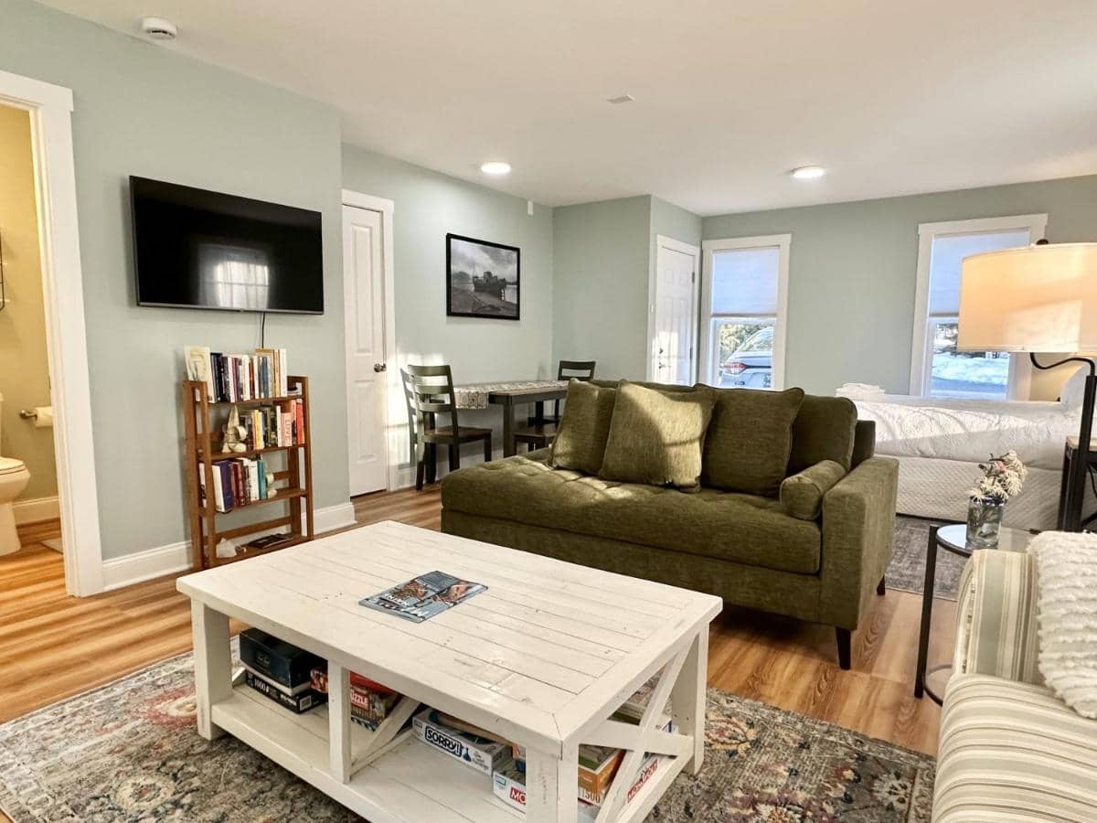
Cozy Apartment with Deck in Northeast Harbor

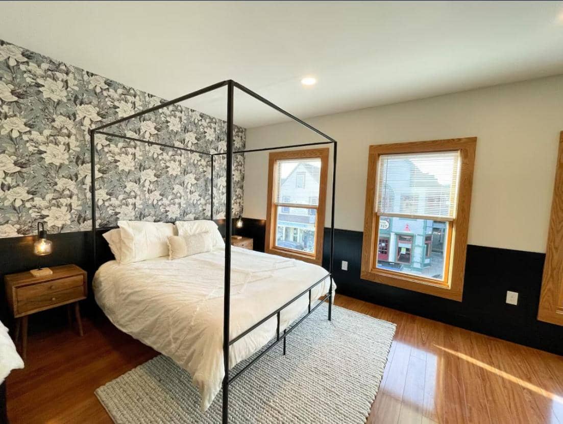
Private 1-bedroom apartment in Northeast Harbor, 5 miles from Acadia National Park. Full kitchen, fireplace, free WiFi & parking. Perfect for Acadia visitors.

$$$

Hotel

Bar Harbor

Saltair Inn Waterfront B&B

Beachfront B&B on Frenchmen Bay with exceptional breakfast, private beach access, and walkable downtown location. 46 reviews, 9.8/10.

$$$

Hotel

Bar Harbor

Bayview Hotel

Waterfront 4-star hotel in Bar Harbor with sea views, included breakfast, shuttle service, and pool. Steps from Acadia National Park and downtown.

$$$

Hotel

Bar Harbor

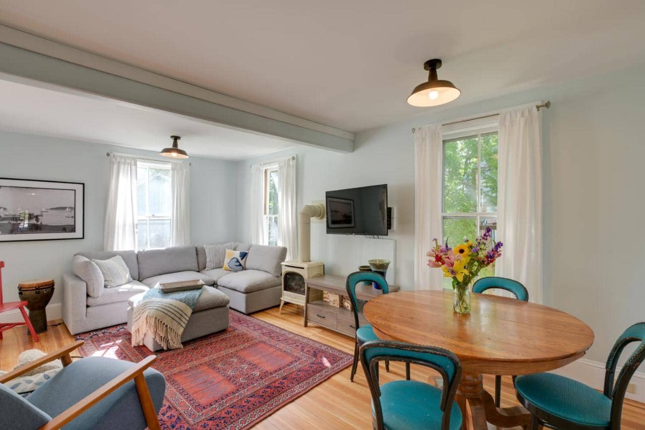
Bar Harbor Apartment

Spacious 2-bedroom apartment in downtown Bar Harbor with full kitchen, parking, and walkable access to the harbor and Acadia National Park.

$$$

Hotel

Bar Harbor

Cottage Street Downtown Apartment

Two-bedroom downtown Bar Harbor apartment steps from shops and restaurants, walking distance to Acadia. Free breakfast and parking included.

$$$

Hotel

Bar Harbor

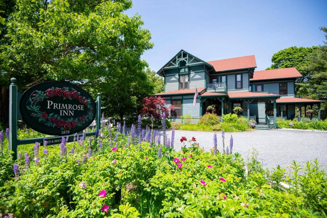
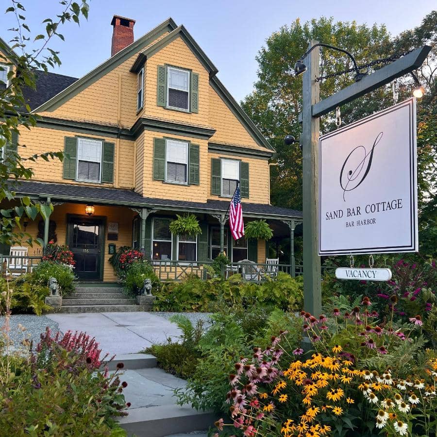
The Primrose

Exceptional 9.7-rated inn in downtown Bar Harbor with homemade breakfast, free parking, and fireplace rooms. Steps from Acadia National Park.

$$$

Hotel

Bar Harbor

Canterbury Suites B&B

Gourmet breakfasts, spacious suites, and hosts Martha & Tim make this Bar Harbor B&B the ideal base for Acadia visits. Walk to everything downtown.

$$$

Hotel

Bar Harbor

Chalet with a Private Beach in Acadia National Park

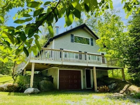
Oceanfront two-bedroom chalet steps from Acadia National Park. Private beach access, fully equipped kitchen, peaceful woodland setting near Bar Harbor.

$$$

Hotel

Bar Harbor

Deer Run Home

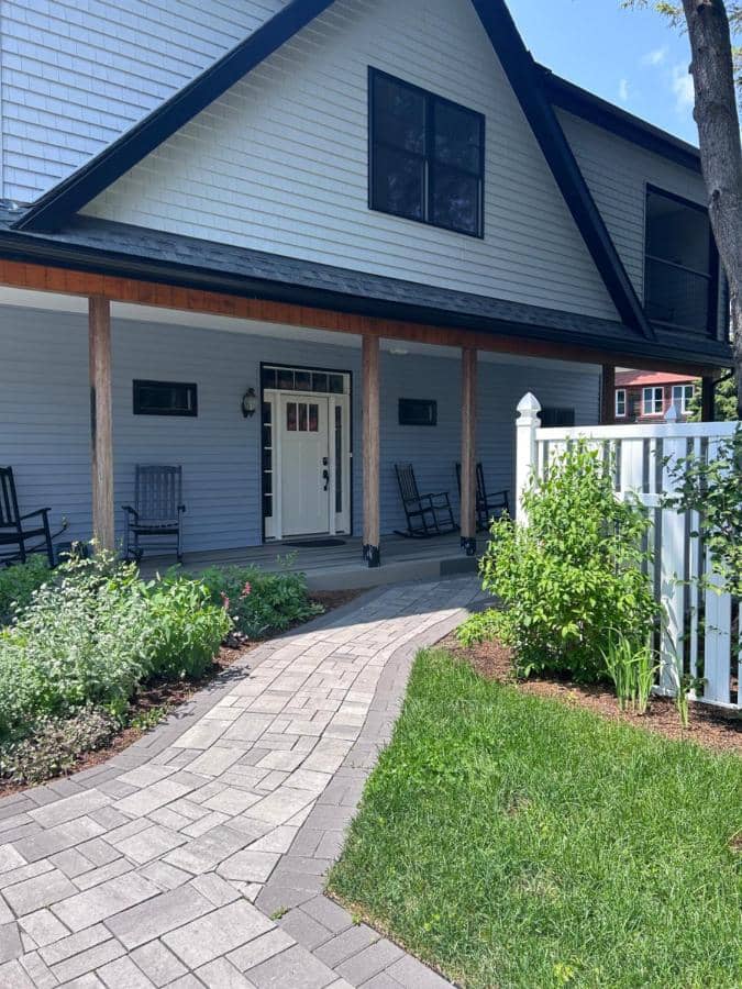
Spacious 2-bedroom home in Bar Harbor with full kitchen, free parking, and quiet location 10 minutes from Acadia National Park. Perfect for families.

$$$

Hotel

Acadia Bar Harbor

Somes Villa

Historic 1830s house rental in Somesville, 15 mins from Acadia & Bar Harbor. Four bedrooms, full kitchen, steam sauna. Perfect for families exploring Maine's coast.

$$$

Hotel

Bar Harbor

Downtown Bar Harbor Rental Home

Spacious 3-bedroom vacation home walkable to downtown Bar Harbor and steps from Acadia National Park. Fully equipped kitchen, fireplace, free WiFi.

$$$

Hotel

Bar Harbor

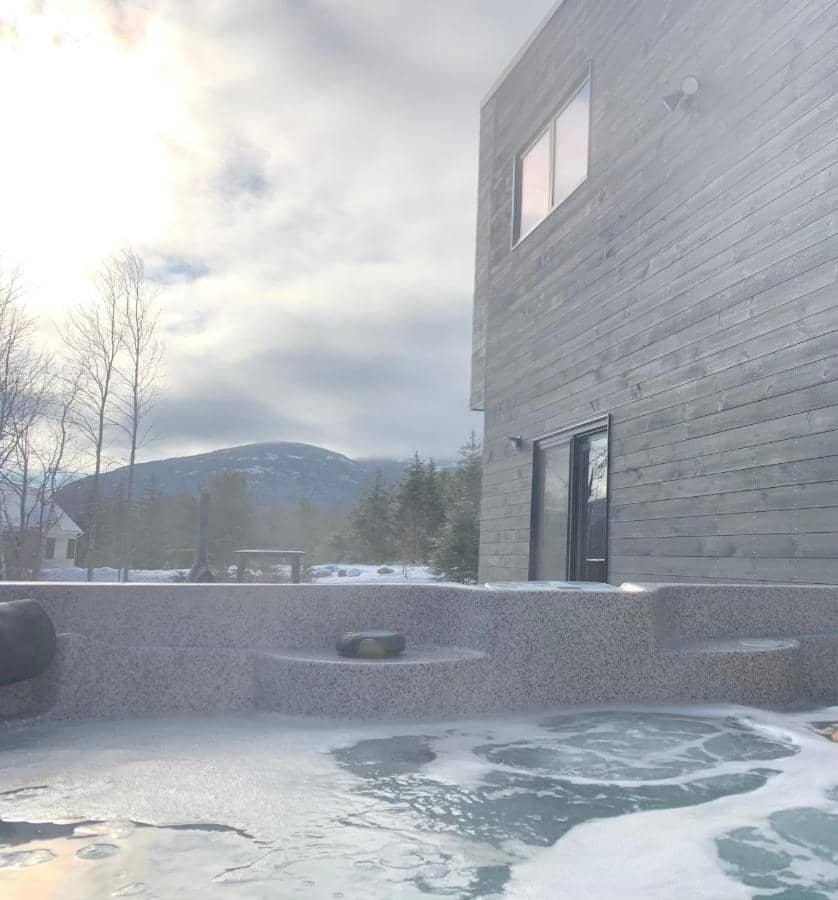
Private Oasis

Spacious 3-bedroom vacation home in Bar Harbor with hot tub, full kitchen, and mountain views. Walk to town and Acadia National Park.

All Hotels