1
Bar Harbor
See main listingGateway to Acadia National Park - Cadillac Mountain, puffin cruises, and a harbor town that fills with cruise ships from May to October.
Details


Guide
The Park Loop Road is the scenic drive in Acadia National Park: 27 miles that pick up the visitor center, the ocean cliffs, Jordan Pond and the road to the summit of Cadillac. You can nominally do it in an hour. Doing it in an hour is a waste of a day. Here is the order the road actually runs in, which pullouts earn a stop, and what to drive instead when the loop is jammed.
For more trip planning, see Maine Scenic Drives: Choose Coast, Lakes or Mountains.
Two things about the road catch people out, and both are geometric rather than scenic.
First, the eastern section is one-way. From the Sieur de Monts area south past Sand Beach, Thunder Hole and Otter Cliff, traffic runs in one direction only. Miss a turnout and you do not double back. You go around again, and that is twenty minutes minimum. Know your stops before you set off.
Second, on the one-way section you may park in the right-hand lane where it is not signed otherwise. This is unusual and it is the release valve that keeps the road working when the lots are full. It also means the pullouts you want are frequently a wall of parked cars, and you should be scanning well ahead rather than braking hard.
The road is seasonal. Sections close in winter and reopen in spring, with dates driven by snow and maintenance rather than the calendar, so check current status on nps.gov before a shoulder-season trip. An entrance pass is required.
Start here, north of Bar Harbor off Route 3. It rates 4.5 from 2,546 reviews, and its real value is not the exhibits but the ranger at the desk telling you what is closed, what is crowded and where the peregrines are nesting. The Park Loop Road begins at the exit. It closes for the winter season, at which point the Bar Harbor Chamber building in town becomes the place to ask.
A short spur off the loop and the first stop most people skip. They should not. The Wild Gardens of Acadia (4.6 from 725 reviews) is a compact garden laid out by habitat (bog, heath, mountain, seaside) with everything labeled, which turns the rest of your week's hiking into something you can read. The Sieur de Monts Nature Center (4.5 from 239 reviews) and a spring house sit alongside it, and the level Jesup Path and Hemlock Path Loop (4.8 from 32 reviews) leaves from the same lot on boardwalk through birch. Twenty minutes minimum, an hour if you like plants.
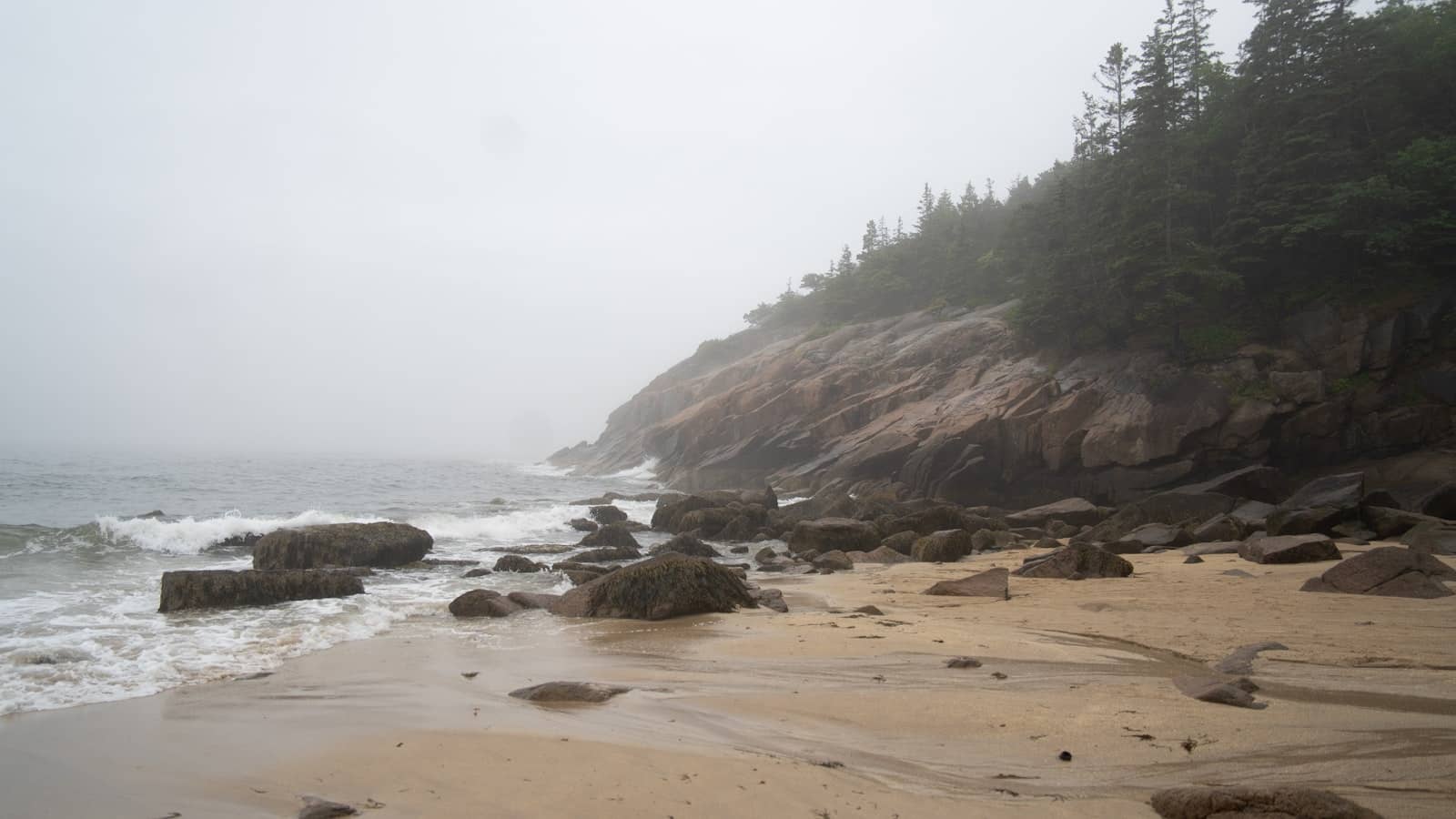
The one-way section starts and the ocean arrives. Sand Beach (4.8 from 970 reviews) is a crescent of shell-and-quartz sand between granite headlands, and it is the busiest pullout in the park. The lot fills by mid-morning through most of the summer. The water is cold enough that swimming is a stunt rather than a plan. Great Head (4.8 from 87 reviews) climbs from the far end of the beach onto the headland and gets you above the crowd in about fifteen minutes of walking.
Thunder Hole (4.6 from 3,222 reviews) is a mile further and the most-photographed stop on the road. It is also the most commonly mistimed: the boom needs both a rising tide and real ocean swell, and thousands of people arrive to find a quiet crack in the rock. Read our guide to timing Thunder Hole before you plan around it.
The better move on this stretch is to leave the car. The Ocean Path Trailhead (4.8 from 484 reviews) runs level along the cliff edge from Sand Beach past Thunder Hole to Otter Point, roughly two miles one way, with the whole coastline in view the entire time. Drive it and you see four pullouts. Walk it and you see everything between them.
Otter Cliff is a sheer granite face dropping straight into the Atlantic, and it is the postcard view of the eastern shore, better in early light than at midday. Just past it the road crosses the Historic Otter Cove Stone Bridge and Causeway (4.8 from 69 reviews), one of the road's own attractions: cut granite, built to look like it grew there. The mudflats on the inland side are worth a look at low tide.
The road turns inland and the character changes completely. The Jordan Pond Path Trailhead (4.8 from 569 reviews) circles a clear glacial pond with the two rounded Bubbles framing the far end. The single most recognizable inland view in Acadia. The full loop is about three and a half miles, half of it on plank walkway. Bubble Rock (4.8 from 378 reviews), a glacial erratic balanced absurdly on the edge of South Bubble, is a short steep climb from a lot just up the road.
The Jordan Pond House sits at the south end, and the lawn with tea and popovers is a genuine tradition rather than a marketing one. The parking situation is the worst in the park; arrive before mid-morning or take the shuttle.
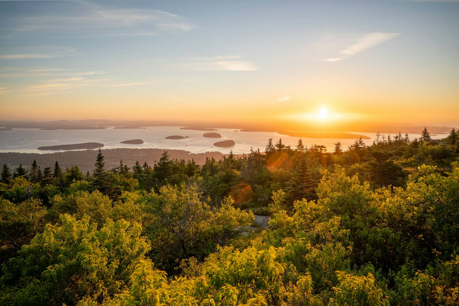
The 3.5-mile spur to the summit leaves from near the north end of the loop. Cadillac Mountain (4.9 from 1,528 reviews) is the highest point on the eastern seaboard of the United States, and the drive up is genuinely good. Switchbacks with Frenchman Bay opening up below. It requires a separate timed vehicle reservation in season, booked on recreation.gov and not included with your entrance pass. Our Cadillac Mountain guide covers how those release.
| How you drive it | Time | What you get |
|---|---|---|
| Straight through, no stops | About 1 hour | The shape of the park and not much else |
| Main pullouts only | 2 to 3 hours | Sand Beach, Thunder Hole, Jordan Pond, Cadillac |
| With the Ocean Path walked | 4 to 5 hours | The version worth doing |
| Full day | 6 to 8 hours | Add Great Head or Gorham Mountain and a meal |
Before 8am or after 4pm in July and August, without exception. Midday on a clear summer day the one-way section becomes a slow procession of cars looking for space, and the experience collapses. Early morning also gives you low light on the east-facing cliffs, which is when this coastline actually looks like the photographs.
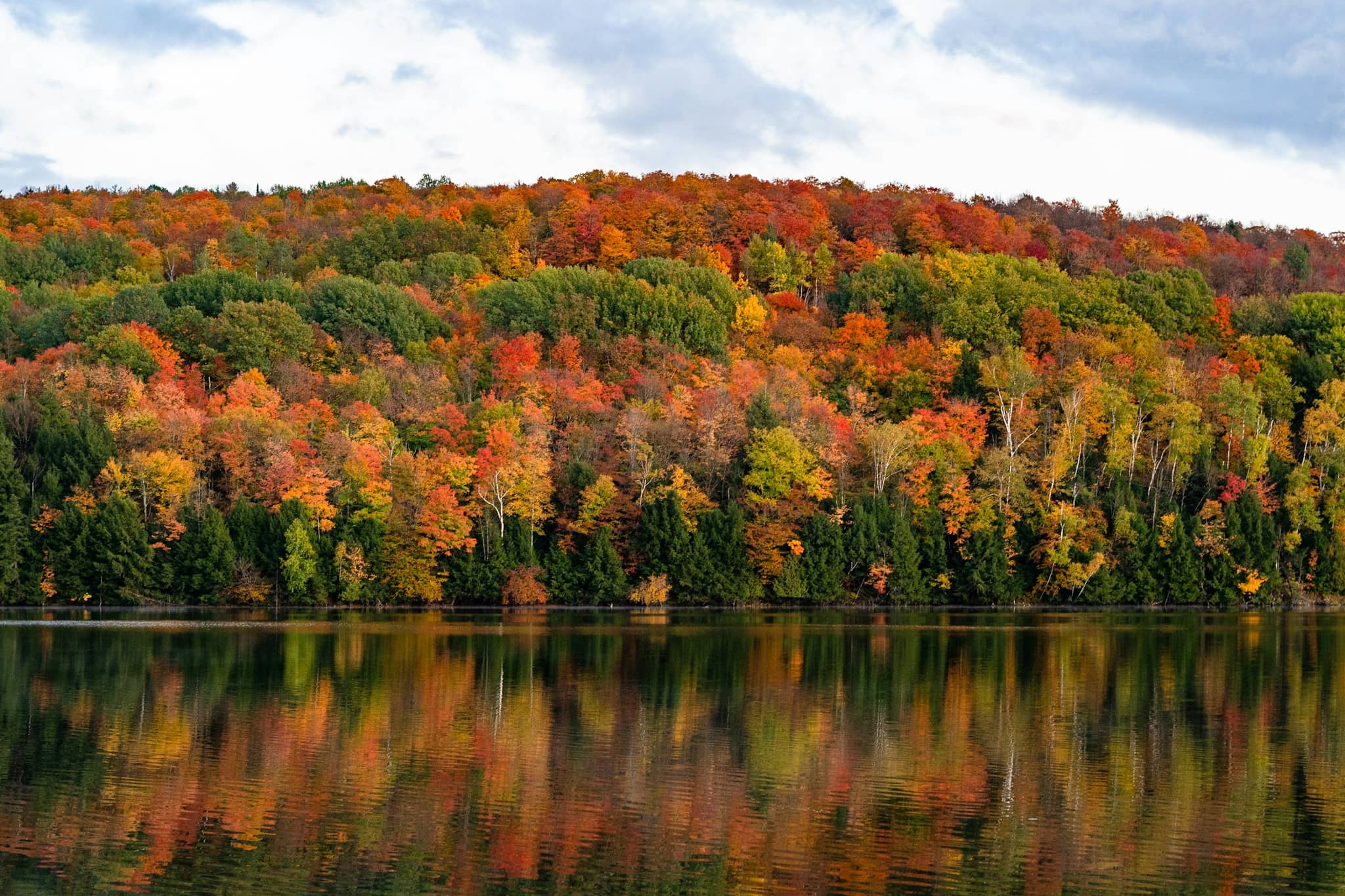
September and early October are the best weeks of the year: settled weather, thinning traffic, and foliage on the hills behind the shore. Winter closes sections of the road entirely. See our guide to Acadia in winter for what stays open.
If the lots defeat you, the fare-free Island Explorer shuttle runs the loop on a seasonal schedule from the Village Green in Bar Harbor (4.6 from 1,177 reviews). Riding one leg and walking another is the single best trick on this road.
The Park Loop Road is not the only scenic drive on Mount Desert Island, and on a crowded day it is not the best one.
About an hour with no stops, but that is not how anyone drives it. Allow two to three hours for the main pullouts, four to five if you walk the Ocean Path, and a full day if you add a hike and a meal at Jordan Pond. In peak summer, add time for parking. The lots at Sand Beach and Jordan Pond fill by mid-morning.
Partly. The eastern section from Sieur de Monts south past Sand Beach, Thunder Hole and Otter Cliff is one-way, and you cannot double back if you miss a turnout. The rest of the loop, including the Cadillac Summit Road and the western half, is two-way. On the one-way stretch you may park in the right-hand lane where signs do not prohibit it.
No reservation is needed for the Park Loop Road itself, only a park entrance pass. A separate timed vehicle reservation is required to drive the Cadillac Summit Road during the busy season, booked through recreation.gov. Sunrise slots are the hardest to get. Current dates and requirements are posted on nps.gov.
Only in part. Most of the loop closes to vehicles for the winter season, including the Cadillac Summit Road, though a section near the Bar Harbor end typically stays open year-round and the closed portions are used for skiing, snowshoeing and walking. Reopening dates depend on snow and maintenance rather than a fixed calendar, so check nps.gov before a spring visit.
Gateway to Acadia National Park - Cadillac Mountain, puffin cruises, and a harbor town that fills with cruise ships from May to October.
The working harbor on the quiet side of Mount Desert Island, with boatyards, Bass Harbor Head Light and easy Acadia access.
The quiet, moneyed side of Mount Desert Island, with a marina, two famous gardens, and fast access to Acadia.

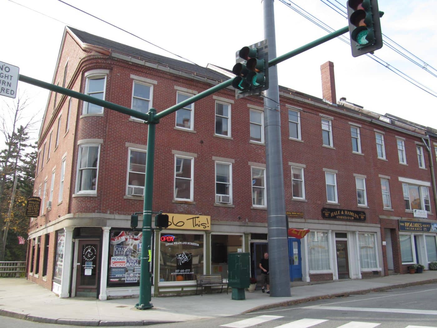
Gateway to Acadia - Main Street's shopping strip, the Colonel Black Mansion, and the scenic Union River dam walk.
Tools
Guides



Destinations
Downeast & Acadia
Gateway to Acadia National Park - Cadillac Mountain, puffin cruises, and a harbor town that fills with cruise ships from May to October.
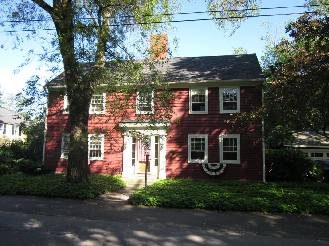
Southern Maine Coast
Dock Square boutiques, Goose Rocks Beach, and the Bush family's Walker's Point - the quintessential coastal Maine summer town.
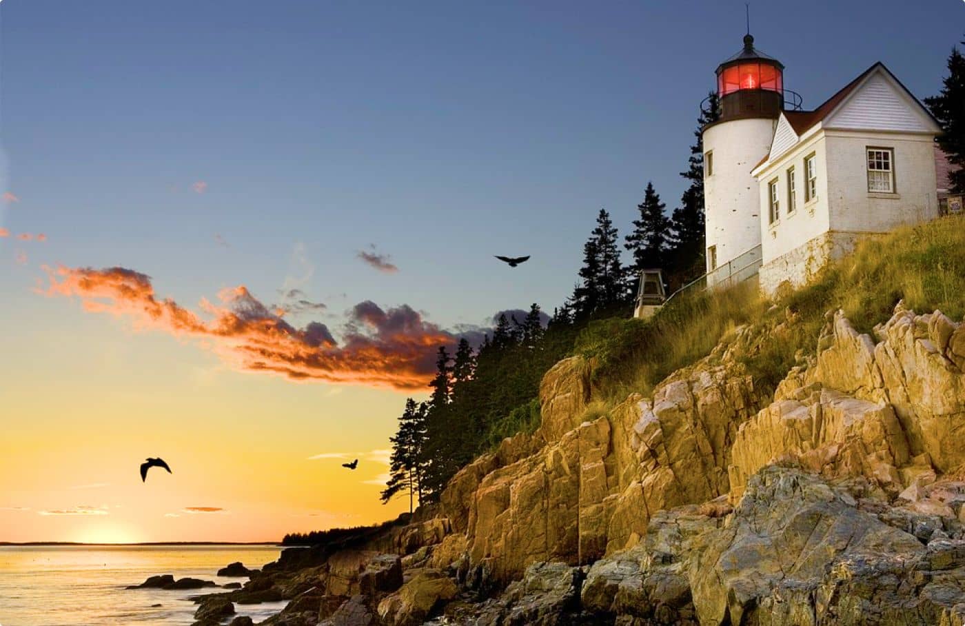
Greater Portland
Maine's largest city - a working waterfront, Old Port cobblestones, and a food scene that punches well above its weight.
Midcoast Islands
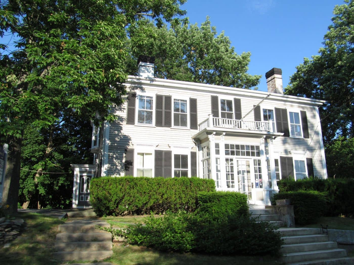
Shipbuilding heart of Maine since 1743 - Bath Iron Works still launches destroyers past the Maine Maritime Museum on the Kennebec.
Midcoast Islands
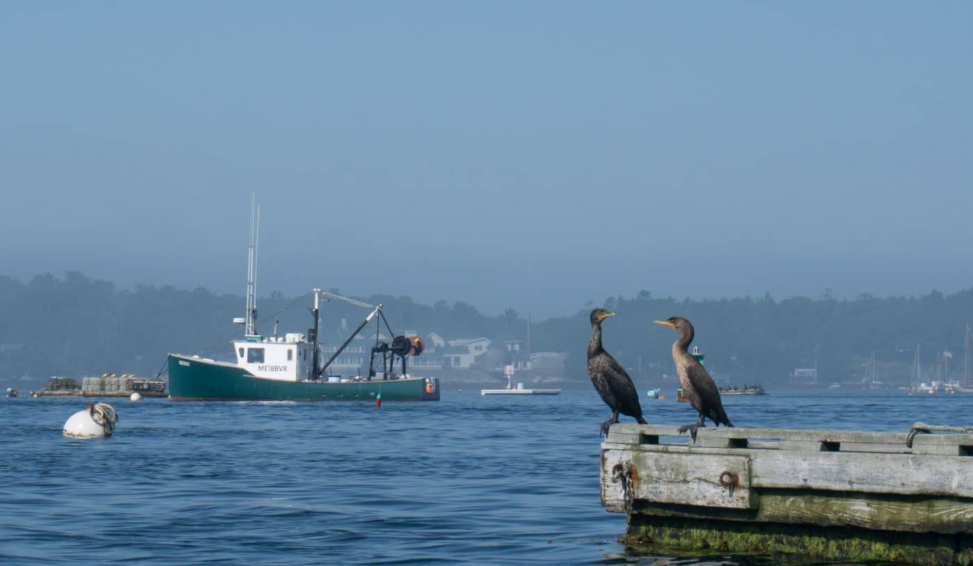
A Midcoast harbor town built around boat trips, with the Coastal Maine Botanical Gardens just up the road.
Midcoast Islands
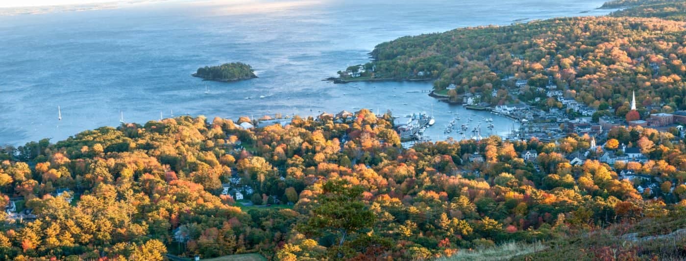
Where the mountains meet the sea - windjammer harbor, Mount Battie summit views, and an independent village with real soul.

Greater Portland
Flagship home of L.L. Bean, open 24/7 - outlets, a tidal river, and surprisingly good eating between the shopping.
Southern Maine Coast
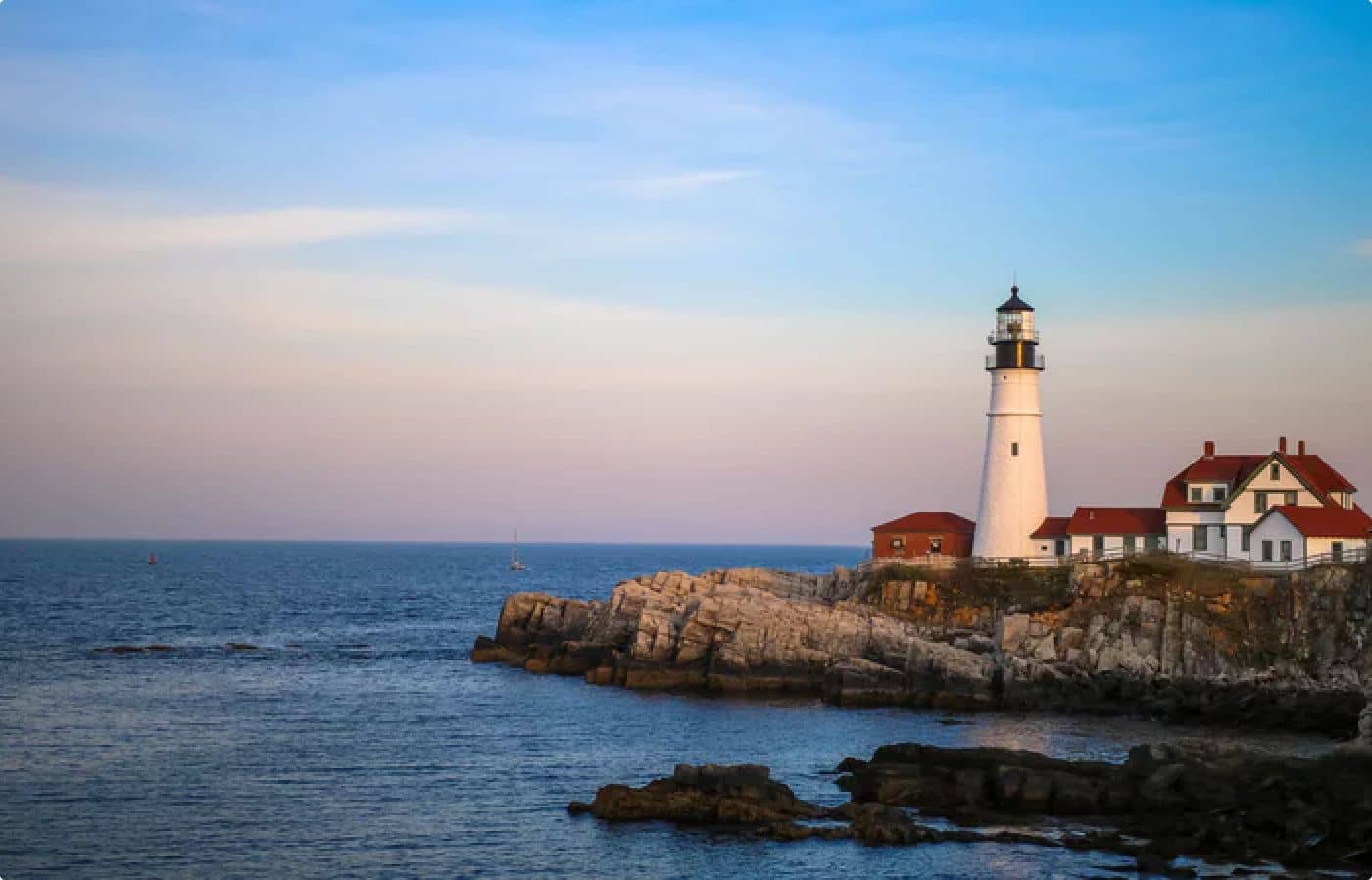
Postcard-perfect village of sea captains' mansions, Lower Village shops, and easy walks to Mother's Beach and Gooch's Beach.